Alaster's Rock
Island in Argyllshire
Scotland
Alaster's Rock
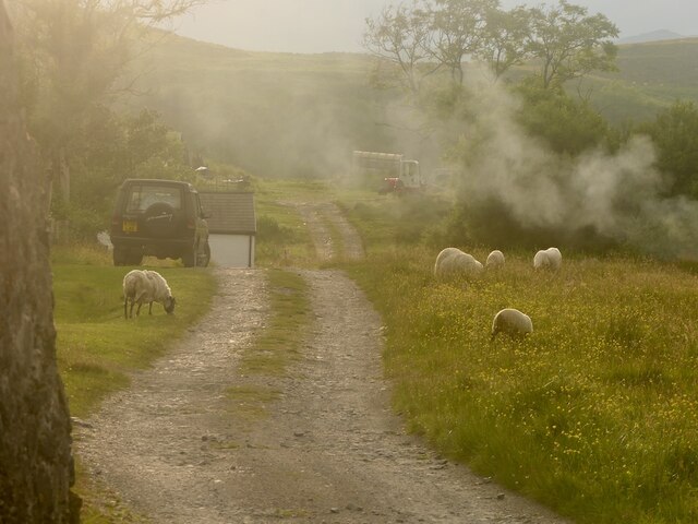
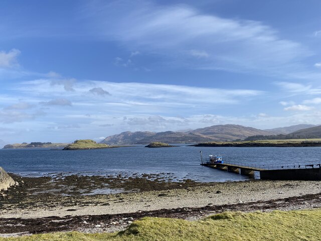
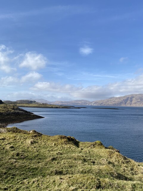
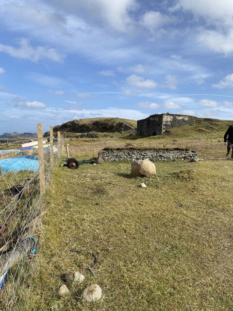
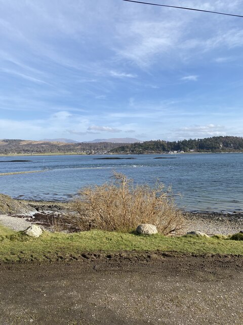
Alaster's Rock is a picturesque island located in Argyllshire, Scotland. Situated in the Inner Hebrides, it is a part of the renowned Firth of Lorn. The island is a popular destination for nature enthusiasts, hikers, and bird watchers.
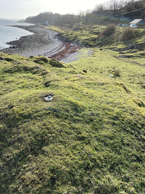
Covering an area of approximately 0.5 square kilometers, Alaster's Rock is characterized by its rugged and rocky terrain, with cliffs reaching up to 50 meters in height. The island offers breathtaking panoramic views of the surrounding sea and neighboring islands.
The island is home to a diverse range of flora and fauna, making it a haven for wildlife enthusiasts. Birdwatchers can spot a variety of seabirds, including gannets, puffins, and guillemots, nesting along the cliffs. Seals can also be spotted basking on the rocks or swimming in the surrounding waters.
Alaster's Rock is accessible by boat, with several local operators offering tours to the island. Visitors can explore the island's walking trails, which provide opportunities to discover its natural beauty up close. Walking along the cliff paths is a popular activity, allowing visitors to appreciate the stunning coastal scenery and observe the abundant wildlife.
The island's peaceful and untouched atmosphere makes it an ideal place for relaxation and tranquility. It offers a unique opportunity to disconnect from the hustle and bustle of daily life and immerse oneself in the beauty of nature. With its stunning landscapes and abundant wildlife, Alaster's Rock is a hidden gem in Argyllshire, waiting to be explored.
If you have any feedback on the listing, please let us know in the comments section below.
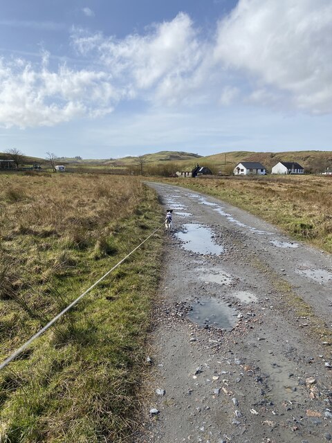
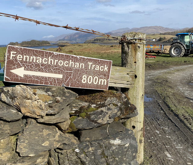
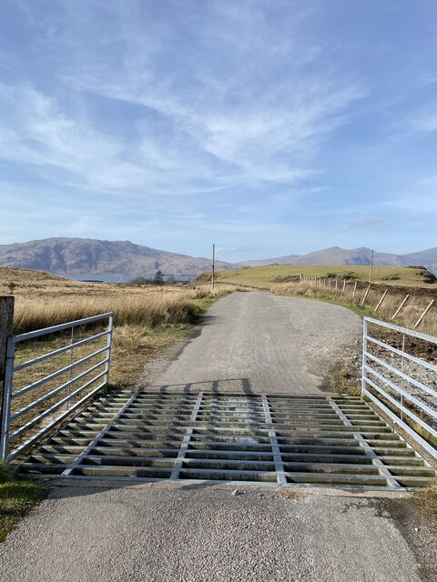
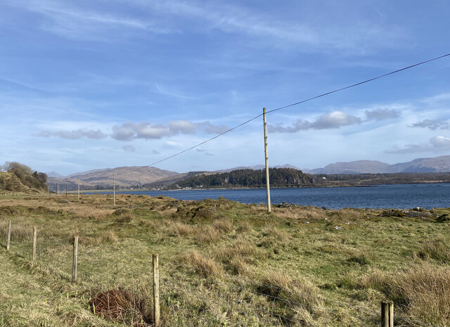
Alaster's Rock Images
Images are sourced within 2km of 56.560856/-5.451599 or Grid Reference NM8846. Thanks to Geograph Open Source API. All images are credited.


Alaster's Rock is located at Grid Ref: NM8846 (Lat: 56.560856, Lng: -5.451599)
Unitary Authority: Argyll and Bute
Police Authority: Argyll and West Dunbartonshire
What 3 Words
///good.invisible.hours. Near Oban, Argyll & Bute
Nearby Locations
Related Wikis

Airds Bay
Airds Bay is a small bay south-west of Port Appin on the west coast of Scotland. It is located at the south-western end of Appin in Argyll and Bute, forming...

St Moluag's Cathedral, Lismore
St Moluag's Cathedral is located on the Scottish island of Lismore just off the coast of Oban. As a congregation of the Church of Scotland, which is Presbyterian...

Tirefour Castle
Tirefour Castle, (or Tirefour Broch, also spelled Tirfuir and Tirrefour) is an Iron Age broch located 4 kilometres north of Achnacroish on the island of...

Castle Coeffin
Castle Coeffin is a ruin on the island of Lismore, an island in Loch Linnhe, in Argyll, on the west coast of Scotland. It stands on a promontory on the...

Eriska
Eriska is a flat tidal island at the entrance to Loch Creran on the west coast of Scotland. Privately owned by the Buchanan-Smiths from 1973 until August...

Castle Stalker
Castle Stalker (Scottish Gaelic: Caisteal an Stalcaire) is a four-storey tower house or keep in the Scottish county Argyll. It is set on a tidal islet...

Shuna Island
Shuna Island or simply Shuna is an island in Loch Linnhe, offshore from Appin, in Argyll and Bute, Scotland. The island is approximately two kilometres...
Appin railway station
Appin was a railway station in Scotland, close to the Sound of Shuna on the east shore of Loch Laiche - an arm of Loch Linnhe, Portnacroish, Appin in Argyll...
Nearby Amenities
Located within 500m of 56.560856,-5.451599Have you been to Alaster's Rock?
Leave your review of Alaster's Rock below (or comments, questions and feedback).