Sgeir nan Clàidhean
Island in Ross-shire
Scotland
Sgeir nan Clàidhean
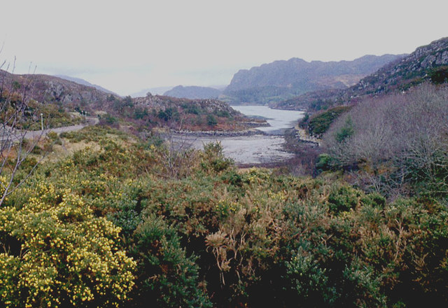
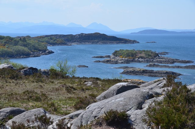
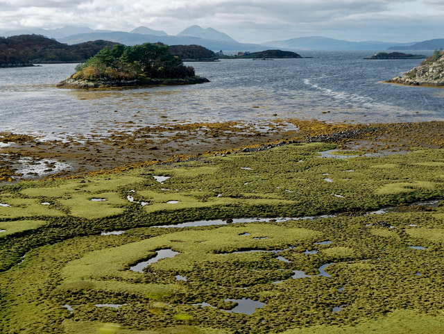
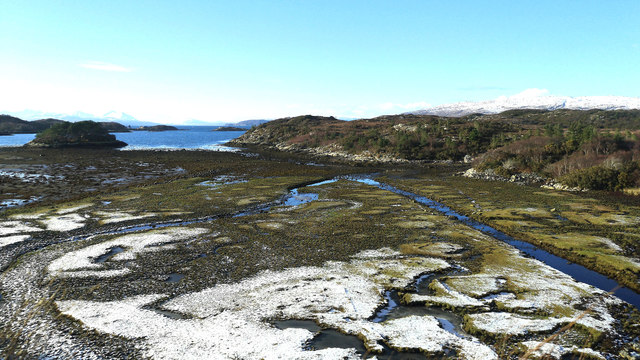
Sgeir nan Clàidhean, also known as the "Island of the Swords," is a small uninhabited island located off the coast of Ross-shire in Scotland. Situated in the Inner Sound, it lies approximately 2 kilometers northeast of the village of Plockton.
The island is characterized by its rugged and rocky landscape, with steep cliffs that rise from the surrounding waters. It covers an area of around 2 hectares and has an elevation of about 30 meters at its highest point. The island is predominantly composed of basalt, a volcanic rock formed from ancient lava flows.
Sgeir nan Clàidhean is named after the numerous sword-like rocks that protrude from its surface, giving the island a distinctive appearance. The origins of these rocks are uncertain, but it is believed they may have been formed through volcanic activity or erosion over thousands of years.
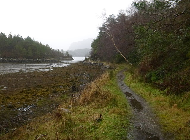
Due to its remote location and challenging terrain, the island is inaccessible to the public. However, it serves as an important nesting site for various seabird species, including guillemots, razorbills, and puffins. The surrounding waters also support a diverse marine ecosystem, attracting seals, dolphins, and occasional sightings of minke whales.
The island's natural beauty and ecological significance make it an area of interest for researchers and conservationists. It is often visited by wildlife enthusiasts and boat tours, allowing visitors to appreciate the island's unique geological features and observe the abundant birdlife that inhabits its shores.
If you have any feedback on the listing, please let us know in the comments section below.
Sgeir nan Clàidhean Images
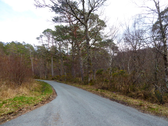
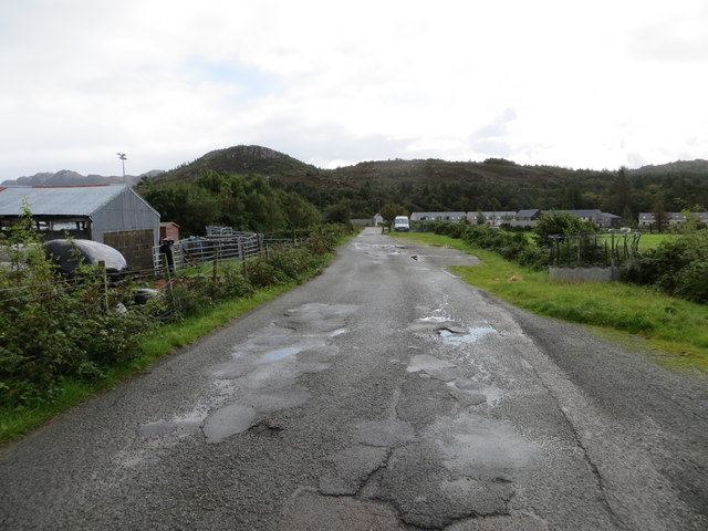
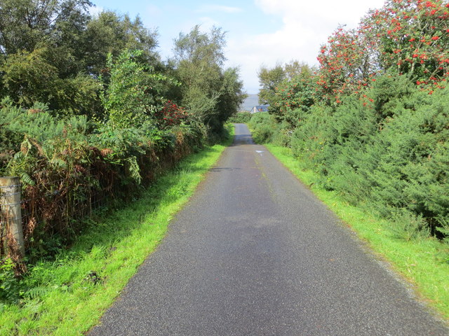
Images are sourced within 2km of 57.342268/-5.6850084 or Grid Reference NG7833. Thanks to Geograph Open Source API. All images are credited.


Sgeir nan Clàidhean is located at Grid Ref: NG7833 (Lat: 57.342268, Lng: -5.6850084)
Unitary Authority: Highland
Police Authority: Highlands and Islands
What 3 Words
///disengage.crown.diverged. Near Kyleakin, Highland
Nearby Locations
Related Wikis

Plockton High School
Plockton High School is a 221-pupil high school in the village of Plockton, Scotland. The catchment area for the school stretches from Applecross in the...

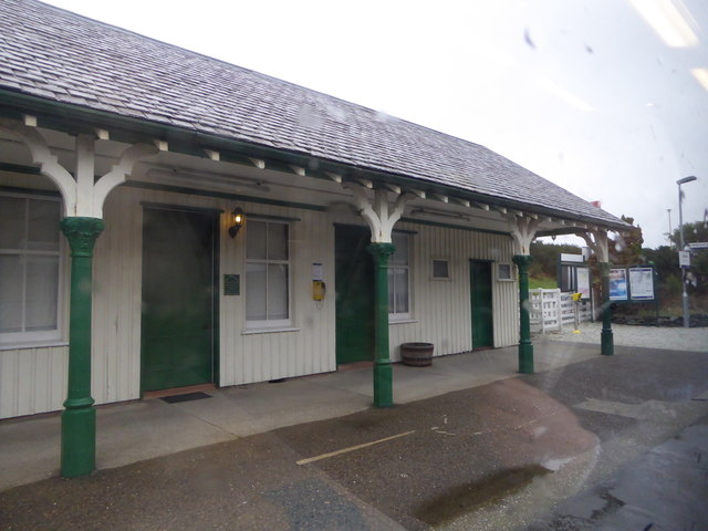
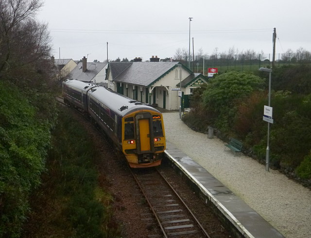
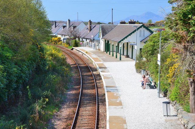
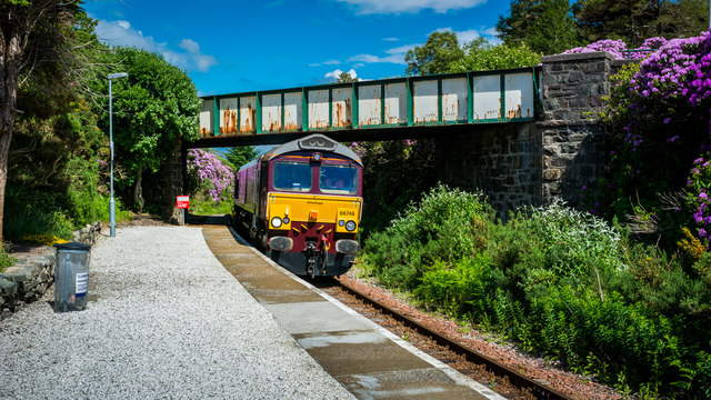
Plockton railway station
Plockton railway station is a railway station on the Kyle of Lochalsh Line, serving the village of Plockton in the Highlands, north-west Scotland. The...

Port an Eòrna
Port an Eòrna is the Scottish Gaelic name for the small settlement of Barleyport, situated almost midway between Plockton and the Kyle of Lochalsh, in...

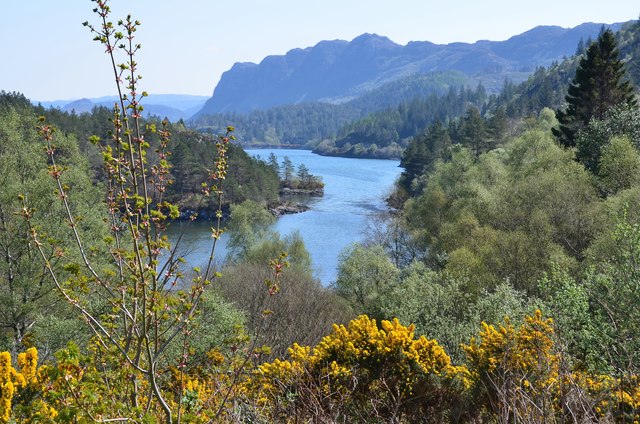
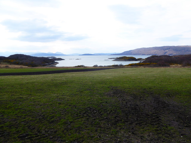
Plockton
Plockton (Scottish Gaelic: Am Ploc/Ploc Loch Aillse) is a village in the Lochalsh, Wester Ross area of the Scottish Highlands with a 2020 population of...
Nearby Amenities
Located within 500m of 57.342268,-5.6850084Have you been to Sgeir nan Clàidhean?
Leave your review of Sgeir nan Clàidhean below (or comments, questions and feedback).