Camas Dubh-Àird
Bay in Ross-shire
Scotland
Camas Dubh-Àird
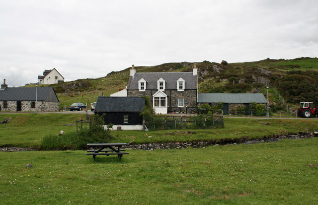
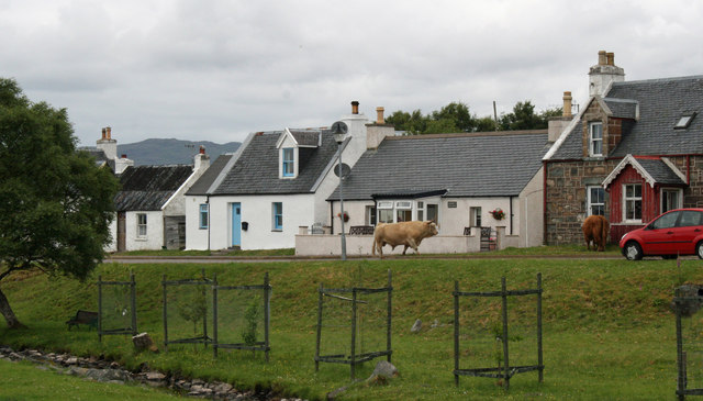
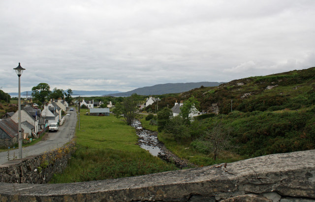
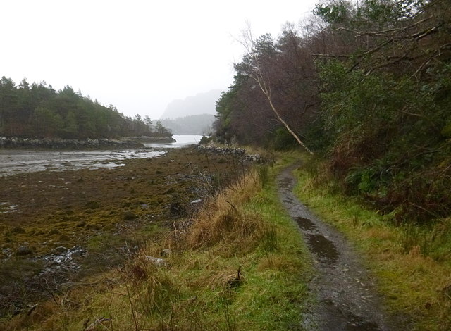
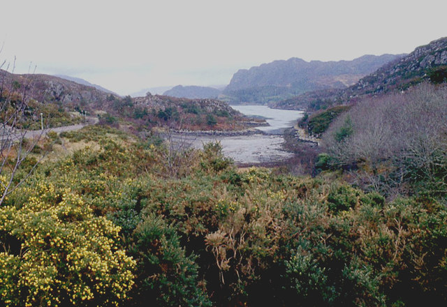
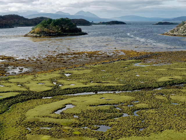
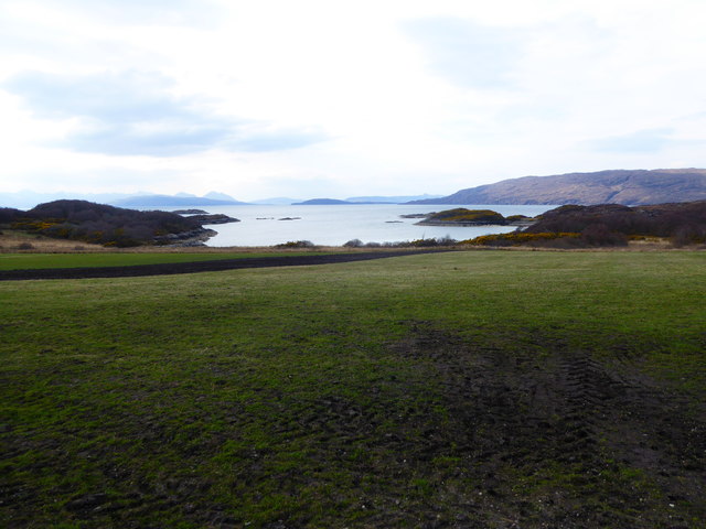
Camas Dubh-Àird is a picturesque bay situated in Ross-shire, Scotland. Nestled along the western coast of the Scottish Highlands, this bay offers breathtaking views and a tranquil atmosphere for visitors and locals alike.
The bay is characterized by its sandy beach, which stretches for approximately 1 kilometer and is a popular spot for sunbathing, picnicking, and leisurely walks. The sand is soft and golden, contrasting beautifully with the crystal-clear waters of the North Atlantic Ocean.
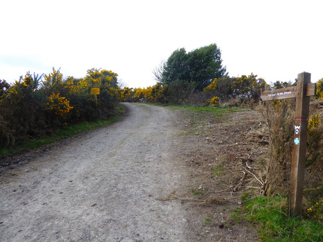
Surrounded by rolling hills and lush greenery, Camas Dubh-Àird provides ample opportunities for outdoor activities such as hiking and birdwatching. The bay is home to a diverse range of bird species, including gulls, oystercatchers, and herons. Visitors can also spot seals and other marine life in the bay, adding to the area's natural beauty.
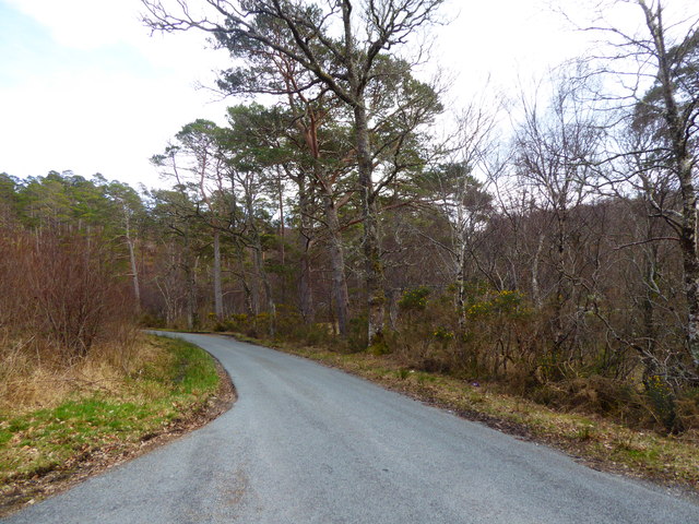
The bay's location, tucked away from major towns and cities, ensures a peaceful and secluded experience for visitors seeking a break from the hustle and bustle of everyday life. The nearby coastal village of Gairloch offers amenities such as accommodation, restaurants, and shops, making it a convenient base for exploring Camas Dubh-Àird and its surroundings.
Whether it's enjoying a quiet day at the beach, embarking on a scenic hike, or simply taking in the stunning views, Camas Dubh-Àird is a hidden gem that showcases the natural wonders of the Scottish Highlands.
If you have any feedback on the listing, please let us know in the comments section below.
Camas Dubh-Àird Images
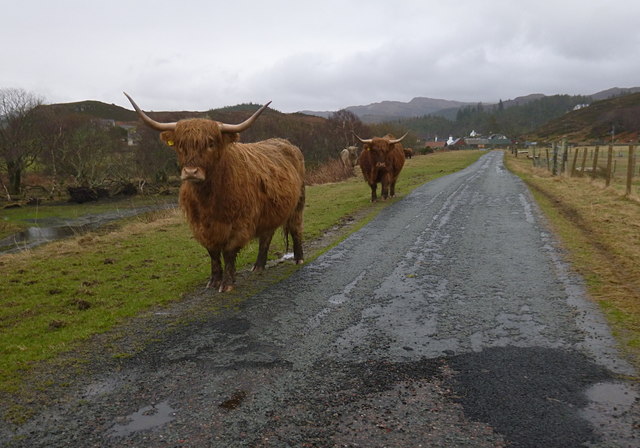
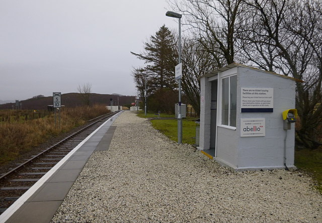
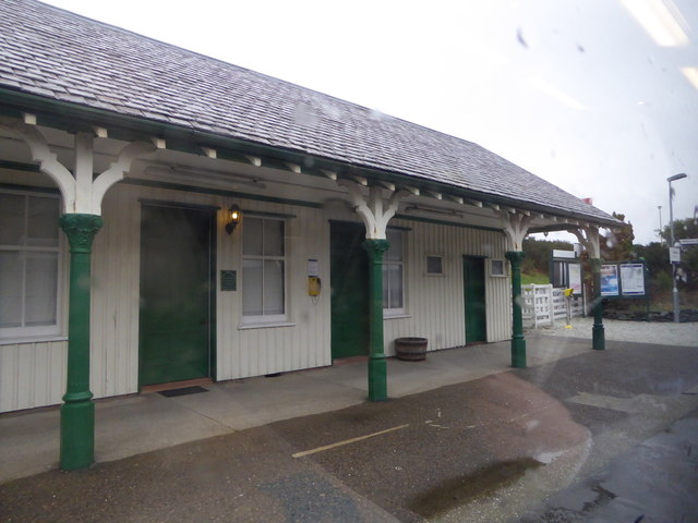
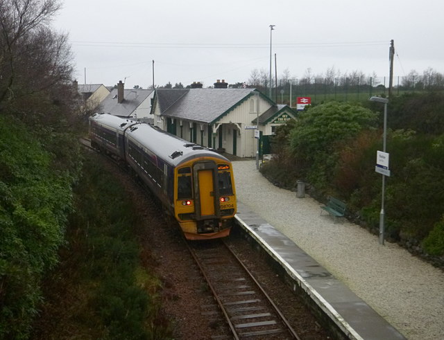
Images are sourced within 2km of 57.336233/-5.6807955 or Grid Reference NG7833. Thanks to Geograph Open Source API. All images are credited.
Camas Dubh-Àird is located at Grid Ref: NG7833 (Lat: 57.336233, Lng: -5.6807955)
Unitary Authority: Highland
Police Authority: Highlands and Islands
What 3 Words
///protected.thus.seat. Near Kyleakin, Highland
Nearby Locations
Related Wikis

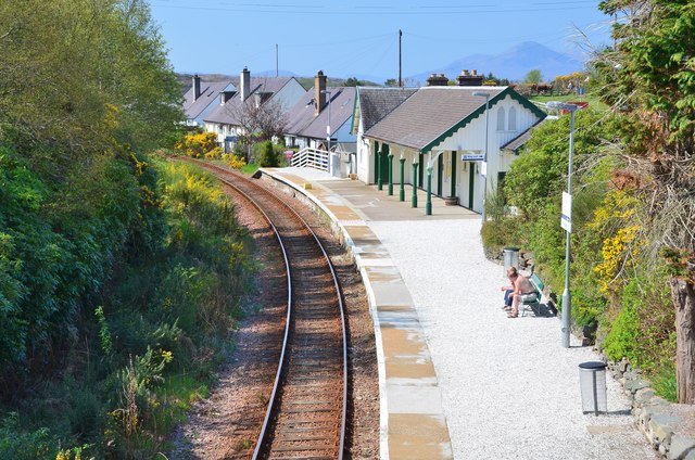
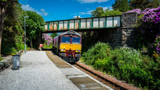
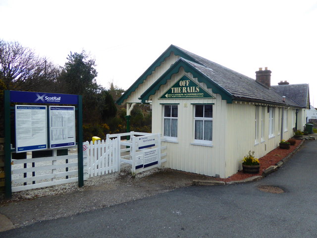
Plockton railway station
Plockton railway station is a railway station on the Kyle of Lochalsh Line, serving the village of Plockton in the Highlands, north-west Scotland. The...

Plockton High School
Plockton High School is a 221-pupil high school in the village of Plockton, Scotland. The catchment area for the school stretches from Applecross in the...

Port an Eòrna
Port an Eòrna is the Scottish Gaelic name for the small settlement of Barleyport, situated almost midway between Plockton and the Kyle of Lochalsh, in...

Plockton
Plockton (Scottish Gaelic: Am Ploc/Ploc Loch Aillse) is a village in the Lochalsh, Wester Ross area of the Scottish Highlands with a 2020 population of...
Nearby Amenities
Located within 500m of 57.336233,-5.6807955Have you been to Camas Dubh-Àird?
Leave your review of Camas Dubh-Àird below (or comments, questions and feedback).