An Dubh-Àird
Coastal Feature, Headland, Point in Ross-shire
Scotland
An Dubh-Àird
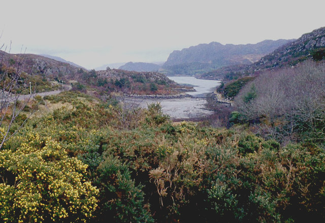
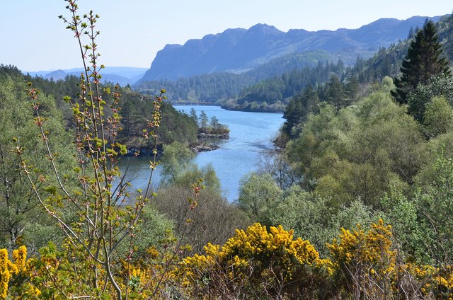
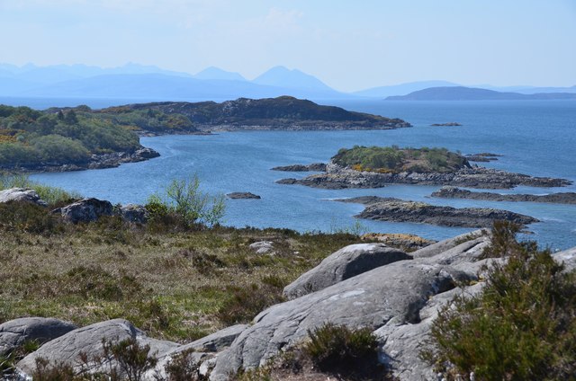
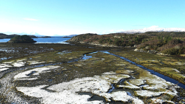
An Dubh-Àird is a stunning coastal feature located in Ross-shire, Scotland. This headland, also known as Black Point, juts out into the North Sea and offers breathtaking views of the surrounding landscape.
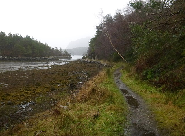
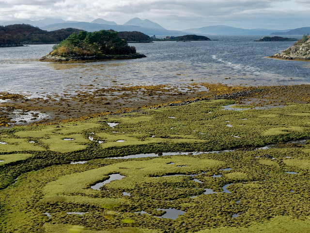
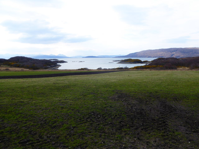
The headland is characterized by its rugged cliffs, which rise majestically from the sea, creating a dramatic and picturesque scene. The cliffs are composed of ancient rock formations, showcasing layers of sedimentary rocks that have been shaped by erosion over millions of years.
An Dubh-Àird is also home to a diverse range of flora and fauna, making it an important ecological site. The area surrounding the headland is covered with heather, gorse, and grasses, providing a habitat for various bird species, including gannets, puffins, and guillemots. Seals can often be spotted basking on the rocks, while dolphins and porpoises can be seen playing in the waves.
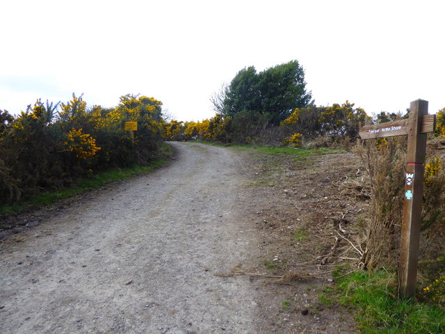
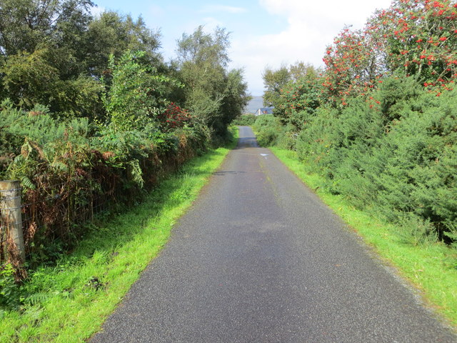
Visitors to An Dubh-Àird can explore the headland by following a well-marked coastal trail, which allows for stunning views of the sea and the surrounding countryside. The trail also provides access to hidden coves and sandy beaches, perfect for a relaxing day by the sea.
An Dubh-Àird is a popular destination for nature enthusiasts, hikers, and photographers, who are drawn to its natural beauty and tranquility. The headland offers a peaceful retreat from the hustle and bustle of everyday life, where visitors can immerse themselves in the stunning coastal scenery and experience the wonders of the Scottish coastline.
If you have any feedback on the listing, please let us know in the comments section below.
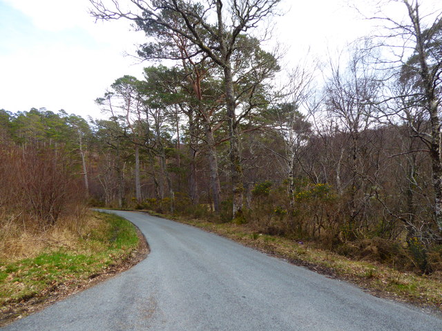
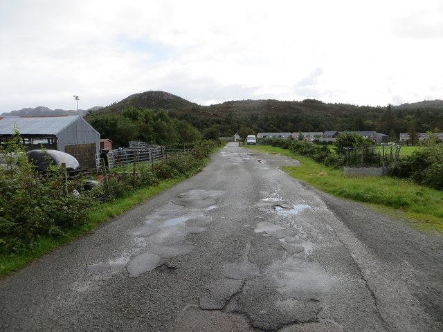
An Dubh-Àird Images
Images are sourced within 2km of 57.339514/-5.6832525 or Grid Reference NG7833. Thanks to Geograph Open Source API. All images are credited.


An Dubh-Àird is located at Grid Ref: NG7833 (Lat: 57.339514, Lng: -5.6832525)
Unitary Authority: Highland
Police Authority: Highlands and Islands
What 3 Words
///cracker.instilled.cats. Near Kyleakin, Highland
Nearby Locations
Related Wikis

Plockton High School
Plockton High School is a 221-pupil high school in the village of Plockton, Scotland. The catchment area for the school stretches from Applecross in the...

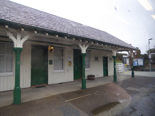
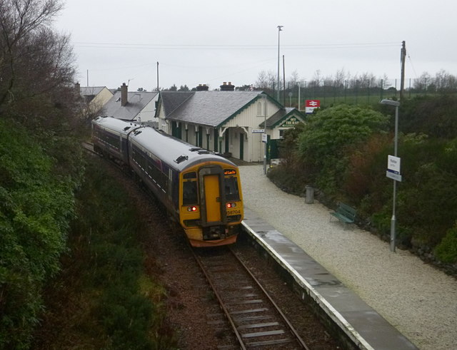
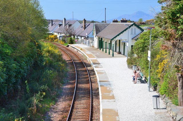
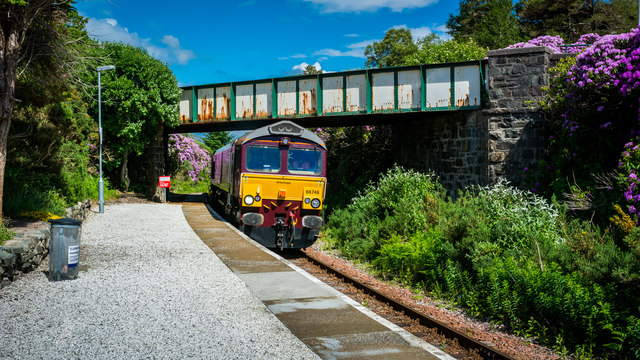
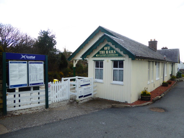
Plockton railway station
Plockton railway station is a railway station on the Kyle of Lochalsh Line, serving the village of Plockton in the Highlands, north-west Scotland. The...

Port an Eòrna
Port an Eòrna is the Scottish Gaelic name for the small settlement of Barleyport, situated almost midway between Plockton and the Kyle of Lochalsh, in...

Plockton
Plockton (Scottish Gaelic: Am Ploc/Ploc Loch Aillse) is a village in the Lochalsh, Wester Ross area of the Scottish Highlands with a 2020 population of...
Nearby Amenities
Located within 500m of 57.339514,-5.6832525Have you been to An Dubh-Àird?
Leave your review of An Dubh-Àird below (or comments, questions and feedback).