Sgeir Dhearg
Island in Inverness-shire
Scotland
Sgeir Dhearg
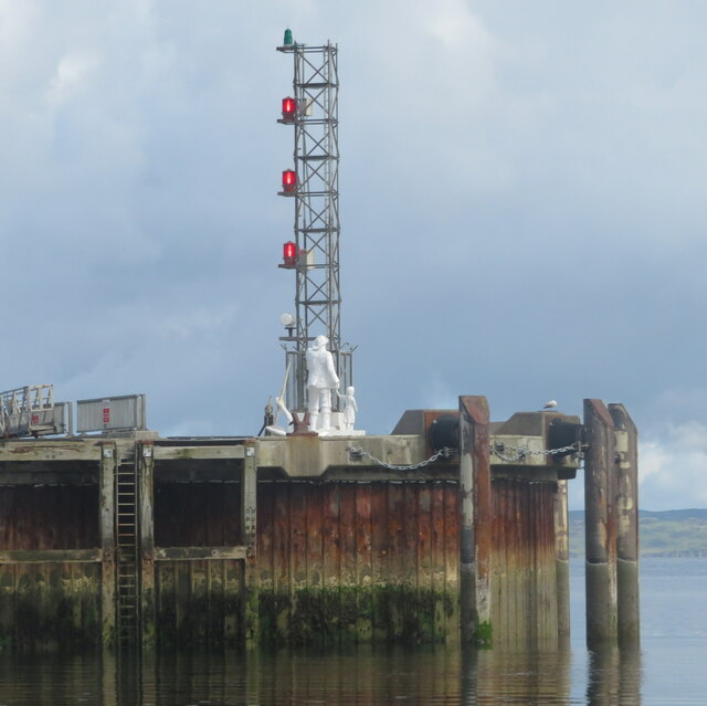
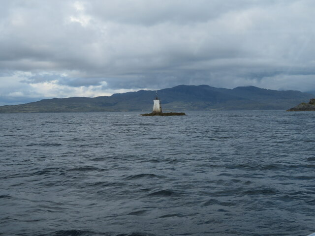
Sgeir Dhearg is a small island located off the northwest coast of Scotland, specifically in Inverness-shire. Also known as Red Rock, it is part of the Inner Hebrides archipelago. The island is situated in the Atlantic Ocean, about 1.5 kilometers southwest of the Isle of Skye.
Sgeir Dhearg is a rocky island with a relatively small land area, measuring approximately 0.2 hectares. It is characterized by its distinctive red-colored rocks, which give the island its name. The island is surrounded by clear and pristine waters, providing a picturesque and serene environment.
Due to its small size and rugged terrain, Sgeir Dhearg is uninhabited and lacks any permanent structures or facilities. However, it serves as an important habitat for various marine species and seabirds. It is particularly known as a breeding site for seabirds such as guillemots, razorbills, and puffins.
The island is also popular among wildlife enthusiasts and birdwatchers who visit to observe the diverse range of bird species that inhabit the area. The surrounding waters of Sgeir Dhearg are often frequented by seals, dolphins, and occasional sightings of whales.
Access to Sgeir Dhearg is mainly by boat or kayak, with visitors typically using nearby harbors or launching points on the Isle of Skye or mainland Scotland. Due to its remote location and lack of amenities, it is recommended for visitors to come prepared with appropriate equipment, food, and water. The island offers a unique opportunity to experience the natural beauty and wildlife of the Scottish coast in a tranquil and untouched setting.
If you have any feedback on the listing, please let us know in the comments section below.
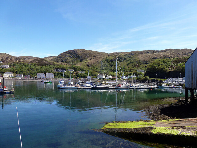
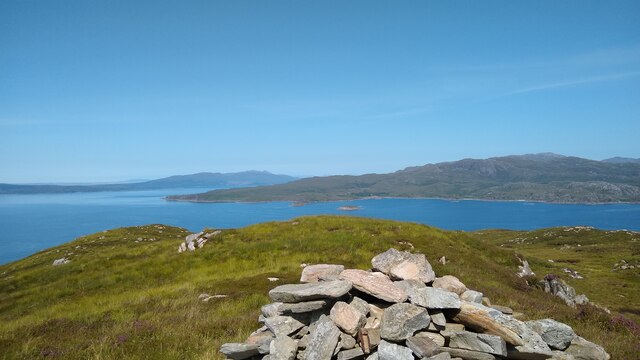
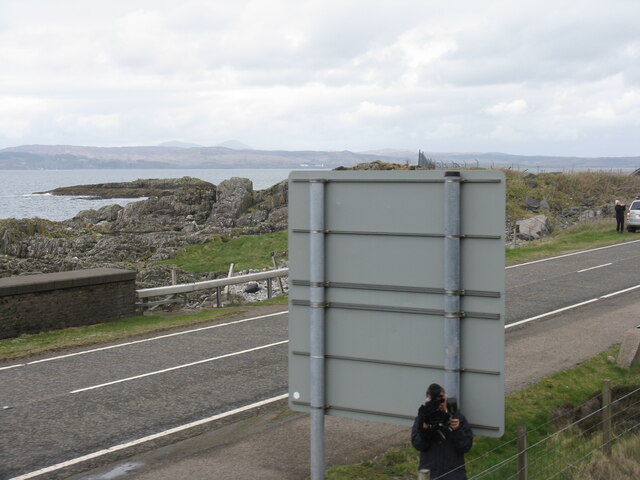
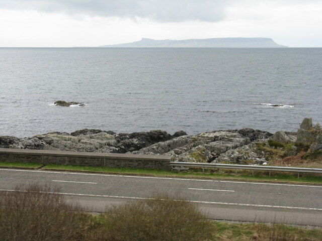
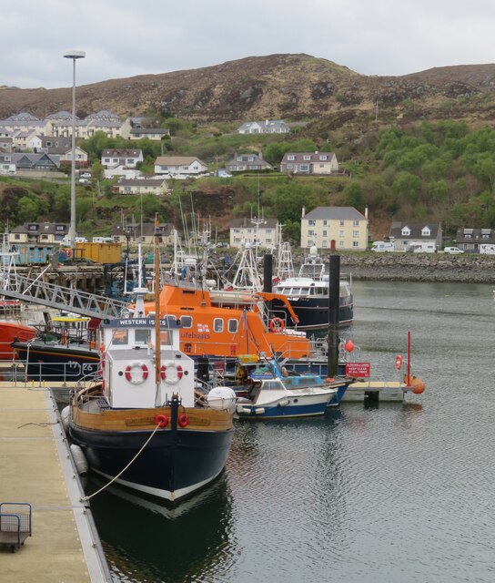
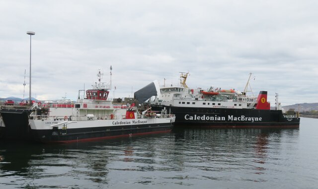
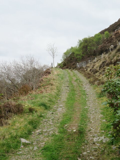
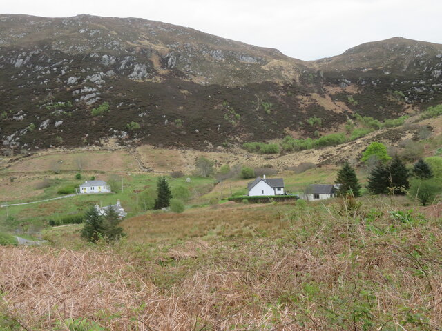
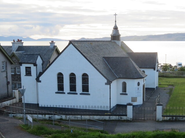
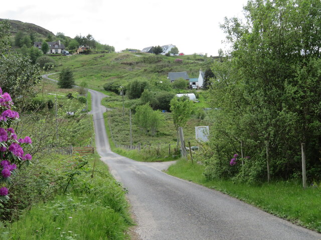
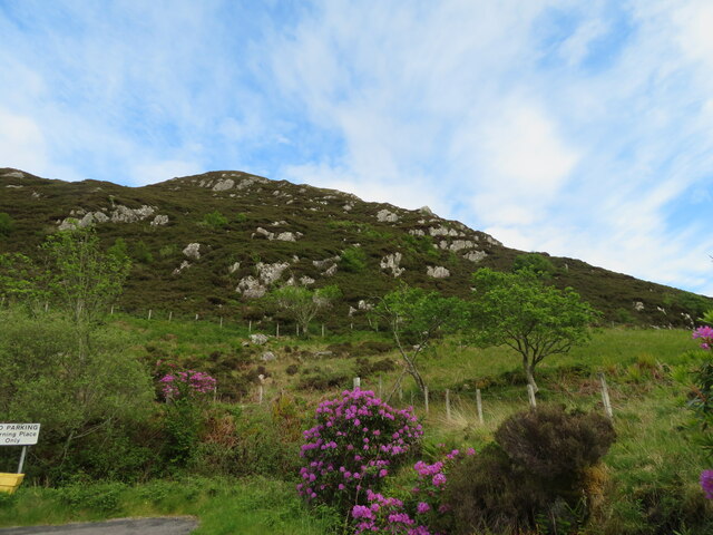
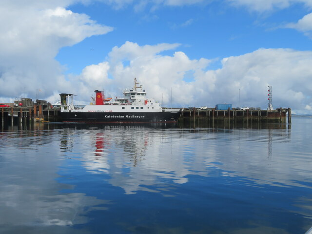
Sgeir Dhearg Images
Images are sourced within 2km of 57.010358/-5.8266347 or Grid Reference NM6797. Thanks to Geograph Open Source API. All images are credited.
Sgeir Dhearg is located at Grid Ref: NM6797 (Lat: 57.010358, Lng: -5.8266347)
Unitary Authority: Highland
Police Authority: Highlands and Islands
What 3 Words
///galloped.composer.quitter. Near Armadale, Highland
Nearby Locations
Related Wikis

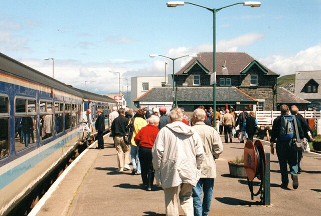
Mallaig railway station
Mallaig railway station is a railway station serving the ferry port of Mallaig, Lochaber, in the Highland region of Scotland. This station is a terminus...

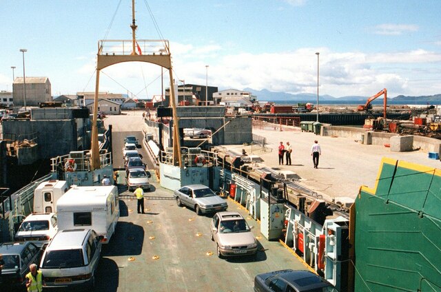
Mallaig
Mallaig ( ; Scottish Gaelic: Malaig [ˈmal̪ˠɛkʲ]) is a port in Morar, on the west coast of the Highlands of Scotland. It faces Skye from across the Sound...

Mallaig High School
Mallaig High School is a secondary school in Mallaig, Lochaber, Scotland. The school building opened in 1989. The current Acting Head Teacher is Pamela...

Loch an Nostarie
Loch an Nostarie is an irregular shaped shallow freshwater loch that lies about a mile north of the west-end of Loch Morar and about a mile south-east...
Nearby Amenities
Located within 500m of 57.010358,-5.8266347Have you been to Sgeir Dhearg?
Leave your review of Sgeir Dhearg below (or comments, questions and feedback).