Sgeir Chaol

Island in Argyllshire

Scotland

Sgeir Chaol

A83 heading north at Muasdale
A83 heading north at Muasdale Credit: Elliott Simpson

Sgeir Chaol is a small uninhabited island located off the west coast of Scotland in Argyllshire. The island is part of the Inner Hebrides archipelago and is situated in the Sound of Mull, which separates the Isle of Mull from the mainland.

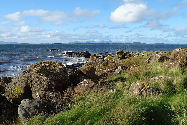
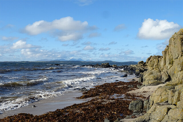
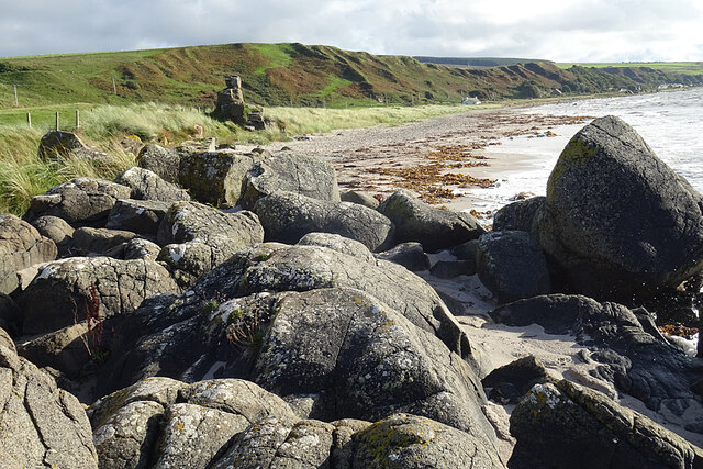
With a total land area of approximately 1.2 hectares, Sgeir Chaol is a rocky and rugged island characterized by steep cliffs and a distinctive rock formation known as a skerry. The skerry rises sharply from the surrounding sea and provides a nesting site for various seabird species, including kittiwakes, guillemots, and razorbills.

The island is renowned for its rich marine life and is often visited by scuba divers and snorkelers who are drawn to its crystal-clear waters. Underwater, divers can explore the diverse kelp forests and encounter an abundance of marine species, such as seals, dolphins, and an array of colorful fish.

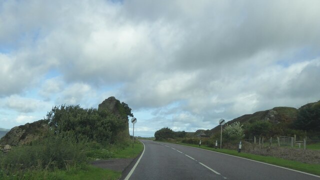
Access to Sgeir Chaol is usually by boat, as there are no established landing facilities on the island. Visitors can also admire the island's natural beauty from the water, taking in the breathtaking views of the surrounding coastline and nearby islands.

Due to its remote location and lack of amenities, Sgeir Chaol is not suitable for long-term habitation or tourism infrastructure. However, its pristine and untouched environment makes it a perfect destination for nature lovers and those seeking a peaceful and secluded natural retreat.

If you have any feedback on the listing, please let us know in the comments section below.
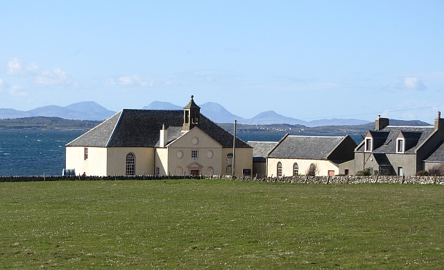
Sgeir Chaol Images

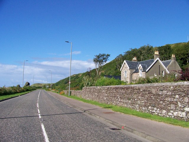
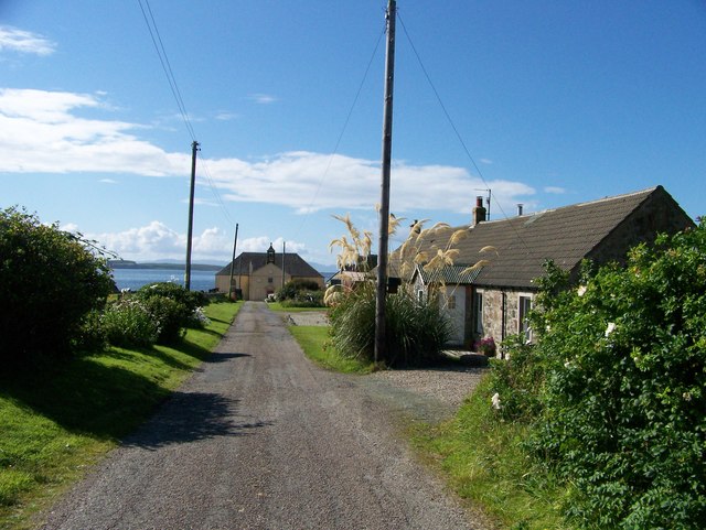
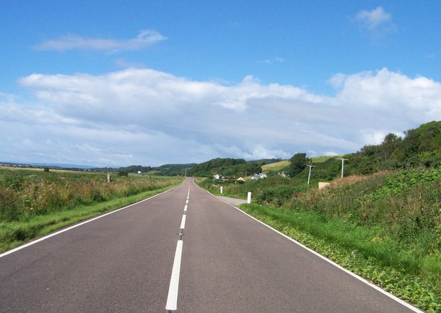
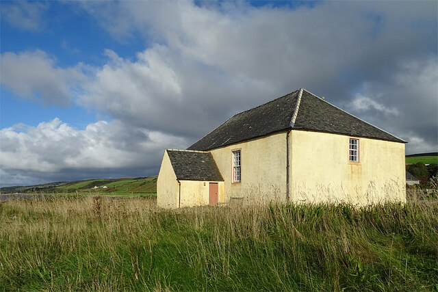
Images are sourced within 2km of 55.619459/-5.6846165 or Grid Reference NR6842. Thanks to Geograph Open Source API. All images are credited.

A83 heading north at Muasdale
Killean Parish Church, A' Chleit near Muasdale, Argyll
A83 heading to Tayinloan
Killean Kirk The rear of the kirk at A' Chleit. This is the parish kirk of Killean and Kilchenzie, and dates from 1787 with later repairs. It is a Category A Listed building.
Killean Kirk
The rear of the kirk at A' Chleit. This is the parish kirk of Killean and Kilchenzie, and dates from 1787 with later repairs. It is a Category A Listed building.
Shore at A' Chleit As I suspected, the promontory of A' Chleit owes its existence to a Palaeogene igneous dyke which extends out to sea as a line of rocks. It is part of a dyke swarm, probably associated with the Arran volcanic centre. Unfortunately the tide was too high to take a proper look at it. From here one can enjoy a fine view over the Isle of Gigha towards the Paps of Jura.
Shore at A' Chleit
As I suspected, the promontory of A' Chleit owes its existence to a Palaeogene igneous dyke which extends out to sea as a line of rocks. It is part of a dyke swarm, probably associated with the Arran volcanic centre. Unfortunately the tide was too high to take a proper look at it. From here one can enjoy a fine view over the Isle of Gigha towards the Paps of Jura.
A' Chleit From the beach, the igneous dyke is even more obvious. It is part of a Palaeogene dyke swarm, probably associated with the Arran volcanic centre. Unfortunately the tide was too high to examine it closely.
A' Chleit
From the beach, the igneous dyke is even more obvious. It is part of a Palaeogene dyke swarm, probably associated with the Arran volcanic centre. Unfortunately the tide was too high to examine it closely.
Beach at A' Chleit Looking along the sandy beach south of A' Chleit. In the background is the slope down from a much earlier beach, left high and dry as sea level fell after the last Ice Age.
Beach at A' Chleit
Looking along the sandy beach south of A' Chleit. In the background is the slope down from a much earlier beach, left high and dry as sea level fell after the last Ice Age.
Killean and Kilchenzie Parish Kirk The kirk is a Category A Listed building, dating from 1787. It is still in regular ecclesiastical use.
Killean and Kilchenzie Parish Kirk
The kirk is a Category A Listed building, dating from 1787. It is still in regular ecclesiastical use.
A83 north of Muasdale, Kintyre
A83 northbound near A'Chleit, Kintyre
A83 northbound at Beachmenach, Kintyre
A83 near Beacharr, Kintyre
Chleit Pasture, Jura and Killean and Kilkenzie Parish Church.
Chleit
Pasture, Jura and Killean and Kilkenzie Parish Church.
Raised beach, Muasdale The A83 negotiates a way past some stranded sea stacks.
Raised beach, Muasdale
The A83 negotiates a way past some stranded sea stacks.
Lounging Alpacas at Chleit These endearingly odd animals look even more odd when recently sheared!
Lounging Alpacas at Chleit
These endearingly odd animals look even more odd when recently sheared!
Dolphins at A'Chleit A small pod of Dolphins in the Sound of Gigha.
Dolphins at A'Chleit
A small pod of Dolphins in the Sound of Gigha.
A83 through Muasdale
Road to the church at Chleit
Show me another place!

Sgeir Chaol is located at Grid Ref: NR6842 (Lat: 55.619459, Lng: -5.6846165)

Unitary Authority: Argyll and Bute

Police Authority: Argyll and West Dunbartonshire

What 3 Words

///defectors.submitted.dating. Near Campbeltown, Argyll & Bute

Nearby Locations

Sgeir Mhòr Sgeir Chaol

Related Wikis

Muasdale

Muasdale (Scottish Gaelic: Muasdal) is a hamlet on the western coast of the Kintyre Peninsula of Scotland. As of the year 2000 Muasdale had a population...

Dundonald Castle, Kintyre

Dundonald Castle is a ruined castle near Killean, Kintyre, Scotland. It was a stronghold of Clan Donald, but later passed to the Campbells. == Notes... ==

Tayinloan

Tayinloan (Scottish Gaelic: Taigh an Lòin, pronounced [t̪ɤj ə ˈl̪ˠɔːɲ]) is a village situated on the west coast of the Kintyre peninsula in Argyll and...

Cara Island

Cara Island (Scottish Gaelic: Cara) is a small island which is located off the west coast of Kintyre in Scotland. == Geography and etymology == Cara is...

Nearby Amenities

Located within 500m of 55.619459,-5.6846165
Ford: yes
Lat/Long: 55.6173953/-5.6791118
The data included in this document is from www.openstreetmap.org. The data is made available under ODbL.

Have you been to Sgeir Chaol?

Leave your review of Sgeir Chaol below (or comments, questions and feedback).