Rubha na h-Acairseid
Coastal Feature, Headland, Point in Inverness-shire
Scotland
Rubha na h-Acairseid
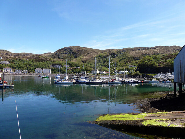
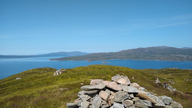
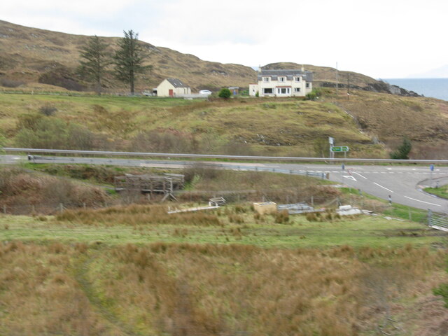
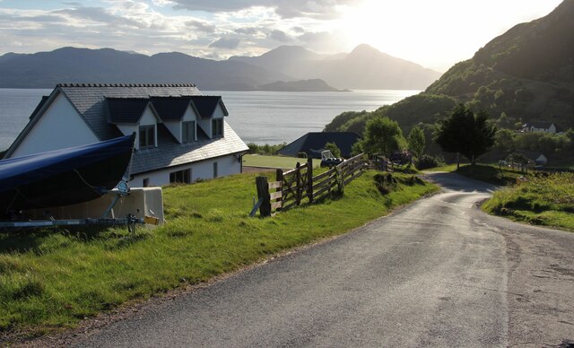
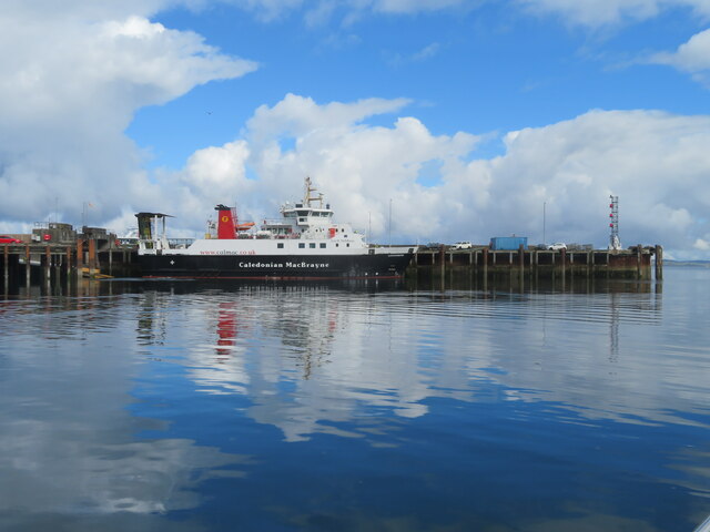
Rubha na h-Acairseid, also known as Auckengill Point, is a prominent headland located in Inverness-shire, Scotland. Situated along the rugged coastline of the North Sea, this coastal feature offers stunning views of the surrounding landscape and the vast expanse of the ocean.
The headland is characterized by steep cliffs that jut out into the sea, providing a dramatic backdrop for visitors to admire. The area is rich in wildlife, with seabirds nesting in the cliffs and marine life thriving in the waters below.
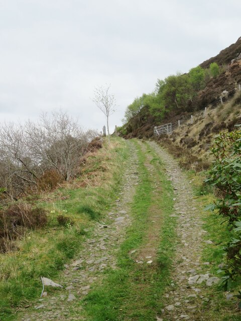
Rubha na h-Acairseid is a popular destination for outdoor enthusiasts, offering opportunities for hiking, birdwatching, and photography. The headland is also steeped in history, with ancient ruins and archaeological sites scattered throughout the area.
Visitors can take in the beauty of the coastline, explore the rugged terrain, and immerse themselves in the rich cultural heritage of the region. Whether seeking adventure or relaxation, Rubha na h-Acairseid offers a unique and unforgettable experience for all who visit.
If you have any feedback on the listing, please let us know in the comments section below.
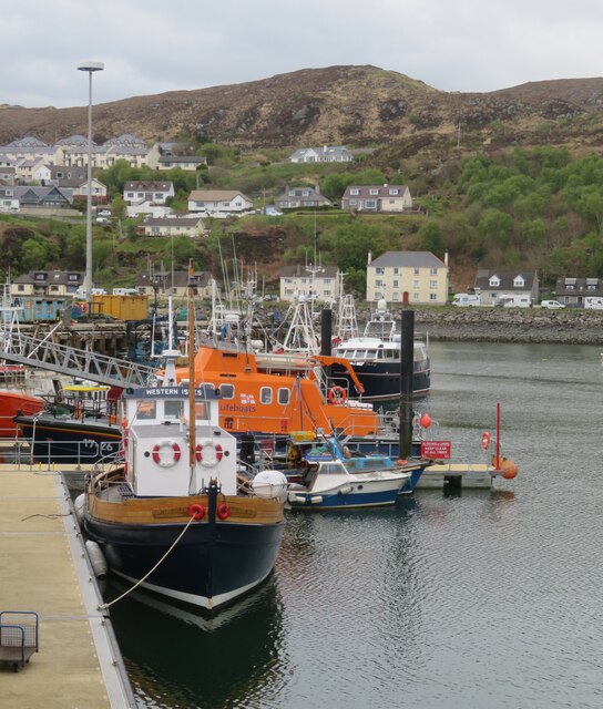
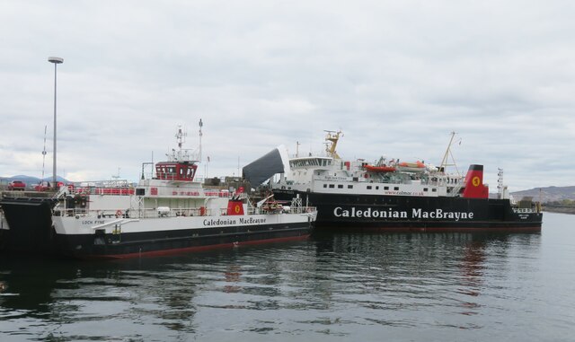
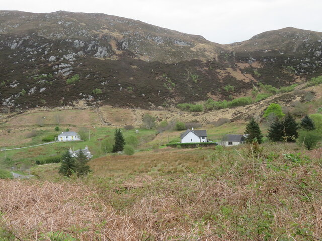
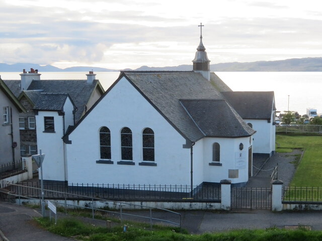
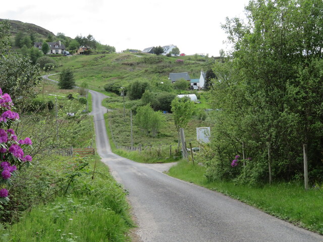
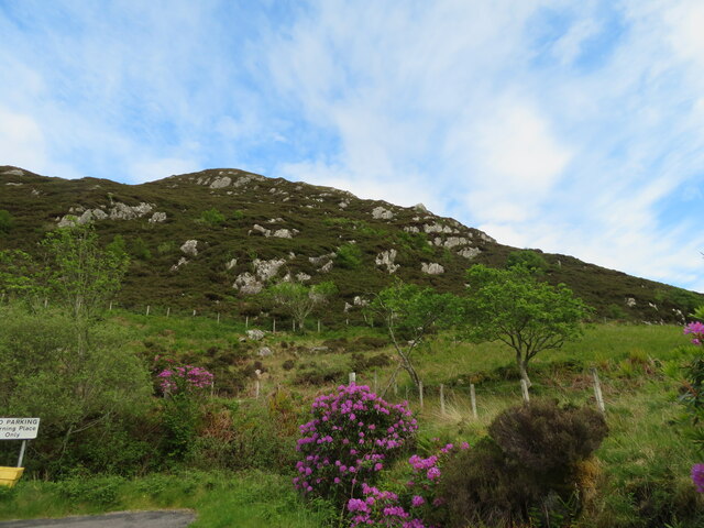
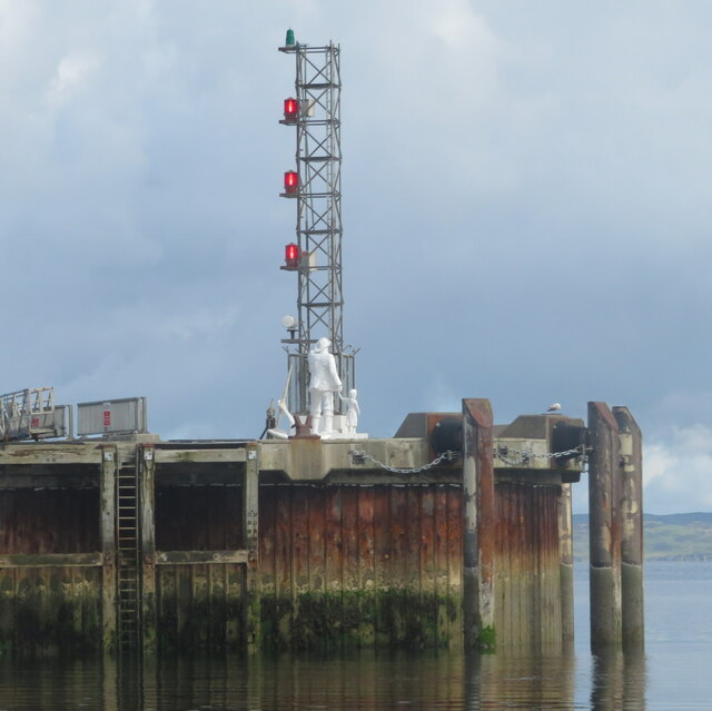
Rubha na h-Acairseid Images
Images are sourced within 2km of 57.007019/-5.830856 or Grid Reference NM6797. Thanks to Geograph Open Source API. All images are credited.
Rubha na h-Acairseid is located at Grid Ref: NM6797 (Lat: 57.007019, Lng: -5.830856)
Unitary Authority: Highland
Police Authority: Highlands and Islands
What 3 Words
///mining.redeemed.historic. Near Armadale, Highland
Nearby Locations
Related Wikis

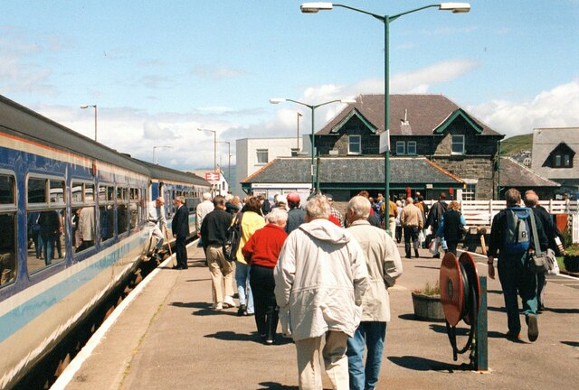
Mallaig railway station
Mallaig railway station is a railway station serving the ferry port of Mallaig, Lochaber, in the Highland region of Scotland. This station is a terminus...

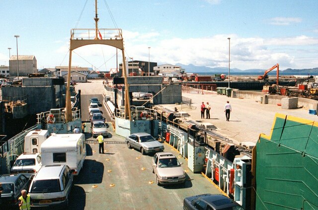
Mallaig
Mallaig ( ; Scottish Gaelic: Malaig [ˈmal̪ˠɛkʲ]) is a port in Morar, on the west coast of the Highlands of Scotland. It faces Skye from across the Sound...

Mallaig High School
Mallaig High School is a secondary school in Mallaig, Lochaber, Scotland. The school building opened in 1989. The current Acting Head Teacher is Pamela...

Loch an Nostarie
Loch an Nostarie is an irregular shaped shallow freshwater loch that lies about a mile north of the west-end of Loch Morar and about a mile south-east...
Nearby Amenities
Located within 500m of 57.007019,-5.830856Have you been to Rubha na h-Acairseid?
Leave your review of Rubha na h-Acairseid below (or comments, questions and feedback).