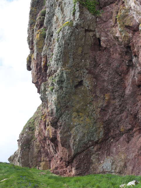
Guala na Popuill

Coastal Feature, Headland, Point in Argyllshire

Scotland

Guala na Popuill

Slipways in Dunaverty Bay Looking south.
Slipways in Dunaverty Bay Credit: Andrew Abbott

The requested URL returned error: 429 Too Many Requests

If you have any feedback on the listing, please let us know in the comments section below.

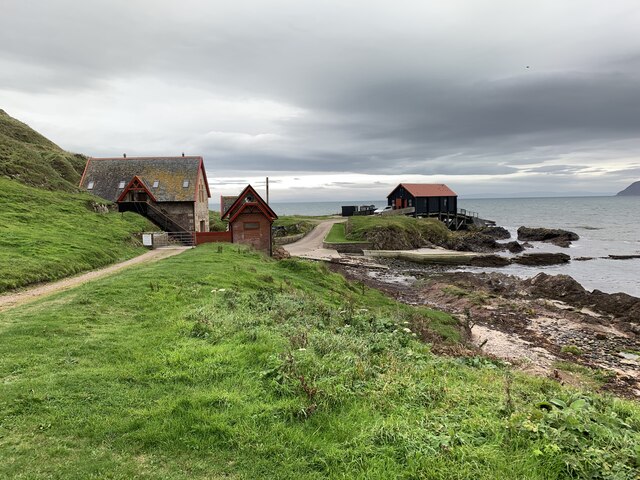
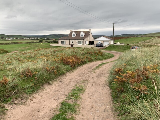
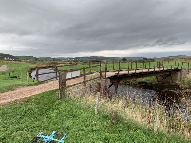
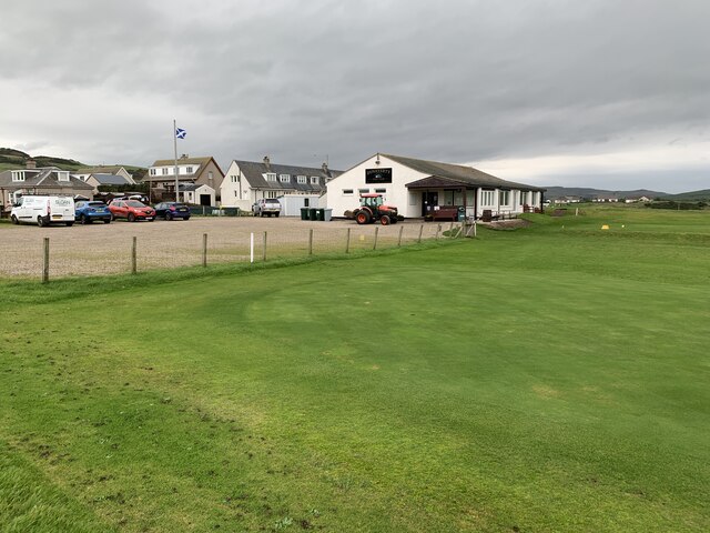
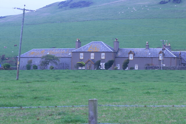
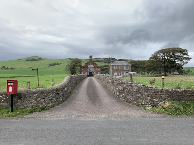
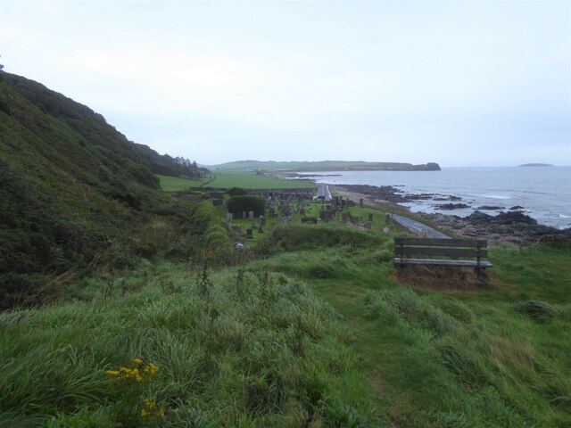
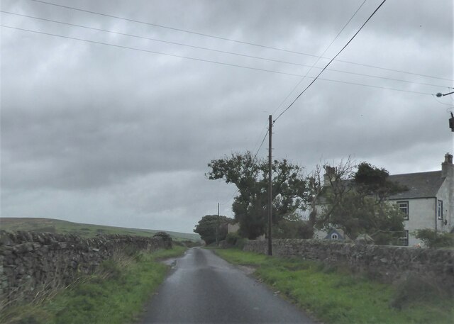
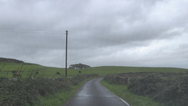
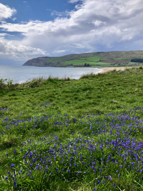
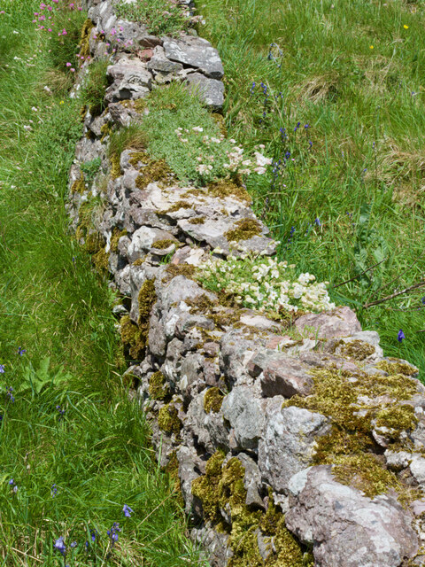
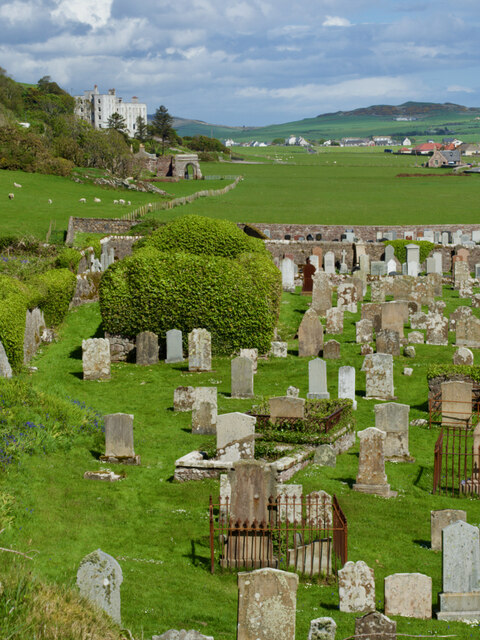
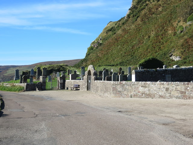
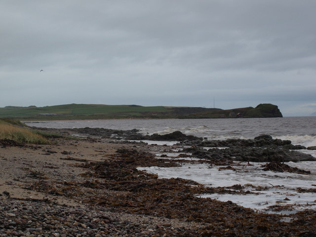
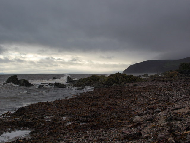
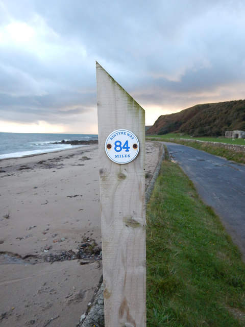
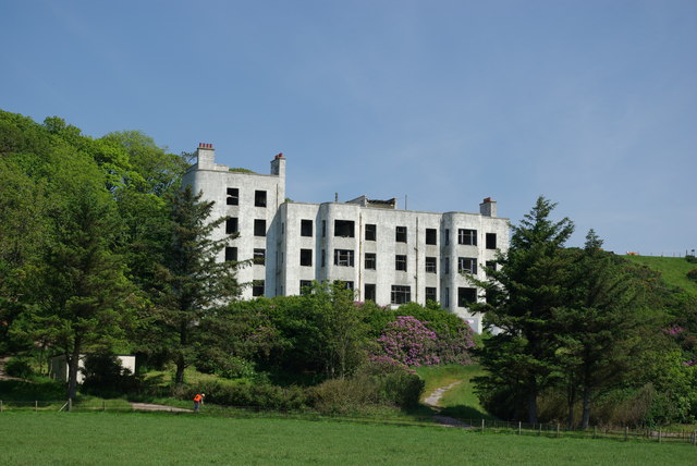
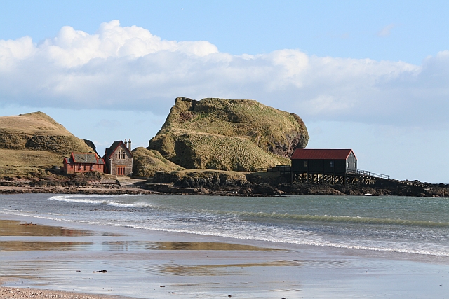
Guala na Popuill Images

Images are sourced within 2km of 55.30847/-5.6686972 or Grid Reference NR6707. Thanks to Geograph Open Source API. All images are credited.

Slipways in Dunaverty Bay Looking south.
Slipways in Dunaverty Bay
Looking south.
Dunaverty Cottage On the peninsula near the remains of Dunaverty Castle.
Dunaverty Cottage
On the peninsula near the remains of Dunaverty Castle.
Footbridge over Conieglen Water Near Dunaverty Castle.
Footbridge over Conieglen Water
Near Dunaverty Castle.
Dunaverty Golf Club Near Southend.
Dunaverty Golf Club
Near Southend.
Mauneroy tearoom and store In Southend.
Mauneroy tearoom and store
In Southend.
Machribeg Farm Near Southend.
Machribeg Farm
Near Southend.
Former United Presbyterian Church, Southend Category B listed. Listing reference LB18345.
Church opened in 1797. It became a United Presbyterian Church and was rebuilt in 1889 to the designs of architect Robert Hay of Glasgow. Became Church of Scotland in 1946 and named St Columba's Church. Closed in 1965.
Former United Presbyterian Church, Southend
Category B listed. Listing reference LB18345. Church opened in 1797. It became a United Presbyterian Church and was rebuilt in 1889 to the designs of architect Robert Hay of Glasgow. Became Church of Scotland in 1946 and named St Columba's Church. Closed in 1965.
Burial ground at Keil Point, Kintyre
Minor road at Lephenstrath, Kintyre
Minor road at Carskiey, Kintyre
Carskey Bay
Carskey Bay
Dry-stone wall
Dry-stone wall
Rock of Dunaverty
Rock of Dunaverty
St. Columba's chapel
Cemetery and war graves at Keil near Southend
Dunaverty Bay from Keil The picture looks from the shore just below Keil Cemetery East towards Dunaverty Bay and Rock.
Dunaverty Bay from Keil
The picture looks from the shore just below Keil Cemetery East towards Dunaverty Bay and Rock.
Shoreline below Keil cemetery The picture looks west. The cliffs on the far side of Carskey Bay are at the right and the coast of Northern Ireland is quite clear on the horizon.
Shoreline below Keil cemetery
The picture looks west. The cliffs on the far side of Carskey Bay are at the right and the coast of Northern Ireland is quite clear on the horizon.
Sign Post - Kintyre Way Marker 84 Miles to the end of trail in this westerly direction.
Sign Post - Kintyre Way Marker
84 Miles to the end of trail in this westerly direction.
Show me another place!

Guala na Popuill is located at Grid Ref: NR6707 (Lat: 55.30847, Lng: -5.6686972)

Unitary Authority: Argyll and Bute

Police Authority: Argyll and West Dunbartonshire

What 3 Words

///deck.bandwagon.saved. Near Campbeltown, Argyll & Bute

Related Wikis

St Columba's Chapel, Southend

St Columba's Chapel (Kilcomkill) is a ruined medieval chapel near Southend, Argyll and Bute, Scotland. It is noted for its carved grave slabs. == References ==

Keil Hotel

Keil Hotel is a former hotel near Southend, Kintyre in western Scotland. == History and architecture == It was constructed between 1937 and 1939 for Captain...

Battle of Dunaverty

The Battle of Dunaverty involved a battle and the siege of Dunaverty Castle in Kintyre, Scotland, in 1647. The events involved the Covenanter Army under...

Dunaverty Castle

Dunaverty Castle is located at Southend at the southern end of the Kintyre peninsula in western Scotland. The site was once a fort belonging to the Clan...

Nearby Amenities

Located within 500m of 55.30847,-5.6686972
Keil Caves
Tourism: attraction
Lat/Long: 55.3081207/-5.6704163
the Priest's Well
Historic: yes
Man Made: water_well
Lat/Long: 55.3084288/-5.6678517
'St. Columba's Footprints'
Historic: stone
Note: the impressions of two human feet and a date can be seen cut into the level surface of a small natural rock-outcrop. Each imprint represents the rough impression of a shod right foot, and between them the figures 564 have been crudely incised in Arabic
Note 1: numerals are not likely to be earlier than the 16th century. The date of the southern footprint is uncertain, but it may be as early as the end of the 1st Millennium BC.
Source: http://canmore.rcahms.gov.uk/en/site/318860/details/southend+st+columba+s+church+and+priest+s+well/
Tourism: attraction
Lat/Long: 55.3081937/-5.6686443
Power: pole
Lat/Long: 55.3108759/-5.6738826
Power: pole
Lat/Long: 55.3113475/-5.6735429
Power: pole
Lat/Long: 55.3119246/-5.67322
The data included in this document is from www.openstreetmap.org. The data is made available under ODbL.

Have you been to Guala na Popuill?

Leave your review of Guala na Popuill below (or comments, questions and feedback).