Eilean na h-Oitire
Island in Inverness-shire
Scotland
Eilean na h-Oitire

The requested URL returned error: 429 Too Many Requests
If you have any feedback on the listing, please let us know in the comments section below.
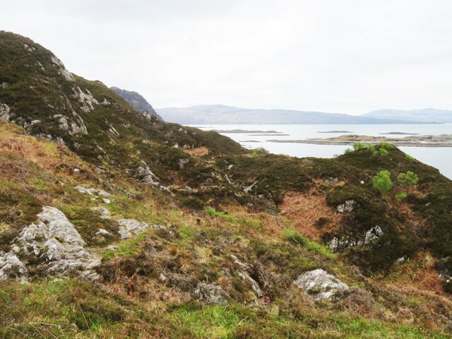
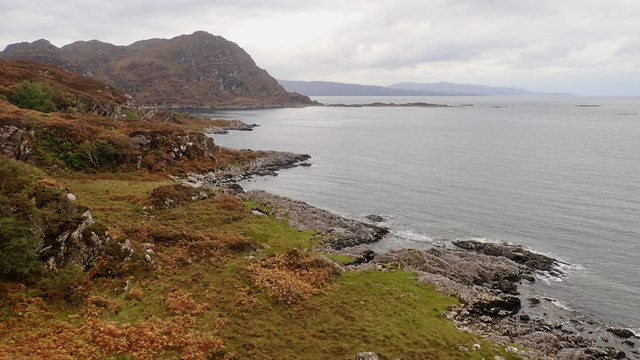
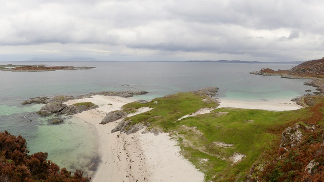
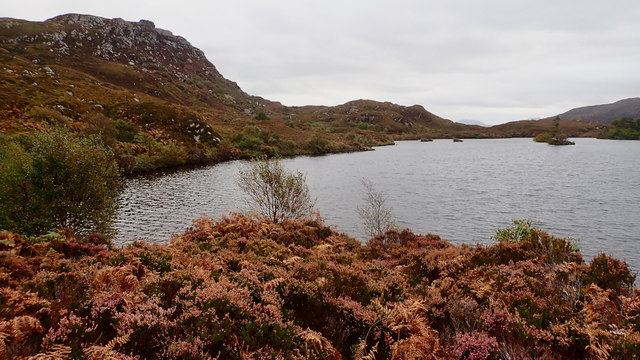
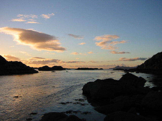
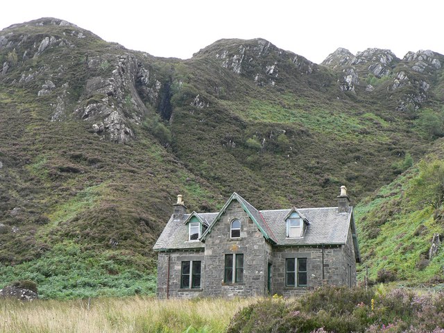
Eilean na h-Oitire Images
Images are sourced within 2km of 56.808518/-5.8618928 or Grid Reference NM6475. Thanks to Geograph Open Source API. All images are credited.


Eilean na h-Oitire is located at Grid Ref: NM6475 (Lat: 56.808518, Lng: -5.8618928)
Unitary Authority: Highland
Police Authority: Highlands and Islands
What 3 Words
///fermented.showcase.below. Near Arisaig, Highland
Nearby Locations
Related Wikis

Eilean Shona
Eilean Shona (Scottish Gaelic: Eilean Seòna) is a tidal island in Loch Moidart, Scotland. The modern name may be from the Old Norse for "sea island". The...

Castle Tioram
Castle Tioram (; Scottish Gaelic: Caisteal Tioram, meaning "dry castle") is a ruined castle that sits on the tidal island Eilean Tioram in Loch Moidart...

Glenuig
Glenuig ( glen-OO-ig, Scottish Gaelic: Ghlìnn-Ùige) is a small village in Moidart, Lochaber, Highland, on the west coast of Scotland. It is around 30 miles...

Loch Moidart
Loch Moidart is a sea loch (sea inlet) in the district of Moidart in Highland, Scotland. It is on the west coast of Scotland, and runs about 8 km (5 miles...
Nearby Amenities
Located within 500m of 56.808518,-5.8618928Have you been to Eilean na h-Oitire?
Leave your review of Eilean na h-Oitire below (or comments, questions and feedback).