Cnap Air Muir
Island in Argyllshire
Scotland
Cnap Air Muir
The requested URL returned error: 429 Too Many Requests
If you have any feedback on the listing, please let us know in the comments section below.
Cnap Air Muir Images
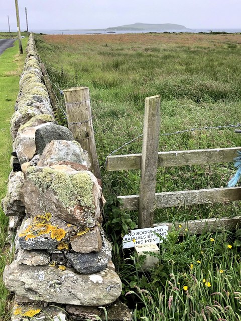
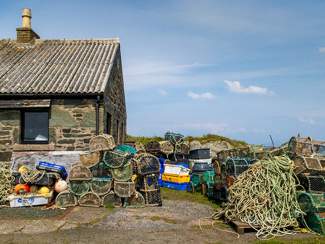
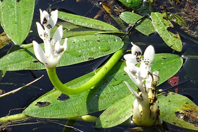
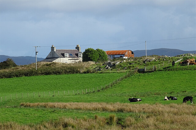
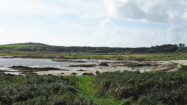
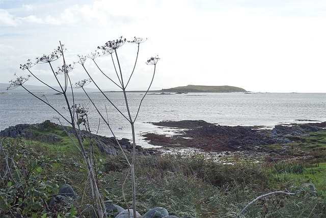
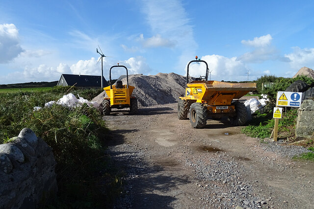
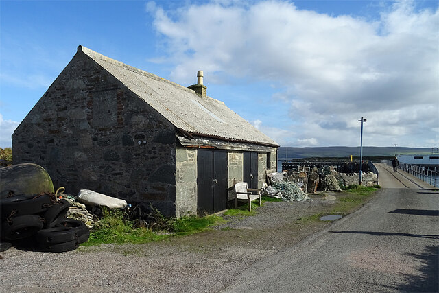
Images are sourced within 2km of 55.648613/-5.7468456 or Grid Reference NR6445. Thanks to Geograph Open Source API. All images are credited.
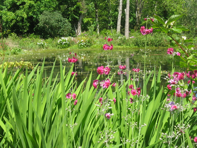
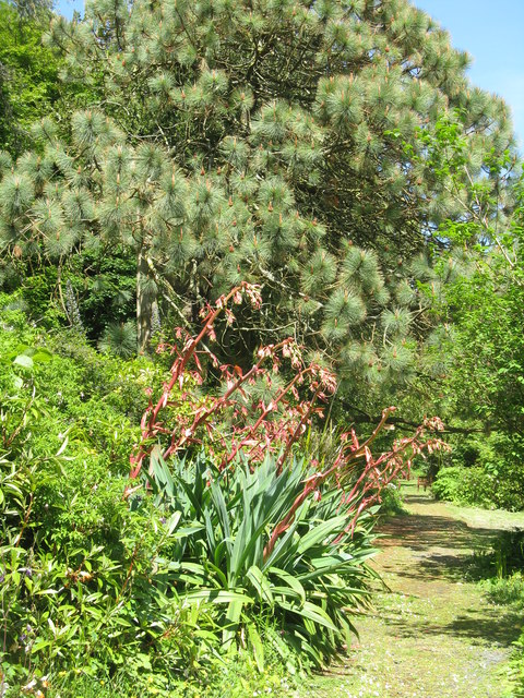
![Pond-edge plants at Achamore Garden Primula [pink] and Libertia [white flowers, of the Iris family], with a carved Otter by the pond.](https://s0.geograph.org.uk/geophotos/05/44/68/5446824_2d8ef6d8.jpg)
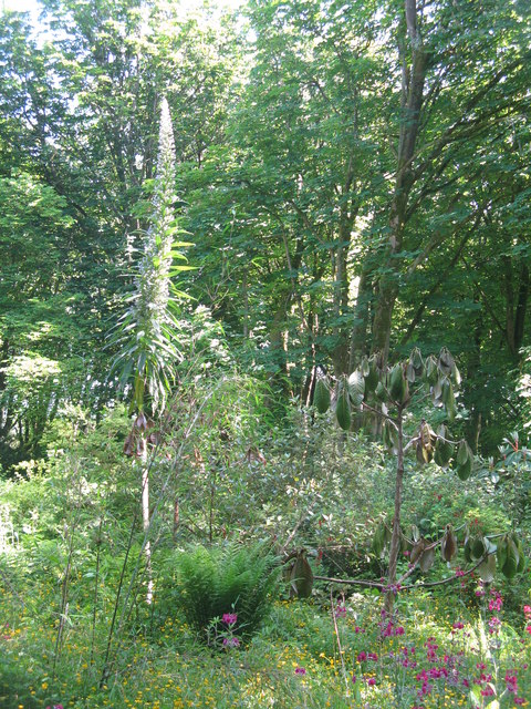
![Cabbage Tree and Giant Viper's Bugloss at Achamore Two plants [Cordyline australis, from New Zealand and Echium pininana, from the Canary Islands, resp.] that demonstrate the mildness of the Argyll climate.](https://s1.geograph.org.uk/geophotos/05/44/68/5446849_1cf8ed07.jpg)
Cnap Air Muir is located at Grid Ref: NR6445 (Lat: 55.648613, Lng: -5.7468456)
Unitary Authority: Argyll and Bute
Police Authority: Argyll and West Dunbartonshire
What 3 Words
///luckier.cookie.braced. Near Craighouse, Argyll & Bute
Nearby Locations
Related Wikis

Ardminish
Ardminish (Scottish Gaelic: Aird Mhèanais) is the sole village on the Isle of Gigha in the Inner Hebrides, in Argyll and Bute, Scotland, and considered...

St Fionnlagh's Chapel
St Fionnlagh's Chapel (St Finla's Chapel) is a ruined medieval chapel on Cara Island, Argyll and Bute, Scotland. First recorded in the 15th century, the...
Cara Island
Cara Island (Scottish Gaelic: Cara) is a small island which is located off the west coast of Kintyre in Scotland. == Geography and etymology == Cara is...

Achamore House
Achamore House is a mansion on the Isle of Gigha, Scotland. It was built in 1884 for Lt-Col William James Scarlett, and the extensive gardens were laid...
Nearby Amenities
Located within 500m of 55.648613,-5.7468456Have you been to Cnap Air Muir?
Leave your review of Cnap Air Muir below (or comments, questions and feedback).