Sgeir Mhòr

Coastal Feature, Headland, Point in Argyllshire

Scotland

Sgeir Mhòr

Gunnera and Primula at Achamore Gardens The gardens are  a highlight of the Island of Gigha - plenty of rambling paths and a delightful informality.
Gunnera and Primula at Achamore Gardens Credit: M J Richardson

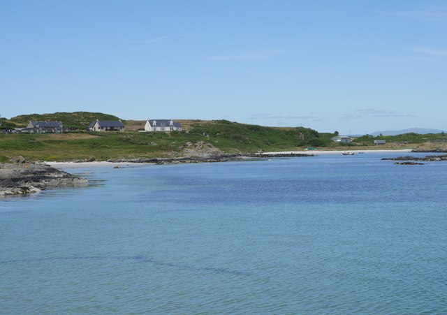
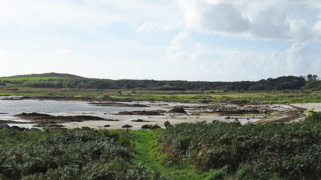
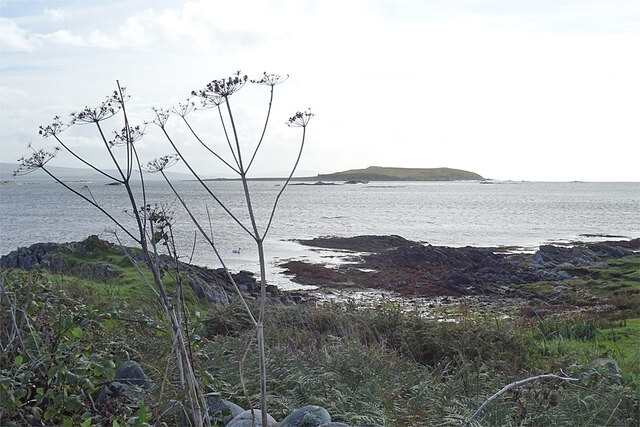
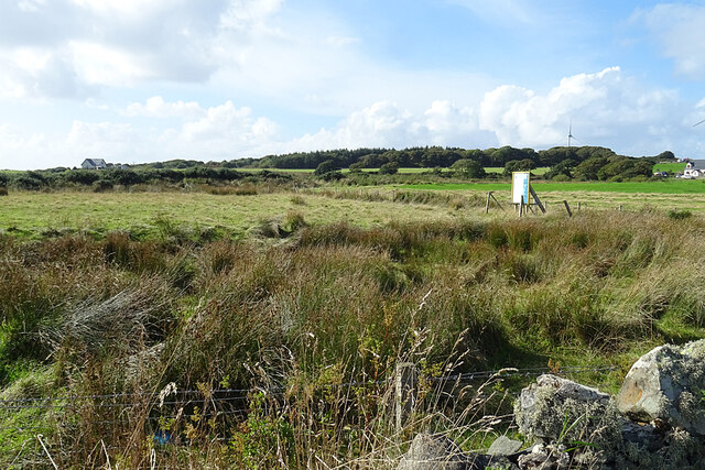
Sgeir Mhòr is a prominent coastal feature located in Argyllshire, Scotland. It is a headland or point that juts out into the surrounding body of water. With an approximate size of 1.5 hectares, Sgeir Mhòr stands as a significant and distinctive landmark in the region.

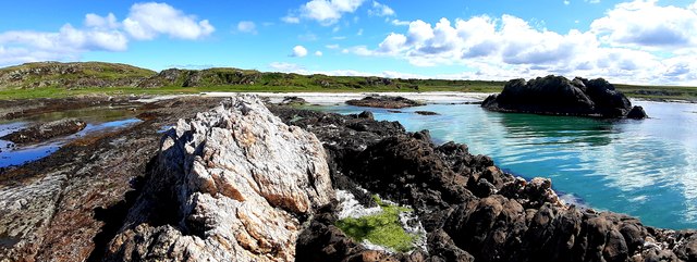
This headland is characterized by its rugged and rocky terrain. The coastline is lined with jagged cliffs and steep slopes, giving it a striking and dramatic appearance. Sgeir Mhòr is primarily composed of granite, which adds to its durability and resilience against the powerful forces of the sea.

The location of Sgeir Mhòr offers breathtaking panoramic views of the surrounding area. From its elevated position, one can admire the vast expanse of the ocean, the nearby islands, and the picturesque coastline. The headland also provides a vantage point for observing marine wildlife, such as seabirds, seals, and occasionally dolphins or whales.

Due to its exposed nature, Sgeir Mhòr can be subject to strong waves and currents. This makes it a popular spot for experienced surfers and other water sports enthusiasts seeking a thrilling challenge. However, caution is advised, as the sea conditions can be unpredictable and hazardous.

Sgeir Mhòr serves as an important landmark for navigation in the area. Its distinctive shape and position help guide ships and boats safely along the coast. It is also a site of interest for geologists and nature enthusiasts, offering a glimpse into the geological history and ecological diversity of the region.

If you have any feedback on the listing, please let us know in the comments section below.

Sgeir Mhòr Images

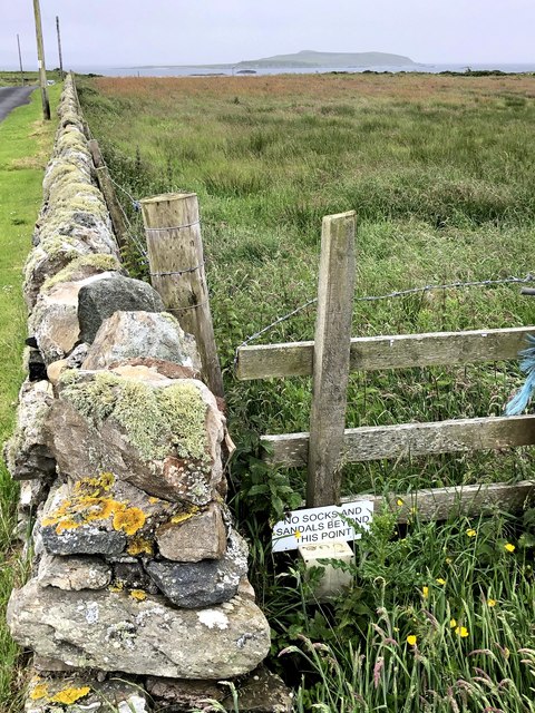
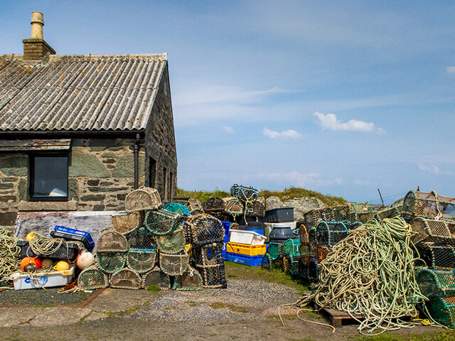
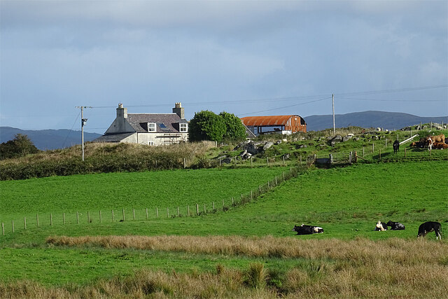
Images are sourced within 2km of 55.648046/-5.7492084 or Grid Reference NR6445. Thanks to Geograph Open Source API. All images are credited.
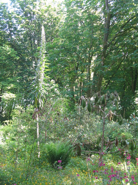
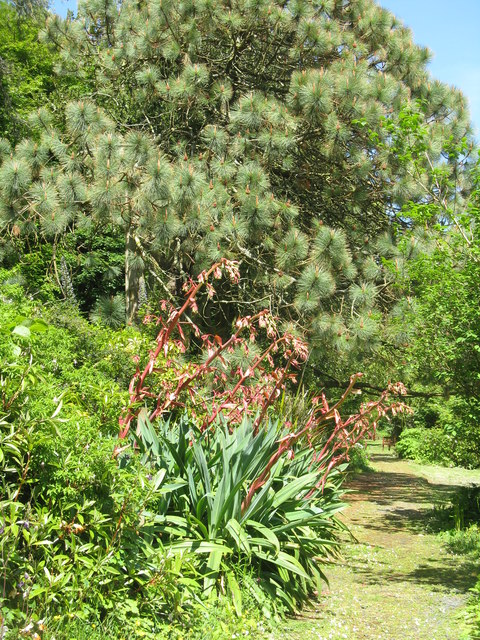
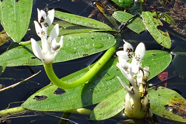
Gunnera and Primula at Achamore Gardens The gardens are  a highlight of the Island of Gigha - plenty of rambling paths and a delightful informality.
Gunnera and Primula at Achamore Gardens
The gardens are a highlight of the Island of Gigha - plenty of rambling paths and a delightful informality.
The pond at Achamore Marginal primulas and irises, with emergent Potamogeton flowers, and lilies on the far side.
The pond at Achamore
Marginal primulas and irises, with emergent Potamogeton flowers, and lilies on the far side.
Emergent flowers on the pond at Achamore Gardens I'm not sure what they are; possibly a water lily of some sort - I thought at first Potamogeton flowers, from the plant with floating leaves, but I now think not.
Emergent flowers on the pond at Achamore Gardens
I'm not sure what they are; possibly a water lily of some sort - I thought at first Potamogeton flowers, from the plant with floating leaves, but I now think not.
Pond-edge plants at Achamore Garden Primula [pink] and Libertia [white flowers, of the Iris family], with a carved Otter by the pond.
Pond-edge plants at Achamore Garden
Primula [pink] and Libertia [white flowers, of the Iris family], with a carved Otter by the pond.
Giant Viper's Bugloss at Achamore An impressive plant that grows up to 4m high, with spikes of blue flowers. Echium pininana is native to La Palma in the Canary Islands.
Giant Viper's Bugloss at Achamore
An impressive plant that grows up to 4m high, with spikes of blue flowers. Echium pininana is native to La Palma in the Canary Islands.
Path in Achamore Gardens With a fine Pine tree and an Agave/Aloe type plant.
Path in Achamore Gardens
With a fine Pine tree and an Agave/Aloe type plant.
Pier at the southern end of the road on the Isle of Gigha The small Gigalum Island can be seen beyond the end of the pier with the Kintyre Peninsula behind Gigalum.
Pier at the southern end of the road on the Isle of Gigha
The small Gigalum Island can be seen beyond the end of the pier with the Kintyre Peninsula behind Gigalum.
View from the South Pier, Gigha The shallow bays of the southern part of Gigha fringed by white sand beaches.
View from the South Pier, Gigha
The shallow bays of the southern part of Gigha fringed by white sand beaches.
Grob Bagh Beach, Isle of Gigha Quartz outcrop on Grob Bagh Beach, Isle of Gigha
Grob Bagh Beach, Isle of Gigha
Quartz outcrop on Grob Bagh Beach, Isle of Gigha
Wall bordering road and field, Isle of Gigha Taken at the South of the Isle of Gigha, Cara Island visible in the far distance.
Wall bordering road and field, Isle of Gigha
Taken at the South of the Isle of Gigha, Cara Island visible in the far distance.
Fishing creels and other paraphernalia At the head of the pier.
Fishing creels and other paraphernalia
At the head of the pier.
Mystery Plant The leaves look like a Pondweed (Potamogeton) but I don't recognise the flowers at all.
Mystery Plant
The leaves look like a Pondweed (Potamogeton) but I don't recognise the flowers at all.
South Druimachro The farm stands on a ridge above its fields.
South Druimachro
The farm stands on a ridge above its fields.
Port na Carraigh A small sandy beach at the south end of the road on the Isle of Gigha.
Port na Carraigh
A small sandy beach at the south end of the road on the Isle of Gigha.
Rocky Shore The shore east of Port na Carraigh. In the distance is the island of Cara.
Rocky Shore
The shore east of Port na Carraigh. In the distance is the island of Cara.
Building Work Work in progress near Tigh Creagach.
Building Work
Work in progress near Tigh Creagach.
Pier at Port Meadhonach Various fishing gear stored at the pierhead building.
Pier at Port Meadhonach
Various fishing gear stored at the pierhead building.
Landing Strip With binoculars, we could see that the notice board gives information about the airstrip shown on the map, but we could not read the information, and there seems to be no access to it.
Landing Strip
With binoculars, we could see that the notice board gives information about the airstrip shown on the map, but we could not read the information, and there seems to be no access to it.
Show me another place!

Sgeir Mhòr is located at Grid Ref: NR6445 (Lat: 55.648046, Lng: -5.7492084)

Unitary Authority: Argyll and Bute

Police Authority: Argyll and West Dunbartonshire

What 3 Words

///masts.striving.cactus. Near Craighouse, Argyll & Bute

Related Wikis

Ardminish

Ardminish (Scottish Gaelic: Aird Mhèanais) is the sole village on the Isle of Gigha in the Inner Hebrides, in Argyll and Bute, Scotland, and considered...

St Fionnlagh's Chapel

St Fionnlagh's Chapel (St Finla's Chapel) is a ruined medieval chapel on Cara Island, Argyll and Bute, Scotland. First recorded in the 15th century, the...

Cara Island

Cara Island (Scottish Gaelic: Cara) is a small island which is located off the west coast of Kintyre in Scotland. == Geography and etymology == Cara is...

Achamore House

Achamore House is a mansion on the Isle of Gigha, Scotland. It was built in 1884 for Lt-Col William James Scarlett, and the extensive gardens were laid...

Nearby Amenities

Located within 500m of 55.648046,-5.7492084
Created By: dmgroom_coastlines
Lat/Long: 55.651935/-5.752394
Created By: dmgroom_coastlines
Lat/Long: 55.651786/-5.75329
Created By: dmgroom_coastlines
Lat/Long: 55.651654/-5.753508
Created By: dmgroom_coastlines
Lat/Long: 55.651398/-5.75349
Created By: dmgroom_coastlines
Lat/Long: 55.651152/-5.75302
Created By: dmgroom_coastlines
Lat/Long: 55.650641/-5.752984
Created By: dmgroom_coastlines
Lat/Long: 55.650507/-5.7532
Created By: dmgroom_coastlines
Lat/Long: 55.650375/-5.753418
Created By: dmgroom_coastlines
Lat/Long: 55.650241/-5.753634
Created By: dmgroom_coastlines
Lat/Long: 55.650109/-5.753852
Created By: dmgroom_coastlines
Lat/Long: 55.649081/-5.754006
Created By: dmgroom_coastlines
Lat/Long: 55.64906/-5.754911
Created By: dmgroom_coastlines
Lat/Long: 55.64881/-5.754667
Created By: dmgroom_coastlines
Lat/Long: 55.648298/-5.754631
Created By: dmgroom_coastlines
Lat/Long: 55.648165/-5.754848
Created By: dmgroom_coastlines
Lat/Long: 55.648032/-5.755066
The data included in this document is from www.openstreetmap.org. The data is made available under ODbL.

Have you been to Sgeir Mhòr?

Leave your review of Sgeir Mhòr below (or comments, questions and feedback).