Sgeir nan Sgarbh

Island in Argyllshire

Scotland

Sgeir nan Sgarbh

Pier at the southern end of the road on the Isle of Gigha The small Gigalum Island can be seen beyond the end of the pier with the Kintyre Peninsula behind Gigalum.
Pier at the southern end of the road on the Isle of Gigha Credit: G Laird

Sgeir nan Sgarbh is a small uninhabited island located off the coast of Argyllshire, Scotland. Situated in the Inner Hebrides, this island lies approximately 3 kilometers northwest of the Isle of Mull. Sgeir nan Sgarbh translates to "rock of the cormorants" in Scottish Gaelic, indicating the abundance of these seabirds in the area.

The island is relatively small, covering an area of around 0.2 hectares, and is predominantly composed of rugged, rocky terrain. It is known for its striking cliffs that rise steeply from the surrounding sea, providing a nesting site for various seabird species.

Due to its remote location and challenging access, Sgeir nan Sgarbh is not typically visited by tourists. However, it is occasionally frequented by birdwatchers and nature enthusiasts who are drawn to its rich avian population. In addition to cormorants, other bird species that can be spotted on the island include guillemots, razorbills, and gulls.

The surrounding waters of Sgeir nan Sgarbh are known for their diverse marine life, providing a habitat for seals, dolphins, and whales. The island's isolation also contributes to its ecological significance, as it serves as a sanctuary for nesting birds and other wildlife.

Overall, Sgeir nan Sgarbh offers a unique opportunity to observe and appreciate the natural beauty and biodiversity of Scotland's coastal environment.

If you have any feedback on the listing, please let us know in the comments section below.

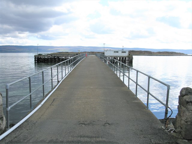
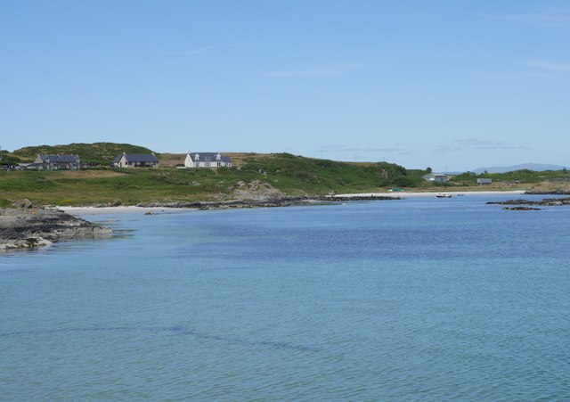
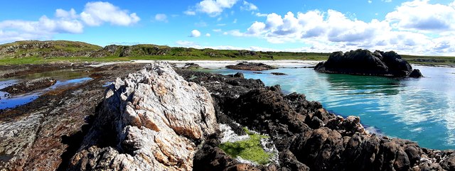
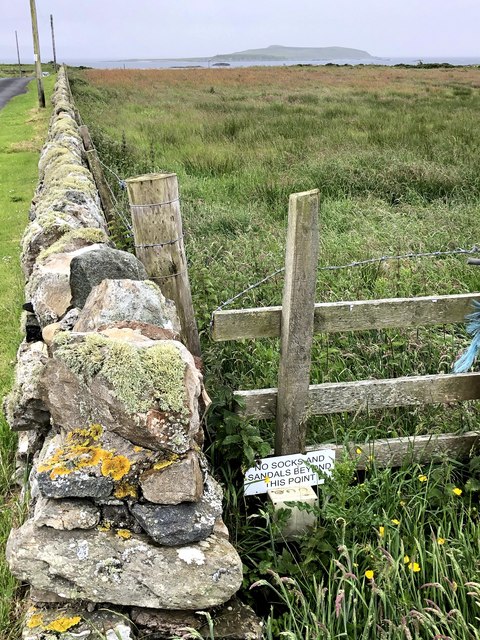
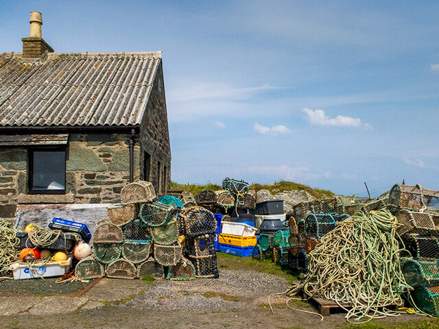
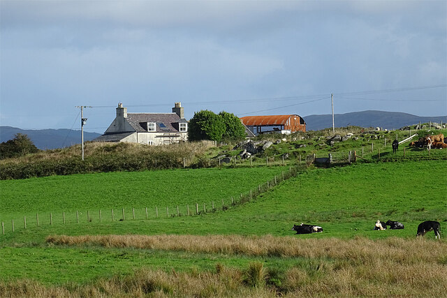
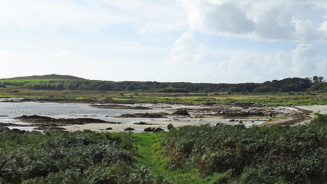
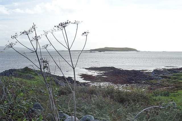
Sgeir nan Sgarbh Images

Images are sourced within 2km of 55.646397/-5.7498935 or Grid Reference NR6445. Thanks to Geograph Open Source API. All images are credited.

Pier at the southern end of the road on the Isle of Gigha The small Gigalum Island can be seen beyond the end of the pier with the Kintyre Peninsula behind Gigalum.
Pier at the southern end of the road on the Isle of Gigha
The small Gigalum Island can be seen beyond the end of the pier with the Kintyre Peninsula behind Gigalum.
View from the South Pier, Gigha The shallow bays of the southern part of Gigha fringed by white sand beaches.
View from the South Pier, Gigha
The shallow bays of the southern part of Gigha fringed by white sand beaches.
Grob Bagh Beach, Isle of Gigha Quartz outcrop on Grob Bagh Beach, Isle of Gigha
Grob Bagh Beach, Isle of Gigha
Quartz outcrop on Grob Bagh Beach, Isle of Gigha
Wall bordering road and field, Isle of Gigha Taken at the South of the Isle of Gigha, Cara Island visible in the far distance.
Wall bordering road and field, Isle of Gigha
Taken at the South of the Isle of Gigha, Cara Island visible in the far distance.
Fishing creels and other paraphernalia At the head of the pier.
Fishing creels and other paraphernalia
At the head of the pier.
South Druimachro The farm stands on a ridge above its fields.
South Druimachro
The farm stands on a ridge above its fields.
Port na Carraigh A small sandy beach at the south end of the road on the Isle of Gigha.
Port na Carraigh
A small sandy beach at the south end of the road on the Isle of Gigha.
Rocky Shore The shore east of Port na Carraigh. In the distance is the island of Cara.
Rocky Shore
The shore east of Port na Carraigh. In the distance is the island of Cara.
Building Work Work in progress near Tigh Creagach.
Building Work
Work in progress near Tigh Creagach.
Pier at Port Meadhonach Various fishing gear stored at the pierhead building.
Pier at Port Meadhonach
Various fishing gear stored at the pierhead building.
Landing Strip With binoculars, we could see that the notice board gives information about the airstrip shown on the map, but we could not read the information, and there seems to be no access to it.
Landing Strip
With binoculars, we could see that the notice board gives information about the airstrip shown on the map, but we could not read the information, and there seems to be no access to it.
West Drumachro A new house seems to have replaced the older one shown on the maps. Beyond it are two of Gigha's wind turbines.
West Drumachro
A new house seems to have replaced the older one shown on the maps. Beyond it are two of Gigha's wind turbines.
Achamore House Lodge Dating from 1895, it is a Category B Listed building.
Achamore House Lodge
Dating from 1895, it is a Category B Listed building.
Pier at Port Meadhonach According to the notice the Caledonian MacBrayne ferry overnights here, there being no facility to moor or tie it up alongside a quay at the slipway.
Pier at Port Meadhonach
According to the notice the Caledonian MacBrayne ferry overnights here, there being no facility to moor or tie it up alongside a quay at the slipway.
Ganway at South Pier Presumably the means for the crew to disembark when the ferry is moored here overnight. In the background is the island of Cara.
Ganway at South Pier
Presumably the means for the crew to disembark when the ferry is moored here overnight. In the background is the island of Cara.
South Pier Looking towards the land from the end of the pier.
South Pier
Looking towards the land from the end of the pier.
Running repairs Inspecting what appears to be a rotary cutter in a field being cut for hay or silage.
Running repairs
Inspecting what appears to be a rotary cutter in a field being cut for hay or silage.
Windfarm information Electronic information board by the three wind turbines on Gigha. There is a continuous readout of wind speed, direction, power generation etc. The use of these second hand turbines appears a sensible one for an island community, so much better than covering vast areas of the Highlands in unsightly and uneconomic windfarms.
Windfarm information
Electronic information board by the three wind turbines on Gigha. There is a continuous readout of wind speed, direction, power generation etc. The use of these second hand turbines appears a sensible one for an island community, so much better than covering vast areas of the Highlands in unsightly and uneconomic windfarms.
Show me another place!

Sgeir nan Sgarbh is located at Grid Ref: NR6445 (Lat: 55.646397, Lng: -5.7498935)

Unitary Authority: Argyll and Bute

Police Authority: Argyll and West Dunbartonshire

What 3 Words

///mashing.shuttled.cabbages. Near Craighouse, Argyll & Bute

Related Wikis

St Fionnlagh's Chapel

St Fionnlagh's Chapel (St Finla's Chapel) is a ruined medieval chapel on Cara Island, Argyll and Bute, Scotland. First recorded in the 15th century, the...

Cara Island

Cara Island (Scottish Gaelic: Cara) is a small island which is located off the west coast of Kintyre in Scotland. == Geography and etymology == Cara is...

Ardminish

Ardminish (Scottish Gaelic: Aird Mhèanais) is the sole village on the Isle of Gigha in the Inner Hebrides, in Argyll and Bute, Scotland, and considered...

Achamore House

Achamore House is a mansion on the Isle of Gigha, Scotland. It was built in 1884 for Lt-Col William James Scarlett, and the extensive gardens were laid...

Nearby Amenities

Located within 500m of 55.646397,-5.7498935
Created By: dmgroom_coastlines
Lat/Long: 55.650375/-5.753418
Created By: dmgroom_coastlines
Lat/Long: 55.650241/-5.753634
Created By: dmgroom_coastlines
Lat/Long: 55.650109/-5.753852
Created By: dmgroom_coastlines
Lat/Long: 55.649081/-5.754006
Created By: dmgroom_coastlines
Lat/Long: 55.64906/-5.754911
Created By: dmgroom_coastlines
Lat/Long: 55.64881/-5.754667
Created By: dmgroom_coastlines
Lat/Long: 55.648298/-5.754631
Created By: dmgroom_coastlines
Lat/Long: 55.648165/-5.754848
Created By: dmgroom_coastlines
Lat/Long: 55.648032/-5.755066
The data included in this document is from www.openstreetmap.org. The data is made available under ODbL.

Have you been to Sgeir nan Sgarbh?

Leave your review of Sgeir nan Sgarbh below (or comments, questions and feedback).