Eilean Thuilm
Island in Ross-shire
Scotland
Eilean Thuilm
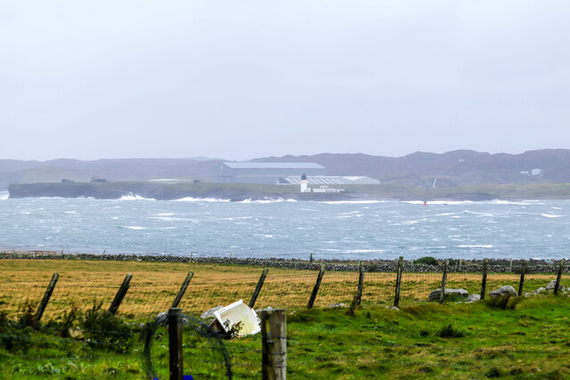
Eilean Thuilm is a small island located off the west coast of Scotland, in the county of Ross-shire. With an area of approximately 21 acres, the island is situated in Loch nan Uamh, near the village of Arisaig. Eilean Thuilm is known for its picturesque landscape and rich history.
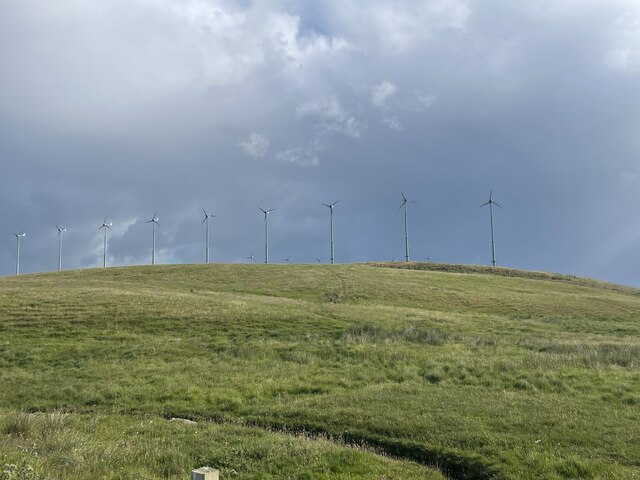
The island is predominantly rocky, with a few areas of grassy terrain. It is surrounded by clear, turquoise waters that provide stunning views of the surrounding mountains and the nearby mainland. Eilean Thuilm is home to a variety of plant and animal species, including wildflowers, seabirds, and seals.
Historically, Eilean Thuilm has been inhabited since ancient times. Archaeological remains suggest that the island was once a site of human activity, possibly dating back to the Bronze Age. In more recent history, the island was used as a defensive position during various conflicts, including the Jacobite Risings.
Nowadays, Eilean Thuilm is a popular destination for visitors seeking tranquility and natural beauty. The island can be accessed by boat, and there are a few paths for exploration on foot. It offers opportunities for birdwatching, photography, and simply enjoying the peaceful surroundings.
Overall, Eilean Thuilm is a charming and historically significant island in Ross-shire, Scotland. Its stunning landscape and rich heritage make it a worthwhile destination for nature lovers and history enthusiasts alike.
If you have any feedback on the listing, please let us know in the comments section below.
Eilean Thuilm Images
Images are sourced within 2km of 58.188201/-6.3418344 or Grid Reference NB4430. Thanks to Geograph Open Source API. All images are credited.


Eilean Thuilm is located at Grid Ref: NB4430 (Lat: 58.188201, Lng: -6.3418344)
Unitary Authority: Na h-Eileanan an Iar
Police Authority: Highlands and Islands
What 3 Words
///smile.unwell.engulfing. Near Stornoway, Na h-Eileanan Siar
Nearby Locations
Related Wikis

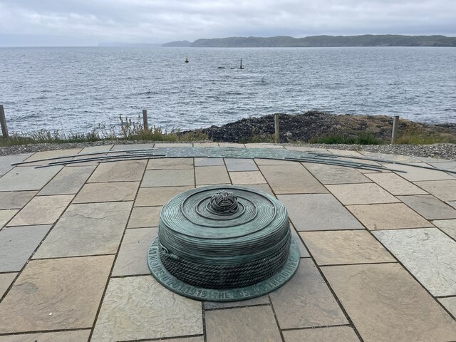
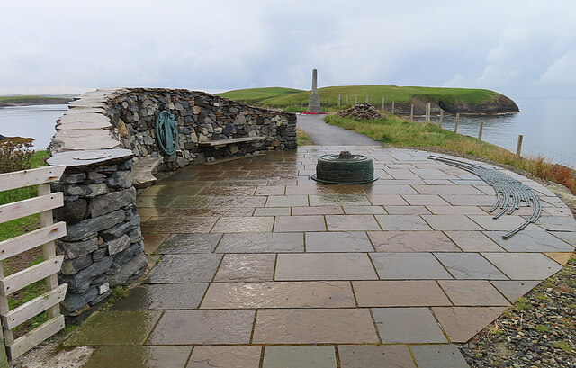
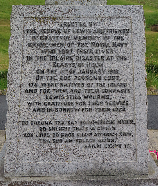
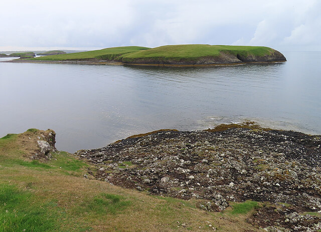
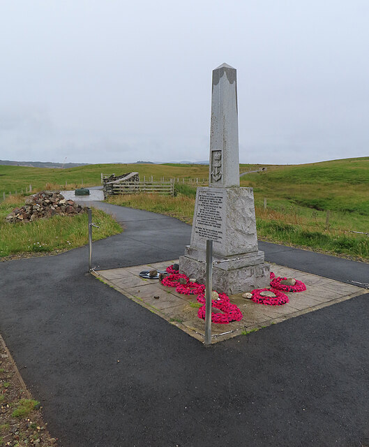
HMY Iolaire
HMY Iolaire was an Admiralty Yacht that sank at the entrance to Stornoway harbour on 1 January 1919, with the loss of at least 201 men out of the 283 on...

Holm, Lewis
Holm Village (Scottish Gaelic: Tolm) is a village in the Scottish Outer Hebrides, on the Isle of Lewis near Stornoway. The modern area of Holm can be split...
Parkend, Lewis
Parkend (Scottish Gaelic: Ceann nam Buailtean) is a hamlet in the Sandwick region of the Isle of Lewis, although like Melbost, it is not a part of the...

Sandwick, Lewis
Sandwick (Scottish Gaelic: Sanndabhaig, IPA:[ˈs̪aun̴̪t̪əvɪkʲ]) is a village in the Scottish Outer Hebrides, on the Isle of Lewis and a quasi-suburb of...
Nearby Amenities
Located within 500m of 58.188201,-6.3418344Have you been to Eilean Thuilm?
Leave your review of Eilean Thuilm below (or comments, questions and feedback).