Geodha Dubh
Coastal Feature, Headland, Point in Ross-shire
Scotland
Geodha Dubh
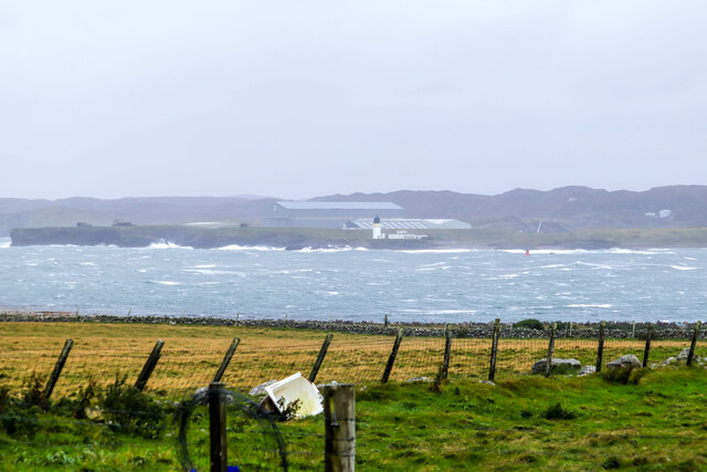
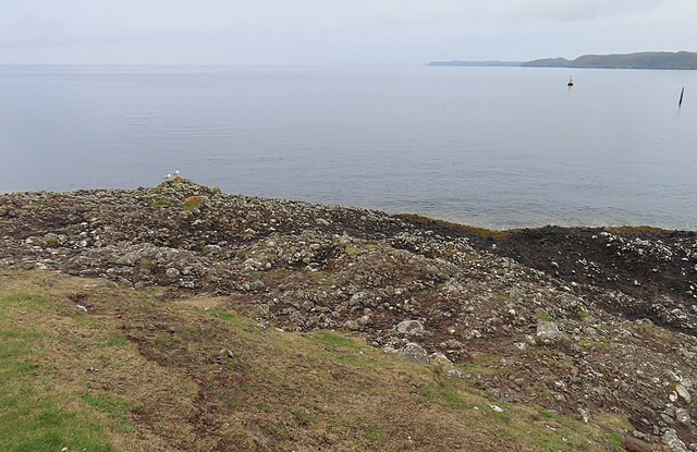
Geodha Dubh is a captivating coastal feature located in Ross-shire, Scotland. This stunning headland, often referred to as a point, is a prominent landmark that attracts visitors from near and far. The name "Geodha Dubh" translates to "black cove" in Gaelic, which accurately describes the distinctive dark rocks that line the shore.
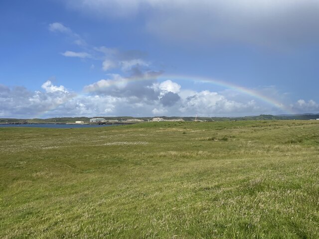
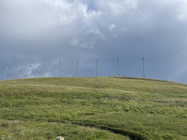
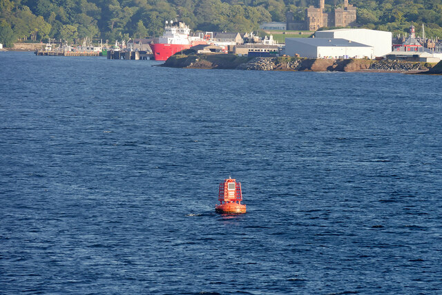
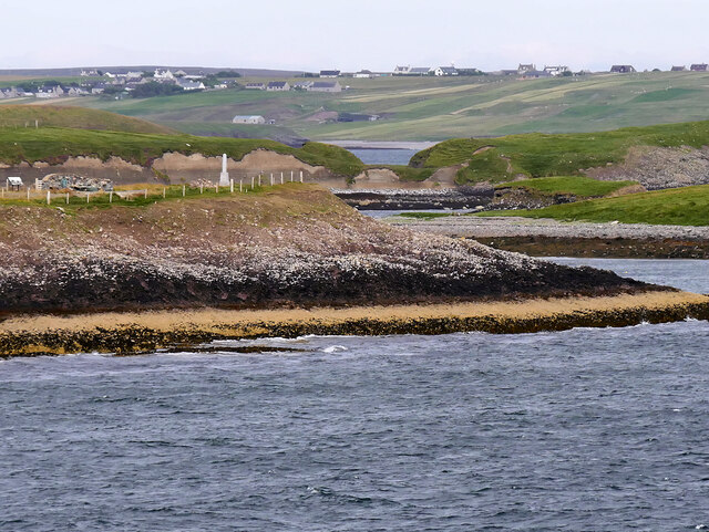
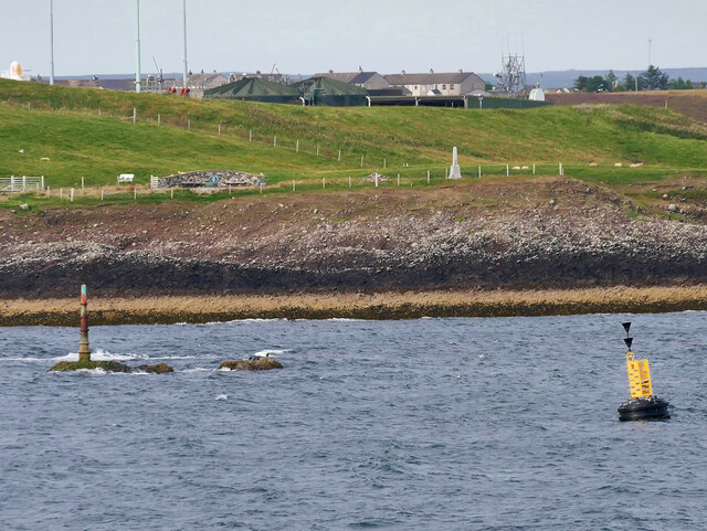
Situated along the breathtaking coastline, Geodha Dubh offers panoramic views of the North Sea. The dramatic cliffs and rugged terrain make this headland a paradise for nature enthusiasts and photographers. The headland is characterized by its towering cliffs, which reach heights of up to 100 meters, creating an awe-inspiring sight.
Geodha Dubh is home to a diverse range of wildlife. Seabirds such as puffins, gannets, and razorbills can often be spotted nesting on the cliffs, adding to the area's natural beauty. The clear waters surrounding the headland are teeming with marine life, making it popular among divers and snorkelers.
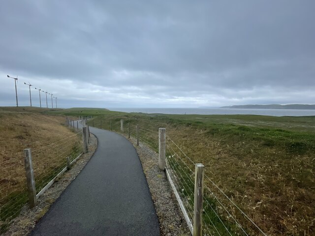
Access to Geodha Dubh is relatively easy, with a well-maintained footpath leading to the headland. This path also offers access to several secluded beaches and hidden coves, providing opportunities for peaceful walks and picnics.
The coastal feature is rich in history and folklore, with tales of shipwrecks and smugglers adding to its intrigue. Visitors can explore the remnants of old fishing huts and enjoy the sense of history that permeates the area.
In conclusion, Geodha Dubh is a captivating headland that offers stunning views, diverse wildlife, and a touch of history. Whether you are a nature lover, history enthusiast, or simply seeking tranquility, Geodha Dubh is a must-visit destination in Ross-shire.
If you have any feedback on the listing, please let us know in the comments section below.
Geodha Dubh Images
Images are sourced within 2km of 58.188127/-6.3426938 or Grid Reference NB4430. Thanks to Geograph Open Source API. All images are credited.


Geodha Dubh is located at Grid Ref: NB4430 (Lat: 58.188127, Lng: -6.3426938)
Unitary Authority: Na h-Eileanan an Iar
Police Authority: Highlands and Islands
What 3 Words
///surfed.critic.efficient. Near Stornoway, Na h-Eileanan Siar
Nearby Locations
Related Wikis

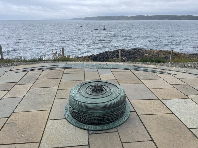
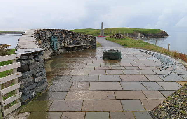
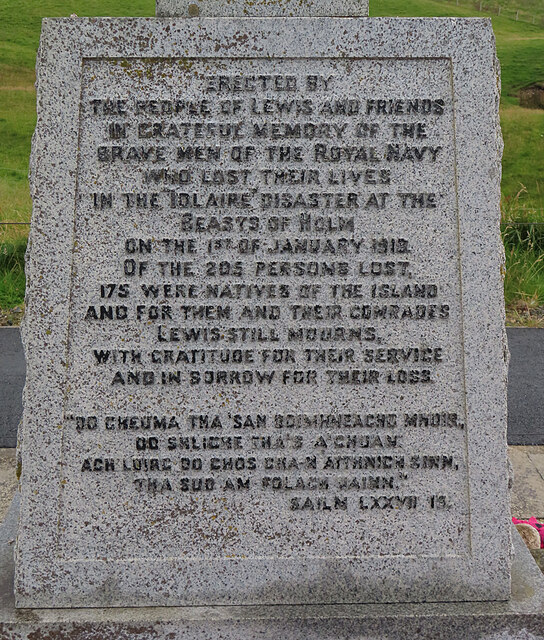
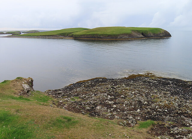
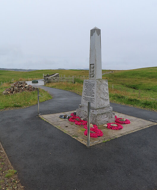
HMY Iolaire
HMY Iolaire was an Admiralty Yacht that sank at the entrance to Stornoway harbour on 1 January 1919, with the loss of at least 201 men out of the 283 on...

Holm, Lewis
Holm Village (Scottish Gaelic: Tolm) is a village in the Scottish Outer Hebrides, on the Isle of Lewis near Stornoway. The modern area of Holm can be split...
Parkend, Lewis
Parkend (Scottish Gaelic: Ceann nam Buailtean) is a hamlet in the Sandwick region of the Isle of Lewis, although like Melbost, it is not a part of the...

Sandwick, Lewis
Sandwick (Scottish Gaelic: Sanndabhaig, IPA:[ˈs̪aun̴̪t̪əvɪkʲ]) is a village in the Scottish Outer Hebrides, on the Isle of Lewis and a quasi-suburb of...

Stornoway power station
Stornoway power station, also known as Battery Point Power Station, is an electrical generation facility in Stornoway, Scotland. It was commissioned in...

Branahuie
Branahuie (Scottish Gaelic: Bràigh na h-Aoidhe) is a village on the Isle of Lewis in the Outer Hebrides, Scotland. Branahuie is within the parish of Stornoway...
Plasterfield
Plasterfield (Scottish Gaelic: Raon na Crèadha) is a hamlet in the Scottish Outer Hebrides, on the Isle of Lewis. Plasterfield is within the parish of...
Melbost
Melbost (Scottish Gaelic: Mealabost) is a traditionally Gaelic-speaking village in Point on the east coast of the Isle of Lewis, in Scotland's north-west...
Nearby Amenities
Located within 500m of 58.188127,-6.3426938Have you been to Geodha Dubh?
Leave your review of Geodha Dubh below (or comments, questions and feedback).