Biastan Thuilm
Coastal Feature, Headland, Point in Ross-shire
Scotland
Biastan Thuilm
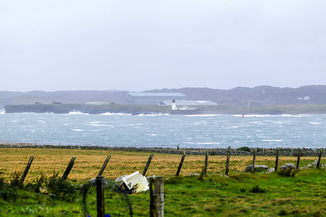
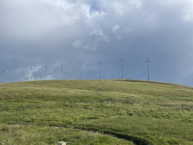
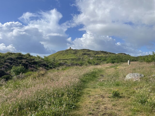
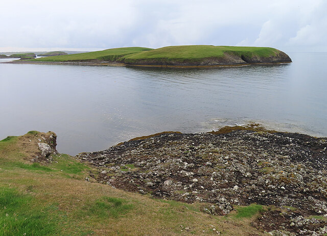
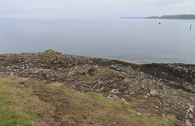
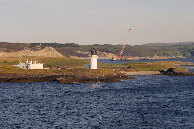
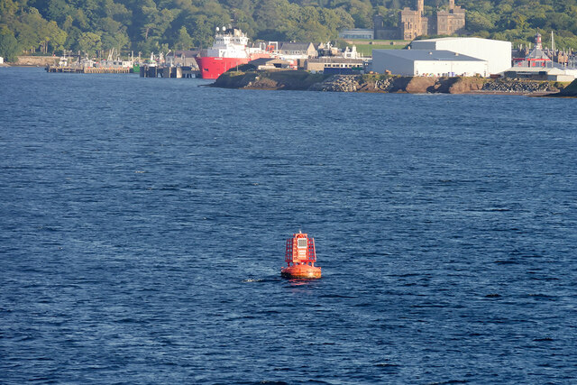
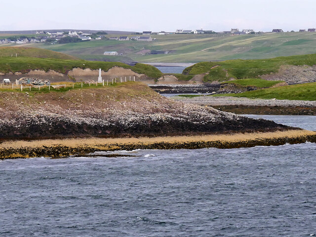
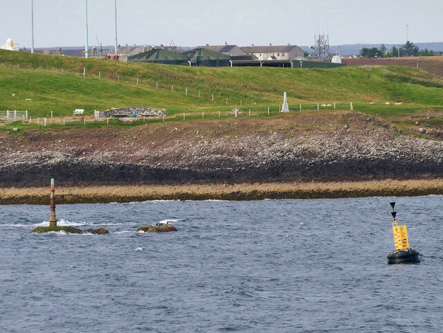
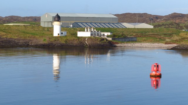
Biastan Thuilm is a prominent coastal feature located in Ross-shire, Scotland. It is a headland that juts out into the sea, forming a point that offers stunning views of the surrounding area. The headland is situated on the western coast of Ross-shire, overlooking the North Atlantic Ocean.
Biastan Thuilm is characterized by its rugged and rocky terrain, with steep cliffs that drop down into the crashing waves below. The headland is made up of a variety of rock types, including sandstone and granite, which have been shaped over time by the relentless action of the sea.
The area surrounding Biastan Thuilm is known for its diverse and rich marine life. The headland provides an important breeding ground for various seabirds, including gannets, fulmars, and kittiwakes. It is also a popular spot for birdwatchers and nature enthusiasts, who come to observe the unique species that call this area home.
In addition to its natural beauty, Biastan Thuilm also holds historical and cultural significance. The headland is said to have been inhabited since ancient times, with archaeological evidence suggesting human activity dating back thousands of years. Ruins of old settlements and structures can be found on the headland and its surrounding areas, offering a glimpse into the region's rich history.
Overall, Biastan Thuilm is a picturesque and captivating coastal feature in Ross-shire, offering both natural beauty and historical intrigue to visitors and locals alike.
If you have any feedback on the listing, please let us know in the comments section below.
Biastan Thuilm Images
Images are sourced within 2km of 58.187486/-6.3503974 or Grid Reference NB4430. Thanks to Geograph Open Source API. All images are credited.
Biastan Thuilm is located at Grid Ref: NB4430 (Lat: 58.187486, Lng: -6.3503974)
Unitary Authority: Na h-Eileanan an Iar
Police Authority: Highlands and Islands
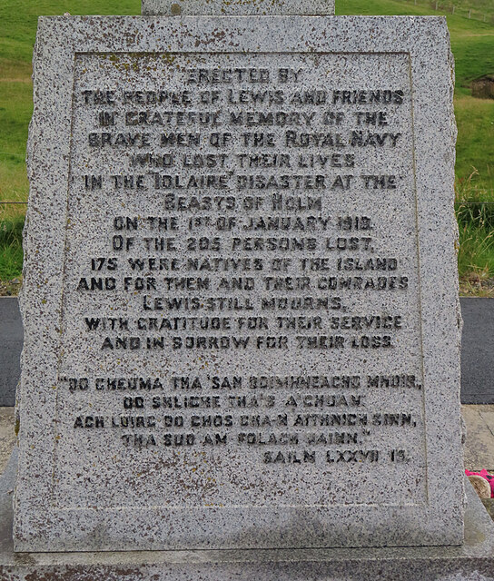
Also known as: Beasts of Holm
What 3 Words
///cabbage.canines.dupe. Near Stornoway, Na h-Eileanan Siar
Nearby Locations
Related Wikis

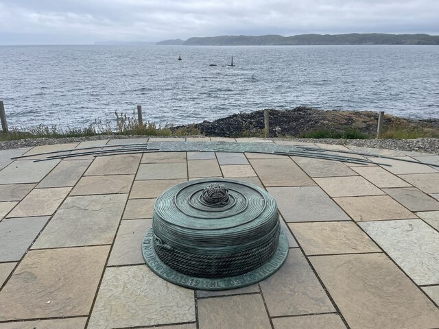
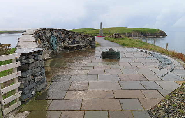
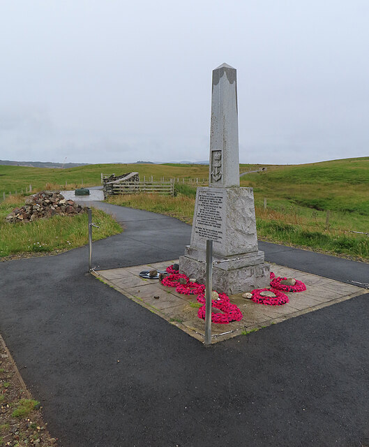
HMY Iolaire
HMY Iolaire was an Admiralty Yacht that sank at the entrance to Stornoway harbour on 1 January 1919, with the loss of at least 201 men out of the 283 on...

Holm, Lewis
Holm Village (Scottish Gaelic: Tolm) is a village in the Scottish Outer Hebrides, on the Isle of Lewis near Stornoway. The modern area of Holm can be split...
Parkend, Lewis
Parkend (Scottish Gaelic: Ceann nam Buailtean) is a hamlet in the Sandwick region of the Isle of Lewis, although like Melbost, it is not a part of the...

Sandwick, Lewis
Sandwick (Scottish Gaelic: Sanndabhaig, IPA:[ˈs̪aun̴̪t̪əvɪkʲ]) is a village in the Scottish Outer Hebrides, on the Isle of Lewis and a quasi-suburb of...

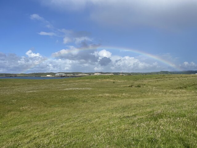
Stornoway power station
Stornoway power station, also known as Battery Point Power Station, is an electrical generation facility in Stornoway, Scotland. It was commissioned in...
Plasterfield
Plasterfield (Scottish Gaelic: Raon na Crèadha) is a hamlet in the Scottish Outer Hebrides, on the Isle of Lewis. Plasterfield is within the parish of...

Isles FM
Isles FM is a local radio station operating from Stornoway in the Outer Hebrides, Scotland. The station is operated entirely by a volunteer staff, from...
Nicolson Institute
The Nicolson Institute (Gaelic: Àrd-sgoil MhicNeacail) in Stornoway, is the largest school in the Western Isles, Scotland. The Nicolson is the only six...
Nearby Amenities
Located within 500m of 58.187486,-6.3503974Have you been to Biastan Thuilm?
Leave your review of Biastan Thuilm below (or comments, questions and feedback).