Geodh'an Fheòir
Coastal Feature, Headland, Point in Ross-shire
Scotland
Geodh'an Fheòir
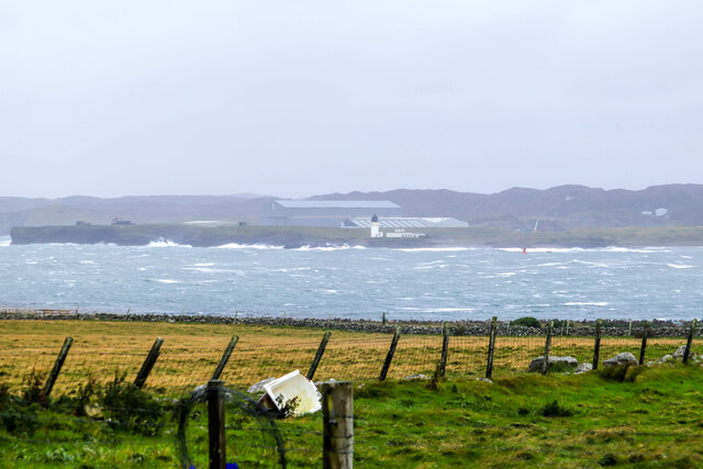
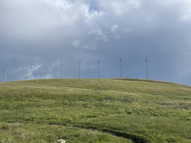
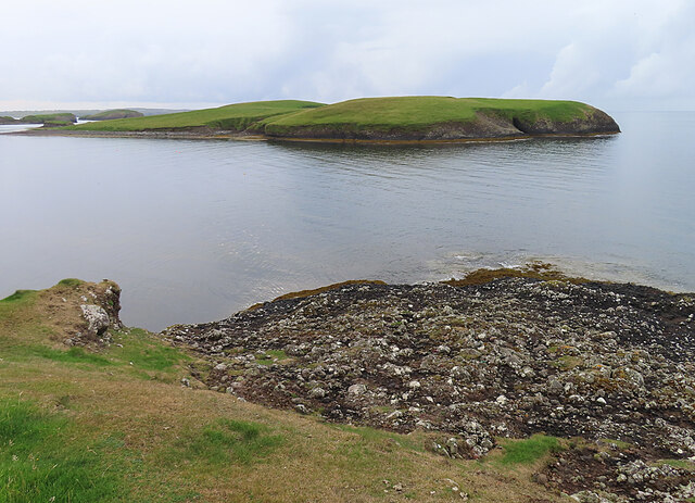
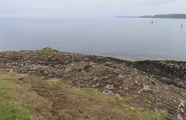
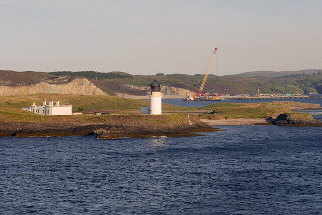
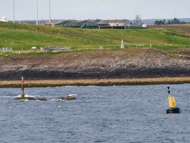
Geodh'an Fheòir is a stunning coastal feature located in Ross-shire, Scotland. It is a prominent headland that stretches out into the North Atlantic Ocean, offering breathtaking views of the surrounding landscape. This majestic point is known for its rugged cliffs, rocky outcrops, and picturesque scenery.
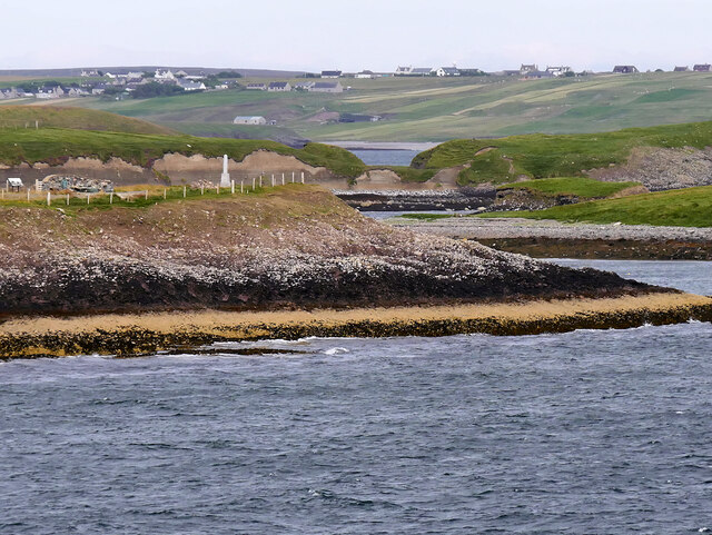
Situated on the western coast of Scotland, Geodh'an Fheòir is characterized by its dramatic coastline. The headland is formed by layers of ancient rock, which have been eroded by the crashing waves over centuries, creating a unique and captivating landscape. The area is also home to a diverse range of marine and birdlife, making it a haven for wildlife enthusiasts and nature lovers.
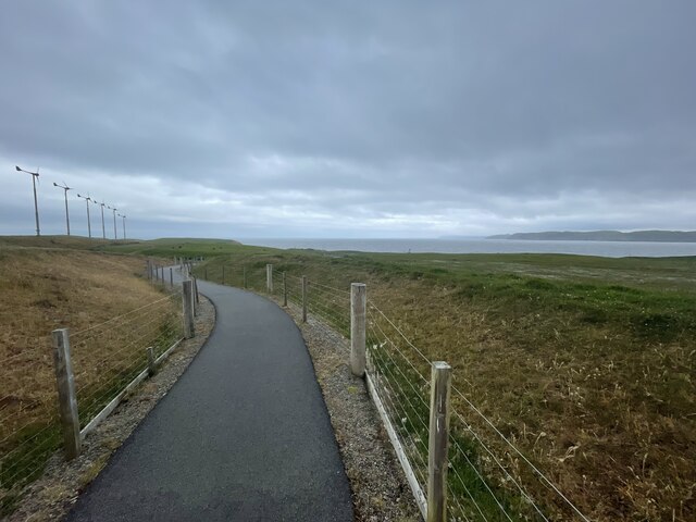
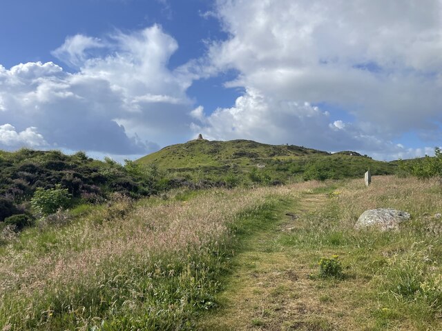
Visitors to Geodh'an Fheòir can enjoy exploring the headland on foot, taking in the fresh sea breeze and admiring the panoramic views. The coastal path offers opportunities for hiking and photography, allowing visitors to capture the beauty of the rugged cliffs and the vast expanse of the ocean.
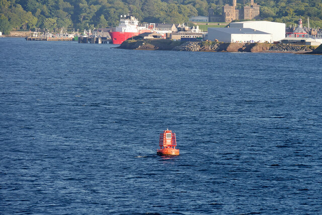
The location of Geodh'an Fheòir also makes it an ideal spot for various outdoor activities. The surrounding waters provide excellent opportunities for fishing, sailing, and even surfing for the more adventurous. Additionally, the nearby sandy beaches offer a tranquil setting for sunbathing and picnicking during the warmer months.
Geodh'an Fheòir is a true gem on the Scottish coastline, offering visitors a chance to immerse themselves in the beauty of nature. Whether it's the stunning cliffs, abundant wildlife, or the tranquility of the ocean, this headland is a must-visit destination for anyone seeking an unforgettable coastal experience.
If you have any feedback on the listing, please let us know in the comments section below.
Geodh'an Fheòir Images
Images are sourced within 2km of 58.193277/-6.3554322 or Grid Reference NB4430. Thanks to Geograph Open Source API. All images are credited.

Geodh'an Fheòir is located at Grid Ref: NB4430 (Lat: 58.193277, Lng: -6.3554322)
Unitary Authority: Na h-Eileanan an Iar
Police Authority: Highlands and Islands
What 3 Words
///retrain.thing.unafraid. Near Stornoway, Na h-Eileanan Siar
Nearby Locations
Related Wikis

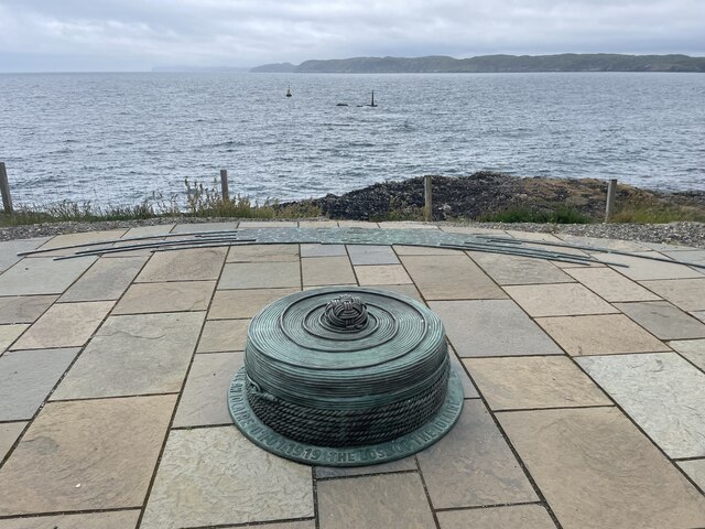
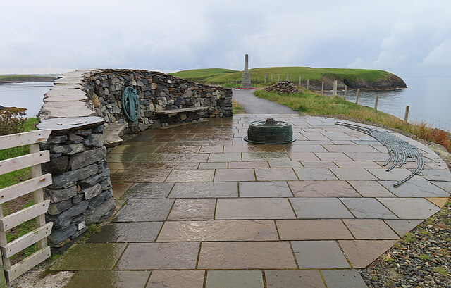
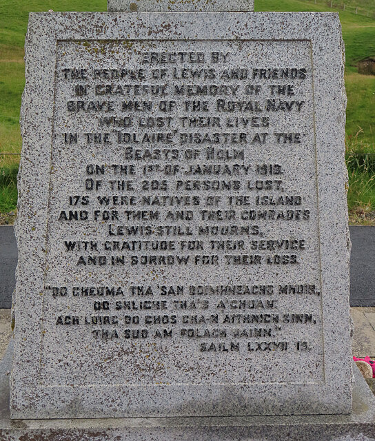
HMY Iolaire
HMY Iolaire was an Admiralty Yacht that sank at the entrance to Stornoway harbour on 1 January 1919, with the loss of at least 201 men out of the 283 on...
Parkend, Lewis
Parkend (Scottish Gaelic: Ceann nam Buailtean) is a hamlet in the Sandwick region of the Isle of Lewis, although like Melbost, it is not a part of the...

Sandwick, Lewis
Sandwick (Scottish Gaelic: Sanndabhaig, IPA:[ˈs̪aun̴̪t̪əvɪkʲ]) is a village in the Scottish Outer Hebrides, on the Isle of Lewis and a quasi-suburb of...

Holm, Lewis
Holm Village (Scottish Gaelic: Tolm) is a village in the Scottish Outer Hebrides, on the Isle of Lewis near Stornoway. The modern area of Holm can be split...

Stornoway power station
Stornoway power station, also known as Battery Point Power Station, is an electrical generation facility in Stornoway, Scotland. It was commissioned in...
Plasterfield
Plasterfield (Scottish Gaelic: Raon na Crèadha) is a hamlet in the Scottish Outer Hebrides, on the Isle of Lewis. Plasterfield is within the parish of...

Isles FM
Isles FM is a local radio station operating from Stornoway in the Outer Hebrides, Scotland. The station is operated entirely by a volunteer staff, from...
Nicolson Institute
The Nicolson Institute (Gaelic: Àrd-sgoil MhicNeacail) in Stornoway, is the largest school in the Western Isles, Scotland. The Nicolson is the only six...
Nearby Amenities
Located within 500m of 58.193277,-6.3554322Have you been to Geodh'an Fheòir?
Leave your review of Geodh'an Fheòir below (or comments, questions and feedback).