Cnoc nam Poll Ura
Hill, Mountain in Ross-shire
Scotland
Cnoc nam Poll Ura
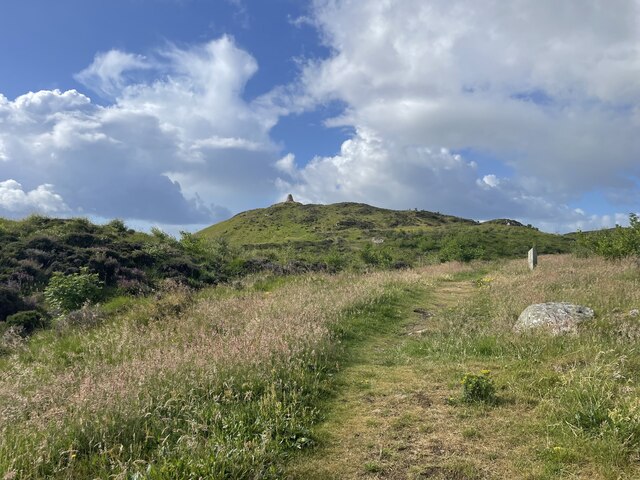
Cnoc nam Poll Ura, located in Ross-shire, Scotland, is a prominent hill or mountain that offers stunning views and outdoor recreational opportunities. Standing at an elevation of approximately 450 meters (1475 feet), it is a popular destination for nature enthusiasts, hikers, and climbers.
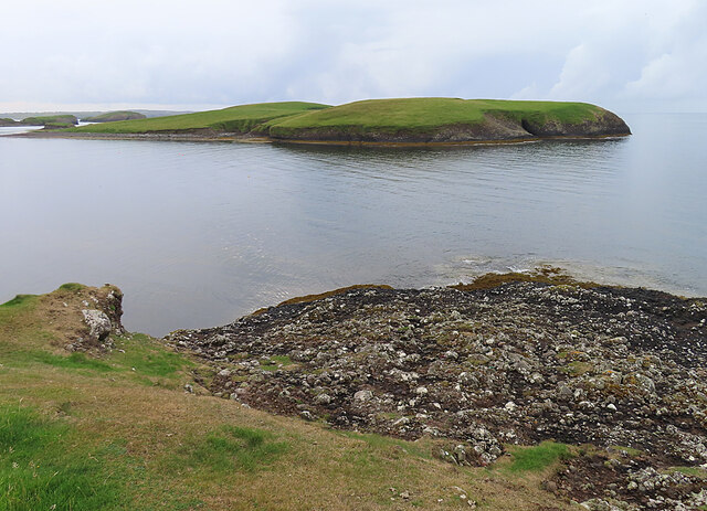
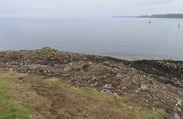
The hill is situated in a remote and picturesque area, surrounded by breathtaking landscapes and tranquil beauty. Its name, Cnoc nam Poll Ura, translates to "Hill of the White Pools" in Gaelic, which is derived from the numerous small pools scattered across its slopes.
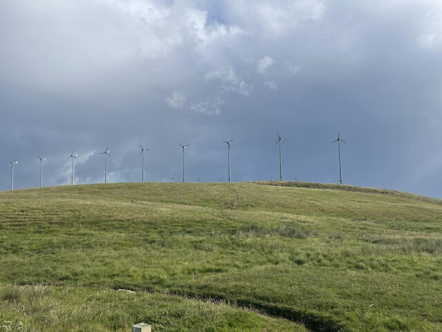
The terrain of Cnoc nam Poll Ura is characterized by a mix of grassy slopes, rocky crags, and heather-covered moorland. Its diverse flora and fauna make it an ideal habitat for a variety of wildlife species, including deer, eagles, and various bird species.
Hiking to the summit of Cnoc nam Poll Ura offers a rewarding experience, as it provides panoramic views of the surrounding countryside, including nearby lochs, rivers, and the rugged Highlands. The hill features several walking trails of varying difficulty, catering to both novice and experienced hikers.
Cnoc nam Poll Ura is also a popular spot for rock climbing and bouldering, with its rugged cliffs providing a challenging and exhilarating experience for climbers. However, it is important to note that proper safety equipment and experience are necessary to engage in these activities.
Overall, Cnoc nam Poll Ura attracts outdoor enthusiasts seeking to immerse themselves in the natural beauty of the Scottish Highlands, offering a remarkable and memorable experience for all who visit.
If you have any feedback on the listing, please let us know in the comments section below.
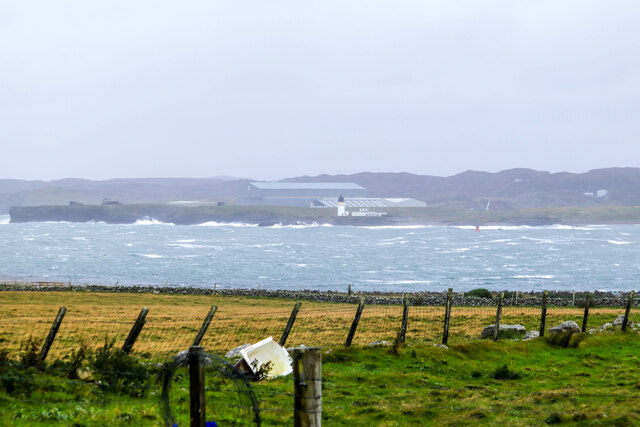
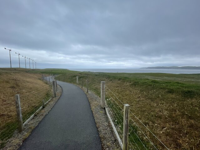
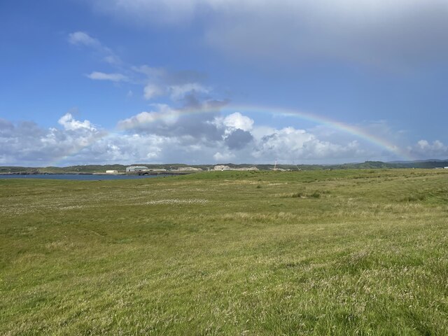
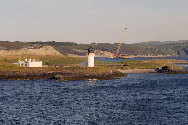
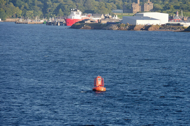
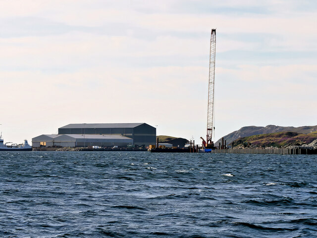
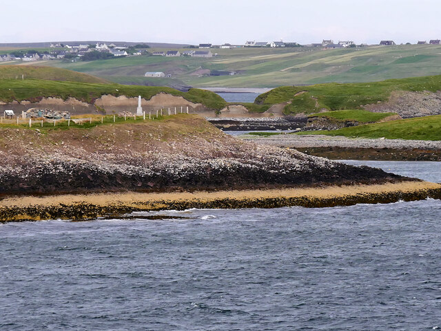
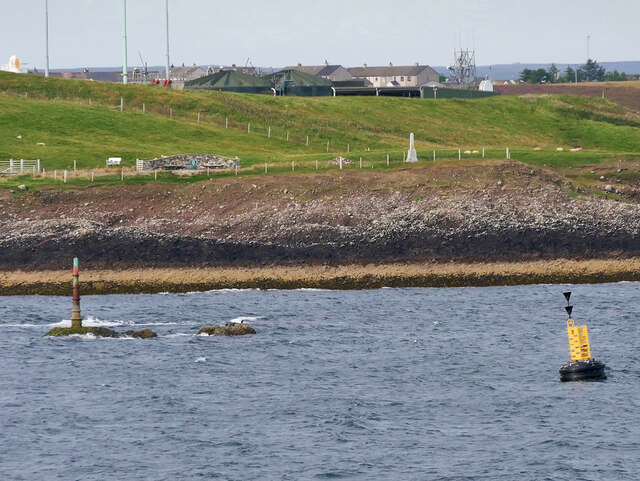
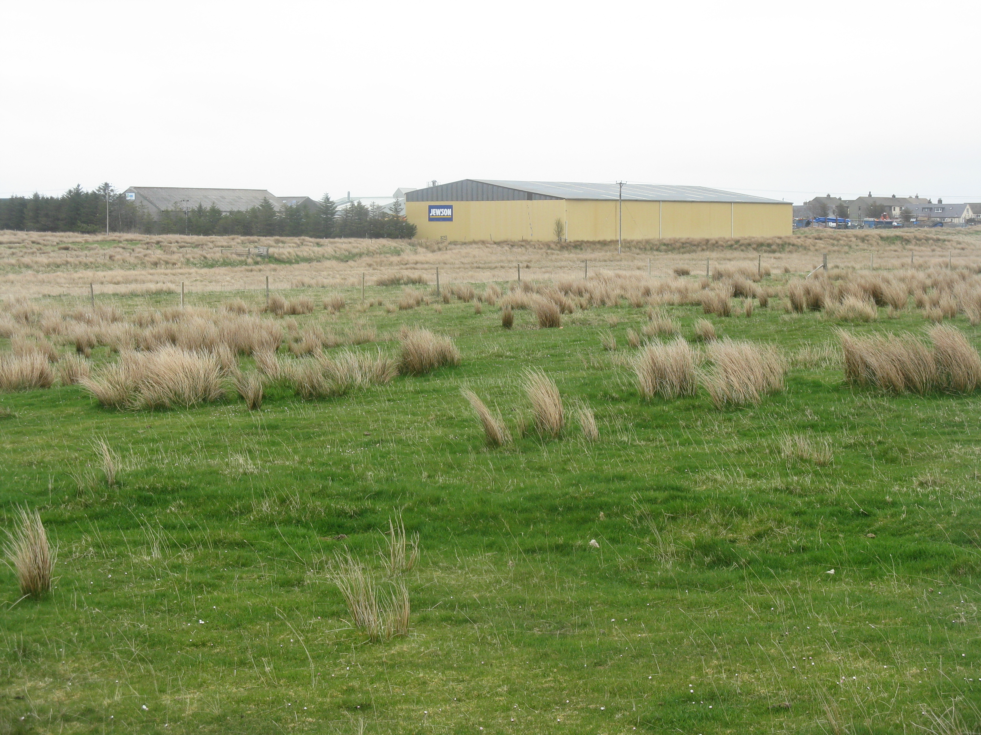
Cnoc nam Poll Ura Images
Images are sourced within 2km of 58.192593/-6.3533388 or Grid Reference NB4430. Thanks to Geograph Open Source API. All images are credited.

Cnoc nam Poll Ura is located at Grid Ref: NB4430 (Lat: 58.192593, Lng: -6.3533388)
Unitary Authority: Na h-Eileanan an Iar
Police Authority: Highlands and Islands
What 3 Words
///gates.beaks.backers. Near Stornoway, Na h-Eileanan Siar
Nearby Locations
Related Wikis

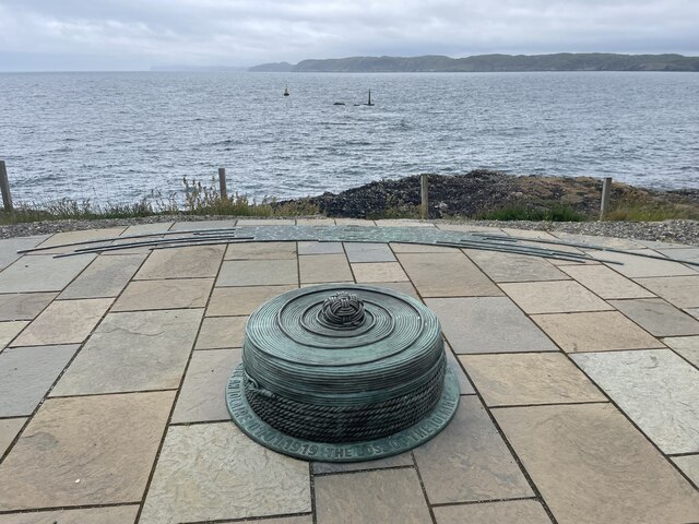
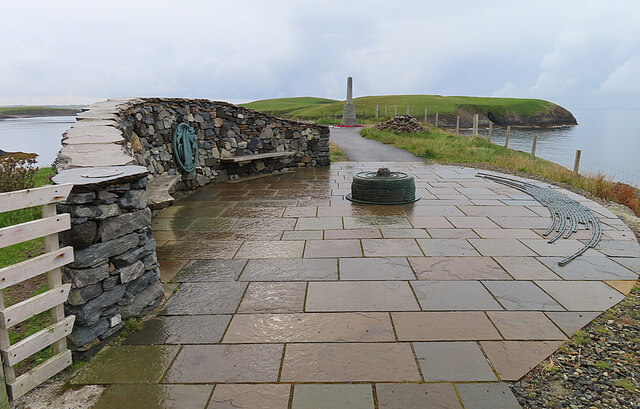
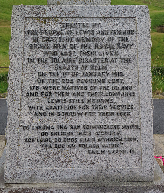
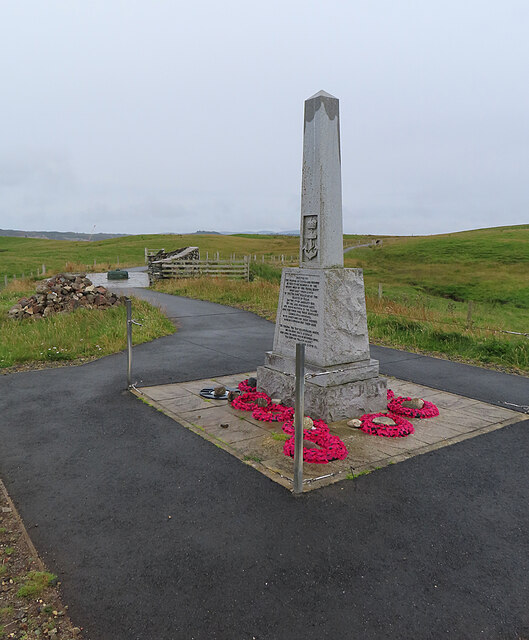
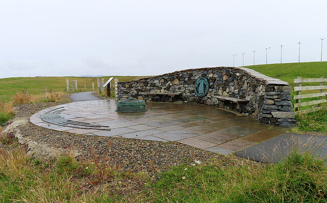
HMY Iolaire
HMY Iolaire was an Admiralty Yacht that sank at the entrance to Stornoway harbour on 1 January 1919, with the loss of at least 201 men out of the 283 on...
Parkend, Lewis
Parkend (Scottish Gaelic: Ceann nam Buailtean) is a hamlet in the Sandwick region of the Isle of Lewis, although like Melbost, it is not a part of the...

Holm, Lewis
Holm Village (Scottish Gaelic: Tolm) is a village in the Scottish Outer Hebrides, on the Isle of Lewis near Stornoway. The modern area of Holm can be split...

Sandwick, Lewis
Sandwick (Scottish Gaelic: Sanndabhaig, IPA:[ˈs̪aun̴̪t̪əvɪkʲ]) is a village in the Scottish Outer Hebrides, on the Isle of Lewis and a quasi-suburb of...
Nearby Amenities
Located within 500m of 58.192593,-6.3533388Have you been to Cnoc nam Poll Ura?
Leave your review of Cnoc nam Poll Ura below (or comments, questions and feedback).