Eilean nam Bà

Island in Argyllshire

Scotland

Eilean nam Bà

Trig point at Calgary Point
Trig point at Calgary Point Credit: Peter Edwards

Eilean nam Bà is a small island located off the west coast of Scotland in the county of Argyllshire. The island is situated in the Inner Hebrides, approximately 2.5 miles northeast of the town of Tobermory on the Isle of Mull.

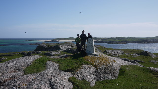
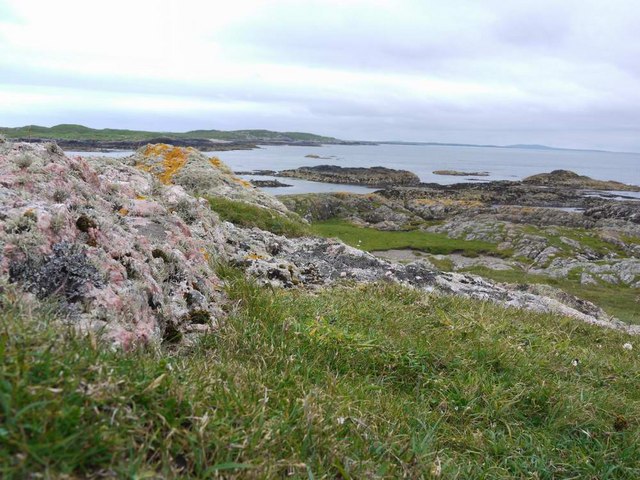
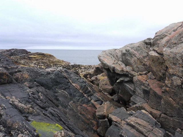
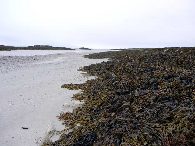
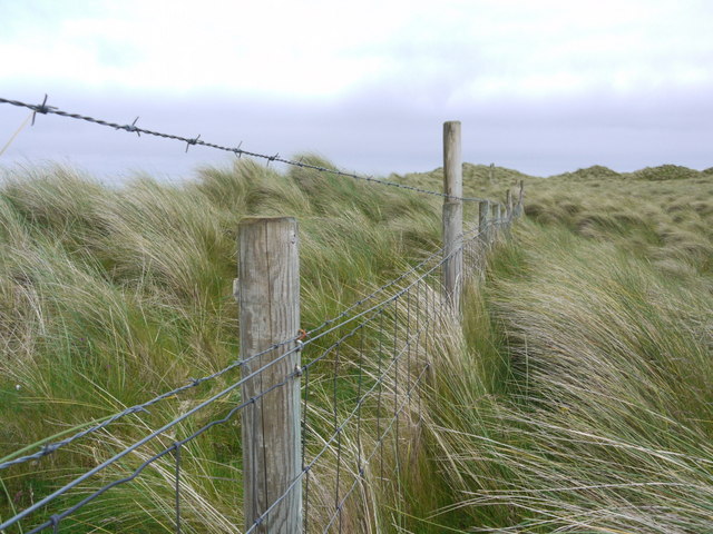
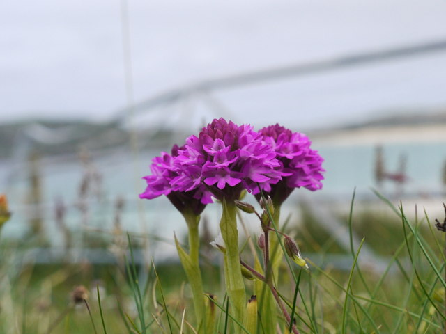
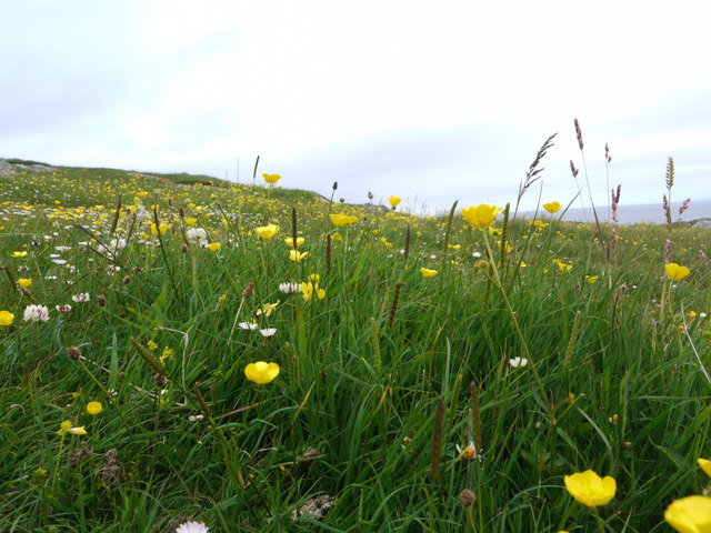
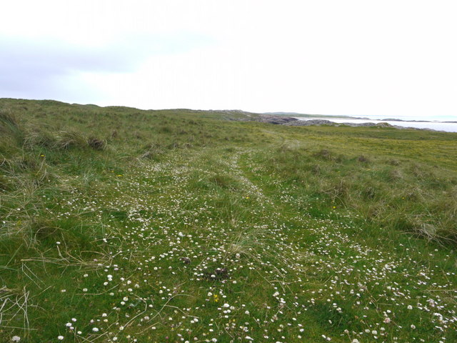
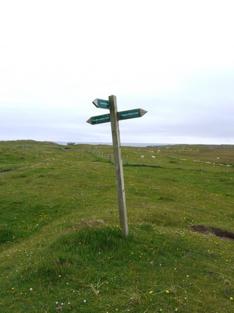
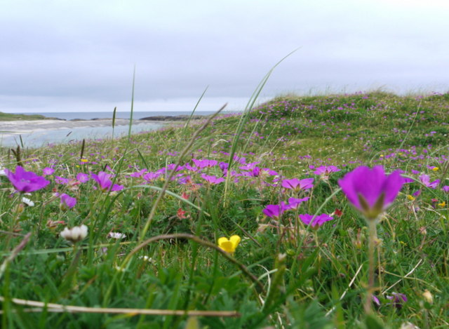
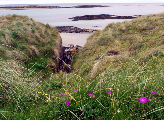
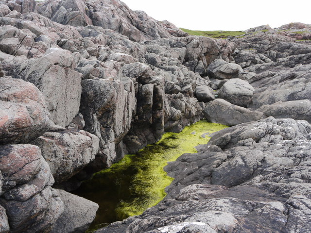
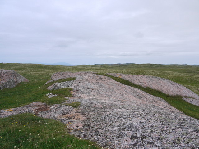
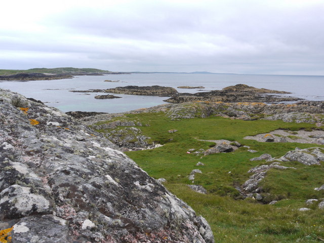
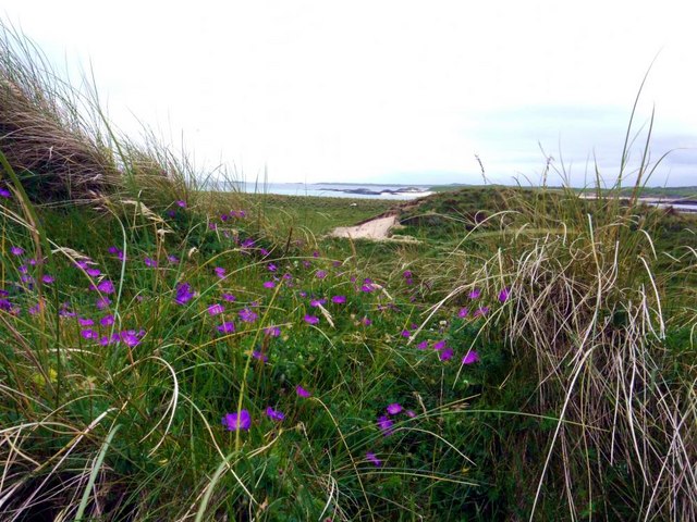
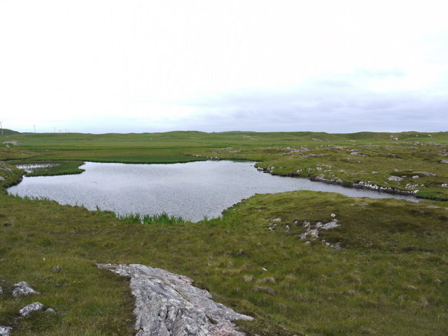
Eilean nam Bà is known for its stunning natural beauty, with rugged cliffs, rocky shores, and lush green vegetation. The island is uninhabited and covers an area of about 10 acres. It is accessible by boat, with various tour operators offering trips to the island from Tobermory.

The island's name translates to "Island of the Cows" in Gaelic, which is believed to be a reference to the animals that were once kept on the island. Today, visitors can explore the island's scenic walking trails and enjoy panoramic views of the surrounding sea and Mull's coastline.

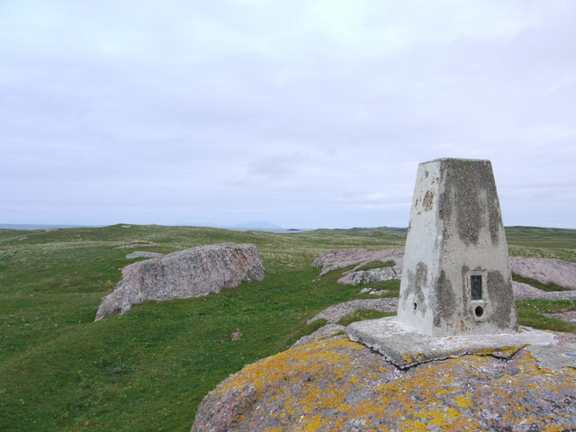
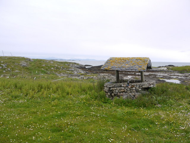
One of the main attractions on Eilean nam Bà is its iconic lighthouse, which was built in 1934 and is still in operation today. The lighthouse stands tall on the island's highest point, guiding ships through the treacherous waters of the Sound of Mull. The island is also home to a variety of bird species, including puffins, guillemots, and gulls, making it a popular spot for birdwatching.

Overall, Eilean nam Bà offers visitors a peaceful and picturesque escape, with its natural beauty, historical lighthouse, and abundant wildlife. It is a must-visit destination for nature enthusiasts and those seeking tranquility in the stunning Scottish countryside.

If you have any feedback on the listing, please let us know in the comments section below.

Eilean nam Bà Images

Images are sourced within 2km of 56.587092/-6.7026588 or Grid Reference NM1153. Thanks to Geograph Open Source API. All images are credited.

Trig point at Calgary Point
Calgary Point Looking over to Gunna
Calgary Point
Looking over to Gunna
Rock outcrops near Calgary Point
Low tide at the west end of Crossapol Bay Crossapol Bay is yet another of Coll's lovely sandy bays - about 2Km wide and there will probably only be you on it!
Low tide at the west end of Crossapol Bay
Crossapol Bay is yet another of Coll's lovely sandy bays - about 2Km wide and there will probably only be you on it!
Unfriendly fence We had walked from Calgary Point round to Feall Bay but got on the wrong side of this fence - not simple to cross with its wire-netting and two strands of barbed wire!
Unfriendly fence
We had walked from Calgary Point round to Feall Bay but got on the wrong side of this fence - not simple to cross with its wire-netting and two strands of barbed wire!
Trio of orchids All part of the joy of the Coll machairs.
Trio of orchids
All part of the joy of the Coll machairs.
Machair blossoms near Port Mine
The path to Calgary Point There is a faint waymarked (occasionally!) path all the way from the car park at Crossapol, via Feall Bay, to Calgary Point.
The path to Calgary Point
There is a faint waymarked (occasionally!) path all the way from the car park at Crossapol, via Feall Bay, to Calgary Point.
Footpath sign on Coll Left to Crossapol Beach, right to Calgary Point and behind the photographer to Feall Beach.  There is waymarking on the path to Calgary Point but it is a little spasmodic (June 2011).
Footpath sign on Coll
Left to Crossapol Beach, right to Calgary Point and behind the photographer to Feall Beach. There is waymarking on the path to Calgary Point but it is a little spasmodic (June 2011).
The machair in bloom at Traigh Halum
Rocky inlet at Traigh Halum Bloody cranesbill, daisies and buttercups in bloom in the machair.
Rocky inlet at Traigh Halum
Bloody cranesbill, daisies and buttercups in bloom in the machair.
Weedy tide-pool near Calgary Point
Exposed rock at Calgary Point The hills of Rum just visible in the distance.
Exposed rock at Calgary Point
The hills of Rum just visible in the distance.
The trig at Calgary Point The hills of Rum visible in the distance.
The trig at Calgary Point
The hills of Rum visible in the distance.
Calgary Point Looking over to the island of Gunna and, beyond that, Tiree.
Calgary Point
Looking over to the island of Gunna and, beyond that, Tiree.
Bloody cranesbill and dunes at Traigh nan Siolag Tiree in the distance.
Bloody cranesbill and dunes at Traigh nan Siolag
Tiree in the distance.
Lochan a' Chuirn
Lochan a' Chuirn
Well at Coales House Known by this name on the OS 50,000 mapping, but named "Walkers Cottage" on the 25,000 version.  This well has what appears to be a pump and waterpipe emerging so is not merely decorative.  Caoles House appears to be derelict.
Well at Coales House
Known by this name on the OS 50,000 mapping, but named "Walkers Cottage" on the 25,000 version. This well has what appears to be a pump and waterpipe emerging so is not merely decorative. Caoles House appears to be derelict.
Show me another place!

Eilean nam Bà is located at Grid Ref: NM1153 (Lat: 56.587092, Lng: -6.7026588)

Unitary Authority: Argyll and Bute

Police Authority: Argyll and West Dunbartonshire

What 3 Words

///reverses.resemble.property. Near Arinagour, Argyll & Bute

Related Wikis

Gunna, Scotland

Gunna (Gaelic: Gunnaigh) is an island in the Inner Hebrides of Scotland. == Geography and geology == Gunna lies between Coll and Tiree, closer to Coll...

Breachacha crannog

The Breachacha crannog is a crannog located near Loch Breachacha, on the Inner Hebridean island of Coll. The crannog is recognised in the United Kingdom...

Breachacha Castle

Breachacha Castle (also spelled Breacachadh) is either of two structures on the shore of Loch Breachacha, on the Inner Hebridean island of Coll, Scotland...

Dùn Beic

Dùn Beic is a dun located on the Inner Hebridean island of Coll. It is located at grid reference NM15495644 and is thought to date to between 1000 BCE...

Nearby Amenities

Located within 500m of 56.587092,-6.7026588
A' Chairidhe
Lang: gd
Natural: rock
Source: OS7
Tidal: yes
Lat/Long: 56.5901501/-6.7005715
Natural: rock
Source: OS7
Tidal: yes
Lat/Long: 56.5892553/-6.7007013
Natural: rock
Source: OS7
Tidal: yes
Lat/Long: 56.588611/-6.7011554
Natural: rock
Source: OS7
Tidal: yes
Lat/Long: 56.5849241/-6.7060205
Natural: rock
Source: OS7
Tidal: yes
Lat/Long: 56.5843514/-6.7066044
Natural: rock
Source: OS7
Tidal: yes
Lat/Long: 56.5839218/-6.7071233
Natural: rock
Source: OS7
Tidal: yes
Lat/Long: 56.5838144/-6.7080964
Natural: rock
Source: OS7
Tidal: yes
Lat/Long: 56.5834207/-6.7059557
Natural: rock
Source: OS7
Tidal: yes
Lat/Long: 56.5827763/-6.704788
The data included in this document is from www.openstreetmap.org. The data is made available under ODbL.

Have you been to Eilean nam Bà?

Leave your review of Eilean nam Bà below (or comments, questions and feedback).