Tràigh Halum

Beach in Argyllshire

Scotland

Tràigh Halum

Trig point at Calgary Point
Trig point at Calgary Point Credit: Peter Edwards

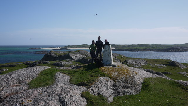
Tràigh Halum, located in Argyllshire, Scotland, is a picturesque beach known for its stunning natural beauty. Situated on the western coast of Scotland, this beach offers visitors a tranquil and serene escape from the hustle and bustle of city life.

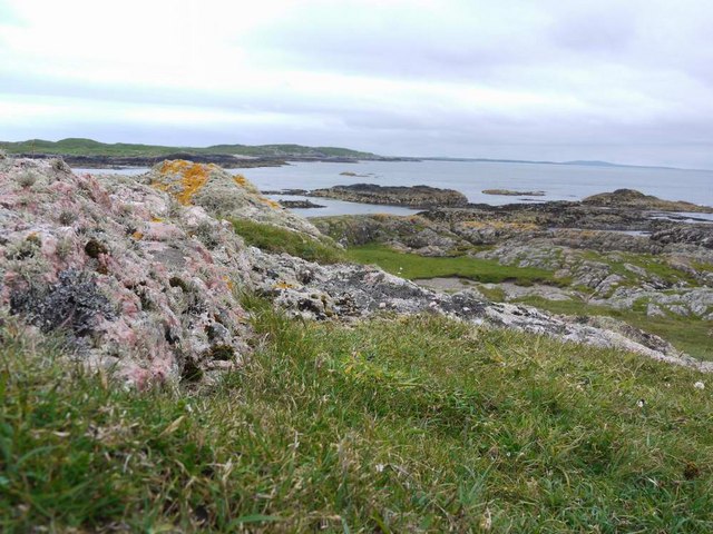
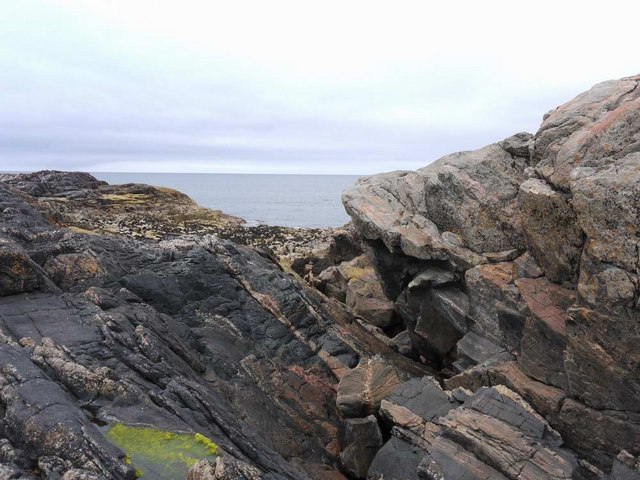
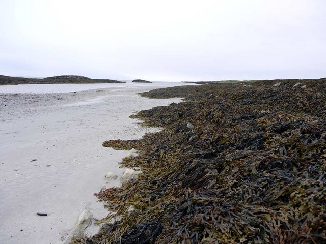
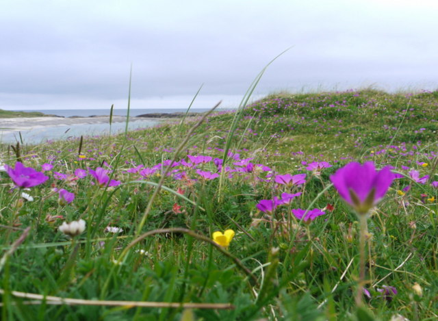
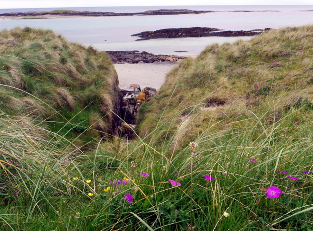
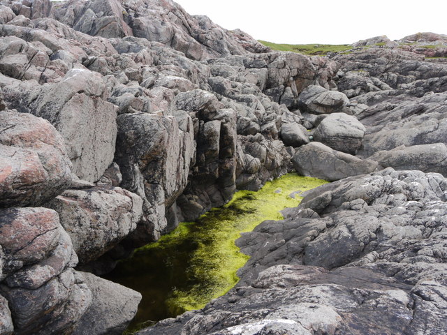
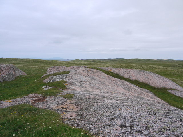
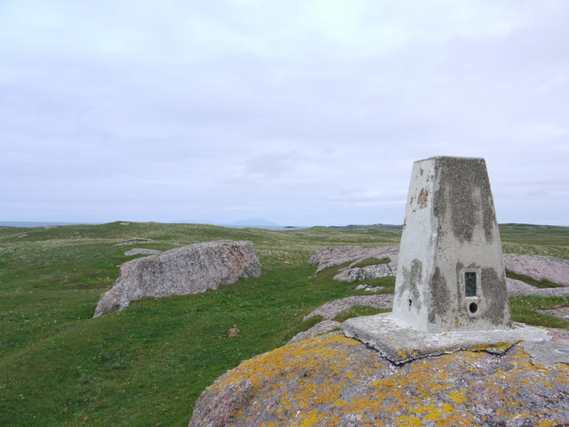
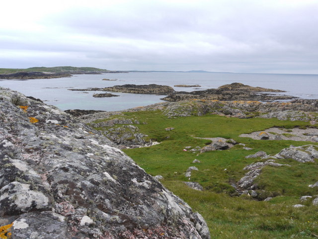
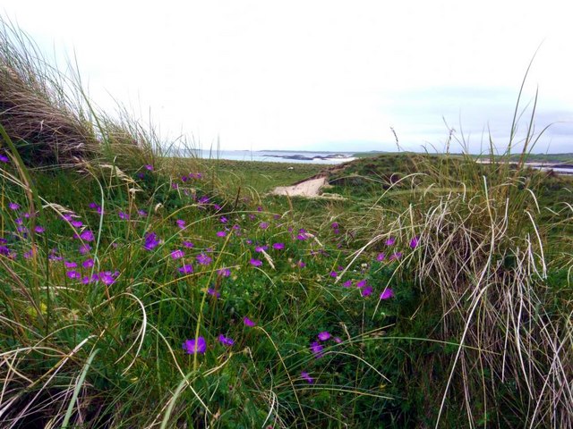
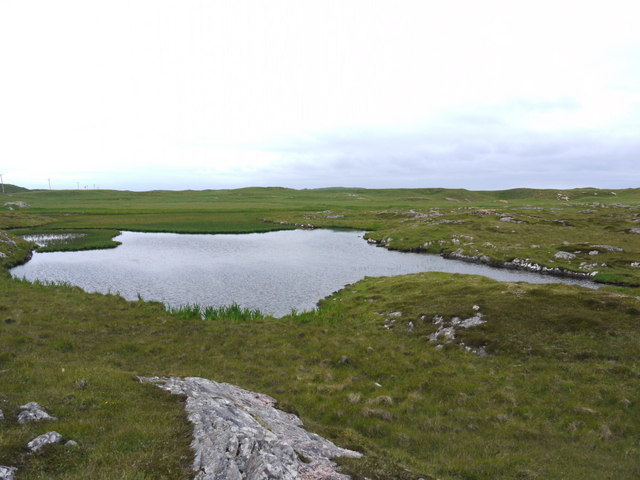
Stretching over a mile long, Tràigh Halum boasts pristine white sand and crystal-clear turquoise waters, creating a breathtaking coastal landscape. The beach is framed by lush green hills and dramatic cliffs, providing a dramatic backdrop for visitors to enjoy.

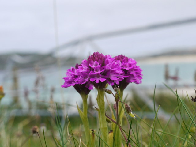
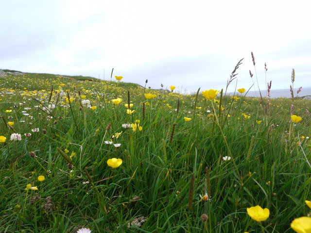
Tràigh Halum is a haven for nature enthusiasts and wildlife lovers, as it is home to a diverse range of plant and animal species. Seabirds can often be spotted soaring overhead, while seals and dolphins can be seen playing in the waters. The beach also offers fantastic opportunities for birdwatching, with a variety of seabirds nesting along the coast.

For those seeking adventure, Tràigh Halum offers excellent surfing conditions, with its exposed location attracting consistent waves. The beach is also ideal for long walks, picnics, and sunbathing, making it a popular destination for families and couples.

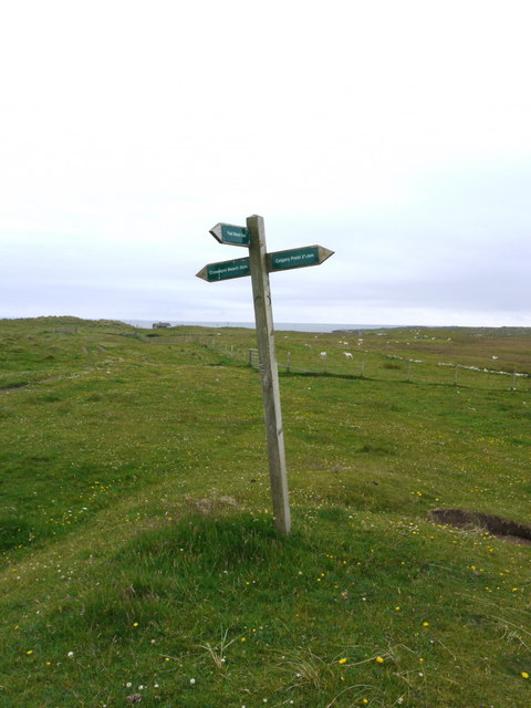
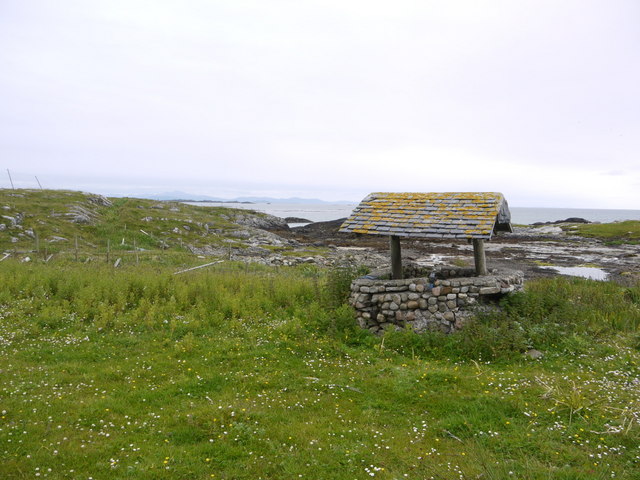
Facilities at Tràigh Halum include car parking, public toilets, and a nearby café where visitors can grab a bite to eat or enjoy a hot beverage. The beach is easily accessible by road, and its remote location adds to its charm, providing a sense of tranquility and seclusion.

Tràigh Halum is a true gem along Scotland's coastline, offering visitors a unique and unforgettable beach experience.

If you have any feedback on the listing, please let us know in the comments section below.

Tràigh Halum Images

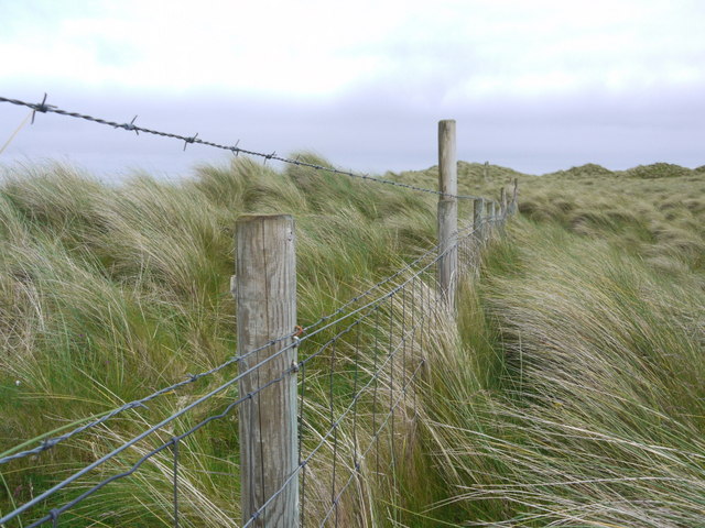
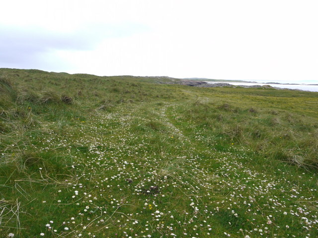
Images are sourced within 2km of 56.582544/-6.7006747 or Grid Reference NM1153. Thanks to Geograph Open Source API. All images are credited.

Trig point at Calgary Point
Calgary Point Looking over to Gunna
Calgary Point
Looking over to Gunna
Rock outcrops near Calgary Point
Low tide at the west end of Crossapol Bay Crossapol Bay is yet another of Coll's lovely sandy bays - about 2Km wide and there will probably only be you on it!
Low tide at the west end of Crossapol Bay
Crossapol Bay is yet another of Coll's lovely sandy bays - about 2Km wide and there will probably only be you on it!
Unfriendly fence We had walked from Calgary Point round to Feall Bay but got on the wrong side of this fence - not simple to cross with its wire-netting and two strands of barbed wire!
Unfriendly fence
We had walked from Calgary Point round to Feall Bay but got on the wrong side of this fence - not simple to cross with its wire-netting and two strands of barbed wire!
Trio of orchids All part of the joy of the Coll machairs.
Trio of orchids
All part of the joy of the Coll machairs.
Machair blossoms near Port Mine
The path to Calgary Point There is a faint waymarked (occasionally!) path all the way from the car park at Crossapol, via Feall Bay, to Calgary Point.
The path to Calgary Point
There is a faint waymarked (occasionally!) path all the way from the car park at Crossapol, via Feall Bay, to Calgary Point.
Footpath sign on Coll Left to Crossapol Beach, right to Calgary Point and behind the photographer to Feall Beach.  There is waymarking on the path to Calgary Point but it is a little spasmodic (June 2011).
Footpath sign on Coll
Left to Crossapol Beach, right to Calgary Point and behind the photographer to Feall Beach. There is waymarking on the path to Calgary Point but it is a little spasmodic (June 2011).
The machair in bloom at Traigh Halum
Rocky inlet at Traigh Halum Bloody cranesbill, daisies and buttercups in bloom in the machair.
Rocky inlet at Traigh Halum
Bloody cranesbill, daisies and buttercups in bloom in the machair.
Weedy tide-pool near Calgary Point
Exposed rock at Calgary Point The hills of Rum just visible in the distance.
Exposed rock at Calgary Point
The hills of Rum just visible in the distance.
The trig at Calgary Point The hills of Rum visible in the distance.
The trig at Calgary Point
The hills of Rum visible in the distance.
Calgary Point Looking over to the island of Gunna and, beyond that, Tiree.
Calgary Point
Looking over to the island of Gunna and, beyond that, Tiree.
Bloody cranesbill and dunes at Traigh nan Siolag Tiree in the distance.
Bloody cranesbill and dunes at Traigh nan Siolag
Tiree in the distance.
Lochan a' Chuirn
Lochan a' Chuirn
Well at Coales House Known by this name on the OS 50,000 mapping, but named "Walkers Cottage" on the 25,000 version.  This well has what appears to be a pump and waterpipe emerging so is not merely decorative.  Caoles House appears to be derelict.
Well at Coales House
Known by this name on the OS 50,000 mapping, but named "Walkers Cottage" on the 25,000 version. This well has what appears to be a pump and waterpipe emerging so is not merely decorative. Caoles House appears to be derelict.
Show me another place!

Tràigh Halum is located at Grid Ref: NM1153 (Lat: 56.582544, Lng: -6.7006747)

Unitary Authority: Argyll and Bute

Police Authority: Argyll and West Dunbartonshire

What 3 Words

///womb.habit.regal. Near Scarinish, Argyll & Bute

Related Wikis

Gunna, Scotland

Gunna (Gaelic: Gunnaigh) is an island in the Inner Hebrides of Scotland. == Geography and geology == Gunna lies between Coll and Tiree, closer to Coll...

Breachacha crannog

The Breachacha crannog is a crannog located near Loch Breachacha, on the Inner Hebridean island of Coll. The crannog is recognised in the United Kingdom...

Breachacha Castle

Breachacha Castle (also spelled Breacachadh) is either of two structures on the shore of Loch Breachacha, on the Inner Hebridean island of Coll, Scotland...

Dùn Beic

Dùn Beic is a dun located on the Inner Hebridean island of Coll. It is located at grid reference NM15495644 and is thought to date to between 1000 BCE...

Nearby Amenities

Located within 500m of 56.582544,-6.7006747
Natural: rock
Source: OS7
Tidal: yes
Lat/Long: 56.5849241/-6.7060205
Natural: rock
Source: OS7
Tidal: yes
Lat/Long: 56.5843514/-6.7066044
Natural: rock
Source: OS7
Tidal: yes
Lat/Long: 56.5839218/-6.7071233
Natural: rock
Source: OS7
Tidal: yes
Lat/Long: 56.5838144/-6.7080964
Natural: rock
Source: OS7
Tidal: yes
Lat/Long: 56.5834207/-6.7059557
Natural: rock
Source: OS7
Tidal: yes
Lat/Long: 56.5827763/-6.704788
Natural: rock
Source: OS7
Tidal: yes
Lat/Long: 56.5825615/-6.7068638
The data included in this document is from www.openstreetmap.org. The data is made available under ODbL.

Have you been to Tràigh Halum?

Leave your review of Tràigh Halum below (or comments, questions and feedback).