Sloc nam Caorach
Bay in Argyllshire
Scotland
Sloc nam Caorach
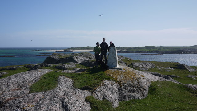
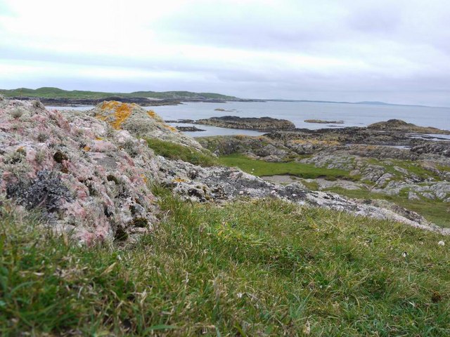
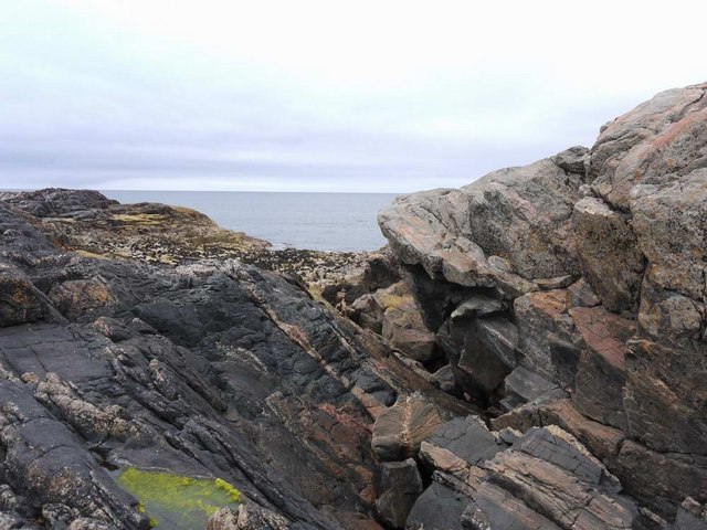
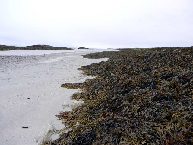
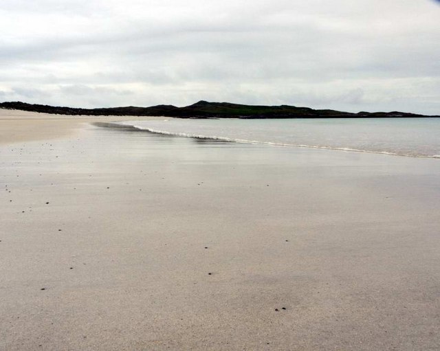
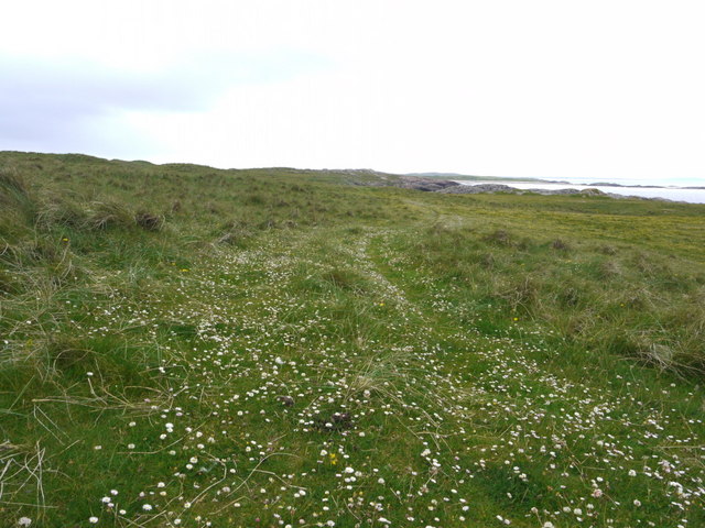
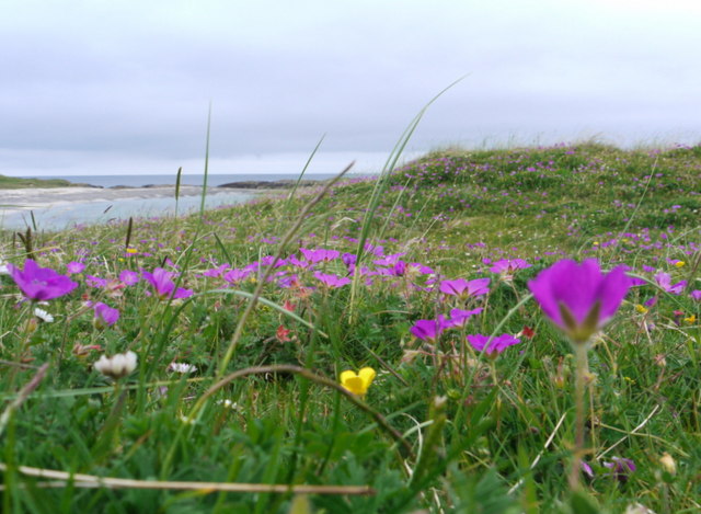
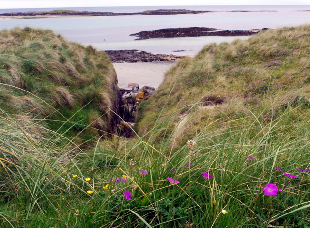
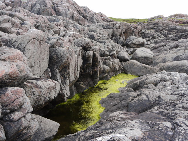
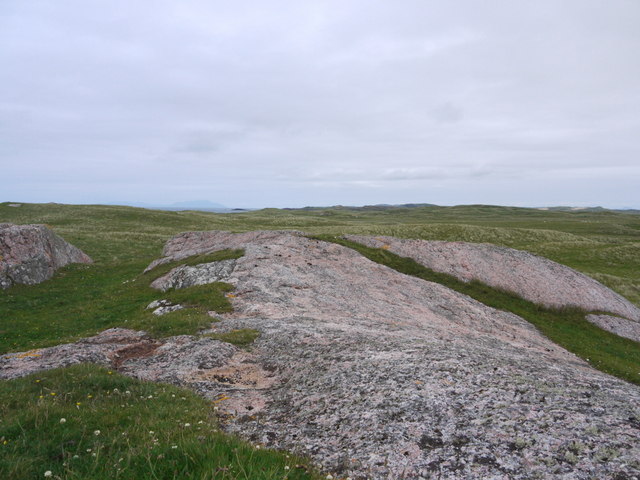
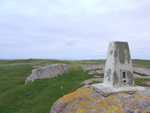
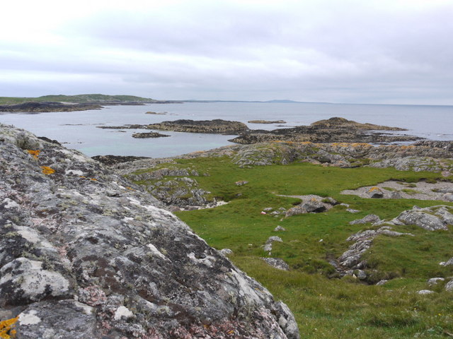
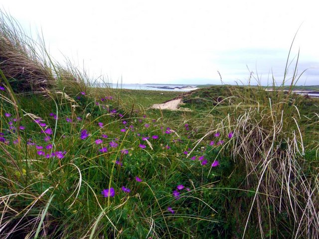
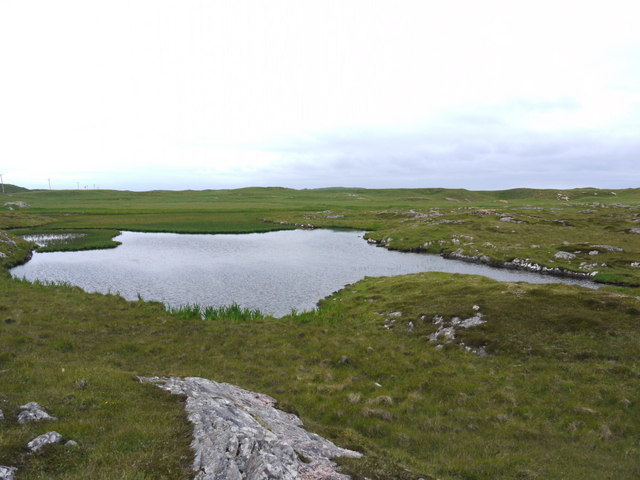
Sloc nam Caorach, also known as Sheep Bay, is a picturesque coastal area located in Argyllshire, Scotland. Situated on the western coast of the country, this bay offers stunning views of the surrounding rugged cliffs, rolling hills, and the vast expanse of the Atlantic Ocean.
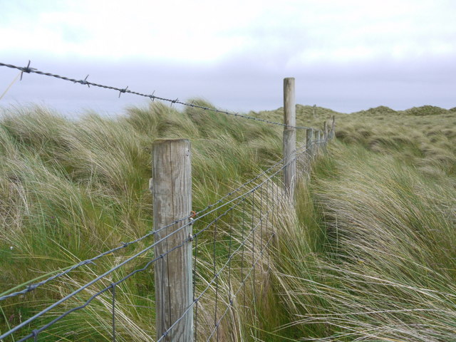
The name "Sloc nam Caorach" translates to "Sheep Bay" in English, indicating the area's historical association with sheep farming. The bay has long been utilized as grazing land for sheep, and the presence of these animals adds to the charm and character of the landscape.
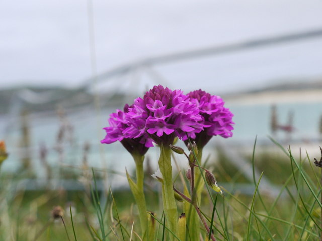
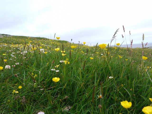
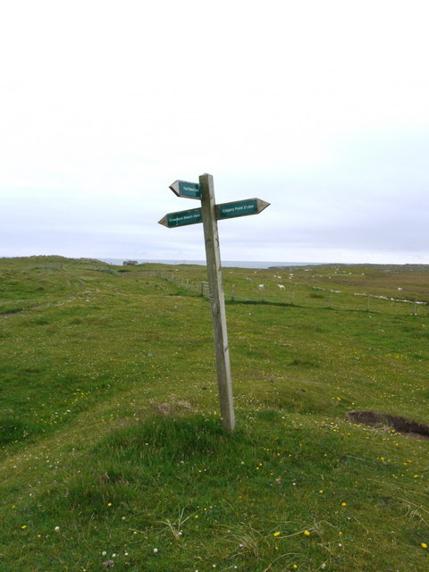
The bay is characterized by its tranquil and serene atmosphere, making it an ideal spot for relaxation and nature appreciation. Visitors to Sloc nam Caorach can enjoy leisurely walks along the coastline, taking in the breathtaking scenery and observing the diverse wildlife that inhabits the area. Seals, dolphins, and a variety of seabirds can often be spotted in the bay, providing ample opportunities for nature enthusiasts and photographers.
In addition to its natural beauty, Sloc nam Caorach offers a range of outdoor activities. The bay is a popular spot for fishing, with anglers often seeking out the abundant marine life that thrives in these waters. Kayaking and paddleboarding are also popular pastimes, allowing visitors to explore the bay's nooks and crannies from a different perspective.
Overall, Sloc nam Caorach is a hidden gem in Argyllshire, offering a peaceful and scenic coastal experience for those seeking to escape the hustle and bustle of everyday life.
If you have any feedback on the listing, please let us know in the comments section below.
Sloc nam Caorach Images
Images are sourced within 2km of 56.584266/-6.6948574 or Grid Reference NM1153. Thanks to Geograph Open Source API. All images are credited.
Sloc nam Caorach is located at Grid Ref: NM1153 (Lat: 56.584266, Lng: -6.6948574)
Unitary Authority: Argyll and Bute
Police Authority: Argyll and West Dunbartonshire
What 3 Words
///refilled.rebel.newer. Near Arinagour, Argyll & Bute
Nearby Locations
Related Wikis

Gunna, Scotland
Gunna (Gaelic: Gunnaigh) is an island in the Inner Hebrides of Scotland. == Geography and geology == Gunna lies between Coll and Tiree, closer to Coll...
Breachacha crannog
The Breachacha crannog is a crannog located near Loch Breachacha, on the Inner Hebridean island of Coll. The crannog is recognised in the United Kingdom...

Breachacha Castle
Breachacha Castle (also spelled Breacachadh) is either of two structures on the shore of Loch Breachacha, on the Inner Hebridean island of Coll, Scotland...

Dùn Beic
Dùn Beic is a dun located on the Inner Hebridean island of Coll. It is located at grid reference NM15495644 and is thought to date to between 1000 BCE...
Nearby Amenities
Located within 500m of 56.584266,-6.6948574Have you been to Sloc nam Caorach?
Leave your review of Sloc nam Caorach below (or comments, questions and feedback).