Luddesdown
Settlement in Kent Gravesham
England
Luddesdown
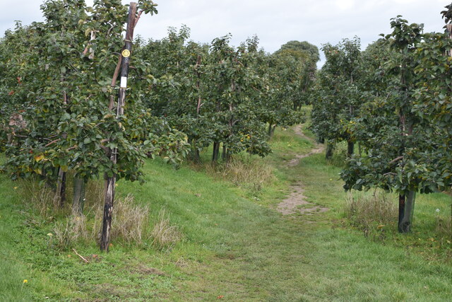
Luddesdown is a small village located in the county of Kent, in southeastern England. Situated in the North Downs, it is part of the Medway district and lies approximately 30 miles southeast of London. The village is nestled amidst picturesque countryside, surrounded by rolling hills and lush green fields.
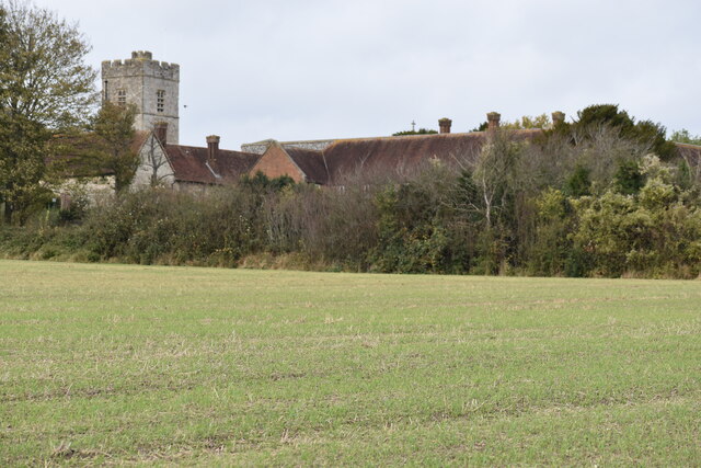
Luddesdown has a rich history that dates back centuries. It is believed to have been settled since Saxon times, and evidence of its ancient roots can be seen in the form of a medieval church, St. Peter and St. Paul, which still stands at the heart of the village. The church features a striking tower and beautiful stained glass windows, showcasing the architectural heritage of the area.
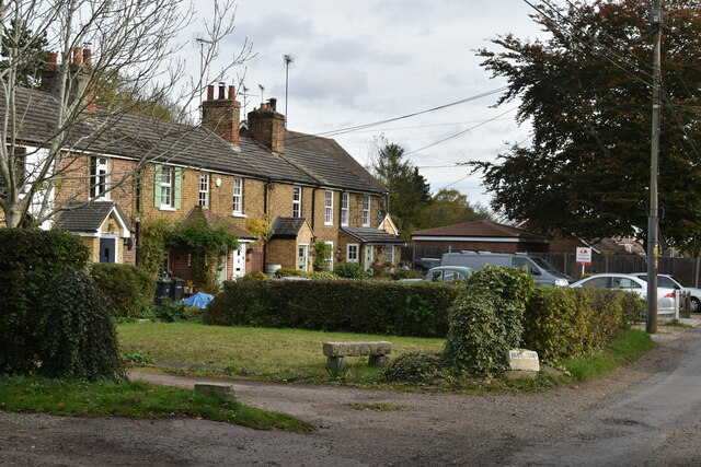
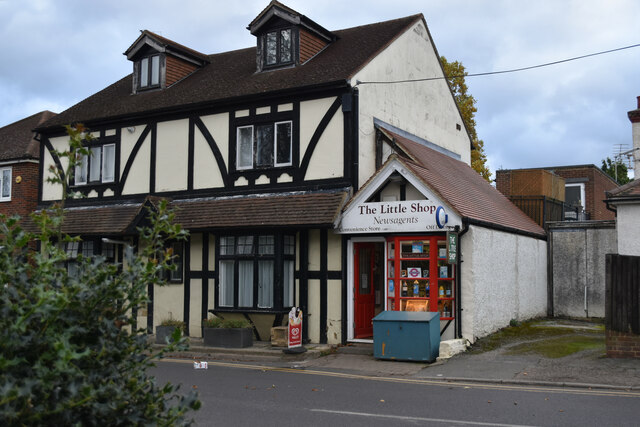
The village itself is characterized by its quaint and peaceful atmosphere, with charming cottages lining the narrow lanes. It is a close-knit community, with a population of around 300 residents. The village has a strong sense of community spirit and organizes various events throughout the year, including summer fairs and Christmas celebrations.
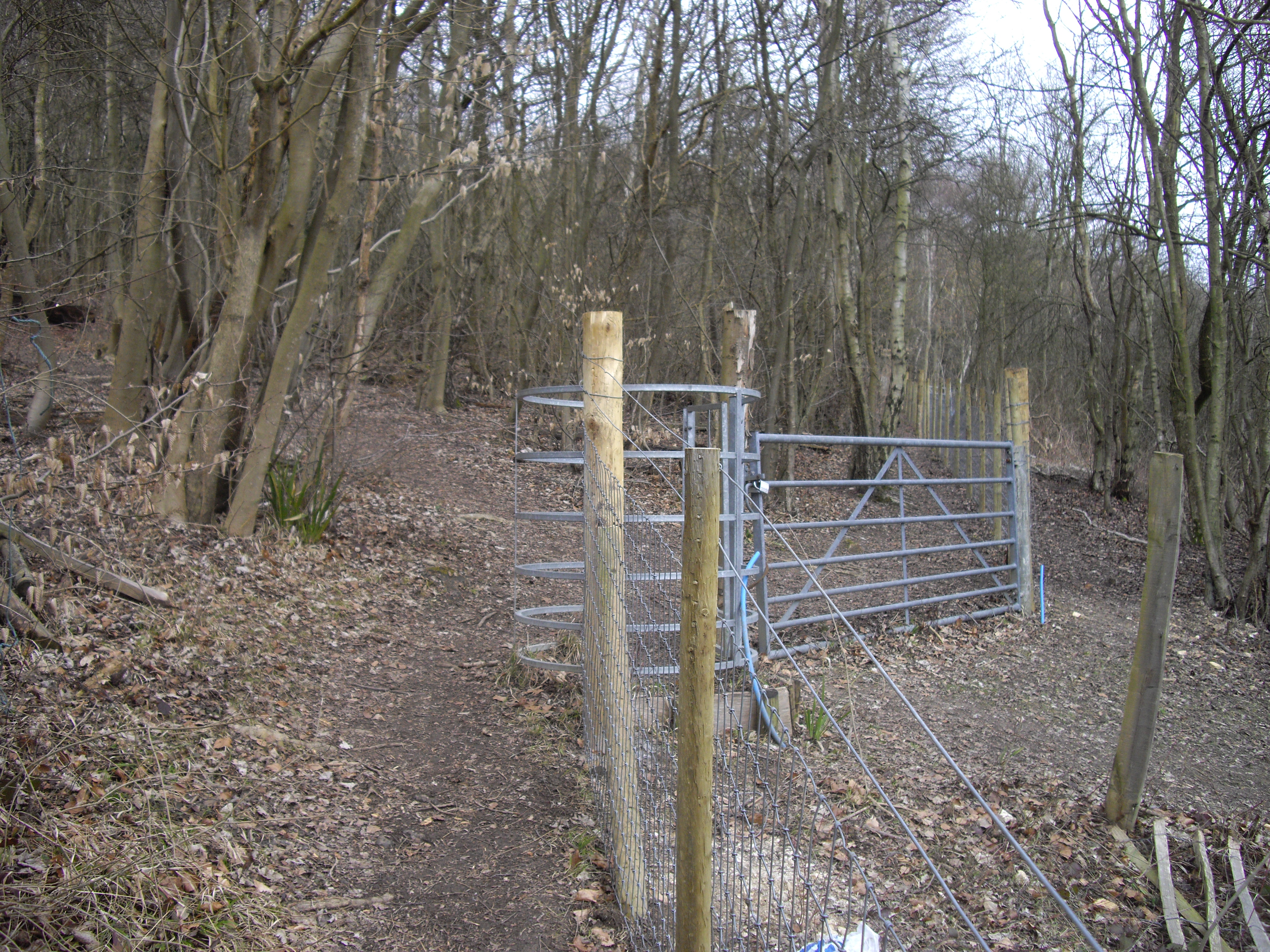
Surrounding Luddesdown are scenic walking and cycling routes, offering residents and visitors the opportunity to explore the stunning countryside. The area is also home to a diverse range of wildlife, including deer, birds, and butterflies.
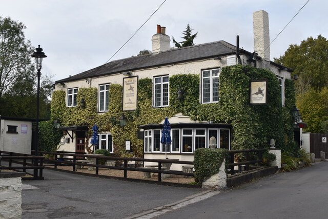
Despite its small size, Luddesdown benefits from its proximity to larger towns and cities. The nearby town of Rochester provides amenities such as shops, schools, and healthcare facilities, ensuring that residents have access to essential services.
Overall, Luddesdown offers a tranquil and idyllic setting, perfect for those seeking a peaceful village lifestyle amidst the natural beauty of the Kentish countryside.
If you have any feedback on the listing, please let us know in the comments section below.
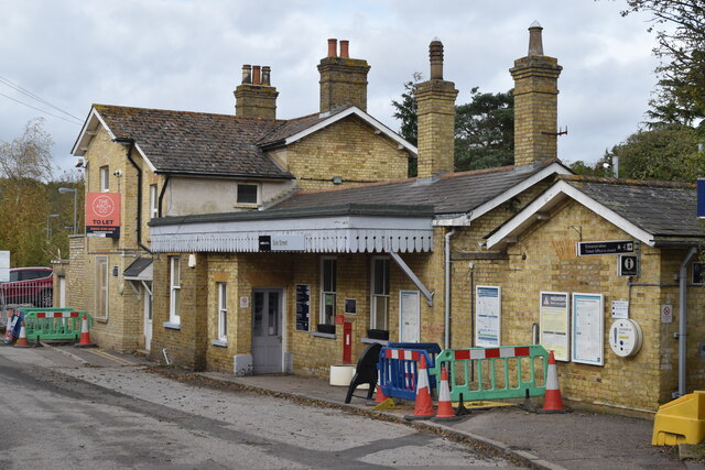
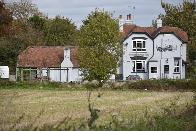
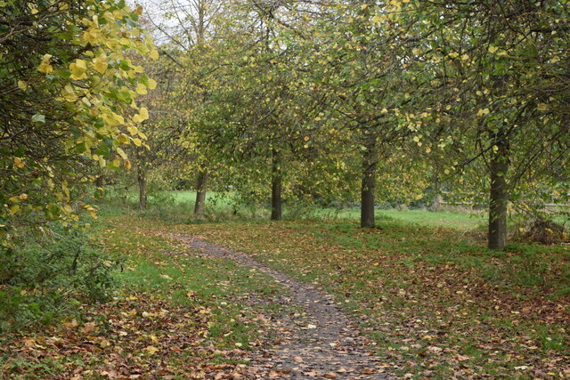
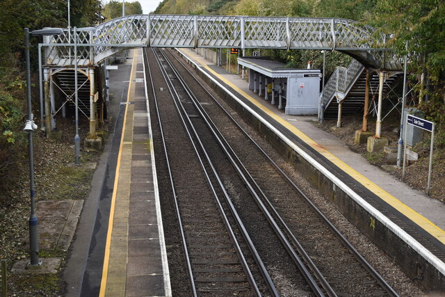
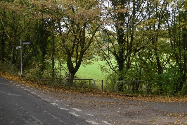
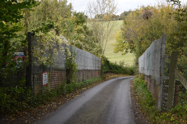
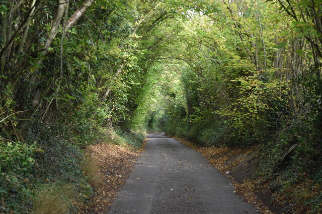
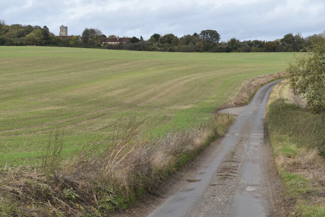
Luddesdown Images
Images are sourced within 2km of 51.370991/0.397471 or Grid Reference TQ6666. Thanks to Geograph Open Source API. All images are credited.


Luddesdown is located at Grid Ref: TQ6666 (Lat: 51.370991, Lng: 0.397471)
Administrative County: Kent
District: Gravesham
Police Authority: Kent
What 3 Words
///think.goats.beast. Near Meopham, Kent
Nearby Locations
Related Wikis
Luddesdown
Luddesdown () is a civil parish in the Gravesham District of Kent, England. == Geography == This very rural parish, forming part of the North Downs Area...
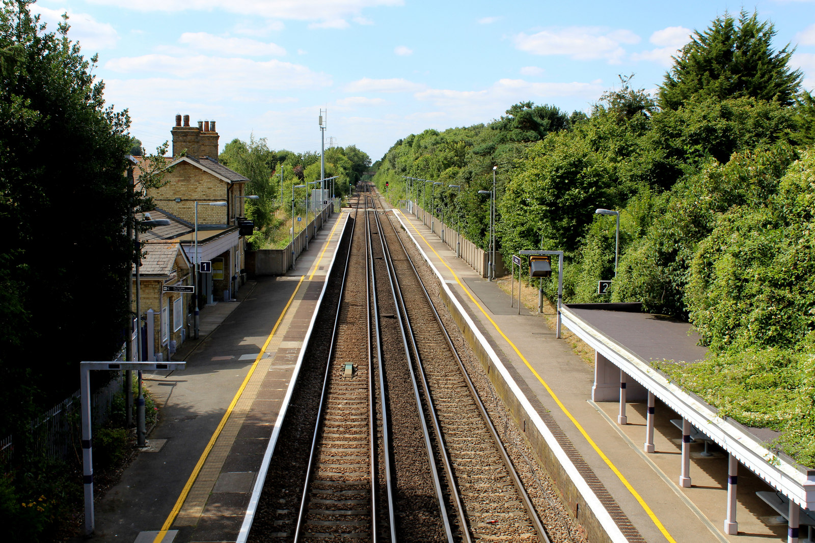
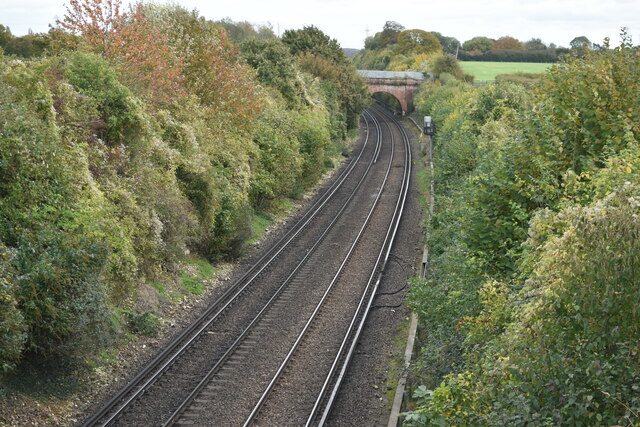
Sole Street railway station
Sole Street railway station is on the Chatham Main Line in England, serving the village of Sole Street, near Cobham, Kent. It is 26 miles 71 chains (43...

Cobham, Kent
Cobham () is a village and civil parish in the borough of Gravesham in Kent, England. The village is located 6 miles (10 km) south-east of Gravesend,...

Camer Park Country Park
Camer Country Park is in Meopham, in Kent, England. It is a former estate landscape, with grassland and woodland. == History == This park was originally...
Halling to Trottiscliffe Escarpment
Halling to Trottiscliffe Escarpment is a 600.6-hectare (1,484-acre) biological Site of Special Scientific Interest which runs from Cuxton to Wrotham, west...

Owletts
Owletts is a country house 0.8 miles (1.3 km) to the northwest of the village of Cobham in Kent, England. It is a Grade II* listed building owned by the...

Dode, Kent
Dode (in Old English, Dowde) was a village in England that was wiped out by the Black Death in 1349. All that remains is the deconsecrated church, which...
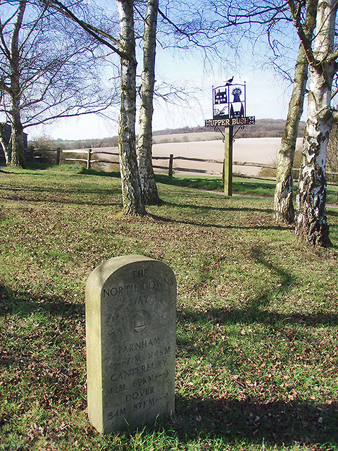
Upper Bush
Upper Bush is a hamlet in the parish of Cuxton, in the unitary authority of Medway, in Kent, England. The hamlet has only a few houses, including two Grade...
Nearby Amenities
Located within 500m of 51.370991,0.397471Have you been to Luddesdown?
Leave your review of Luddesdown below (or comments, questions and feedback).