Woodfield Shaw
Wood, Forest in Kent Gravesham
England
Woodfield Shaw
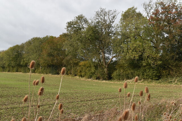
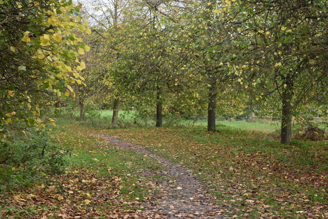
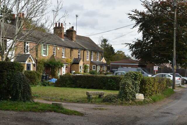
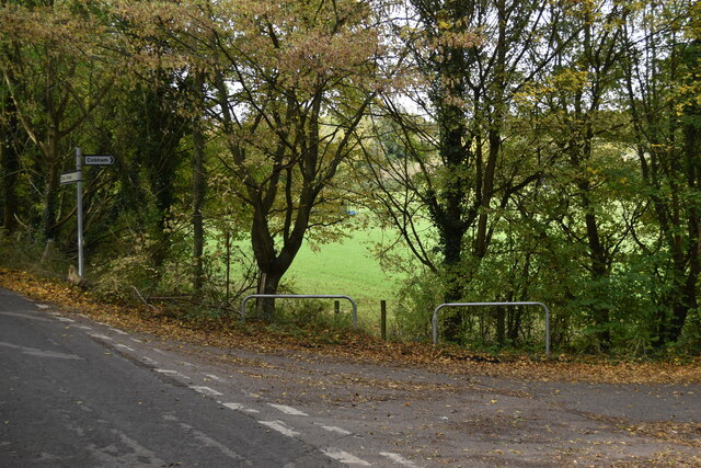
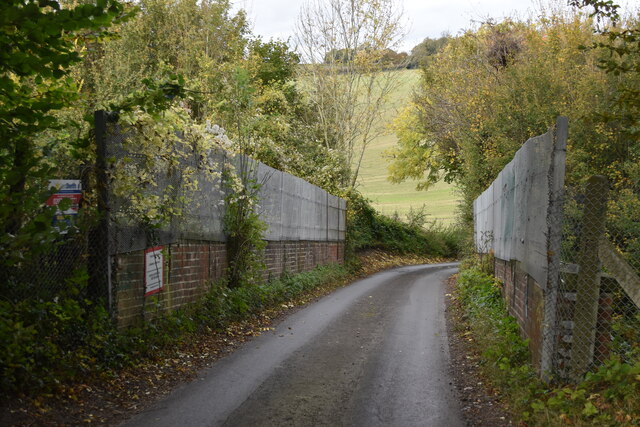
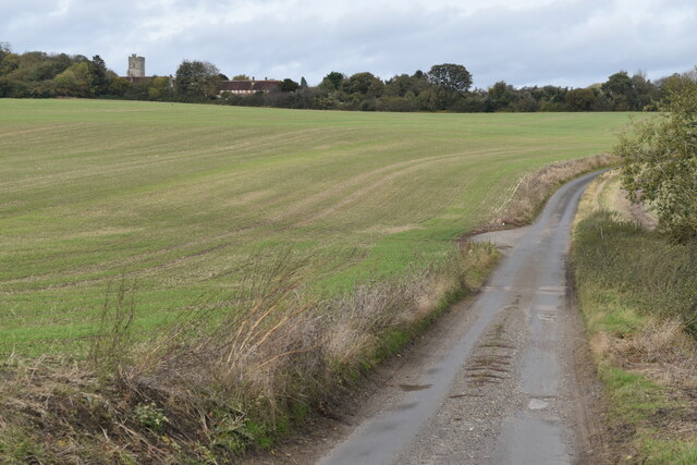
Woodfield Shaw is a picturesque area located in the county of Kent, England. Nestled amidst the beautiful countryside, it is renowned for its abundant woodlands and forests, hence its name. The area offers a tranquil and serene environment, making it an ideal retreat for nature lovers and those seeking a peaceful escape from the bustling city life.
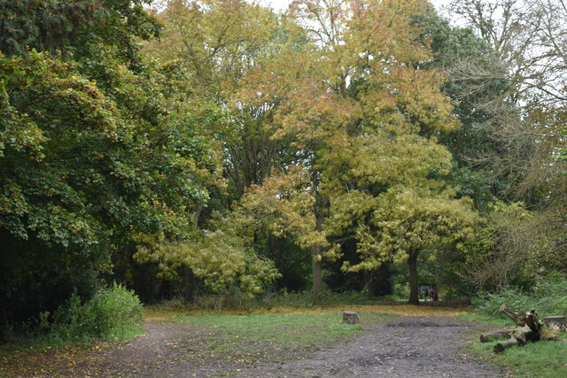
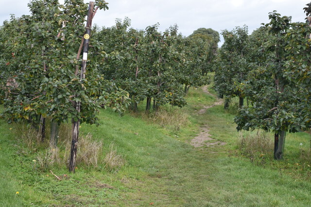
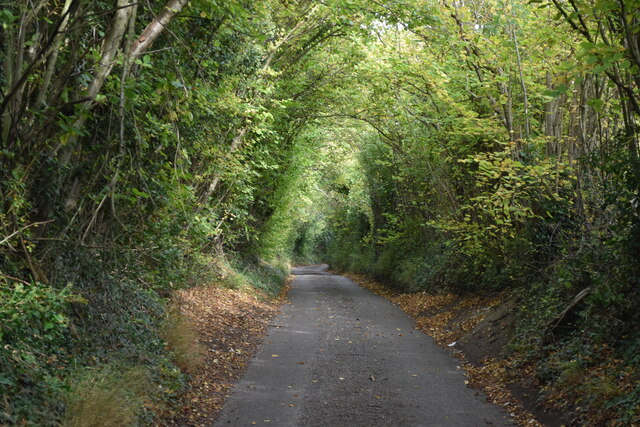
Woodfield Shaw is characterized by its lush greenery and diverse flora and fauna. The woodlands are home to a variety of tree species, including oak, beech, and pine, creating an enchanting and scenic landscape. The forest area is also inhabited by a rich array of wildlife, including deer, foxes, and various bird species, attracting nature enthusiasts and birdwatchers.
The area is not only known for its natural beauty but also for its recreational opportunities. There are several walking and hiking trails that wind through the woods, providing an excellent opportunity for outdoor enthusiasts to explore and immerse themselves in the tranquility of the surroundings. Additionally, Woodfield Shaw offers ample space for picnics, allowing visitors to enjoy a leisurely day out amidst the stunning backdrop of nature.
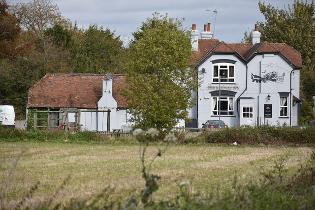
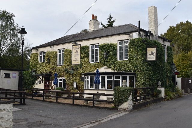
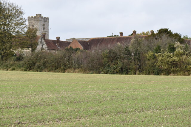
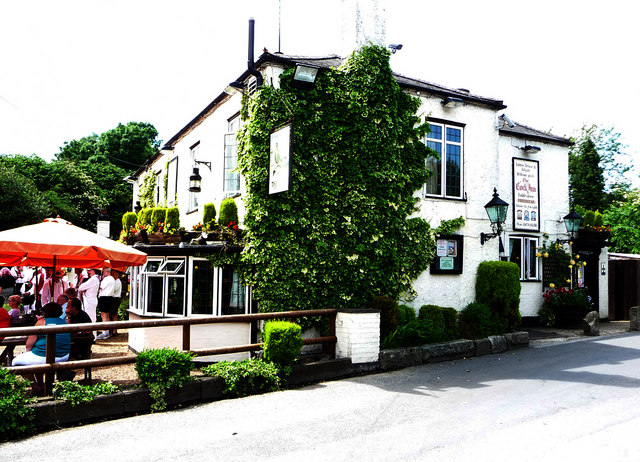
Woodfield Shaw is conveniently located near the town of Kent, offering easy access to amenities and services. It is also within close proximity to other popular attractions, such as historical sites, charming villages, and country pubs, making it an ideal base for tourists exploring the region.
In conclusion, Woodfield Shaw in Kent is a captivating and scenic area, offering a sanctuary for nature lovers and outdoor enthusiasts. With its verdant woodlands, diverse wildlife, and recreational opportunities, it is a must-visit destination for those seeking a tranquil escape in the heart of the English countryside.
If you have any feedback on the listing, please let us know in the comments section below.
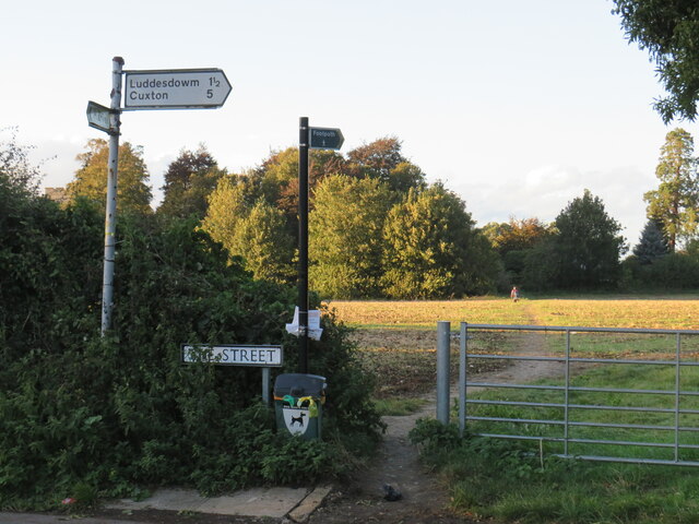
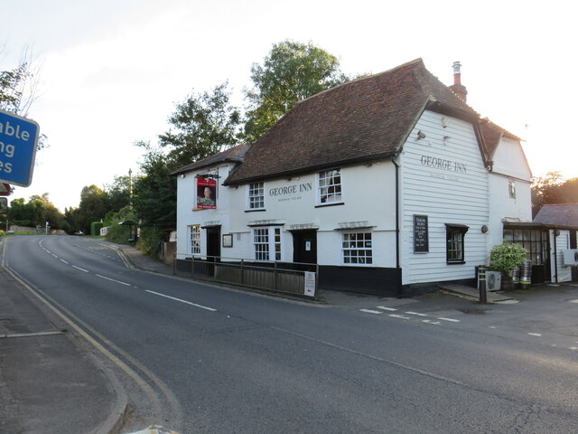
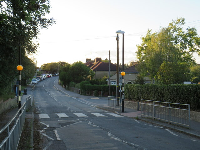
Woodfield Shaw Images
Images are sourced within 2km of 51.37395/0.38661553 or Grid Reference TQ6666. Thanks to Geograph Open Source API. All images are credited.
Woodfield Shaw is located at Grid Ref: TQ6666 (Lat: 51.37395, Lng: 0.38661553)
Administrative County: Kent
District: Gravesham
Police Authority: Kent
What 3 Words
///fallen.banks.clash. Near Meopham, Kent
Nearby Locations
Related Wikis
Luddesdown
Luddesdown () is a civil parish in the Gravesham District of Kent, England. == Geography == This very rural parish, forming part of the North Downs Area...
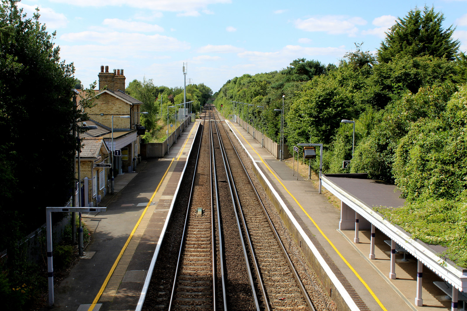
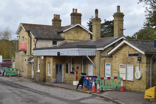
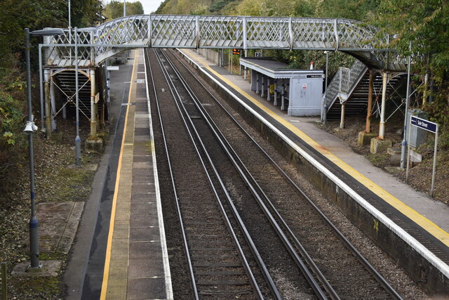
Sole Street railway station
Sole Street railway station is on the Chatham Main Line in England, serving the village of Sole Street, near Cobham, Kent. It is 26 miles 71 chains (43...

Camer Park Country Park
Camer Country Park is in Meopham, in Kent, England. It is a former estate landscape, with grassland and woodland. == History == This park was originally...

Cobham, Kent
Cobham () is a village and civil parish in the borough of Gravesham in Kent, England. The village is located 6 miles (10 km) south-east of Gravesend,...

Meopham School
Meopham School is a Coeducational secondary school with approximately 950 students, located in Meopham, Kent, England, UK. The school is non-selective...

Owletts
Owletts is a country house 0.8 miles (1.3 km) to the northwest of the village of Cobham in Kent, England. It is a Grade II* listed building owned by the...

Meopham
Meopham is a large linear village and civil parish in the Borough of Gravesham in north-west Kent, England, lying to the south of Gravesend. The parish...

Meopham air disaster
The Meopham Air Disaster occurred on 21 July 1930 when a Junkers F.13ge flying from Le Touquet to Croydon with two crew and four passengers crashed near...
Nearby Amenities
Located within 500m of 51.37395,0.38661553Have you been to Woodfield Shaw?
Leave your review of Woodfield Shaw below (or comments, questions and feedback).