Luddesdown Court
Heritage Site in Kent Gravesham
England
Luddesdown Court
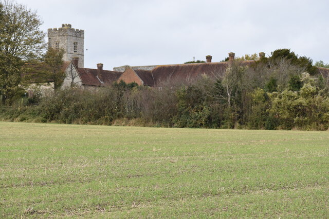
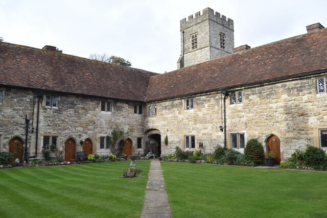
Luddesdown Court is a historically significant heritage site located in the rural village of Luddesdown, Kent, England. This magnificent building dates back to the 16th century and is renowned for its architectural beauty and historical importance.
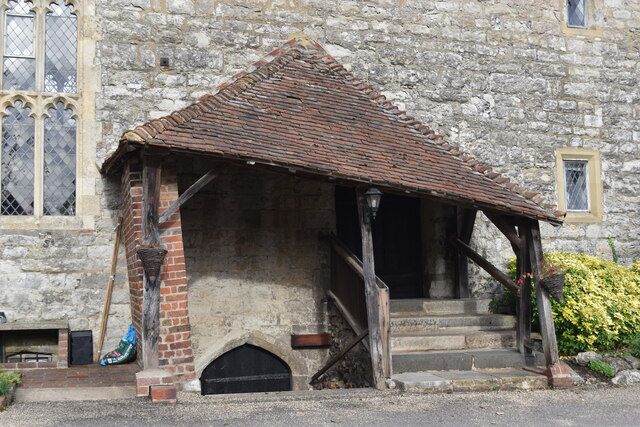
Originally constructed as a manor house, Luddesdown Court has undergone several renovations and additions over the centuries. The building is characterized by its stunning Elizabethan-style architecture, featuring a grand symmetrical facade, prominent chimneys, and mullioned windows. The interior boasts intricately carved woodwork, ornate plaster ceilings, and a magnificent oak-paneled Great Hall, which serves as a reminder of the building's rich past.
Luddesdown Court has a significant historical background. It was once the ancestral home of the Gainsford family, who were prominent landowners in the area. During the English Civil War, the house served as a refuge for Royalist sympathizers and played a role in the local resistance against Parliamentary forces.
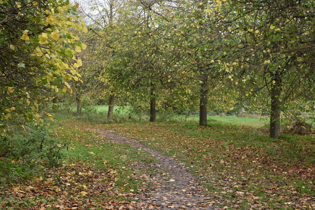
The estate surrounding Luddesdown Court is equally impressive, featuring well-manicured gardens, ancient woodland, and a picturesque moat. The site is also associated with various legends and folklore, including tales of hidden tunnels and ghostly apparitions.
Today, Luddesdown Court is open to the public and serves as a venue for weddings, events, and guided tours. Visitors can explore the historic building and its grounds, marvel at the stunning architecture, and learn about the rich history of this remarkable heritage site. Luddesdown Court stands as a testament to the region's past and continues to captivate visitors with its beauty and historical significance.
If you have any feedback on the listing, please let us know in the comments section below.
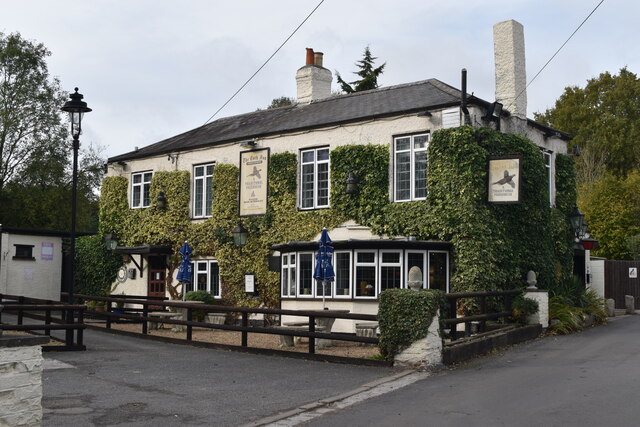
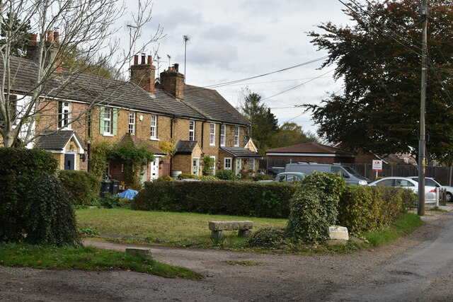
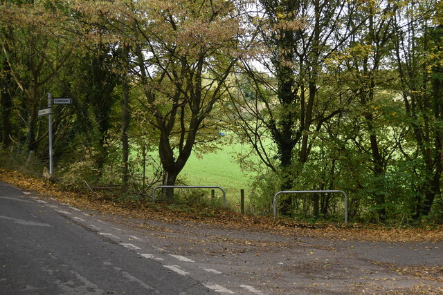
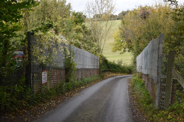
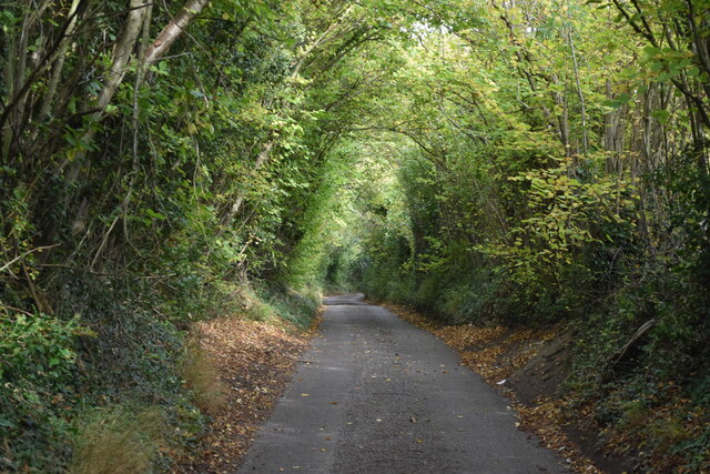
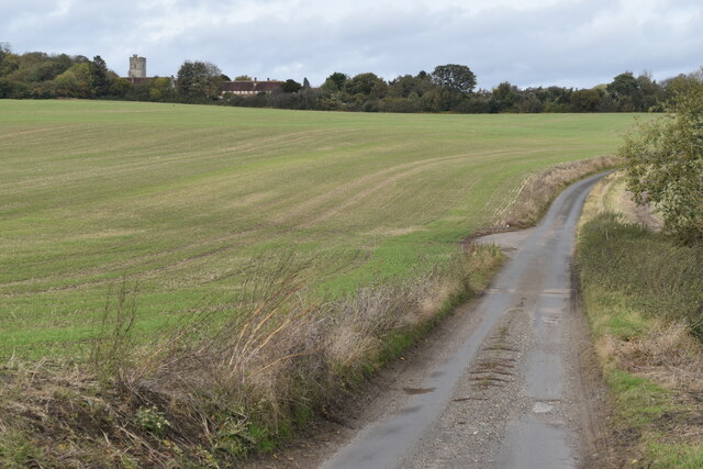
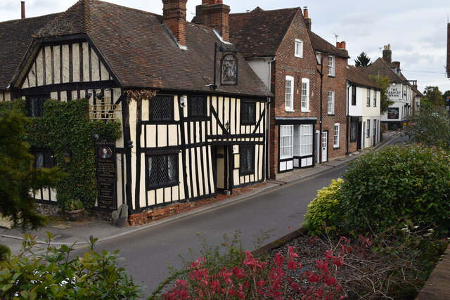
Luddesdown Court Images
Images are sourced within 2km of 51.373/0.392 or Grid Reference TQ6666. Thanks to Geograph Open Source API. All images are credited.
Luddesdown Court is located at Grid Ref: TQ6666 (Lat: 51.373, Lng: 0.392)
Administrative County: Kent
District: Gravesham
Police Authority: Kent
What 3 Words
///junior.clown.void. Near Meopham, Kent
Nearby Locations
Related Wikis
Luddesdown
Luddesdown () is a civil parish in the Gravesham District of Kent, England. == Geography == This very rural parish, forming part of the North Downs Area...
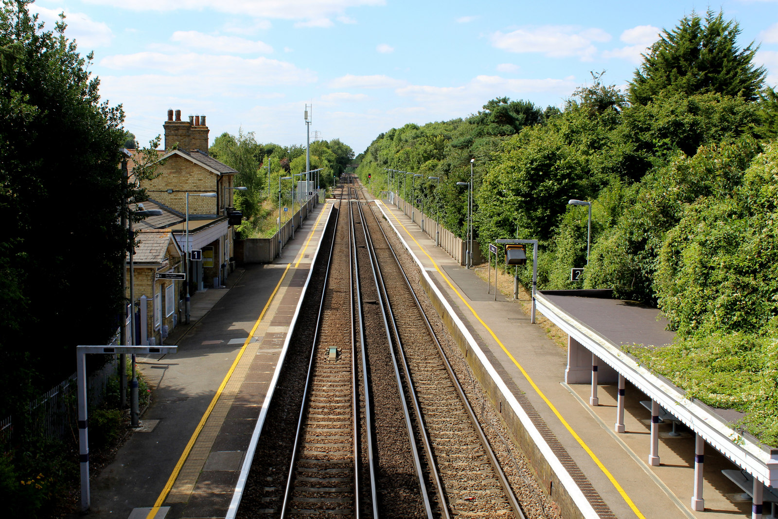
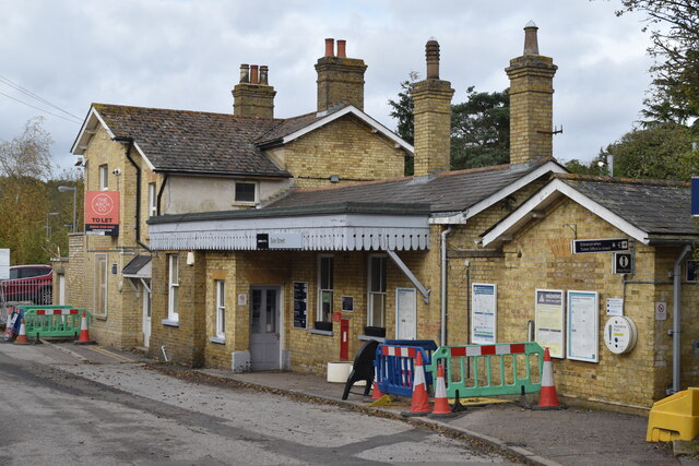
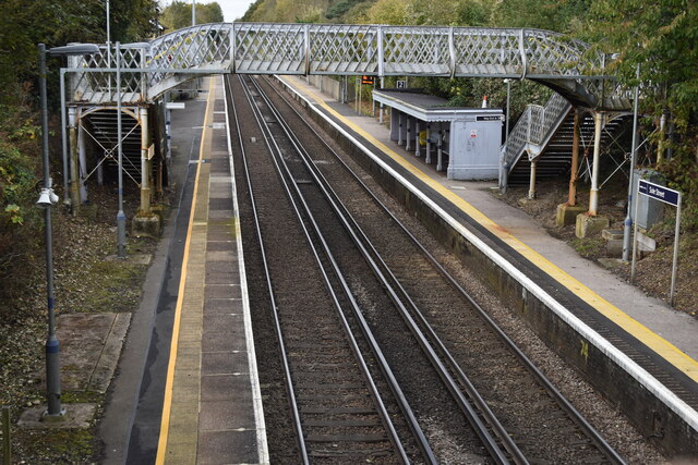
Sole Street railway station
Sole Street railway station is on the Chatham Main Line in England, serving the village of Sole Street, near Cobham, Kent. It is 26 miles 71 chains (43...

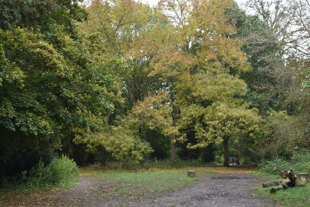
Camer Park Country Park
Camer Country Park is in Meopham, in Kent, England. It is a former estate landscape, with grassland and woodland. == History == This park was originally...

Cobham, Kent
Cobham () is a village and civil parish in the borough of Gravesham in Kent, England. The village is located 6 miles (10 km) south-east of Gravesend,...

Owletts
Owletts is a country house 0.8 miles (1.3 km) to the northwest of the village of Cobham in Kent, England. It is a Grade II* listed building owned by the...

Meopham
Meopham is a large linear village and civil parish in the Borough of Gravesham in north-west Kent, England, lying to the south of Gravesend. The parish...

Meopham School
Meopham School is a Coeducational secondary school with approximately 950 students, located in Meopham, Kent, England, UK. The school is non-selective...

Meopham air disaster
The Meopham Air Disaster occurred on 21 July 1930 when a Junkers F.13ge flying from Le Touquet to Croydon with two crew and four passengers crashed near...
Nearby Amenities
Located within 500m of 51.373,0.392Have you been to Luddesdown Court?
Leave your review of Luddesdown Court below (or comments, questions and feedback).