Henley Down
Downs, Moorland in Kent Gravesham
England
Henley Down
Henley Down, located in Kent, England, is a picturesque area encompassing both downs and moorland landscapes. The region is known for its stunning natural beauty and is a popular destination for nature enthusiasts and hikers.
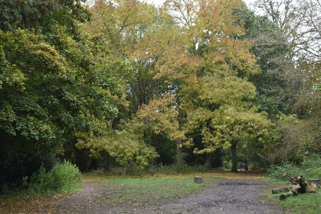
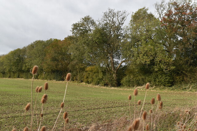
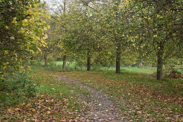
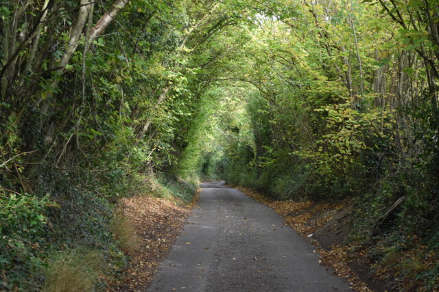
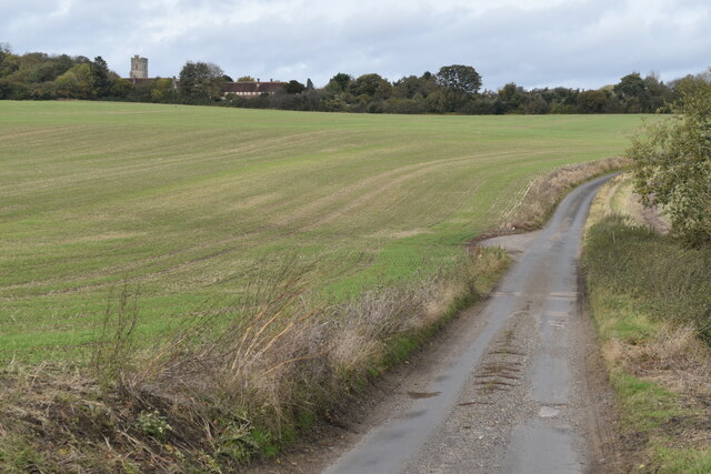
The downs of Henley Down are characterized by rolling hills and grasslands, offering visitors panoramic views of the surrounding countryside. The landscape is dotted with vibrant wildflowers, reflecting the area's rich biodiversity. The downs provide ample opportunities for outdoor activities such as walking, cycling, and horseback riding, with well-maintained trails and paths crisscrossing the area.
In contrast, the moorland of Henley Down offers a distinct ecosystem with its heather-covered hills and open expanses. Moorland birds, such as grouse and curlew, can be spotted here, adding to the area's appeal for birdwatchers. The moorland is also home to various species of wildlife, including rabbits, foxes, and deer, contributing to the region's diverse ecosystem.
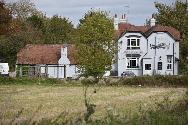
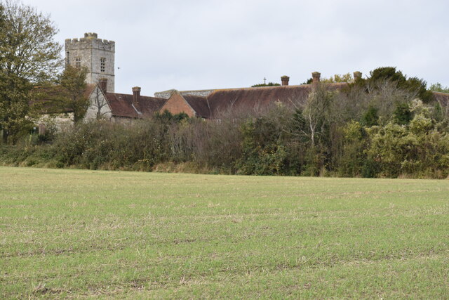
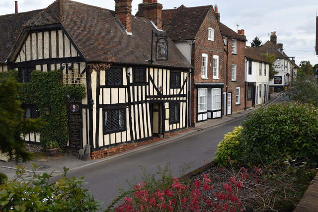
Henley Down benefits from its proximity to the Kent countryside, offering visitors a tranquil and peaceful escape from the hustle and bustle of city life. The area is also within reach of several charming villages and towns, providing opportunities to explore local history, culture, and cuisine.
Overall, Henley Down, Kent, with its combination of downs and moorland landscapes, is a nature lover's paradise, offering breathtaking views, diverse wildlife, and a range of outdoor activities for all to enjoy.
If you have any feedback on the listing, please let us know in the comments section below.
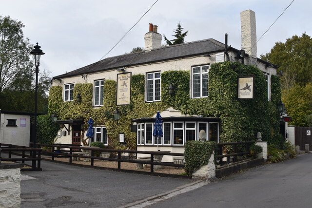
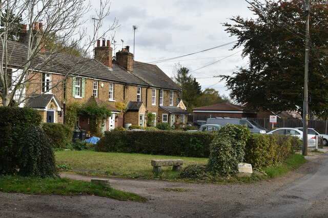
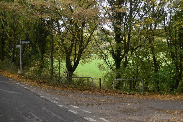
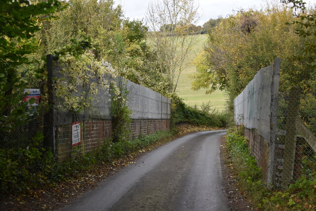
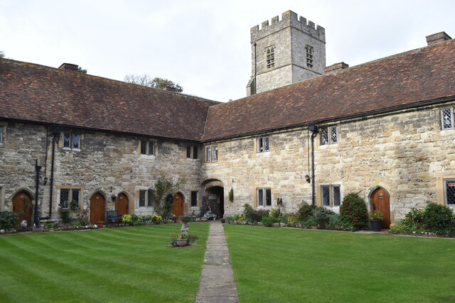
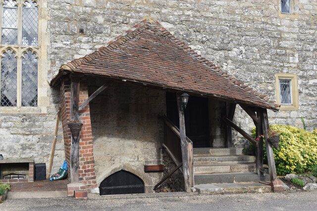
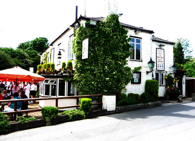
Henley Down Images
Images are sourced within 2km of 51.375091/0.39460694 or Grid Reference TQ6666. Thanks to Geograph Open Source API. All images are credited.
Henley Down is located at Grid Ref: TQ6666 (Lat: 51.375091, Lng: 0.39460694)
Administrative County: Kent
District: Gravesham
Police Authority: Kent
What 3 Words
///rock.flops.wheels. Near Meopham, Kent
Nearby Locations
Related Wikis
Luddesdown
Luddesdown () is a civil parish in the Gravesham District of Kent, England. == Geography == This very rural parish, forming part of the North Downs Area...
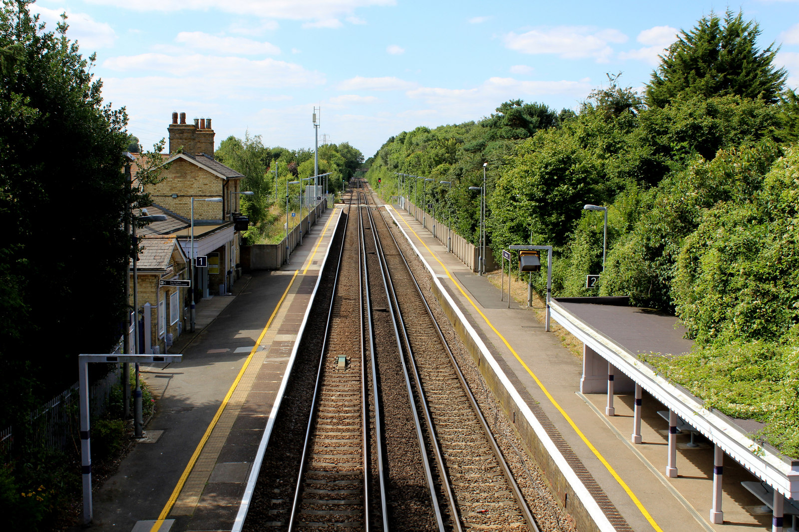
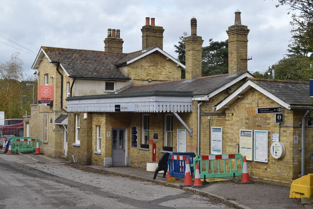
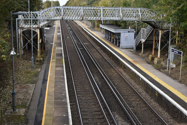
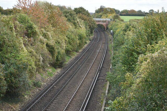
Sole Street railway station
Sole Street railway station is on the Chatham Main Line in England, serving the village of Sole Street, near Cobham, Kent. It is 26 miles 71 chains (43...

Cobham, Kent
Cobham () is a village and civil parish in the borough of Gravesham in Kent, England. The village is located 6 miles (10 km) south-east of Gravesend,...

Camer Park Country Park
Camer Country Park is in Meopham, in Kent, England. It is a former estate landscape, with grassland and woodland. == History == This park was originally...

Owletts
Owletts is a country house 0.8 miles (1.3 km) to the northwest of the village of Cobham in Kent, England. It is a Grade II* listed building owned by the...

Cobham Park (cricket ground)
Cobham Park near Cobham, Kent and located within the grounds of the Cobham Hall estate, was used a cricket ground. It was used as the venue for a single...

Meopham School
Meopham School is a Coeducational secondary school with approximately 950 students, located in Meopham, Kent, England, UK. The school is non-selective...

Meopham
Meopham is a large linear village and civil parish in the Borough of Gravesham in north-west Kent, England, lying to the south of Gravesend. The parish...
Nearby Amenities
Located within 500m of 51.375091,0.39460694Have you been to Henley Down?
Leave your review of Henley Down below (or comments, questions and feedback).