Coire na Capuill
Corrie (Glacial Valley) in Argyllshire
Scotland
Coire na Capuill
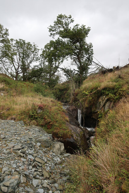
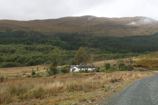
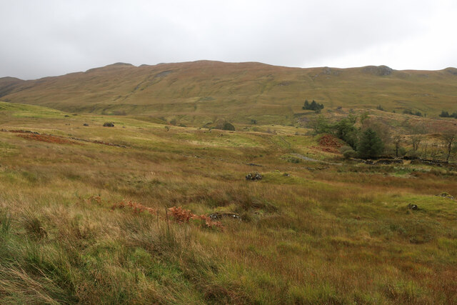
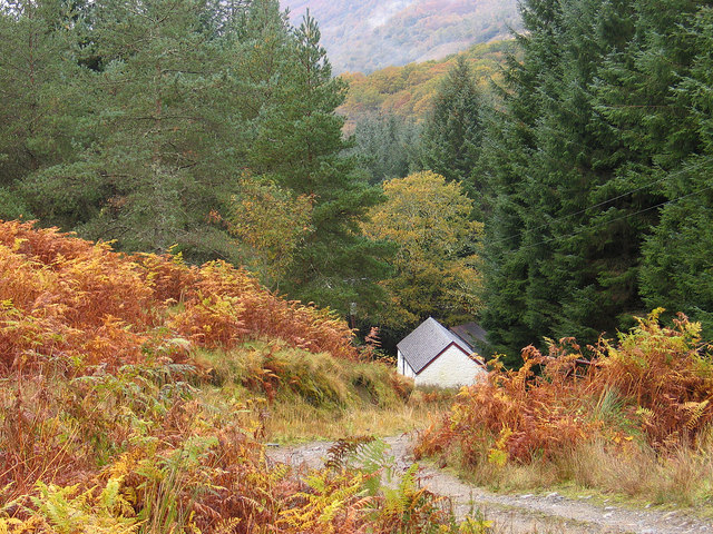
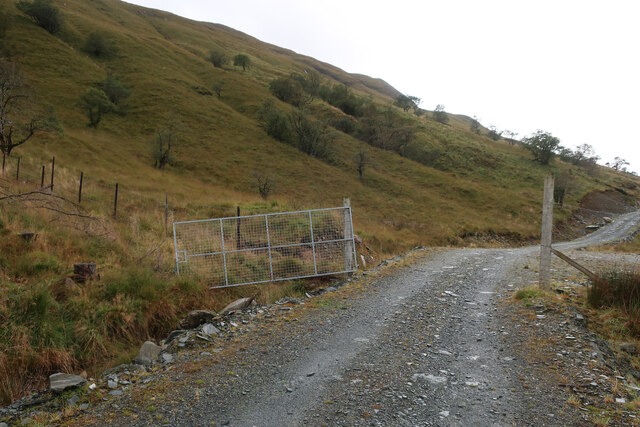
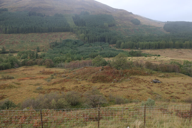
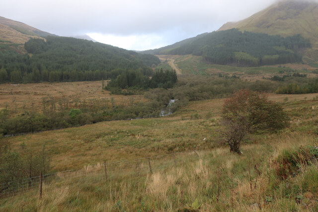
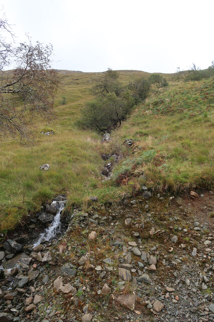
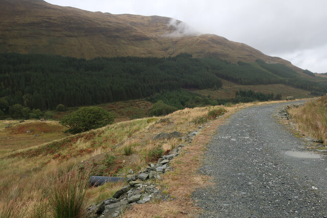
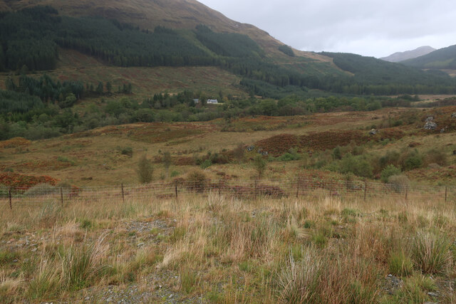
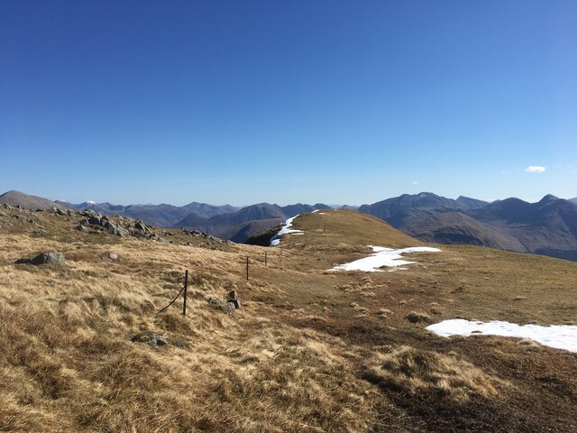
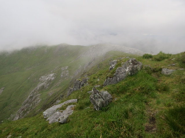
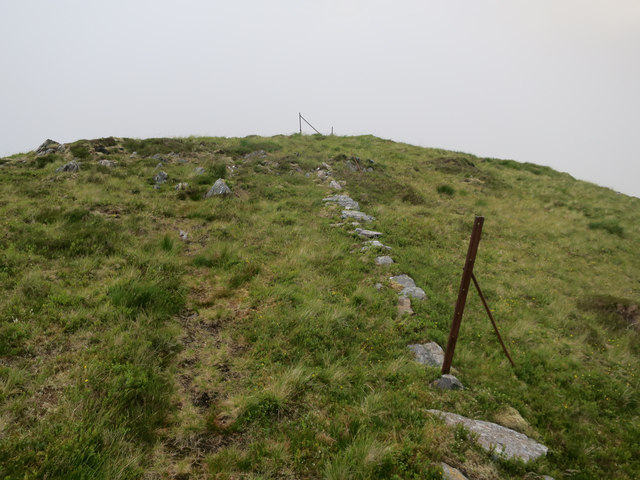
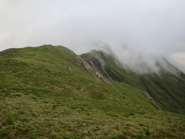
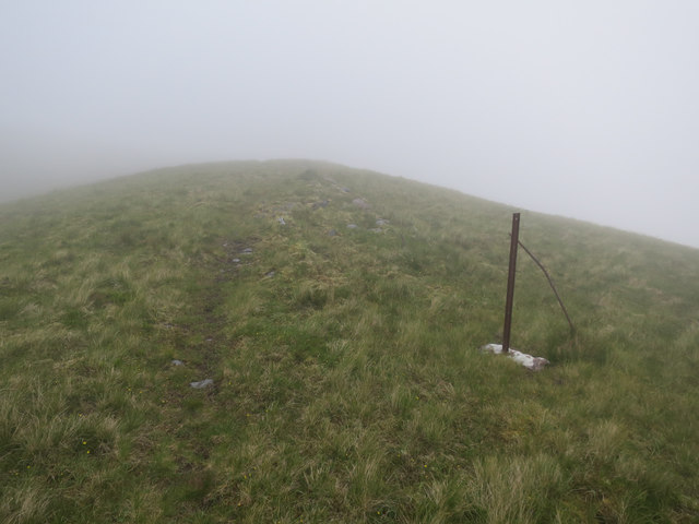
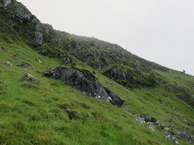
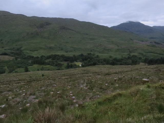
Coire na Capuill is a glacial valley located in Argyllshire, Scotland. The valley is situated in a remote and rugged area, surrounded by steep mountain slopes and rocky cliffs. The name "Coire na Capuill" translates to "Corrie of the Horses" in English.
This glacial valley was formed during the last Ice Age, when glaciers carved out the landscape, leaving behind a deep, U-shaped valley. Today, Coire na Capuill is known for its stunning natural beauty, with dramatic scenery and breathtaking views of the surrounding mountains.
The valley is home to a variety of wildlife, including red deer, mountain hares, and birds of prey. It is also a popular destination for hikers and outdoor enthusiasts, who come to explore the rugged terrain and experience the peaceful solitude of the remote wilderness.
Overall, Coire na Capuill is a picturesque and tranquil spot in the Scottish Highlands, offering visitors a chance to connect with nature and immerse themselves in the beauty of the natural world.
If you have any feedback on the listing, please let us know in the comments section below.
Coire na Capuill Images
Images are sourced within 2km of 56.618133/-5.1799828 or Grid Reference NN0451. Thanks to Geograph Open Source API. All images are credited.
Coire na Capuill is located at Grid Ref: NN0451 (Lat: 56.618133, Lng: -5.1799828)
Unitary Authority: Argyll and Bute
Police Authority: Argyll and West Dunbartonshire
What 3 Words
///flukes.denser.dressings. Near Glencoe, Highland
Nearby Locations
Related Wikis

Fraochaidh
Fraochaidh (879 m) is a mountain in the Grampian Mountains, located between Glen Coe and Oban on the west coast of Scotland. It lies on the border of Highland...

Beinn a' Bheithir
Beinn a' Bheithir (Scottish Gaelic for 'mountain of the beast' / 'mountain of the thunderbolt') is a mountain south of Ballachulish and Loch Leven in the...

Beinn Fhionnlaidh (Creran)
Beinn Fhionnlaidh is a mountain in the West Highlands of Scotland. It is situated between Glen Etive and Glen Creran, to the south of Glen Coe. == References ==

Achindarroch
Achadh nan Darach (English: Achindarroch or Achnandarach) is a hamlet in Highland, Scotland. It lies near the banks of Loch Linnhe on the A828 road, just...
Nearby Amenities
Located within 500m of 56.618133,-5.1799828Have you been to Coire na Capuill?
Leave your review of Coire na Capuill below (or comments, questions and feedback).