Coire Tamhnachan
Corrie (Glacial Valley) in Argyllshire
Scotland
Coire Tamhnachan
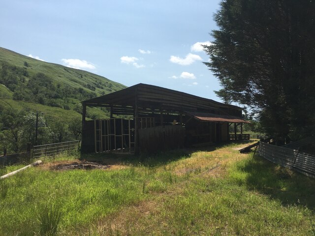
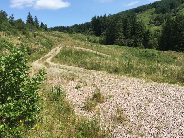
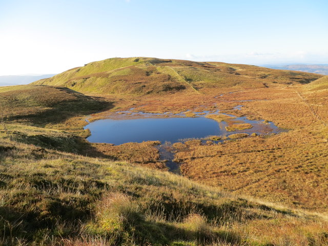
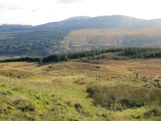
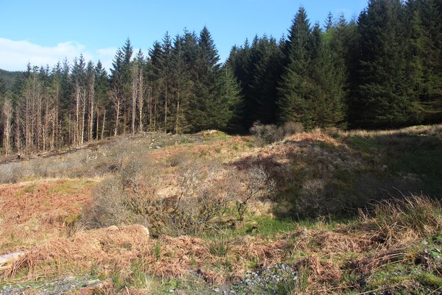
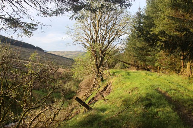
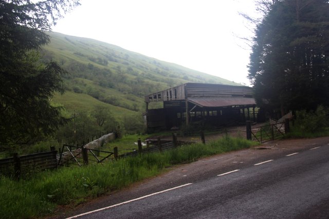
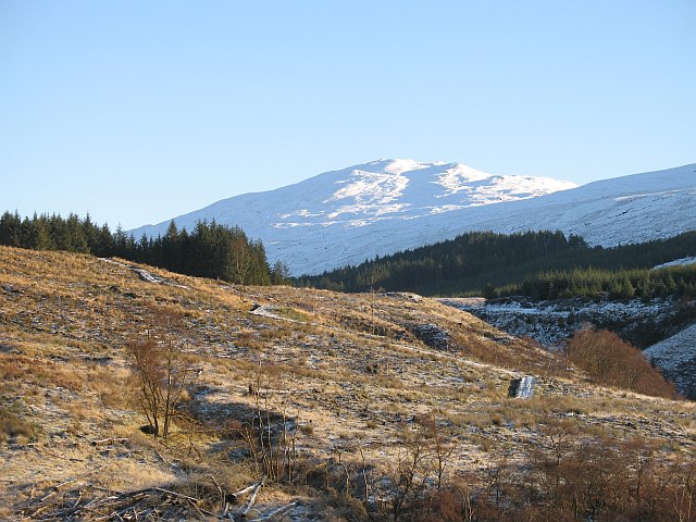
Coire Tamhnachan is a glacial valley located in Argyllshire, Scotland. The valley is situated within the scenic and rugged landscape of the Scottish Highlands, surrounded by steep, rocky slopes and towering mountains. The valley was formed during the last Ice Age, when glaciers carved out the landscape, leaving behind deep, U-shaped valleys like Coire Tamhnachan.
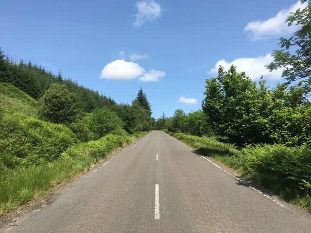
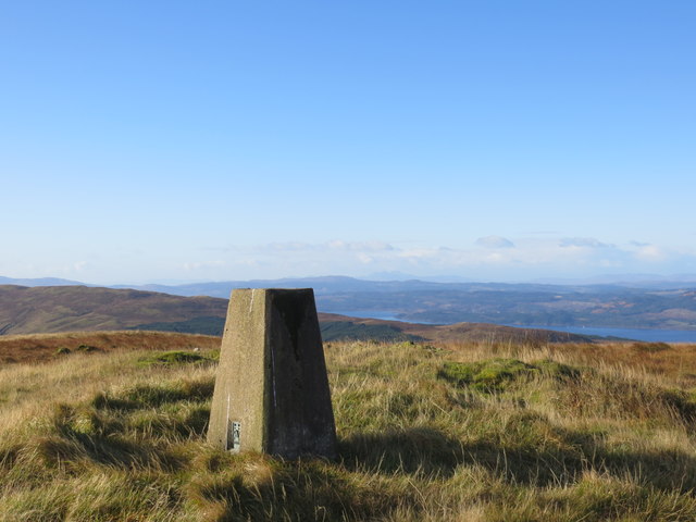
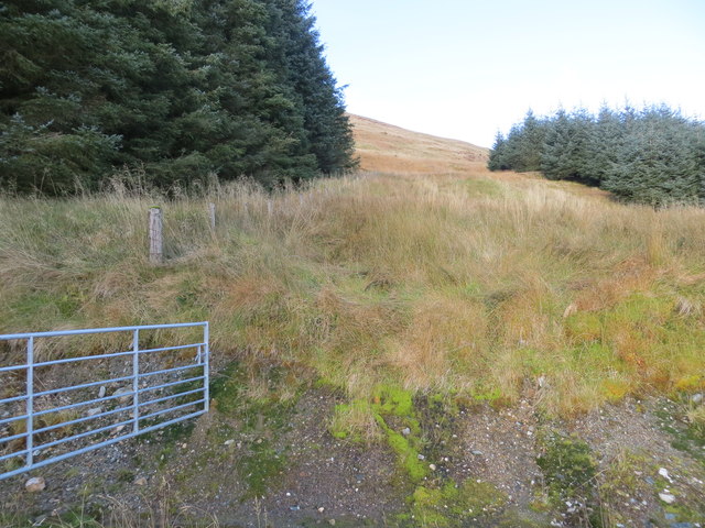
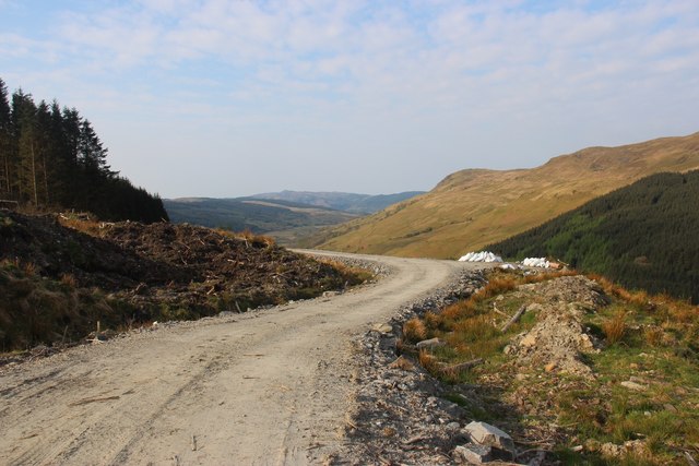
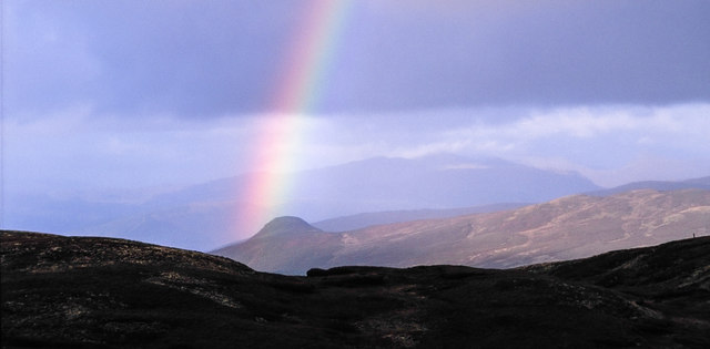
The valley is characterized by its dramatic and picturesque scenery, with a river running through the bottom of the valley and lush, green vegetation covering the slopes. Coire Tamhnachan is a popular destination for hikers and outdoor enthusiasts, who come to explore the rugged terrain and take in the stunning views of the surrounding mountains.
The valley is home to a variety of wildlife, including deer, birds of prey, and other native species. Visitors to Coire Tamhnachan can enjoy hiking, birdwatching, and photography, as well as camping and picnicking in the beautiful natural surroundings.
Overall, Coire Tamhnachan is a stunning example of the natural beauty and diversity of the Scottish Highlands, offering visitors a unique and memorable outdoor experience.
If you have any feedback on the listing, please let us know in the comments section below.
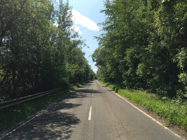
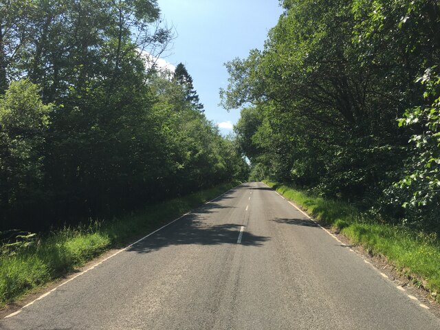
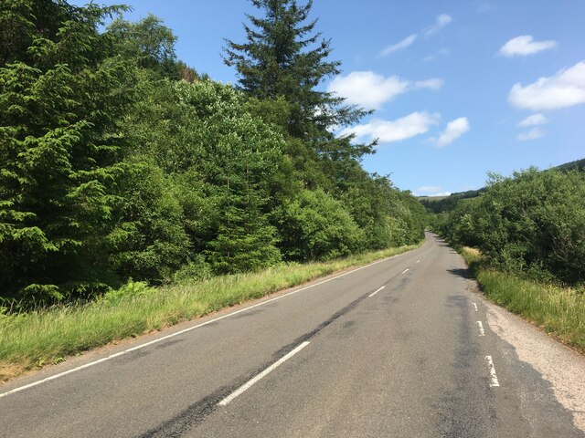
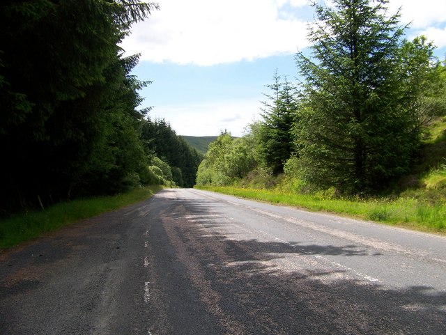
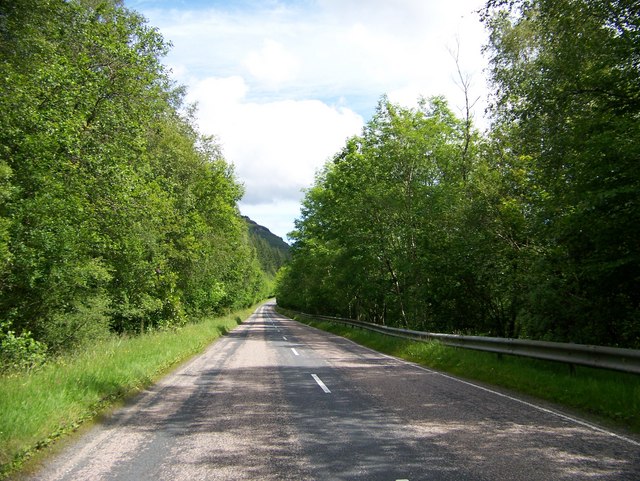
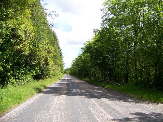
Coire Tamhnachan Images
Images are sourced within 2km of 56.096444/-5.1350573 or Grid Reference NS0593. Thanks to Geograph Open Source API. All images are credited.
Coire Tamhnachan is located at Grid Ref: NS0593 (Lat: 56.096444, Lng: -5.1350573)
Unitary Authority: Argyll and Bute
Police Authority: Argyll and West Dunbartonshire
What 3 Words
///mended.waxing.insisting. Near Inveraray, Argyll & Bute
Nearby Locations
Related Wikis

Dunans Bridge
Dunans Bridge is a category A-listed structure, designed by Thomas Telford. It is located at Dunans Castle on the Cowal peninsula in Argyll, Scotland....

River Ruel
River Ruel is a watercourse in Argyll and Bute, Scotland. Around 9 miles (14 km) long, it flows into Loch Ruel (also known as Loch Riddon).The river passes...

New Castle Lachlan
New Castle Lachlan, is an 18th-century baronial mansion or country house located at Strathlachlan, Cowal peninsula, Argyll and Bute, Scotland. It was built...
Creag Tharsuinn
Creag Tharsuinn (643 m) is a mountain in the Arrochar Alps of Scotland. It lies in the Cowal peninsula, Argyll and Bute. Taking the form of a long ridge...
Nearby Amenities
Located within 500m of 56.096444,-5.1350573Have you been to Coire Tamhnachan?
Leave your review of Coire Tamhnachan below (or comments, questions and feedback).