Coire Dearg
Valley in Argyllshire
Scotland
Coire Dearg
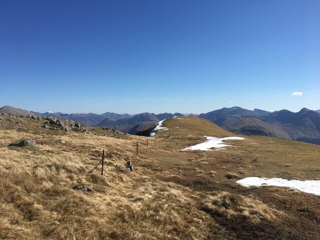
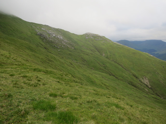
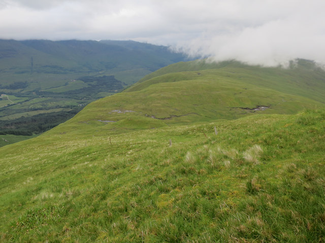
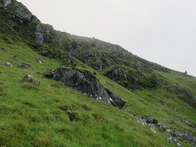
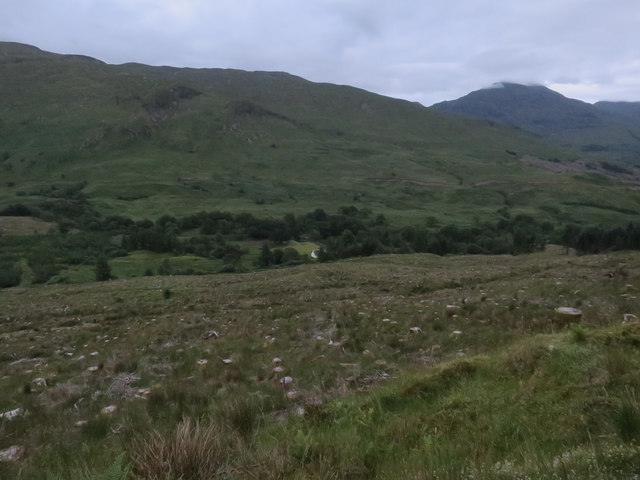
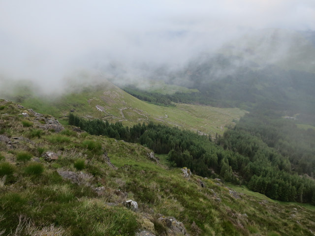
Coire Dearg, located in Argyllshire, Scotland, is a picturesque valley renowned for its stunning natural beauty and diverse wildlife. Surrounded by majestic mountains and lush greenery, it is a popular destination among nature enthusiasts and hikers.
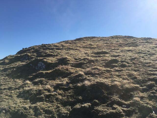
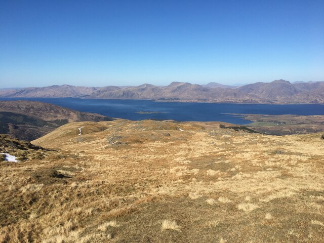
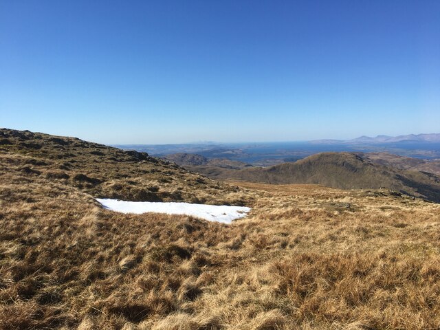
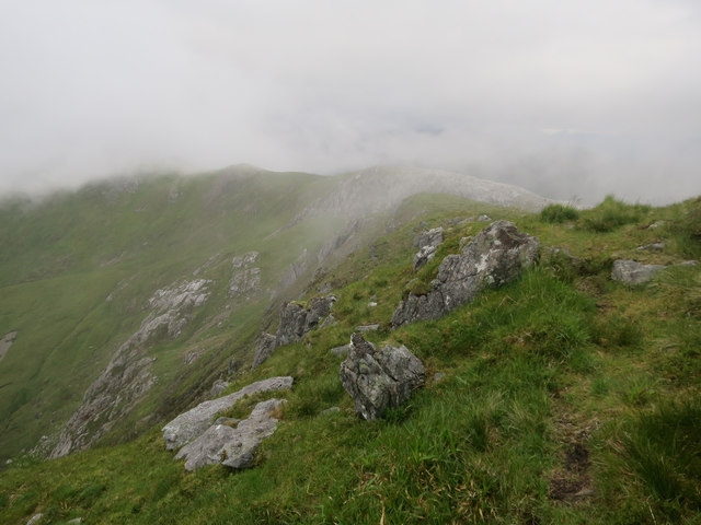
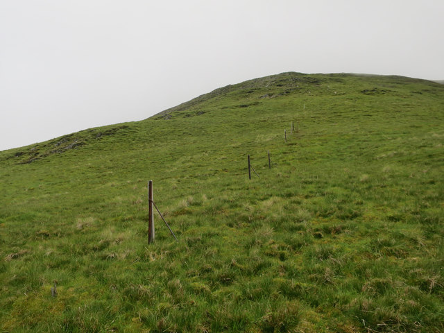
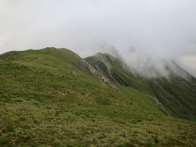
The valley is characterized by its rugged terrain and steep slopes, which were carved out by glaciers during the last Ice Age. This geological history gives Coire Dearg a unique and dramatic landscape, with towering peaks and deep valleys. The most prominent mountain in the area is Beinn a' Bheithir, standing at an impressive height of 3,822 feet (1,165 meters).
The valley is home to a wide range of wildlife, including red deer, mountain hares, and various bird species such as golden eagles and peregrine falcons. The diverse habitats within Coire Dearg support a rich ecosystem, making it a haven for nature lovers and birdwatchers.
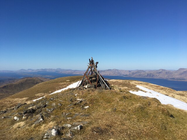
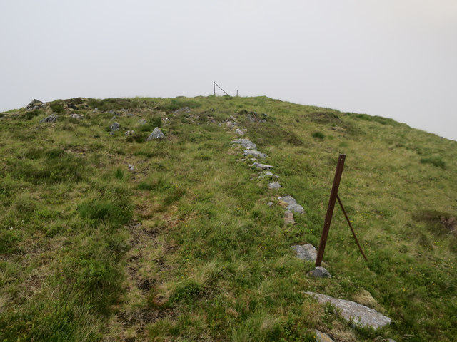
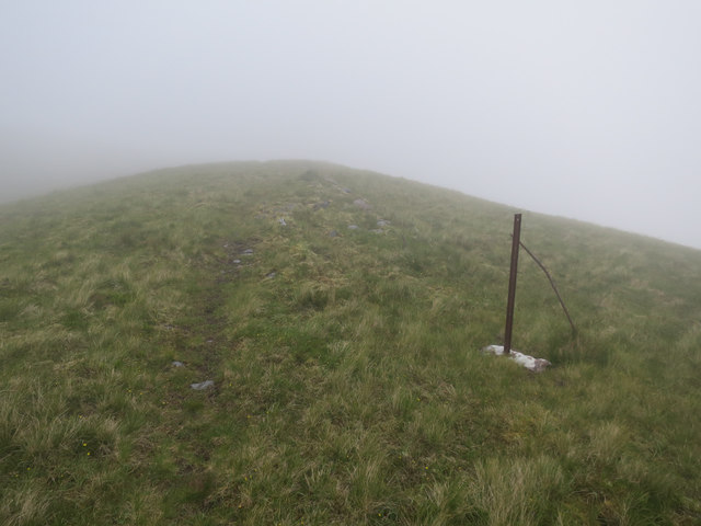
For outdoor enthusiasts, Coire Dearg offers numerous opportunities for hiking, mountaineering, and rock climbing. The valley boasts several well-marked trails that cater to different skill levels, providing breathtaking views of the surrounding mountains and lochs.
In addition to its natural attractions, Coire Dearg is steeped in history and folklore. The area is known for its ancient standing stones and burial cairns, adding an air of mystique and intrigue to the valley.
Overall, Coire Dearg is a captivating destination that showcases the raw beauty of the Scottish Highlands. It offers a perfect blend of adventure, tranquility, and natural wonders, making it an ideal spot for explorers and nature enthusiasts alike.
If you have any feedback on the listing, please let us know in the comments section below.
Coire Dearg Images
Images are sourced within 2km of 56.618307/-5.195291 or Grid Reference NN0451. Thanks to Geograph Open Source API. All images are credited.


Coire Dearg is located at Grid Ref: NN0451 (Lat: 56.618307, Lng: -5.195291)
Unitary Authority: Argyll and Bute
Police Authority: Argyll and West Dunbartonshire
What 3 Words
///splinters.takeovers.ending. Near Glencoe, Highland
Nearby Locations
Related Wikis

Fraochaidh
Fraochaidh (879 m) is a mountain in the Grampian Mountains, located between Glen Coe and Oban on the west coast of Scotland. It lies on the border of Highland...

Beinn a' Bheithir
Beinn a' Bheithir (Scottish Gaelic for 'mountain of the beast' / 'mountain of the thunderbolt') is a mountain south of Ballachulish and Loch Leven in the...

Achindarroch
Achadh nan Darach (English: Achindarroch or Achnandarach) is a hamlet in Highland, Scotland. It lies near the banks of Loch Linnhe on the A828 road, just...

Duror
Duror (Scottish Gaelic: An Dùrar, meaning hard water), occasionally Duror of Appin, is a small, remote coastal village that sits at the base of Glen Duror...

Beinn Fhionnlaidh (Creran)
Beinn Fhionnlaidh is a mountain in the West Highlands of Scotland. It is situated between Glen Etive and Glen Creran, to the south of Glen Coe. == References ==

Beinn Sgulaird
Beinn Sgulaird or Beinn Sguiliaird is a mountain in the Lorn region of the Scottish Highlands, between Glen Creran and Glen Etive. It has a height of 937...

Duror railway station
Duror was a railway station on Cuil Bay on the east shore of Loch Linnhe at Keil, south of Duror, in Highland region. It was on the Ballachulish branch...

Kentallen railway station
Kentallen was a railway station at the head of Kentallen Bay, which is on the southern shore of Loch Linnhe in the Highland council area of Scotland. It...
Related Videos
Cold British Weather at the Fairy Bridge of Glen Cretan Scotland | British and Filipino Travel Vlog
Get to know more here https://www.patreon.com/AdventuresOfaFilipina We love traveling whether in tropical countries or in ...
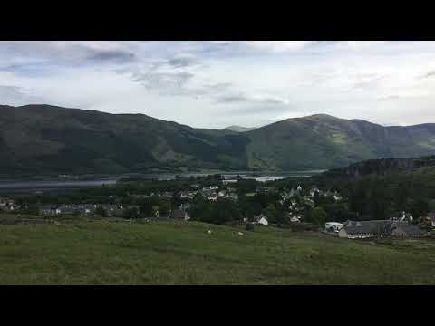
Beinn a'Bheithir by Ballachulish, Glencoe Scotland - JUNE 2017
Beinn a'Bheithir mountain looking over Ballachulish and Glencoe in the Scottish Highlands.
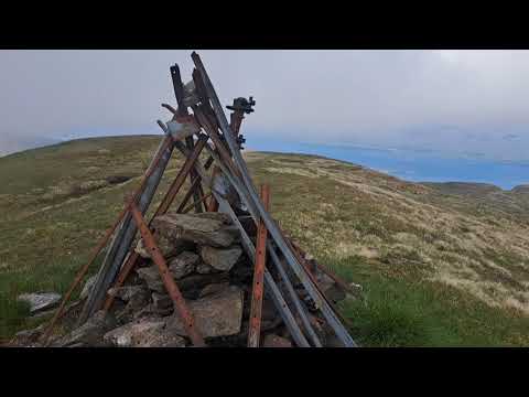
Fraochaidh summit view
Panoramic view from the top of Fraochaidh.
Nearby Amenities
Located within 500m of 56.618307,-5.195291Have you been to Coire Dearg?
Leave your review of Coire Dearg below (or comments, questions and feedback).