Coire an Lochain
Corrie (Glacial Valley) in Inverness-shire
Scotland
Coire an Lochain

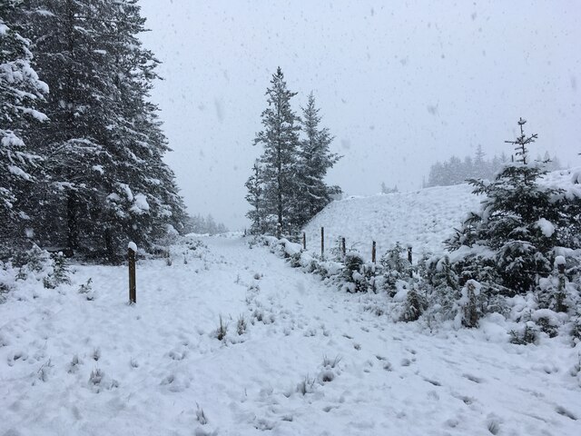
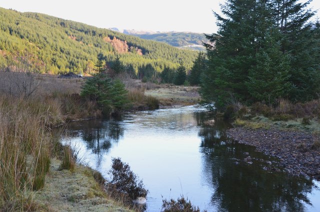
Coire an Lochain, located in Inverness-shire, Scotland, is a picturesque glacial valley commonly known as Corrie. It is situated in the Cairngorms National Park, one of the most stunning landscapes in the United Kingdom. The coire is surrounded by towering mountains, including Cairn Gorm, which stands at an impressive 1,245 meters (4,085 feet) high.
The formation of Coire an Lochain can be attributed to the past glaciations that shaped the region. As the glaciers retreated, they left behind a deep, steep-sided valley with a characteristic U-shaped cross-section. This unique topography is a result of the erosive power of ice, which carved out the valley over thousands of years.
The coire is named after the lochain (small loch or lake) that occupies its base. The crystal-clear waters of the lochain reflect the surrounding mountains, creating a breathtakingly beautiful scene. The area is known for its rich flora and fauna, with a variety of plant species, including heather, mosses, and grasses, thriving in the valley.
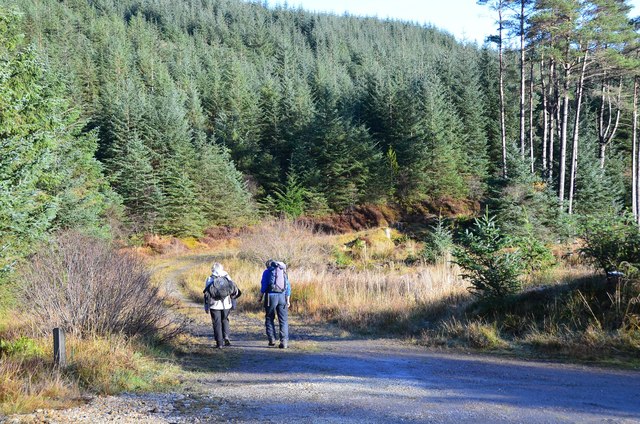
Coire an Lochain is a popular destination for outdoor enthusiasts, attracting hikers, climbers, and nature lovers. Its proximity to Cairn Gorm, the sixth-highest mountain in Scotland, makes it an ideal starting point for mountain expeditions. The coire also offers opportunities for wildlife spotting, with the possibility of encountering deer, mountain hares, and various bird species.
Visitors to Coire an Lochain can enjoy stunning panoramic views of the surrounding landscape, immersing themselves in the natural beauty of the Scottish Highlands. Whether one seeks adventure or tranquility, this glacial valley provides an unforgettable experience for all who venture into its enchanting embrace.
If you have any feedback on the listing, please let us know in the comments section below.
Coire an Lochain Images
Images are sourced within 2km of 56.733512/-5.1900556 or Grid Reference NN0464. Thanks to Geograph Open Source API. All images are credited.


Coire an Lochain is located at Grid Ref: NN0464 (Lat: 56.733512, Lng: -5.1900556)
Unitary Authority: Highland
Police Authority: Highlands and Islands
What 3 Words
///obtain.advising.staging. Near Glencoe, Highland
Nearby Locations
Related Wikis

Beinn na Gucaig
Beinn na Gucaig (616 m) is a mountain in the Grampian Mountains of Scotland, located south of Fort William in Lochaber. The peak takes up much of the eastern...

Inchree
Inchree (Scottish Gaelic: Innis an Ruighe) is a small hamlet, situated at the northern end of the village of Onich. It is 7 miles south of the town of...

Corran Ferry
The Corran Ferry crosses Loch Linnhe at the Corran Narrows, south of Fort William, Scotland. == Description == Operated by Highland Council, the Corran...
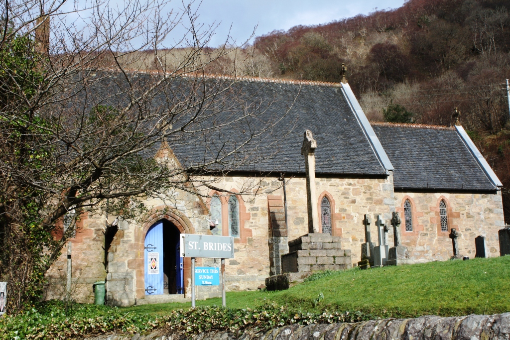
St Bride's Church, Onich
St Bride's Church (alternatively, Saint Brigid of Kildare Church) is an Episcopal parish church in North Ballachulish in the Scottish Highlands, within...
Related Videos
Day out at inchree falls
Why take the tourist path when you can make your own adventure trail with a day out at inchree falls #scotland #travel #explore ...

INCHREE WEEKEND 2 - AT INCHREE meeting COLIN and meeting MARK and CORAL @HitchUpAndTow
INCHREE WEEKEND 2 - AT INCHREE meeting COLIN and meeting MARK and CORAL @HitchUpAndTow 8 Oct 2021 We have ...

Nearby Amenities
Located within 500m of 56.733512,-5.1900556Have you been to Coire an Lochain?
Leave your review of Coire an Lochain below (or comments, questions and feedback).