Easton Marshes
Coastal Marsh, Saltings in Suffolk East Suffolk
England
Easton Marshes
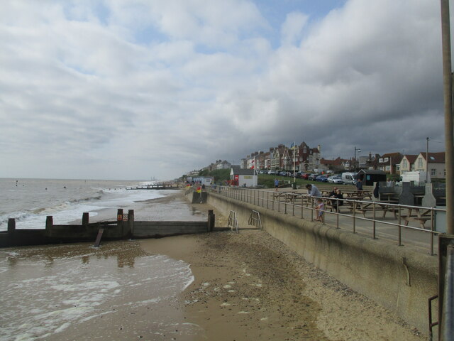
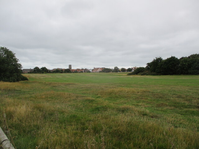
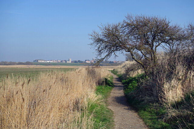
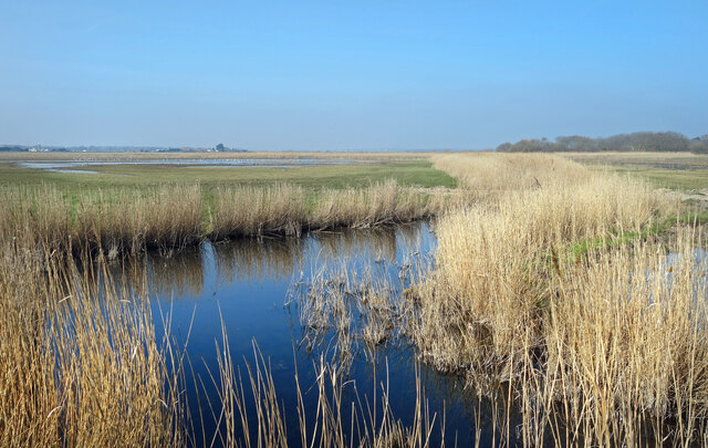
Easton Marshes, located in Suffolk, England, is a picturesque coastal marshland known for its unique ecosystem and stunning natural beauty. Stretching across an area of approximately 600 hectares, these marshes are situated along the eastern bank of the River Deben Estuary, forming part of an extensive network of saltmarshes and mudflats.
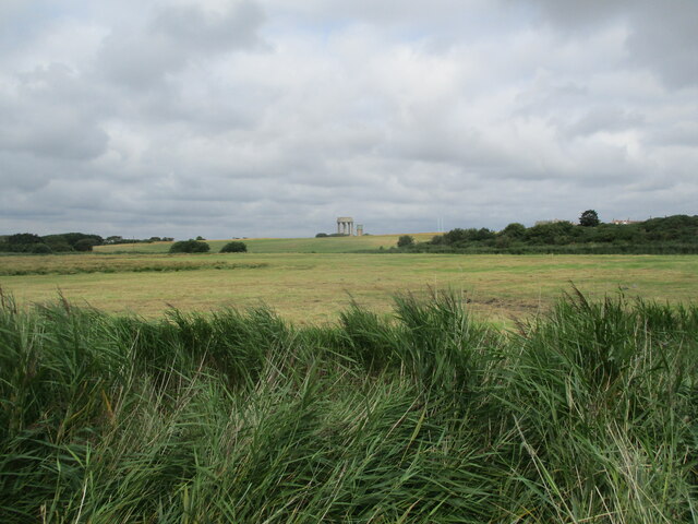
The landscape of Easton Marshes is characterized by its vast expanses of tidal mudflats, salt marshes, and reed beds, making it an important habitat for a diverse range of flora and fauna. The marshes boast a rich assortment of plant species, including sea lavender, samphire, and sea aster, which thrive in the brackish waters and saline conditions. These plants attract a wide array of bird species, making the marshes a haven for birdwatchers. Visitors can spot numerous wading birds, such as redshanks, curlews, and oystercatchers, as well as migratory species like avocets and black-tailed godwits during the appropriate seasons.
In addition to its avian residents, Easton Marshes is also home to a variety of other wildlife. Mammals like otters and water voles can be found along the riverbanks, while the waterways themselves are inhabited by numerous fish species, such as eels and flounders. The marshes also provide an important feeding ground for seals, which can often be spotted basking on the mudflats during low tide.
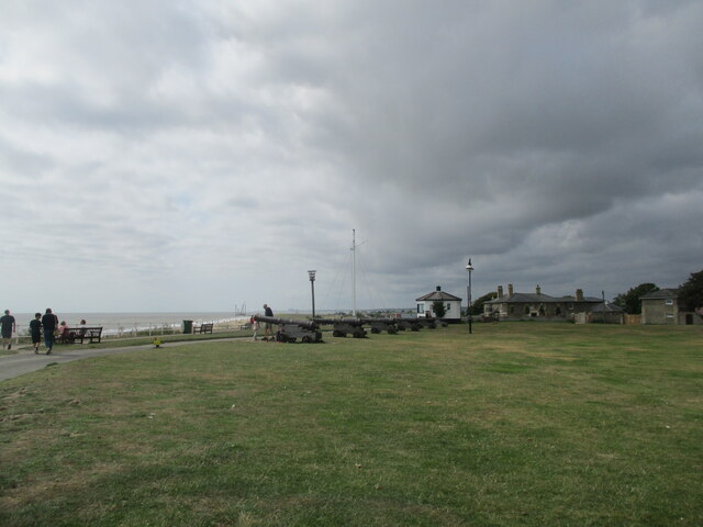
Easton Marshes offers visitors a chance to experience the tranquility and beauty of a coastal marshland. With its diverse range of wildlife and stunning vistas, it serves as an important conservation area, contributing to the preservation of Suffolk's coastal ecosystems.
If you have any feedback on the listing, please let us know in the comments section below.
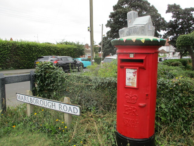
Easton Marshes Images
Images are sourced within 2km of 52.334662/1.6846467 or Grid Reference TM5177. Thanks to Geograph Open Source API. All images are credited.

Easton Marshes is located at Grid Ref: TM5177 (Lat: 52.334662, Lng: 1.6846467)
Administrative County: Suffolk
District: East Suffolk
Police Authority: Suffolk
What 3 Words
///absorb.intruded.perch. Near Southwold, Suffolk
Nearby Locations
Related Wikis
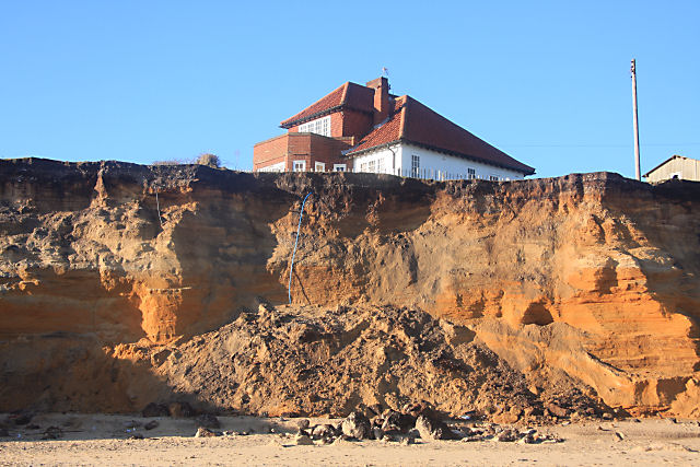
Easton Bavents
Easton Bavents is a hamlet and former civil parish, now in the parish of Reydon, in the East Suffolk district of the county of Suffolk, England. Once an...

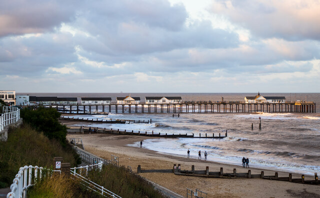
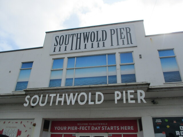
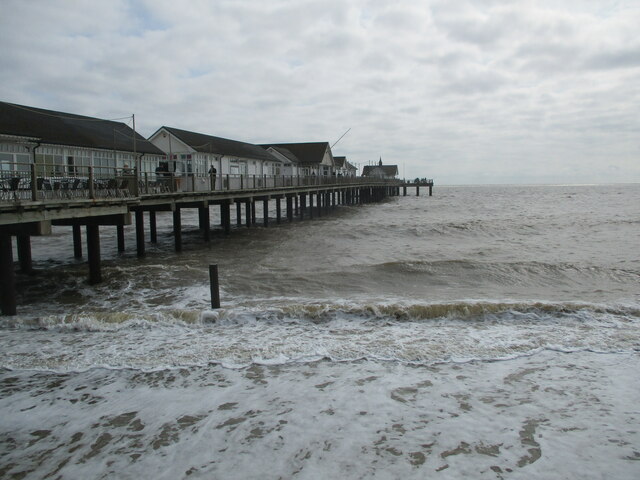
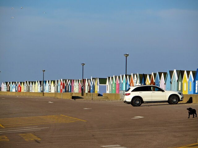
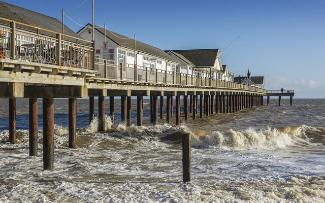
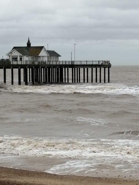
Southwold Pier
Southwold Pier is a pier in the coastal town of Southwold in the English county of Suffolk. It is on the northern edge of the town and extends 190 metres...

Southwold railway station
Southwold railway station was located in Southwold, Suffolk. It closed in 1929, 50 years after it had opened for passenger traffic. The station was demolished...

St Edmund's Church, Southwold
St Edmund's Church, Southwold is a Grade I listed parish church in the Church of England in Southwold, Suffolk. == History == The parish church of Southwold...

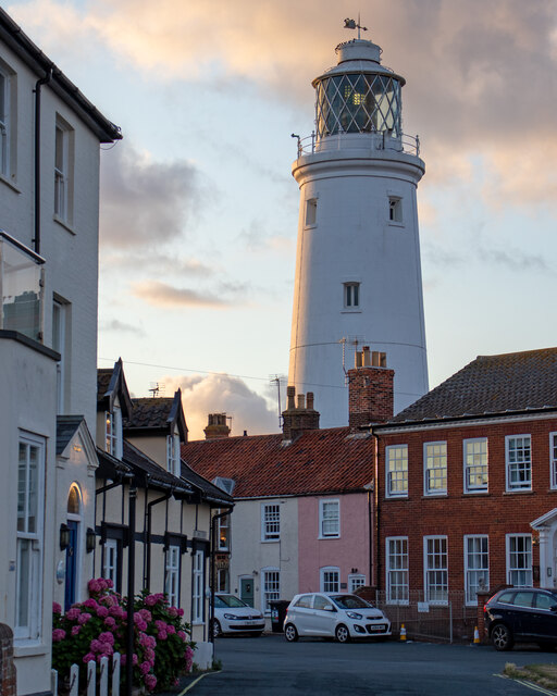
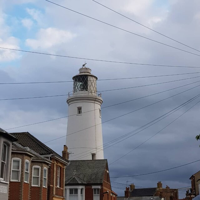
Southwold Lighthouse
Southwold Lighthouse is a lighthouse operated by Trinity House in the centre of Southwold in Suffolk, England. It stands on the North Sea coast, acting...
Adnams
Adnams is a regional brewery founded in 1872 in Southwold, Suffolk, England, by George and Ernest Adnams. It produces cask ale and bottled beers. Annual...
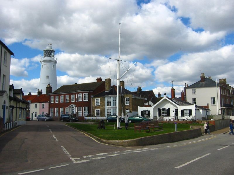
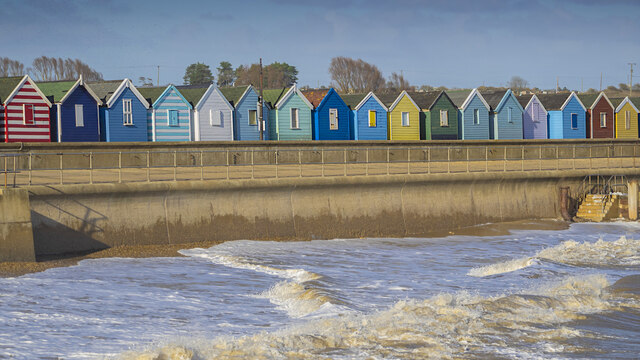
Southwold
Southwold is a seaside town on the North Sea in Suffolk, England. It lies at the mouth of the River Blyth in the Suffolk Coast and Heaths Area of Outstanding...
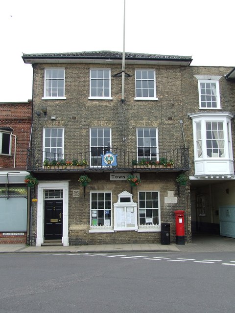
Southwold Town Hall
Southwold Town Hall is a municipal building in the Market Place in Southwold, Suffolk, England. The building, which is the meeting place of Southwold Town...
Nearby Amenities
Located within 500m of 52.334662,1.6846467Have you been to Easton Marshes?
Leave your review of Easton Marshes below (or comments, questions and feedback).