Pottersbridge Marshes

Coastal Marsh, Saltings in Suffolk East Suffolk

England

Pottersbridge Marshes

Watering the potatoes
Watering the potatoes Credit: Sandy Gerrard

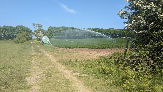
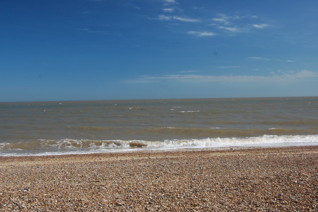
Pottersbridge Marshes, located in Suffolk, England, is a coastal marshland area known for its unique and diverse ecosystem. Situated along the coastline, the marshes are a combination of marshland and saltings, creating a haven for various species of plants and animals.

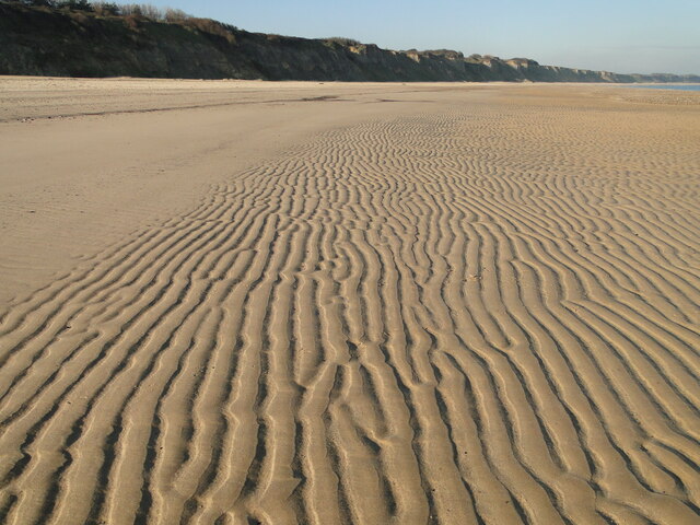
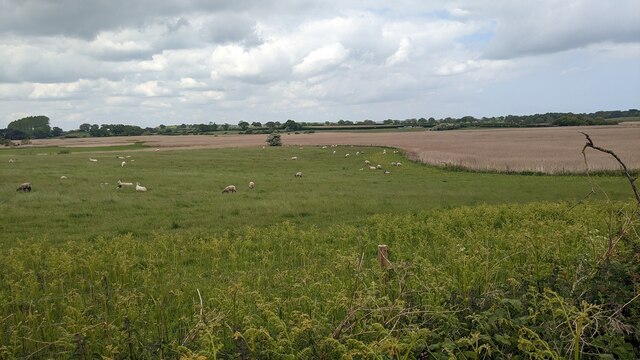
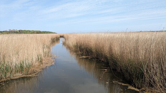
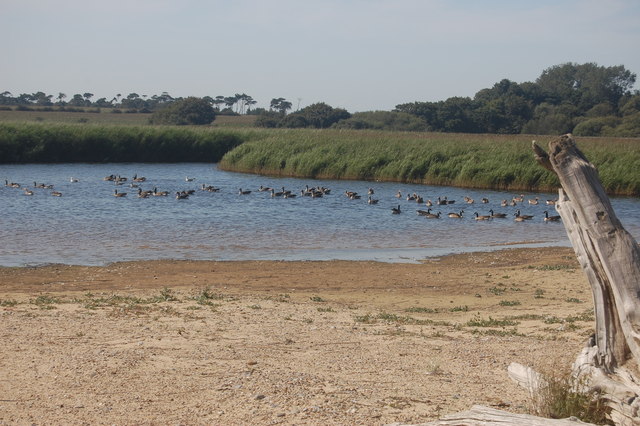
The marshes are characterized by their flat, low-lying terrain, which is periodically flooded by tidal waters from the nearby North Sea. This regular flooding contributes to the creation of saltwater marshes, also known as saltings, which are home to a variety of salt-tolerant plants and animals.

The vegetation in Pottersbridge Marshes is rich and varied, with common species including sea lavender, cordgrass, and samphire. These plants have adapted to the saline conditions, forming dense patches that provide shelter and food for a wide range of wildlife.

The marshes are also an important habitat for many bird species, particularly during the migrating season. Visitors to Pottersbridge Marshes can spot a variety of wading birds, such as avocets, oystercatchers, and redshanks. The area is also frequented by birds of prey, including kestrels and marsh harriers, which can be seen hunting over the marshland.

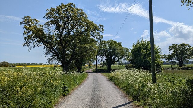
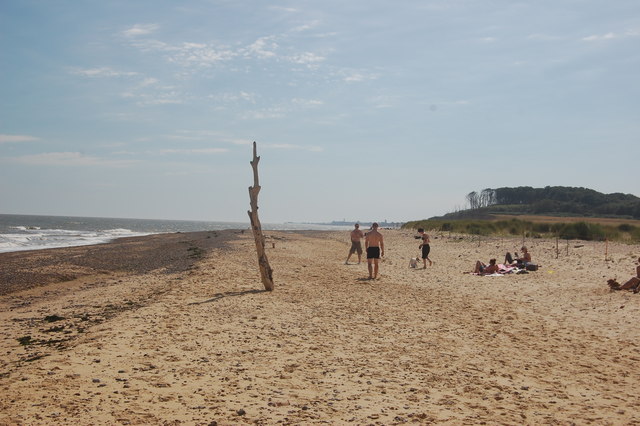
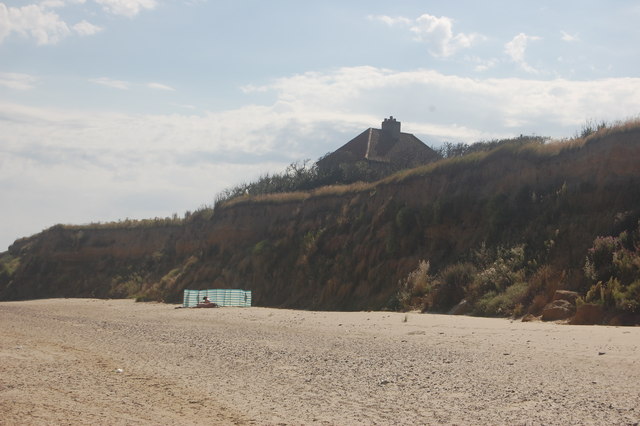
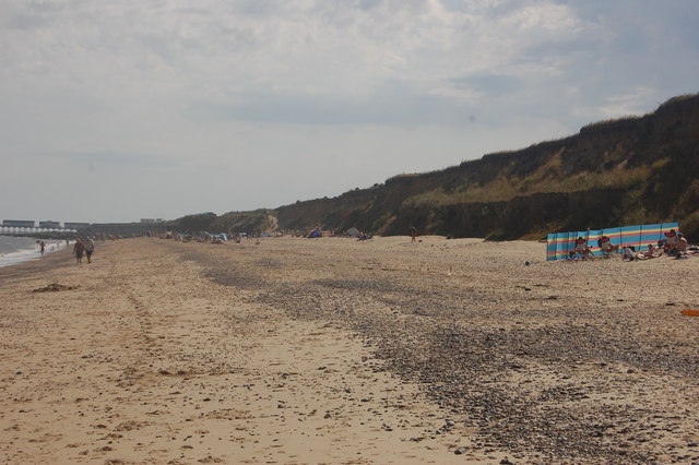
In addition to its ecological significance, Pottersbridge Marshes also offers recreational opportunities for visitors. The marshes provide a peaceful and picturesque setting for walking, birdwatching, and nature photography. There are designated footpaths and trails that allow visitors to explore the area while minimizing disturbance to the delicate ecosystem.

Pottersbridge Marshes in Suffolk is undoubtedly a fascinating and important coastal marshland that offers a unique glimpse into the natural beauty and biodiversity of the region.

If you have any feedback on the listing, please let us know in the comments section below.

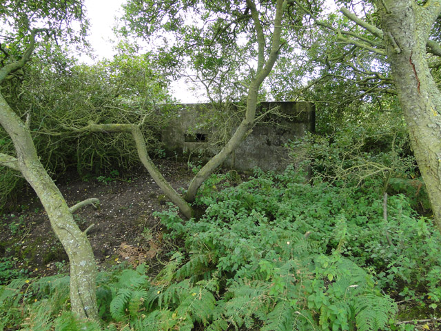
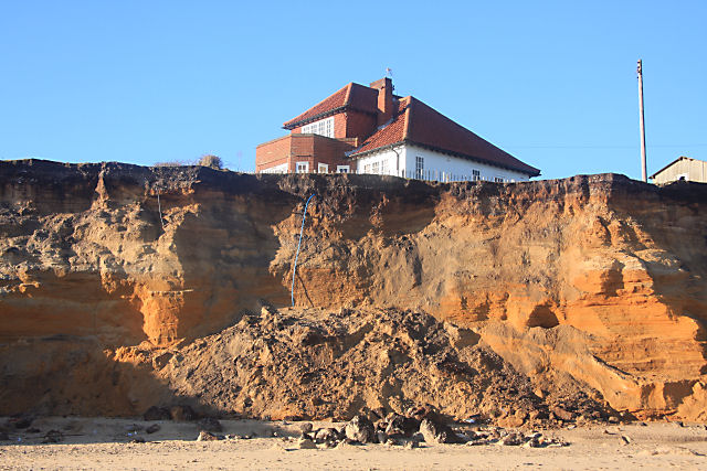
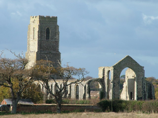
Pottersbridge Marshes Images

Images are sourced within 2km of 52.354245/1.6863213 or Grid Reference TM5179. Thanks to Geograph Open Source API. All images are credited.

Watering the potatoes
Road leading to Middle Buildings
Riddle of the sands
Riddle of the sands
Suffolk Coast Path (foreshore route) - beach by Covehithe Broad
Fields and Marshes near Gravelpit Hill
Potter's Bridge Marshes
The B1127 north of Reydon
Suffolk Coast Path (foreshore route) - beach by Easton Wood Without benefit of a satnav, the protuberance at lowish tide shown on the map helps to identify the spot in this square.
Suffolk Coast Path (foreshore route) - beach by Easton Wood
Without benefit of a satnav, the protuberance at lowish tide shown on the map helps to identify the spot in this square.
Suffolk Coast Path (foreshore route) - Easton Broad Lots of geese on the broad when we passed.
Suffolk Coast Path (foreshore route) - Easton Broad
Lots of geese on the broad when we passed.
Suffolk Coast Path (foreshore route) - Easton Cliffs The house at the end (that is what is now the end) of Easton Lane can't have long to survive on this rapidly eroding section of cliff.
Suffolk Coast Path (foreshore route) - Easton Cliffs
The house at the end (that is what is now the end) of Easton Lane can't have long to survive on this rapidly eroding section of cliff.
Suffolk Coast Path (foreshore route) - beach by Sole Bay Ahead in the centre left of the picture we can see the path that the coast path takes as it leaves the beach and joins the alternative inland route to enter Southwold.
Suffolk Coast Path (foreshore route) - beach by Sole Bay
Ahead in the centre left of the picture we can see the path that the coast path takes as it leaves the beach and joins the alternative inland route to enter Southwold.
Potter's Bridge Ford Tidal ford on the River Wren at Potter's Bridge on the Easton Broad.
Potter's Bridge Ford
Tidal ford on the River Wren at Potter's Bridge on the Easton Broad.
Suffolk Square pillbox The pillbox is in excellent condition and the concrete shelves are all intact.
The door and some embrasures have been bricked up for protection.
Suffolk Square pillbox
The pillbox is in excellent condition and the concrete shelves are all intact. The door and some embrasures have been bricked up for protection.
Former chapel in Mount Pleasant, Reydon The former chapel is a private residence. There is a small War Memorial tablet bearing the names of ten men 'of this chapel' who were lost in WW1.
To see the memorial click this link > <a title="https://www.geograph.org.uk/photo/4537910" href="https://www.geograph.org.uk/photo/4537910">Link</a>
Former chapel in Mount Pleasant, Reydon
The former chapel is a private residence. There is a small War Memorial tablet bearing the names of ten men 'of this chapel' who were lost in WW1. To see the memorial click this link > Link
WW1 War Memorial on a former chapel in Reydon The former chapel can be seen here >  <a title="https://www.geograph.org.uk/photo/4537909" href="https://www.geograph.org.uk/photo/4537909">Link</a>
WW1 War Memorial on a former chapel in Reydon
The former chapel can be seen here > Link
Slow Non standard department of transport slow children sign near to Reydon, Suffolk.
Slow
Non standard department of transport slow children sign near to Reydon, Suffolk.
Green Path Footpath leading to Lowestoft Road near to Reydon, Suffolk.
Green Path
Footpath leading to Lowestoft Road near to Reydon, Suffolk.
Show me another place!

Pottersbridge Marshes is located at Grid Ref: TM5179 (Lat: 52.354245, Lng: 1.6863213)

Administrative County: Suffolk

District: East Suffolk

Police Authority: Suffolk

What 3 Words

///coining.disengage.crumple. Near Southwold, Suffolk

Related Wikis

Easton Bavents

Easton Bavents is a hamlet and former civil parish, now in the parish of Reydon, in the East Suffolk district of the county of Suffolk, England. Once an...

South Cove, Suffolk

South Cove is a civil parish in the east of the English county of Suffolk. It is 3 miles (4.8 km) north of the coastal town of Southwold and 1 mile (1...

Reydon

Reydon is a village and civil parish, 1.0 mile (1.6 km) north-west of Southwold and 2.5 miles (4.0 km) south-east of Wangford, in the East Suffolk district...

Benacre National Nature Reserve

Benacre National Nature Reserve is a national nature reserve in the English county of Suffolk. It is located on the North Sea coast in the parishes of...

Southwold railway station

Southwold railway station was located in Southwold, Suffolk. It closed in 1929, 50 years after it had opened for passenger traffic. The station was demolished...

Covehithe

Covehithe is a village and civil parish in the East Suffolk district of the English county of Suffolk. It lies on the North Sea coast around 4 miles (6...

Southwold Pier

Southwold Pier is a pier in the coastal town of Southwold in the English county of Suffolk. It is on the northern edge of the town and extends 190 metres...

St Andrew's Church, Covehithe

St Andrew's Church is a partly redundant Anglican church in the hamlet of Covehithe in the English county of Suffolk. It is recorded in the National Heritage...

Have you been to Pottersbridge Marshes?

Leave your review of Pottersbridge Marshes below (or comments, questions and feedback).