Sole Bay
Bay in Suffolk
England
Sole Bay
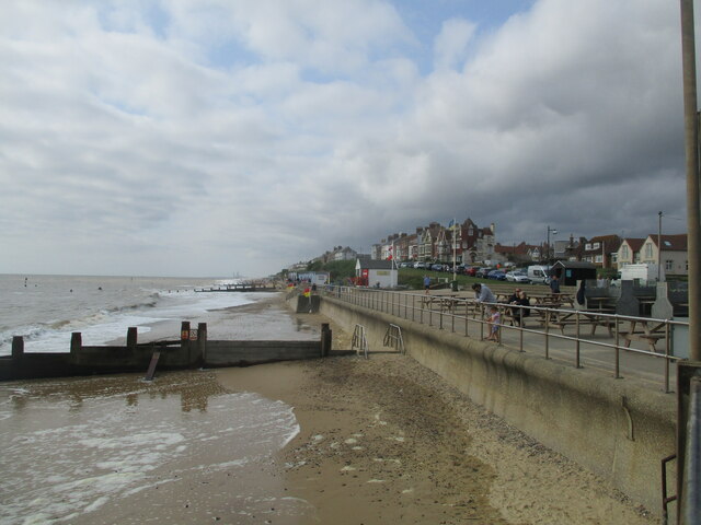
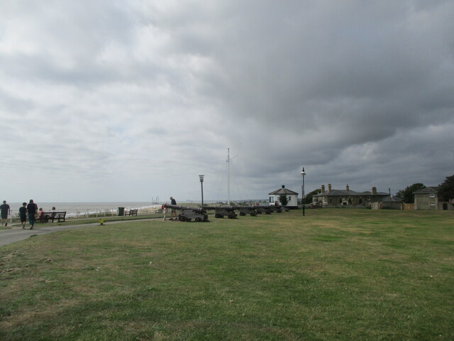
Sole Bay is a bay located on the east coast of England in the county of Suffolk. It is situated between the towns of Southwold and Lowestoft and is part of the North Sea. The bay is known for its picturesque coastline, beautiful sandy beaches, and clear blue waters.
The bay is named after the nearby village of Sole, which is famous for its fishing heritage. Fishing has been a significant activity in Sole Bay for centuries, and the area is still home to a thriving fishing industry today. Visitors can often see fishing boats returning to the bay with their catch, creating a vibrant atmosphere in the area.
Sole Bay is also notable for its historic significance. It was the site of the Battle of Sole Bay, which took place in 1672 during the Third Anglo-Dutch War. The battle was fought between the English and Dutch fleets and resulted in a Dutch victory. Today, visitors can explore the history of the battle through various monuments and plaques that are scattered around the bay.
In addition to its natural and historical attractions, Sole Bay offers a range of recreational activities for visitors. The bay is a popular destination for water sports enthusiasts, including sailing, windsurfing, and kayaking. The surrounding coastline also provides excellent opportunities for walking and cycling, with several scenic trails to explore.
Overall, Sole Bay is a charming and historically significant bay in Suffolk, offering visitors a combination of natural beauty, rich heritage, and outdoor recreation.
If you have any feedback on the listing, please let us know in the comments section below.
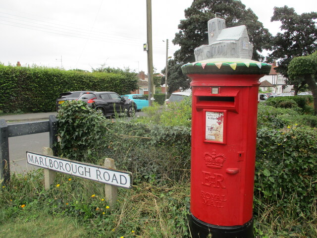
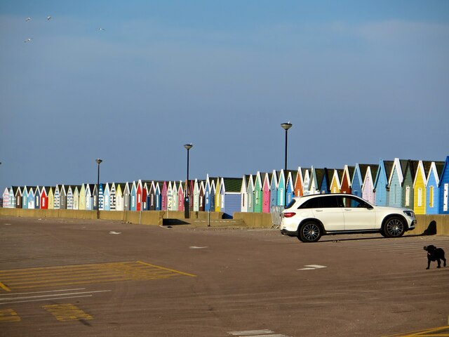
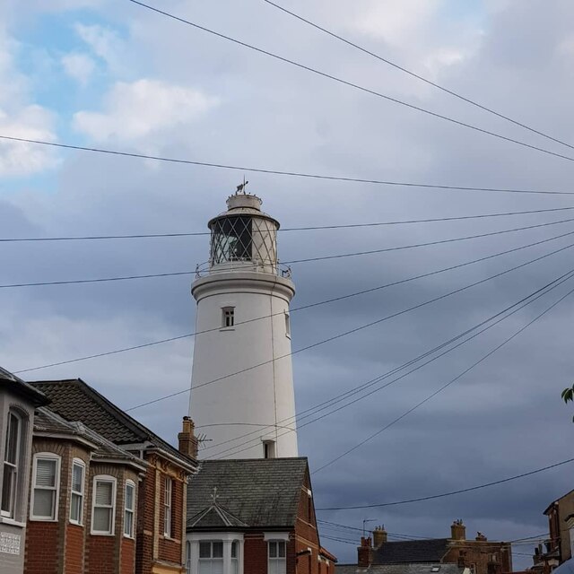
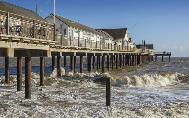
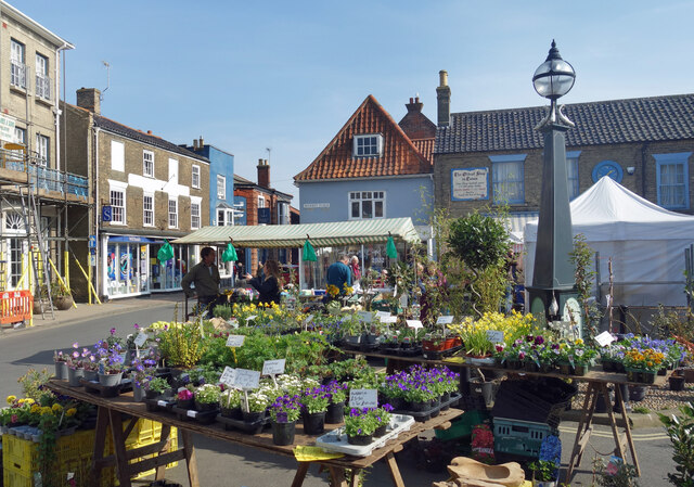
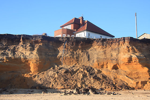
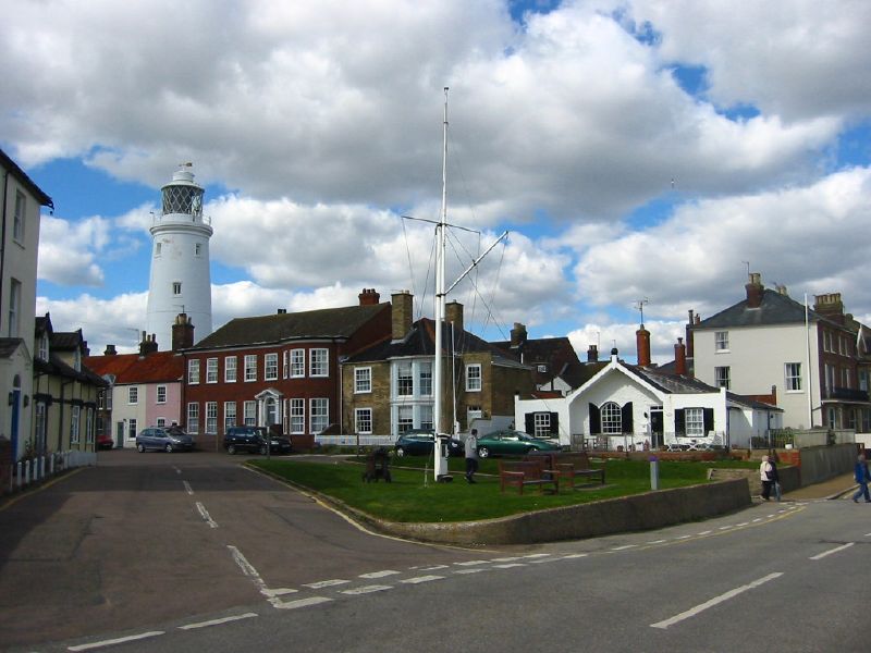
Sole Bay Images
Images are sourced within 2km of 52.33821/1.6902579 or Grid Reference TM5177. Thanks to Geograph Open Source API. All images are credited.

Sole Bay is located at Grid Ref: TM5177 (Lat: 52.33821, Lng: 1.6902579)
Administrative County: Suffolk
Police Authority: Suffolk
What 3 Words
///roadshow.duet.blockage. Near Southwold, Suffolk
Nearby Locations
Related Wikis
Easton Bavents
Easton Bavents is a hamlet and former civil parish, now in the parish of Reydon, in the East Suffolk district of the county of Suffolk, England. Once an...

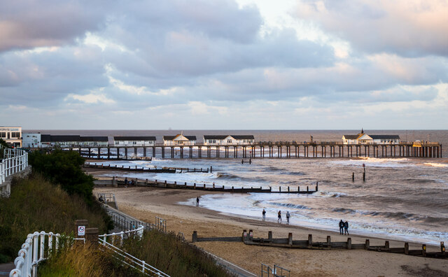
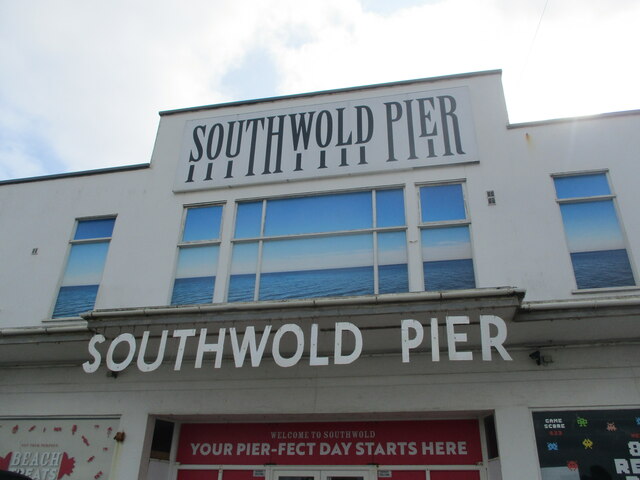
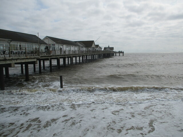
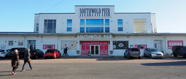
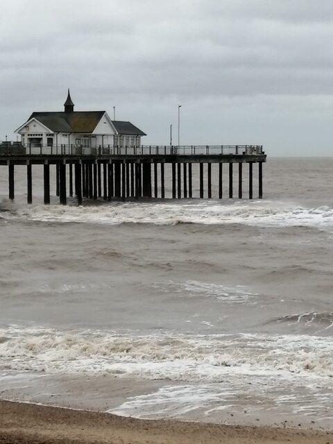
Southwold Pier
Southwold Pier is a pier in the coastal town of Southwold in the English county of Suffolk. It is on the northern edge of the town and extends 190 metres...

Southwold railway station
Southwold railway station was located in Southwold, Suffolk. It closed in 1929, 50 years after it had opened for passenger traffic. The station was demolished...

St Edmund's Church, Southwold
St Edmund's Church, Southwold is a Grade I listed parish church in the Church of England in Southwold, Suffolk. == History == The parish church of Southwold...

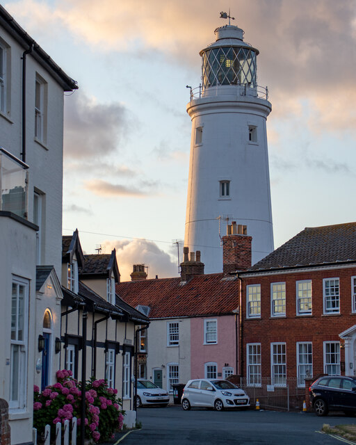
Southwold Lighthouse
Southwold Lighthouse is a lighthouse operated by Trinity House in the centre of Southwold in Suffolk, England. It stands on the North Sea coast, acting...

Reydon
Reydon is a village and civil parish, 1.0 mile (1.6 km) north-west of Southwold and 2.5 miles (4.0 km) south-east of Wangford, in the East Suffolk district...
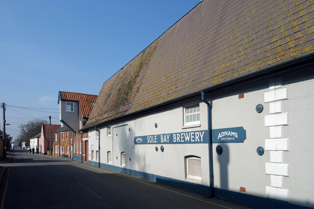
Adnams
Adnams is a regional brewery founded in 1872 in Southwold, Suffolk, England, by George and Ernest Adnams. It produces cask ale and bottled beers. Annual...
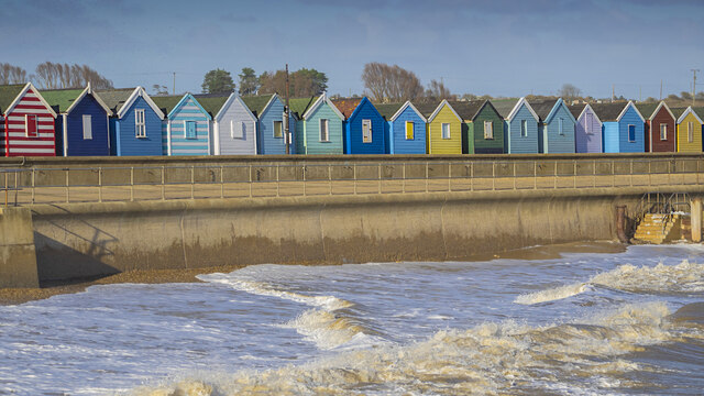
Southwold
Southwold is a seaside town on the North Sea in Suffolk, England. It lies at the mouth of the River Blyth in the Suffolk Coast and Heaths Area of Outstanding...
Nearby Amenities
Located within 500m of 52.33821,1.6902579Have you been to Sole Bay?
Leave your review of Sole Bay below (or comments, questions and feedback).