Angel Marshes
Coastal Marsh, Saltings in Suffolk East Suffolk
England
Angel Marshes
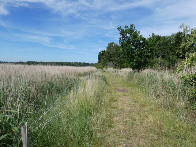
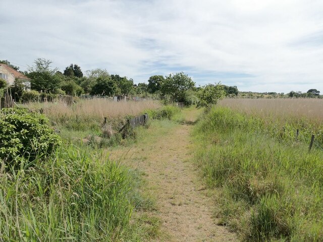
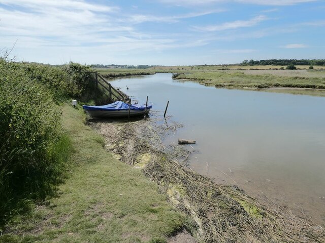
Angel Marshes is a designated nature reserve located in Suffolk, England. Situated along the coast, it encompasses a vast expanse of coastal marshes and saltings, making it an important habitat for a wide range of plant and animal species. The marshes are situated between the towns of Lowestoft and Great Yarmouth, and cover an area of approximately 1,200 hectares.
The marshes are characterized by their unique combination of saltwater and freshwater habitats. This diversity supports a rich variety of flora and fauna, making it an ideal location for birdwatching and wildlife observation. The reserve is home to numerous bird species, including wading birds like avocets, lapwings, and redshanks, as well as rare species such as marsh harriers and bitterns.
The marshes also provide an important breeding ground for various fish species, which in turn attracts predatory birds and mammals. The reed beds and open water areas are also home to a range of invertebrates, amphibians, and reptiles, adding to the overall biodiversity of the site.
Visitors to Angel Marshes can explore the reserve through a network of footpaths and observation points, allowing for a closer look at the wildlife and natural beauty of the area. The site is managed by a local conservation organization, which works to protect and enhance the marshes by maintaining water levels and controlling invasive plant species.
Overall, Angel Marshes is a significant coastal marsh and salting ecosystem, offering a valuable habitat for a diverse range of species and providing an opportunity for visitors to experience and appreciate the natural wonders of Suffolk's coastline.
If you have any feedback on the listing, please let us know in the comments section below.
Angel Marshes Images
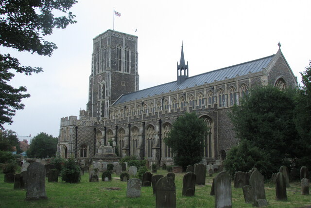
Images are sourced within 2km of 52.321548/1.6033502 or Grid Reference TM4575. Thanks to Geograph Open Source API. All images are credited.
Angel Marshes is located at Grid Ref: TM4575 (Lat: 52.321548, Lng: 1.6033502)
Administrative County: Suffolk
District: East Suffolk
Police Authority: Suffolk
What 3 Words
///hippy.grafted.unloading. Near Southwold, Suffolk
Nearby Locations
Related Wikis

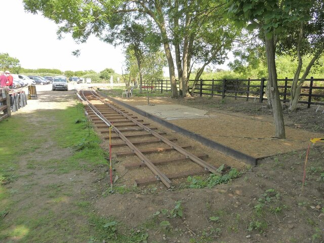
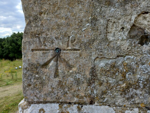
Southwold Railway
The Southwold Railway was a narrow gauge railway line between Halesworth and Southwold in the English county of Suffolk. 8 miles 63+1⁄2 chains (14.15 km...
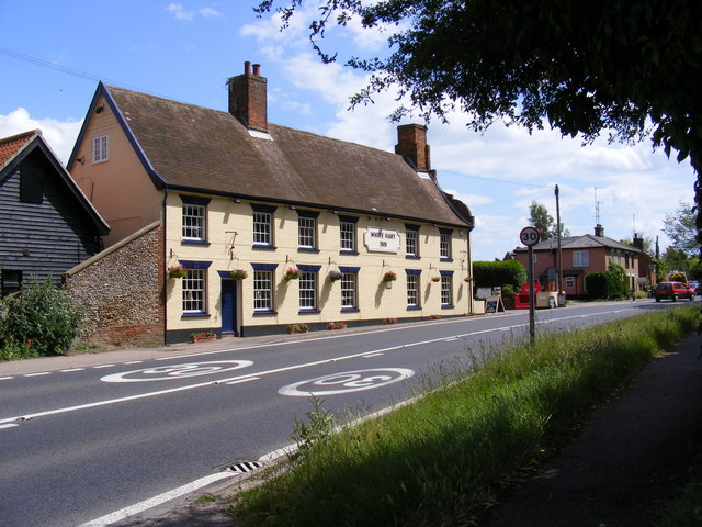
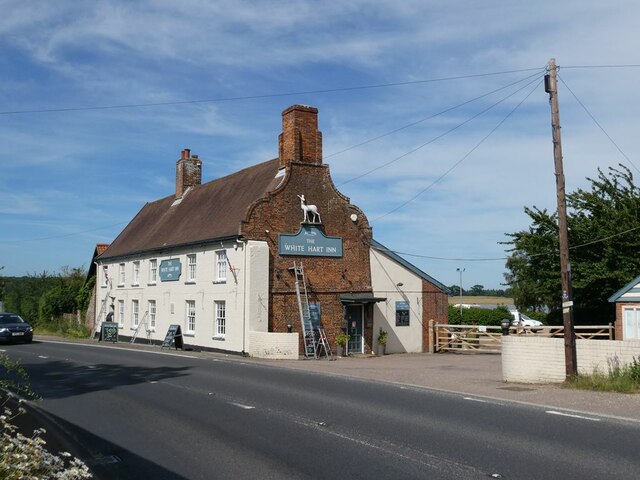
White Hart Inn, Blythburgh
The White Hart Inn is a grade II* listed public house in Blythburgh, Suffolk, England. It is a timber-framed former coaching inn and courthouse that dates...

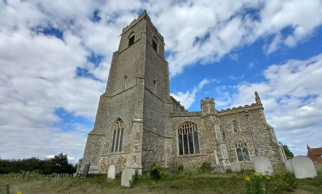
Blythburgh
Blythburgh is a village and civil parish in the East Suffolk district of the English county of Suffolk. It is 4 miles (6.4 km) west of Southwold and 5...

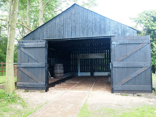
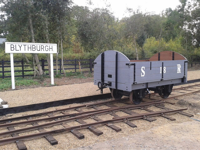
Blythburgh railway station
Blythburgh railway station was located in Blythburgh, Suffolk. The station had two goods sheds. The one shown below is the only remaining building of the...
Nearby Amenities
Located within 500m of 52.321548,1.6033502Have you been to Angel Marshes?
Leave your review of Angel Marshes below (or comments, questions and feedback).