Sandpit Covert Marshes
Coastal Marsh, Saltings in Suffolk East Suffolk
England
Sandpit Covert Marshes
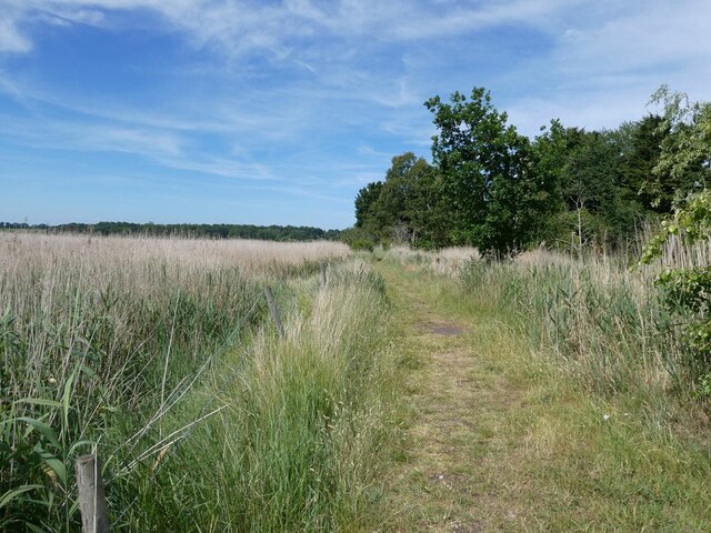
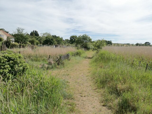
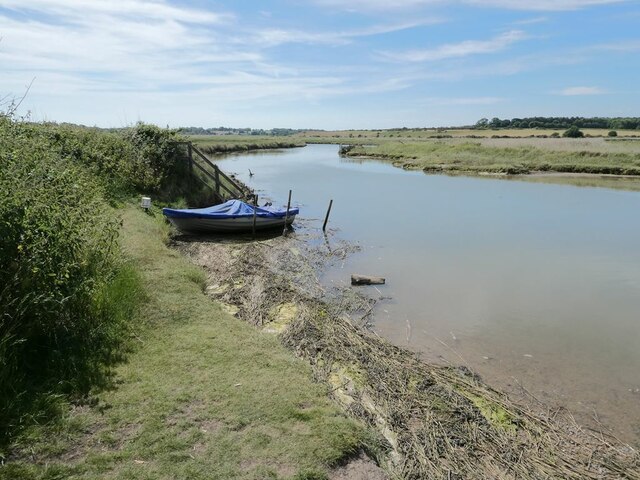
Sandpit Covert Marshes is a coastal marshland located in Suffolk, England. Stretching along the eastern coast, the marshes are situated near the village of Walberswick. This area is commonly referred to as Sandpit Covert, due to the presence of numerous sandpits that were historically used for extracting sand.
The marshes are characterized by their unique salt marsh habitat, which consists of a mixture of mudflats, salt marshes, and saltings. These marshes are vital for the local ecosystem, as they provide a valuable breeding ground for a variety of bird species, including avocets, redshanks, and oystercatchers. The area is also home to a diverse range of plant species, such as sea lavender, sea purslane, and sea aster.
The marshes are subject to tidal influence, with the ebb and flow of the tides shaping the landscape and creating dynamic habitats. This fluctuation in water levels creates a mosaic of habitats that are attractive to a wide range of wildlife.
Sandpit Covert Marshes are also popular among nature enthusiasts and birdwatchers, who visit the area to observe the rich biodiversity. The marshes offer several walking trails and observation points, allowing visitors to explore the area and appreciate its natural beauty.
In addition to its ecological importance, Sandpit Covert Marshes also serve as a natural defense against coastal erosion. The marshes act as a buffer, absorbing the impact of waves and protecting the land behind them.
Overall, Sandpit Covert Marshes in Suffolk are a valuable and picturesque coastal marshland, providing a haven for wildlife and offering visitors the opportunity to connect with nature in a tranquil and diverse environment.
If you have any feedback on the listing, please let us know in the comments section below.
Sandpit Covert Marshes Images
Images are sourced within 2km of 52.326616/1.6011786 or Grid Reference TM4575. Thanks to Geograph Open Source API. All images are credited.
Sandpit Covert Marshes is located at Grid Ref: TM4575 (Lat: 52.326616, Lng: 1.6011786)
Administrative County: Suffolk
District: East Suffolk
Police Authority: Suffolk
What 3 Words
///unites.bordering.spreads. Near Southwold, Suffolk
Nearby Locations
Related Wikis

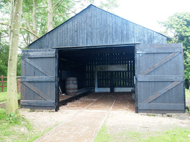
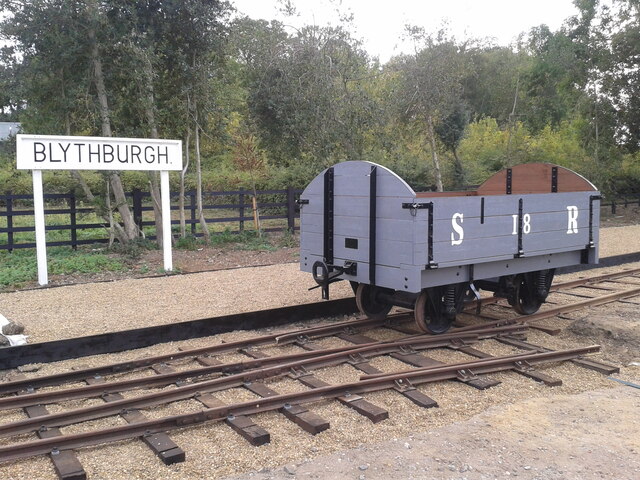
Blythburgh railway station
Blythburgh railway station was located in Blythburgh, Suffolk. The station had two goods sheds. The one shown below is the only remaining building of the...

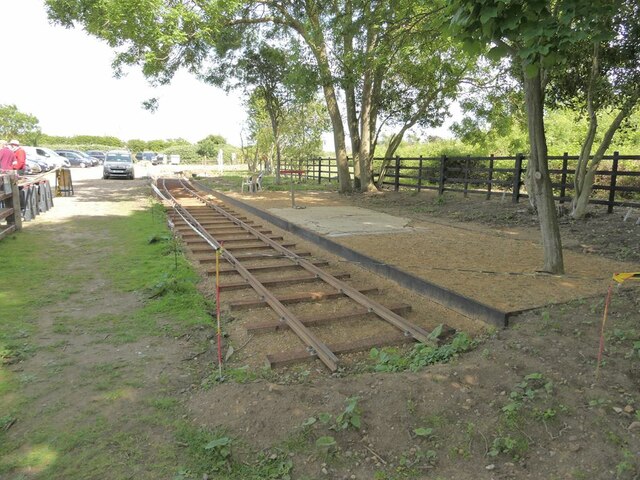
Southwold Railway
The Southwold Railway was a narrow gauge railway line between Halesworth and Southwold in the English county of Suffolk. 8 miles 63+1⁄2 chains (14.15 km...
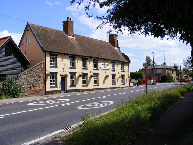
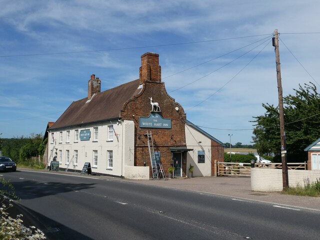
White Hart Inn, Blythburgh
The White Hart Inn is a grade II* listed public house in Blythburgh, Suffolk, England. It is a timber-framed former coaching inn and courthouse that dates...
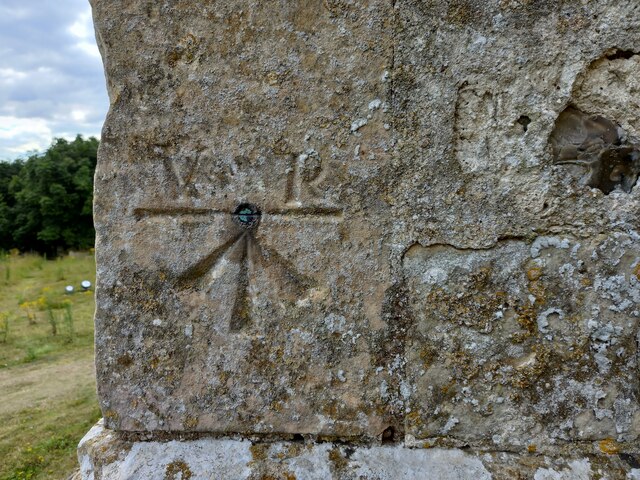
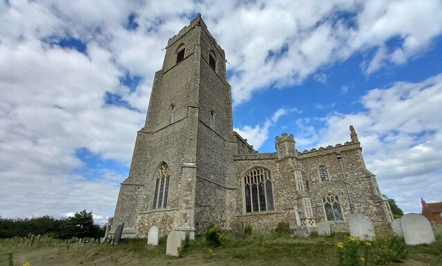
Blythburgh Priory
Blythburgh Priory was a medieval monastic house of Augustinian canons, dedicated to the Blessed Virgin Mary, located in the village of Blythburgh in Suffolk...
Nearby Amenities
Located within 500m of 52.326616,1.6011786Have you been to Sandpit Covert Marshes?
Leave your review of Sandpit Covert Marshes below (or comments, questions and feedback).