Haddiscoe Marshes
Coastal Marsh, Saltings in Norfolk South Norfolk
England
Haddiscoe Marshes

Haddiscoe Marshes, located in Norfolk, England, is a picturesque coastal marshland that stretches along the River Waveney. This vast expanse of marshes and saltings is a natural haven for wildlife and offers stunning views of the surrounding countryside.
Covering an area of approximately 900 hectares, Haddiscoe Marshes is a designated Site of Special Scientific Interest (SSSI) due to its outstanding ecological importance. The marshes are characterized by a complex network of freshwater ditches, reed beds, and grazing marshes, which provide a diverse habitat for a wide variety of plants and animals.
The marshes are home to numerous bird species, making it a prime destination for birdwatchers. Visitors may catch a glimpse of wading birds such as avocets, redshanks, and lapwings, as well as ducks, geese, and swans. In addition, the marshes provide a breeding ground for rare species such as the bittern and marsh harrier.
The landscape of Haddiscoe Marshes is also dotted with saltmarsh creeks and mudflats, which are vital for many marine creatures. The area supports a rich array of invertebrates, including crabs, shrimps, and worms, which attract various bird species, including the iconic marsh harrier.
Visitors to Haddiscoe Marshes can explore the area via a network of footpaths and nature trails, allowing them to fully immerse themselves in the natural beauty of the marshland. The marshes offer a tranquil escape and a chance to observe and appreciate the diverse wildlife that calls this area home.
Overall, Haddiscoe Marshes is a stunning coastal marshland in Norfolk, offering visitors a unique opportunity to experience the beauty and biodiversity of this natural habitat.
If you have any feedback on the listing, please let us know in the comments section below.
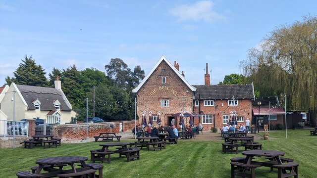
Haddiscoe Marshes Images
Images are sourced within 2km of 52.521486/1.617584 or Grid Reference TM4597. Thanks to Geograph Open Source API. All images are credited.


Haddiscoe Marshes is located at Grid Ref: TM4597 (Lat: 52.521486, Lng: 1.617584)
Administrative County: Norfolk
District: South Norfolk
Police Authority: Norfolk
What 3 Words
///deployed.shrug.climbing. Near Thurlton, Norfolk
Nearby Locations
Related Wikis

Haddiscoe High Level railway station
Haddiscoe High Level was a railway station in Haddiscoe, Norfolk serving the now closed Yarmouth-Beccles Line. It obtained its name due to its close proximity...
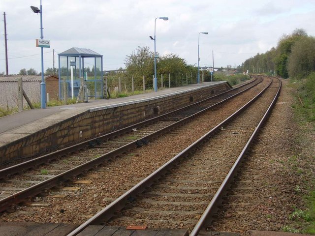
Haddiscoe railway station
Haddiscoe railway station (formerly Haddiscoe Low Level) is on the Wherry Lines in Norfolk, England, named after the village of Haddiscoe, some 2 miles...

Herringfleet Windmill
Herringfleet Mill or Walker's Mill is a Grade II* listed smock mill at Herringfleet, Suffolk, England, Now in a bad state of repair with two of the 4 sails...

Yarmouth–Beccles line
The Yarmouth–Beccles line was a railway line which linked the Suffolk market town of Beccles with the Norfolk coastal resort of Yarmouth. Forming part...
Nearby Amenities
Located within 500m of 52.521486,1.617584Have you been to Haddiscoe Marshes?
Leave your review of Haddiscoe Marshes below (or comments, questions and feedback).