Lantern Marshes

Coastal Marsh, Saltings in Suffolk East Suffolk

England

Lantern Marshes

Martello Tower One of a series of towers protecting the east coast
Martello Tower Credit: Barry Hughes

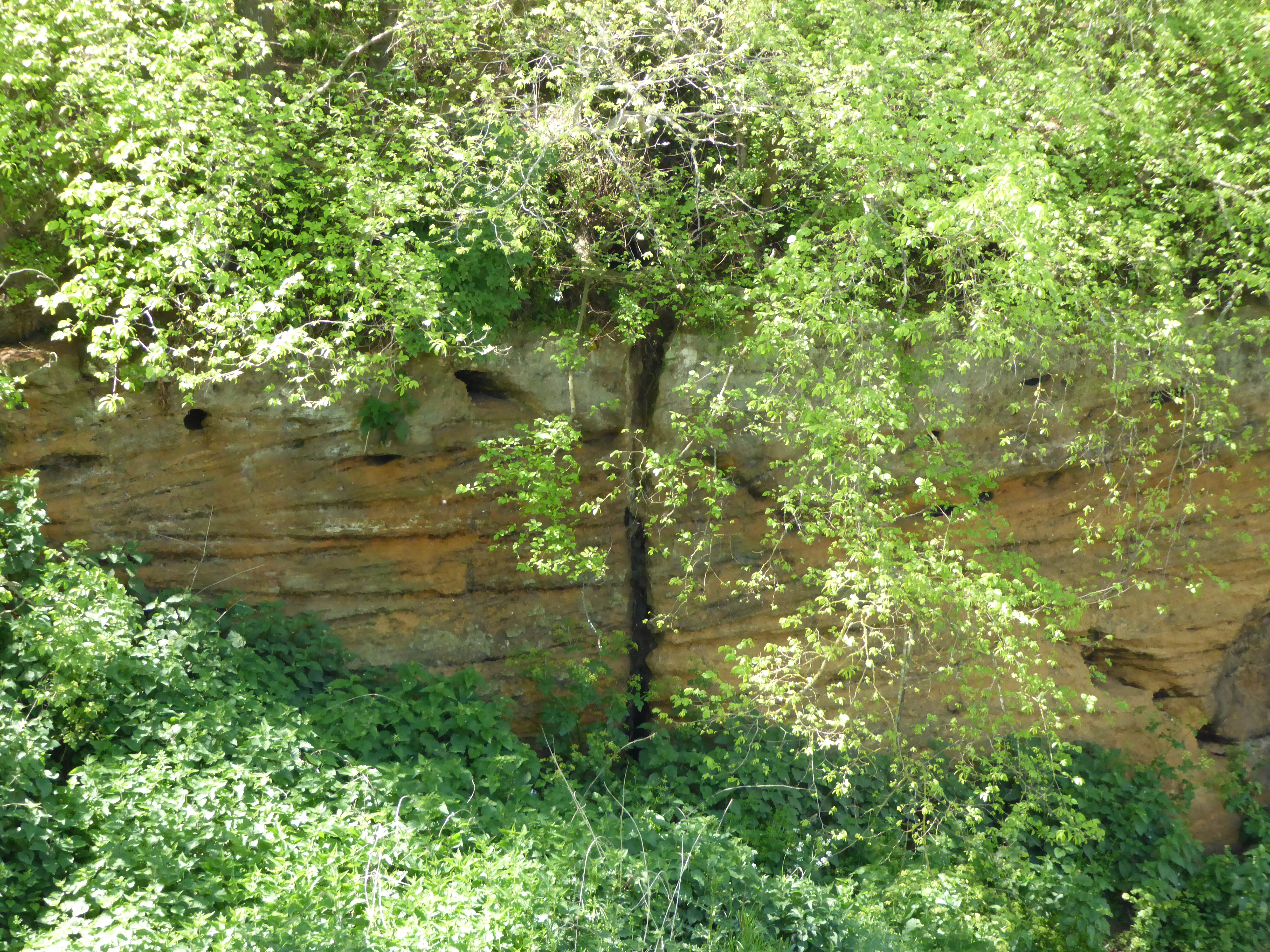
Lantern Marshes, located in Suffolk, is a picturesque coastal marshland characterized by its unique saltings. Spanning over a vast area, this marshland is a haven for various flora and fauna, making it a popular destination for nature enthusiasts and birdwatchers.

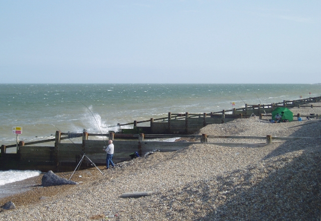
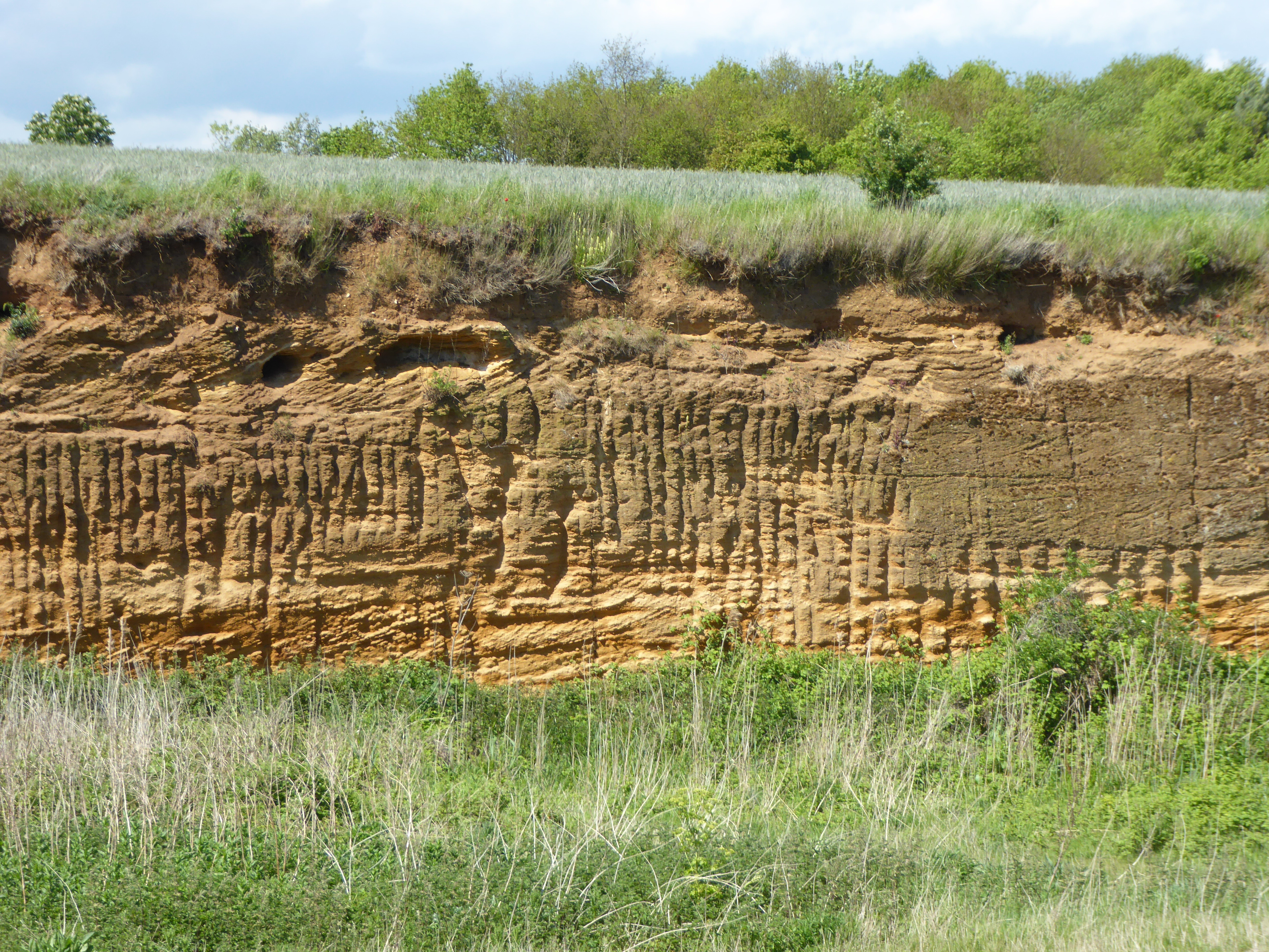
The marshes are primarily composed of salt marshes, which are formed by the accumulation of sediment carried by tidal currents. These marshes are periodically flooded by seawater during high tides, creating a dynamic ecosystem that supports a diverse range of plant and animal life. The salt-tolerant vegetation found here includes sea lavender, samphire, and sea purslane, which add vibrant colors to the landscape.

Lantern Marshes is a designated Site of Special Scientific Interest (SSSI) due to its ecological importance. It provides a vital habitat for numerous bird species, including migratory birds such as marsh harriers, avocets, and redshanks. The marshes also attract large numbers of wintering wildfowl, such as wigeons and pintails, which find abundant food sources in the area.

The marshes are crisscrossed by a network of trails and footpaths, allowing visitors to explore the area and observe its wildlife up close. The serene atmosphere and stunning views make it an ideal location for leisurely walks and photography. Additionally, there are several bird hides strategically placed along the marshes, providing excellent opportunities for birdwatching and wildlife photography.

Overall, Lantern Marshes in Suffolk offers a unique and captivating coastal marsh experience, showcasing the beauty and biodiversity of this dynamic ecosystem.

If you have any feedback on the listing, please let us know in the comments section below.

Lantern Marshes Images

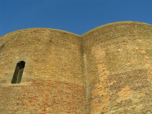
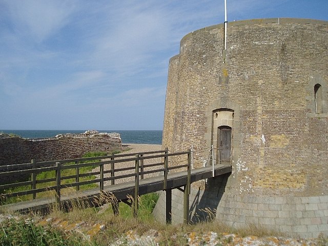
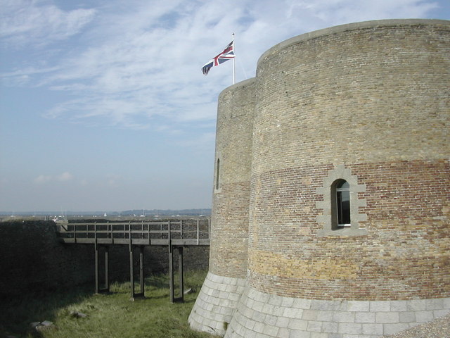
Images are sourced within 2km of 52.124862/1.5905877 or Grid Reference TM4553. Thanks to Geograph Open Source API. All images are credited.

Martello Tower One of a series of towers protecting the east coast
Martello Tower
One of a series of towers protecting the east coast
Martello Tower near Aldeburgh This is the most northerly Martello Tower built in England as part of the defences against a possible invasion by Napoleon.  Invasion by the sea is now a greater problem, and the outer defence work of the tower has fallen victim to coastal erosion.  The tower is owned by the Landmark Trust and is available for rent as a holiday house.
Martello Tower near Aldeburgh
This is the most northerly Martello Tower built in England as part of the defences against a possible invasion by Napoleon. Invasion by the sea is now a greater problem, and the outer defence work of the tower has fallen victim to coastal erosion. The tower is owned by the Landmark Trust and is available for rent as a holiday house.
North Sea coast south of Aldeburgh A fisherman tries his luck from the shingle beach near the Martello Tower
North Sea coast south of Aldeburgh
A fisherman tries his luck from the shingle beach near the Martello Tower
A Walk to the River Alde, Suffolk This photograph is looking over a cornfield towards, in the middle distance, the River Alde. Beyond the river are the Aldeburgh Marshes and in the far distance (look for the white dome standing just above the tree-line) is the Sizewell nuclear power station. In the distance, and to the right of the picture, are the outskirts of Aldeburgh
A Walk to the River Alde, Suffolk
This photograph is looking over a cornfield towards, in the middle distance, the River Alde. Beyond the river are the Aldeburgh Marshes and in the far distance (look for the white dome standing just above the tree-line) is the Sizewell nuclear power station. In the distance, and to the right of the picture, are the outskirts of Aldeburgh
A Walk to the River Alde, Suffolk This photograph is of Westrow Reach on the River Alde, Suffolk. The built-up area in the (left) distance is Aldeburgh whilst more towards the right is an area of the town called Fort Green. A large number of pleasure vessels can be seen moored on the river.
A Walk to the River Alde, Suffolk
This photograph is of Westrow Reach on the River Alde, Suffolk. The built-up area in the (left) distance is Aldeburgh whilst more towards the right is an area of the town called Fort Green. A large number of pleasure vessels can be seen moored on the river.
A Walk to the River Alde, Suffolk This photograph is of Westrow Reach looking inland towards Short Reach on the River Alde, Suffolk. In the middle distance on the left is a cornfield that forms the edge of the cultivated land. From the field to the river the land is scrub and marsh.
A Walk to the River Alde, Suffolk
This photograph is of Westrow Reach looking inland towards Short Reach on the River Alde, Suffolk. In the middle distance on the left is a cornfield that forms the edge of the cultivated land. From the field to the river the land is scrub and marsh.
Wartime Radio/Radar station on Orford Ness Taken from about 1 mile south of Martello Tower at Aldeburgh
Wartime Radio/Radar station on Orford Ness
Taken from about 1 mile south of Martello Tower at Aldeburgh
Orford Ness, Lantern Marsh Shingle Ridge Here at the north end of Orford Ness, the shingle ridge is only 50-70m wide. The photo shows the scarce sea pea in the foreground. Orford Ness is owned and cared for by The National Trust.
Orford Ness, Lantern Marsh Shingle Ridge
Here at the north end of Orford Ness, the shingle ridge is only 50-70m wide. The photo shows the scarce sea pea in the foreground. Orford Ness is owned and cared for by The National Trust.
View along Sudbourne Beach Picture taken from top of the Martello Tower
View along Sudbourne Beach
Picture taken from top of the Martello Tower
Martello Tower, south of Aldeburgh, Suffolk
Fishermen at Slaughden, looking north towards Aldeburgh
Martello Tower View from inside the Martello Tower looking across to the River Alde.  The Martello is a Landmark Trust property.
Martello Tower
View from inside the Martello Tower looking across to the River Alde. The Martello is a Landmark Trust property.
Sailing on the River Alde
Blackstakes Reach Looking south west along the River Alde to Blackstakes Reach near to Orford Suffolk.
Blackstakes Reach
Looking south west along the River Alde to Blackstakes Reach near to Orford Suffolk.
Earth embankment Looking north east along the earth embankment at the edge of the Sudbourn marshes. In the distance across the River Alde is the northern end of Orford Ness Suffolk.
Earth embankment
Looking north east along the earth embankment at the edge of the Sudbourn marshes. In the distance across the River Alde is the northern end of Orford Ness Suffolk.
Pump house As marked on the O.S. 1:25:000 map as a pump house Sudbourne Marshes near to Orford Suffolk.
Pump house
As marked on the O.S. 1:25:000 map as a pump house Sudbourne Marshes near to Orford Suffolk.
Sheep on the embankment Sheep blocking the footpath on top of the embankment along the River Alde. Aldeburgh can be seen in the distance.
Sheep on the embankment
Sheep blocking the footpath on top of the embankment along the River Alde. Aldeburgh can be seen in the distance.
Longdrift Carr Looking south towards Longdrift Carr near to Oxford Suffolk.
Longdrift Carr
Looking south towards Longdrift Carr near to Oxford Suffolk.
Show me another place!

Lantern Marshes is located at Grid Ref: TM4553 (Lat: 52.124862, Lng: 1.5905877)

Administrative County: Suffolk

District: East Suffolk

Police Authority: Suffolk

What 3 Words

///labs.molars.texts. Near Aldeburgh, Suffolk

Related Wikis

Valley Farm Pit, Sudbourne

Valley Farm Pit, Sudbourne is a 0.5-hectare (1.2-acre) geological Site of Special Scientific Interest north of Orford in Suffolk. It is a Geological Conservation...

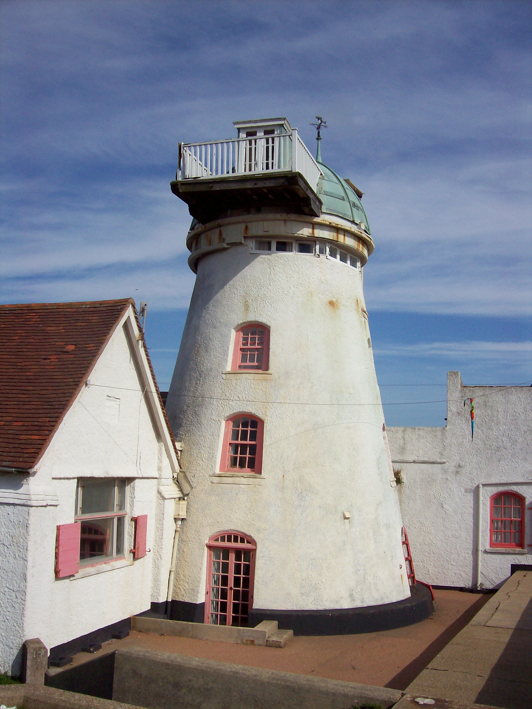
Fort Green Mill, Aldeburgh

Fort Green Mill is a tower mill at Aldeburgh, Suffolk, England which has been converted to residential accommodation. == History == Fort Green Mill was...

Cobra Mist

Cobra Mist was the codename for an Anglo-American experimental over-the-horizon radar station at Orford Ness, England. It was known technically as AN/FPS...

Red House Farm Pit

Red House Farm Pit is a 0.5-hectare (1.2-acre) geological Site of Special Scientific Interest east of Wickham Market in Suffolk. It is a Geological Conservation...

Nearby Amenities

Located within 500m of 52.124862,1.5905877
Source: PGS
Lat/Long: 52.1286383/1.591923
Source: PGS
Lat/Long: 52.1275187/1.5900991
Source: PGS
Lat/Long: 52.127174/1.589741
Source: PGS
Lat/Long: 52.1268863/1.5900562
Source: PGS
Lat/Long: 52.1259646/1.5892546
Source: PGS
Lat/Long: 52.1259115/1.5889619
Source: PGS
Lat/Long: 52.1242863/1.5887938
Source: PGS
Lat/Long: 52.1232767/1.5883182
Source: PGS
Lat/Long: 52.1229474/1.5883825
Source: PGS
Lat/Long: 52.1214109/1.5876318
Source: PGS
Lat/Long: 52.1209398/1.5875089
Source: PGS
Lat/Long: 52.1230445/1.5840564
Source: PGS
Lat/Long: 52.123106/1.5838446
Source: PGS
Lat/Long: 52.1236212/1.5840251
Source: PGS
Lat/Long: 52.1244652/1.5840578
Source: PGS
Lat/Long: 52.1263084/1.5841737
Source: PGS
Lat/Long: 52.1265662/1.5849885
The data included in this document is from www.openstreetmap.org. The data is made available under ODbL.

Have you been to Lantern Marshes?

Leave your review of Lantern Marshes below (or comments, questions and feedback).