Chantry Marshes
Coastal Marsh, Saltings in Suffolk East Suffolk
England
Chantry Marshes
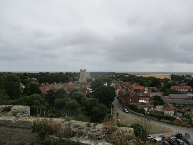
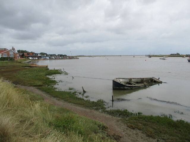
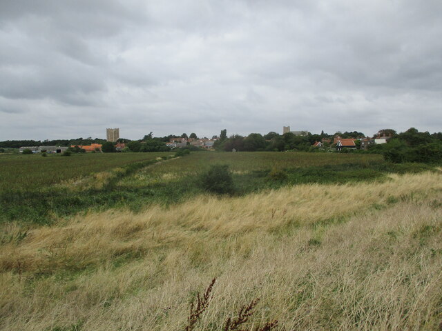
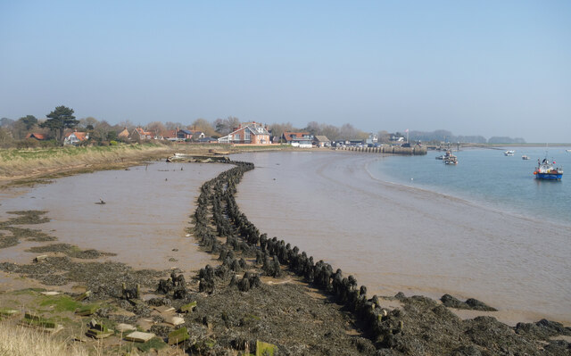
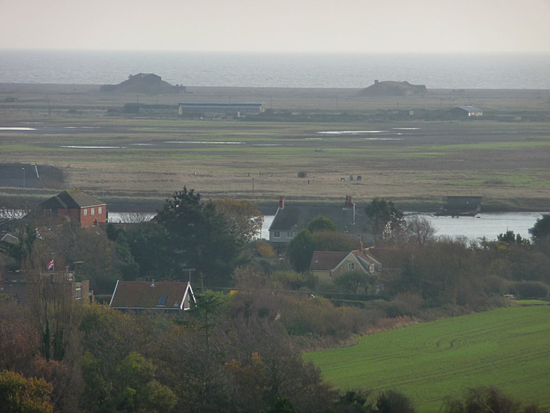
Chantry Marshes, located in Suffolk, England, is a picturesque coastal marshland known for its unique landscape and diverse wildlife. Spanning an area of approximately 100 hectares, the marshes are situated on the eastern bank of the River Orwell, near the town of Ipswich.
The marshes consist of a mix of saltmarsh, mudflat, and reedbed habitats, making it a haven for a wide range of bird species. It is designated as a Site of Special Scientific Interest (SSSI) and is managed by the Suffolk Wildlife Trust. The area is particularly important for breeding and wintering birds, including avocets, redshanks, oystercatchers, and lapwings. The marshes also provide a vital feeding ground for migrating birds during their seasonal journeys.
Chantry Marshes are characterized by their expansive saltmarshes, which are flooded by the tides of the North Sea. These saltmarshes are home to a variety of plants that have adapted to the saline conditions, such as sea lavender, sea purslane, and samphire. The mudflats, which are exposed during low tide, support an abundance of invertebrates, including crabs, worms, and shellfish, which serve as a food source for the visiting and resident bird populations.
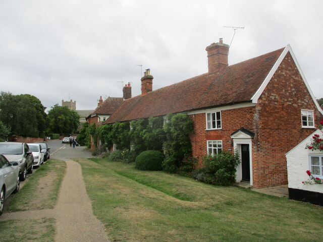
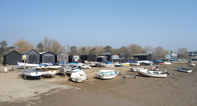
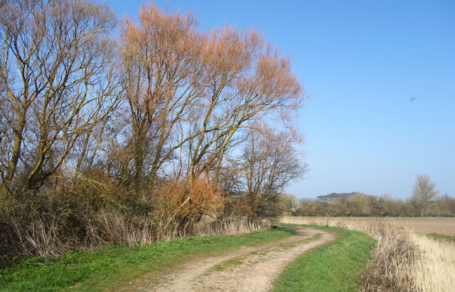
The area is a popular destination for nature enthusiasts and birdwatchers who can take advantage of the well-maintained footpaths and bird hides to observe and appreciate the rich biodiversity. Chantry Marshes offers a tranquil and scenic environment, providing visitors with an opportunity to experience the beauty and serenity of a coastal marshland habitat.
If you have any feedback on the listing, please let us know in the comments section below.
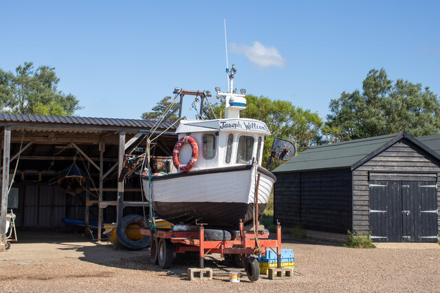
Chantry Marshes Images
Images are sourced within 2km of 52.086788/1.5301591 or Grid Reference TM4149. Thanks to Geograph Open Source API. All images are credited.


Chantry Marshes is located at Grid Ref: TM4149 (Lat: 52.086788, Lng: 1.5301591)
Administrative County: Suffolk
District: East Suffolk
Police Authority: Suffolk
What 3 Words
///saucepan.wiping.outfitter. Near Aldeburgh, Suffolk
Nearby Locations
Related Wikis

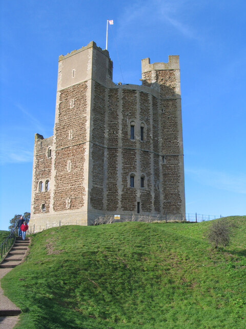
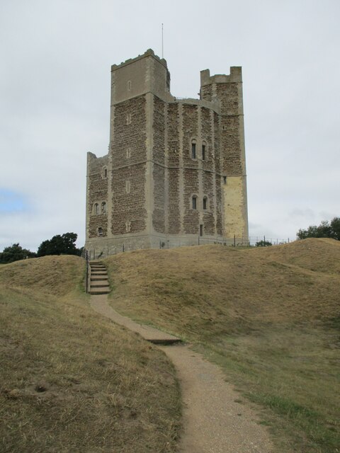
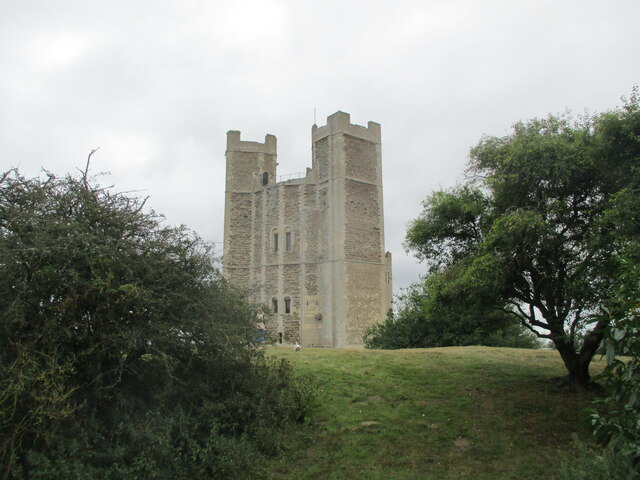
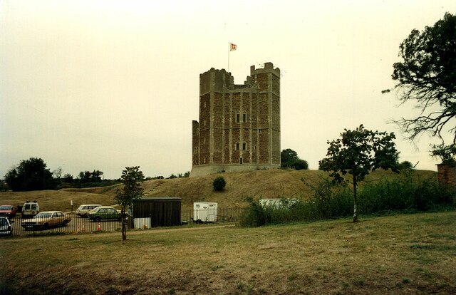
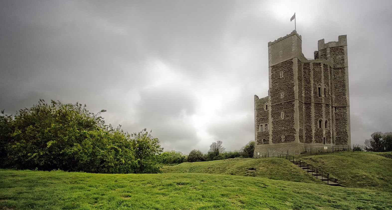
Orford Castle
Orford Castle is a castle in Orford in the English county of Suffolk, 12 miles (19 km) northeast of Ipswich, with views over Orford Ness. It was built...

Richmond Farm Pit, Gedgrave
Richmond Farm Pit, Gedgrave is a 0.57-hectare (1.4-acre) geological Site of Special Scientific Interest south-west of Orford in Suffolk. It is a Geological...
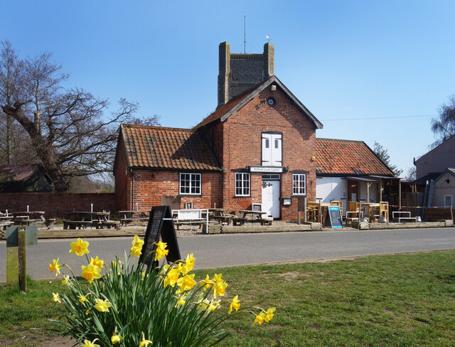
Orford, Suffolk
Orford is a village in Suffolk, England, within the Suffolk Coast and Heaths Area of Outstanding Natural Beauty. It is 9 miles (14 km) east of Woodbridge...

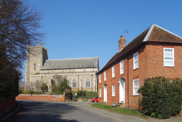
St Bartholomew's Church, Orford
The Church of St Bartholomew is the parish church of the town of Orford, England. A medieval church, dating from the fourteenth century, with reconstructions...

Gedgrave
Gedgrave is a civil parish in the East Suffolk district, in the English county of Suffolk in eastern England. In 2005 its population was 30. Gedgrave once...

Gedgrave Hall Pit
Gedgrave Hall Pit is a 0.65-hectare (1.6-acre) geological Site of Special Scientific Interest in Gedgrave, south of Saxmundham in Suffolk. It is a Geological...

Havergate Island
Havergate Island is the only island in the county of Suffolk, England. It is found at the confluence of the River Ore and the Butley River near the village...
Orford Ness
Orford Ness is a cuspate foreland shingle spit on the Suffolk coast in Great Britain, linked to the mainland at Aldeburgh and stretching along the coast...
Nearby Amenities
Located within 500m of 52.086788,1.5301591Have you been to Chantry Marshes?
Leave your review of Chantry Marshes below (or comments, questions and feedback).