Gillingham Marshes
Coastal Marsh, Saltings in Norfolk South Norfolk
England
Gillingham Marshes

Gillingham Marshes is a coastal marshland situated in the county of Norfolk, England. It is located along the northeastern coast of the county, between the villages of Gillingham and Burgh St. Peter. The marshland is part of the larger Norfolk Coast Area of Outstanding Natural Beauty.
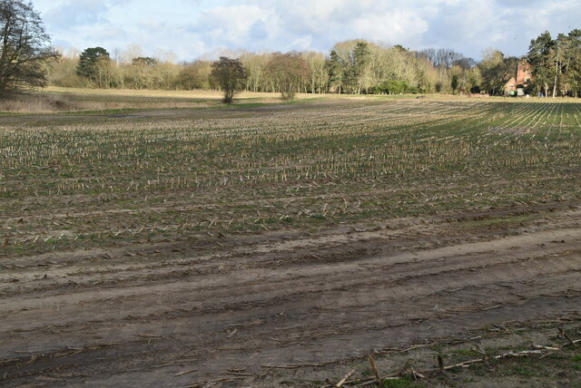
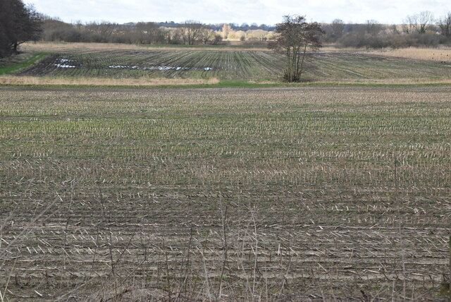
Covering an area of approximately 1,400 acres, Gillingham Marshes is characterized by its diverse and unique habitat. The site consists of a mixture of saltmarsh, mudflats, reedbeds, and freshwater pools, making it a haven for a wide range of plant and animal species.
The marshes are situated at the confluence of the River Yare and the River Waveney, resulting in a dynamic and constantly changing landscape. The tidal influence from the North Sea has shaped the marshes into a series of creeks and channels that are home to various salt-tolerant plants, such as sea lavender and samphire.
The site is an important breeding ground and feeding area for numerous bird species, including avocets, redshanks, and marsh harriers. It is also a vital stopover point for migratory birds, particularly during the spring and autumn seasons.
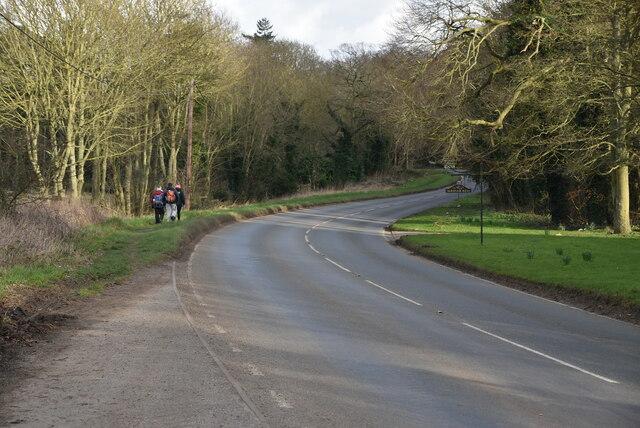
Gillingham Marshes is managed by the Royal Society for the Protection of Birds (RSPB) and is open to the public. There are several walking trails and observation points throughout the site, allowing visitors to explore and observe the rich wildlife that inhabits the marshland. The area is also popular among birdwatchers and nature enthusiasts, who appreciate the tranquility and natural beauty of Gillingham Marshes.
If you have any feedback on the listing, please let us know in the comments section below.
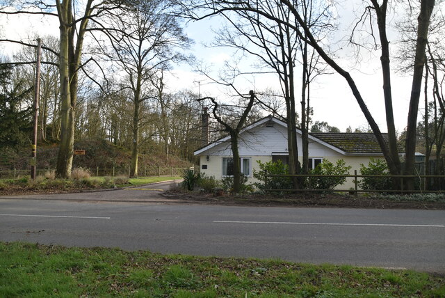
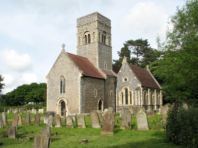
Gillingham Marshes Images
Images are sourced within 2km of 52.470628/1.5602231 or Grid Reference TM4191. Thanks to Geograph Open Source API. All images are credited.


Gillingham Marshes is located at Grid Ref: TM4191 (Lat: 52.470628, Lng: 1.5602231)
Administrative County: Norfolk
District: South Norfolk
Police Authority: Norfolk
What 3 Words
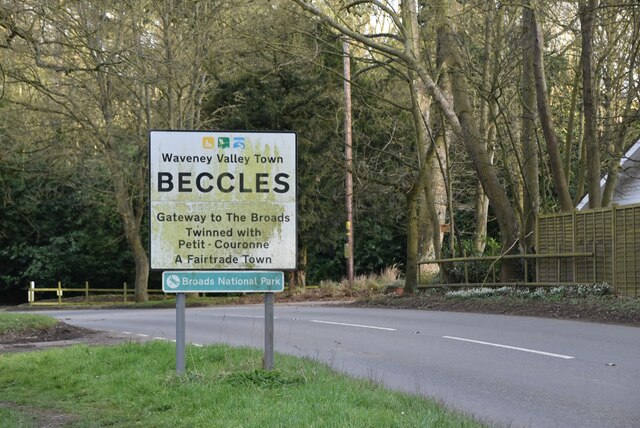
///chill.broached.hammer. Near Beccles, Suffolk
Nearby Locations
Related Wikis
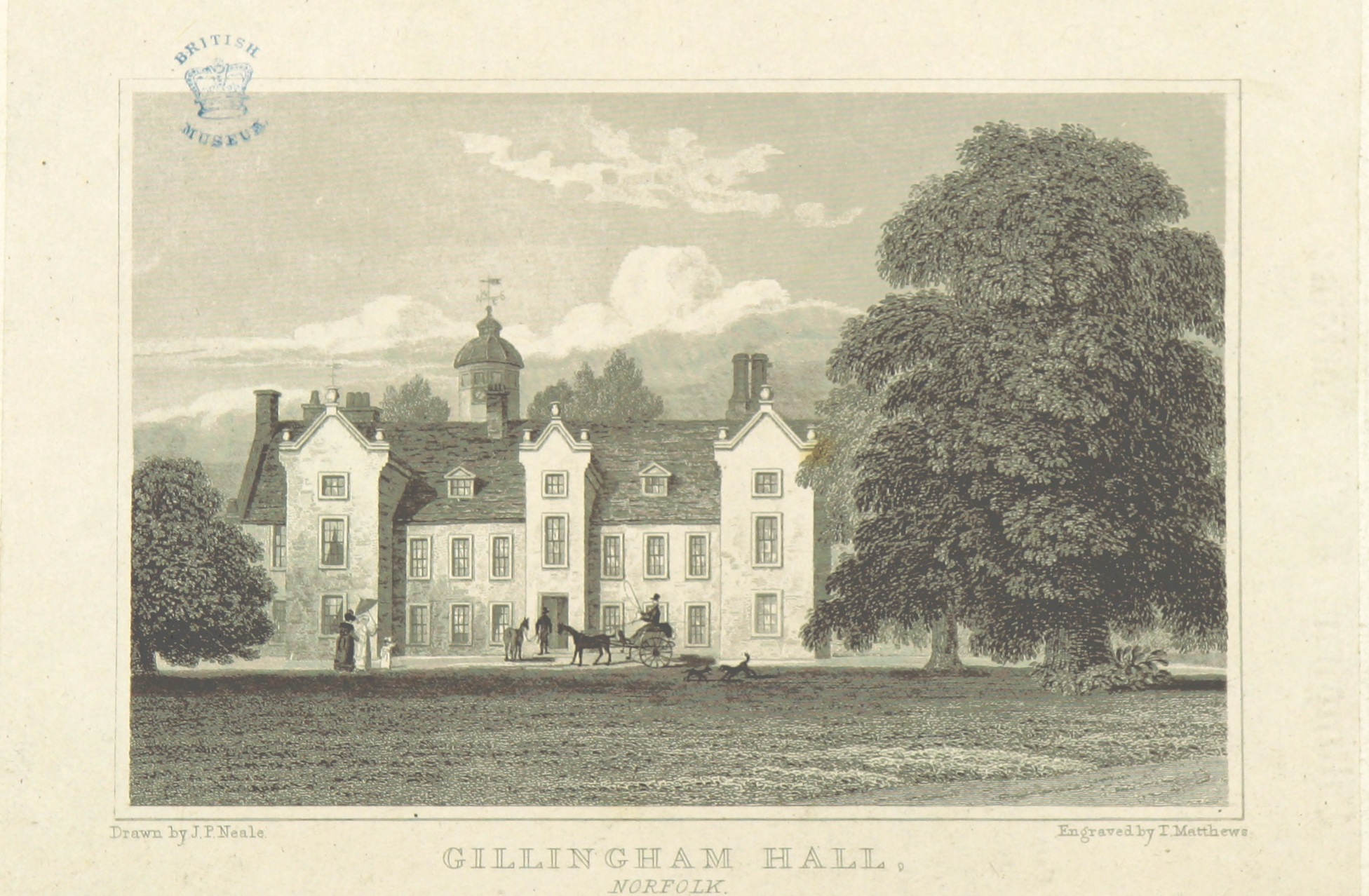
Gillingham Hall
Gillingham Hall is a Jacobean manor house in the village of Gillingham, Norfolk, England. It is a Grade II* Listed Building.The house has 10-bedrooms and...
Gillingham, Norfolk
Gillingham ( GHIL-ing-əm) is a small village and civil parish in the English county of Norfolk. The villages is located 1.5 miles (2.4 km) north-west...

Haughey Air AgustaWestland AW139 crash
On 13 March 2014, an AgustaWestland AW139 helicopter of Haughey Air crashed shortly after taking off at night in fog from Gillingham, Norfolk, United Kingdom...
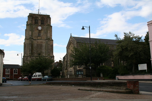
Beccles bell tower
Beccles bell tower is a free-standing Grade I listed edifice associated with the adjacent St. Michael's Church in the market town of Beccles, Suffolk,...
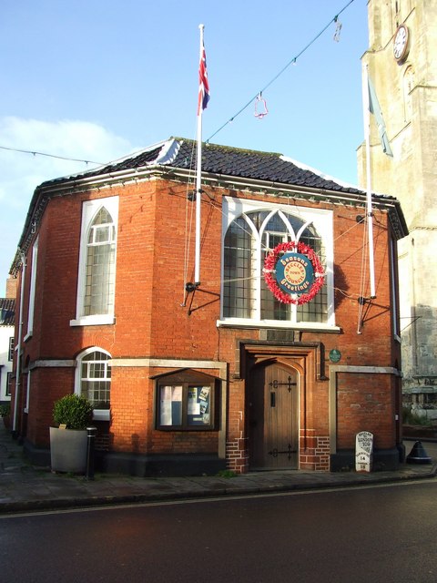
Beccles Town Hall
Beccles Town Hall is a municipal structure in New Market, Beccles, Suffolk, England. The structure, which accommodates the offices and meeting place of...

Beccles
Beccles ( BEK-əlz) is a market town and civil parish in the English county of Suffolk. The town is shown on the milestone as 109 miles (175 km) from London...
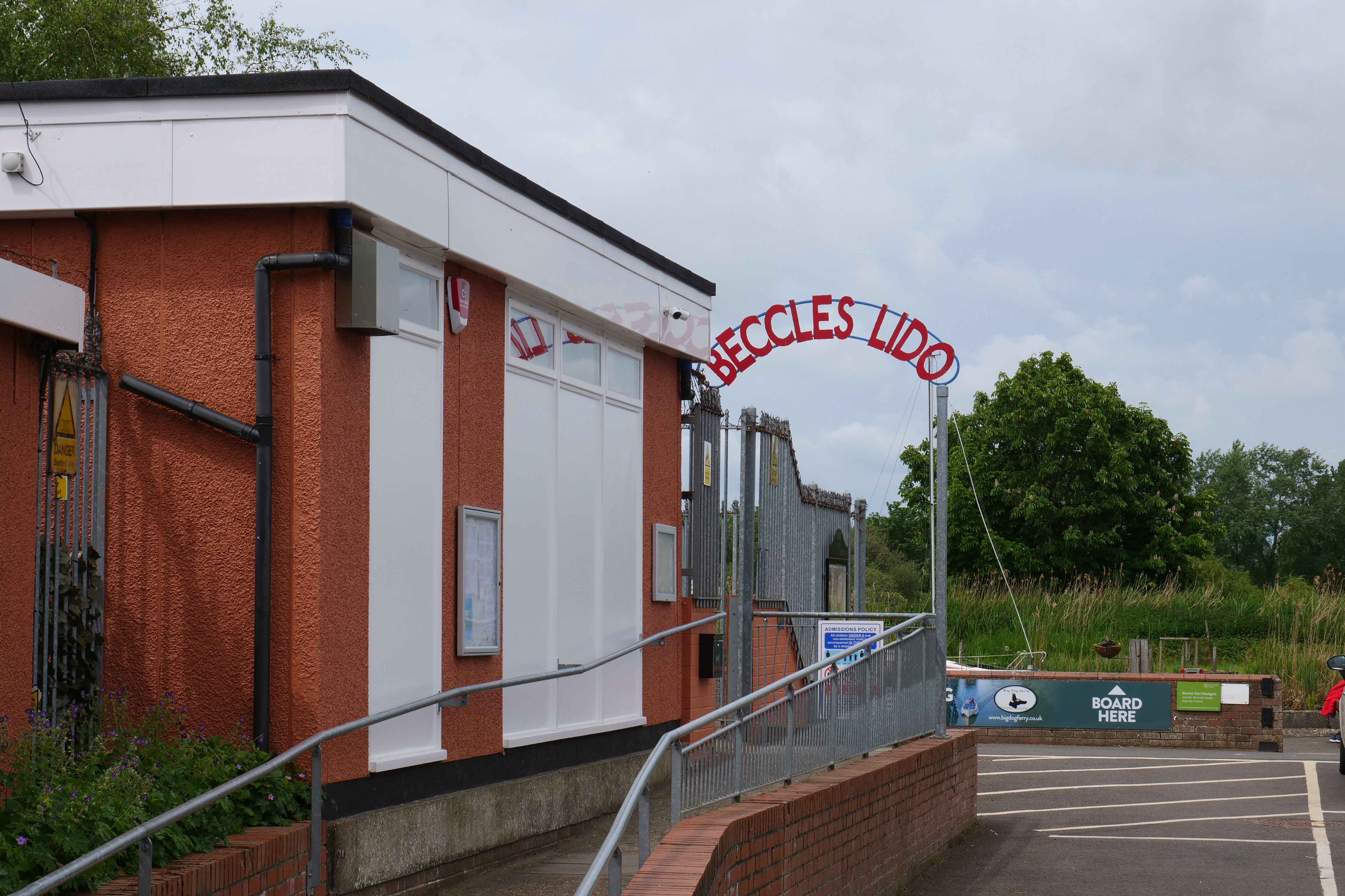
Beccles Lido
Beccles Lido is an open-air pool at Puddingmoor, Beccles, Suffolk, on the banks of the River Waveney. == Description == The lido is 30 x 16 metres with...
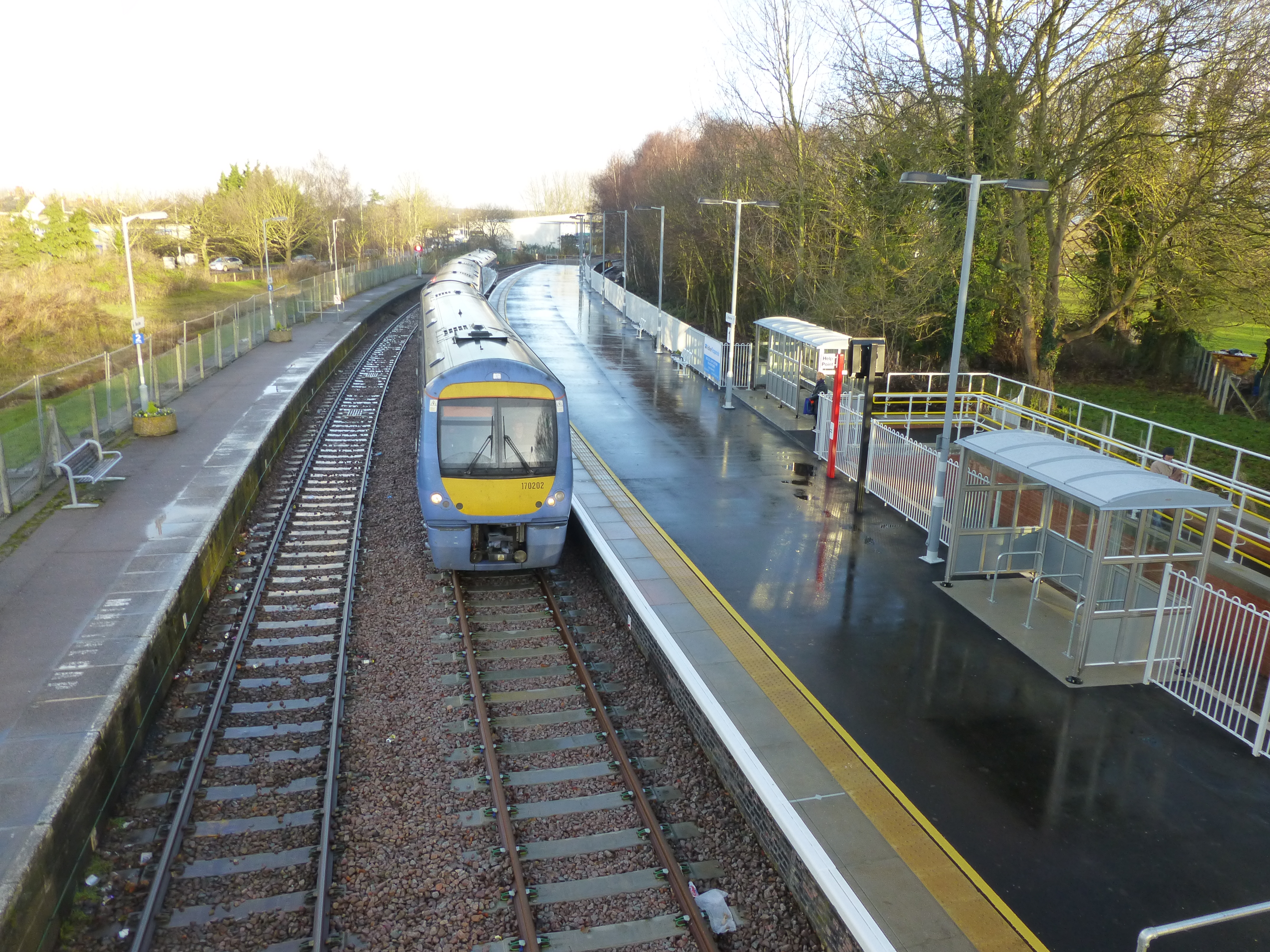
Beccles railway station
Beccles railway station is on the East Suffolk Line in the east of England, serving the town of Beccles, Suffolk. It is 40 miles 34 chains (65.1 km) down...
Nearby Amenities
Located within 500m of 52.470628,1.5602231Have you been to Gillingham Marshes?
Leave your review of Gillingham Marshes below (or comments, questions and feedback).