Gillingham

Civil Parish in Norfolk South Norfolk

England

Gillingham

Ink Factory Cottages, Barsham Looking less like a factory than it was when it was actively producing ink, having lost the chimney and boiler house at the far end.
The factory closed in the early 1890s and was owned by Messrs Mason and Mason, a well known London firm of ink manufacturers who took over the company from the previous owners, who had established the factory a few decades earlier. It is situated at the foot of the hill not far from Barsham Bridge and the headworks.
Ink Factory Cottages, Barsham Credit: Adrian S Pye

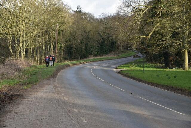
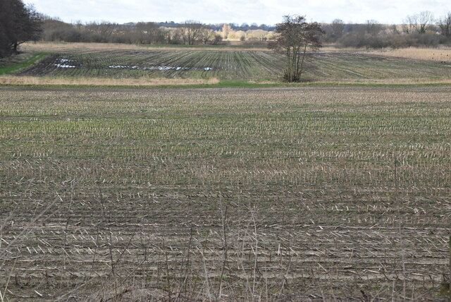
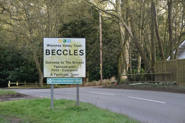
Gillingham is a civil parish located in the county of Norfolk, England. Situated approximately 4 miles southeast of the market town of Beccles, it covers an area of about 7.5 square miles. Gillingham is nestled in the picturesque Waveney Valley, surrounded by beautiful countryside and farmland.

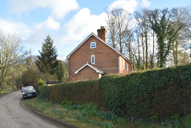
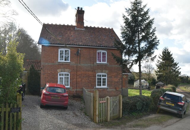
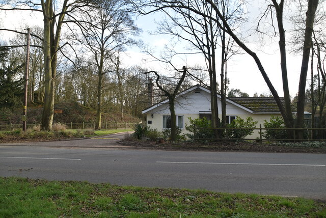
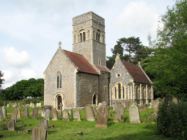
The parish is home to a population of around 800 people, living in a mix of residential and agricultural properties. The village itself is characterized by its charming rural atmosphere and traditional architecture. The centerpiece of Gillingham is its historic parish church, St. Mary's, which dates back to the 14th century. The church's tower provides a panoramic view of the surrounding landscape.

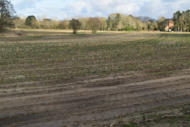
The local economy primarily relies on agriculture, with farms and agricultural businesses playing a vital role in the community. The fertile soil and favorable climate in the area make it conducive to various crops, including cereals and vegetables. Gillingham also benefits from its proximity to the Norfolk Broads, a network of rivers and lakes that attracts tourists and provides recreational opportunities, such as boating and fishing.

The village has limited amenities, with a small shop, a pub, and a primary school catering to the local population. However, residents have easy access to a wider range of services and facilities in nearby towns such as Beccles and Bungay.

Overall, Gillingham offers a peaceful and idyllic setting for residents and visitors alike, with its rich agricultural heritage, natural beauty, and close-knit community spirit.

If you have any feedback on the listing, please let us know in the comments section below.
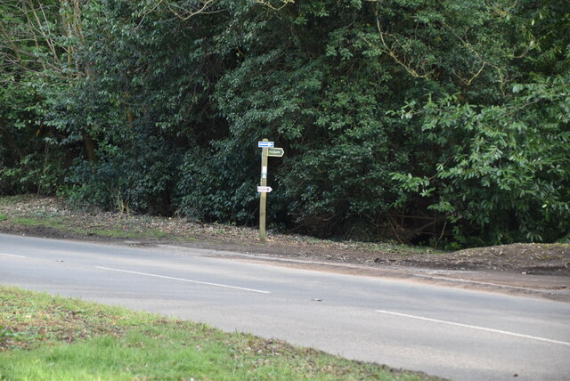
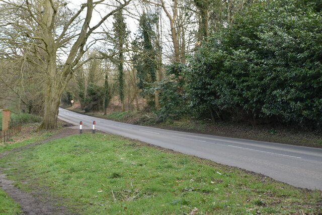
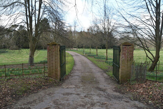
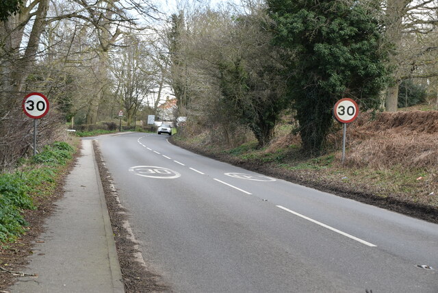
Gillingham Images

Images are sourced within 2km of 52.468914/1.549617 or Grid Reference TM4191. Thanks to Geograph Open Source API. All images are credited.

Ink Factory Cottages, Barsham Looking less like a factory than it was when it was actively producing ink, having lost the chimney and boiler house at the far end.
The factory closed in the early 1890s and was owned by Messrs Mason and Mason, a well known London firm of ink manufacturers who took over the company from the previous owners, who had established the factory a few decades earlier. It is situated at the foot of the hill not far from Barsham Bridge and the headworks.
Ink Factory Cottages, Barsham
Looking less like a factory than it was when it was actively producing ink, having lost the chimney and boiler house at the far end. The factory closed in the early 1890s and was owned by Messrs Mason and Mason, a well known London firm of ink manufacturers who took over the company from the previous owners, who had established the factory a few decades earlier. It is situated at the foot of the hill not far from Barsham Bridge and the headworks.
Crossroads, London Rd
Peddars Lane
Peddars Lane
St Mary's Rd <span class="nowrap"><a title="https://www.sabre-roads.org.uk/wiki/index.php?title=B1062" rel="nofollow ugc noopener" href="https://www.sabre-roads.org.uk/wiki/index.php?title=B1062">Link</a><img style="margin-left:2px;" alt="External link" title="External link - shift click to open in new window" src="https://s1.geograph.org.uk/img/external.png" width="10" height="10"/></span>
St Mary's Rd
House on London Rd <span class="nowrap"><a title="https://en.wikipedia.org/wiki/Beccles" rel="nofollow ugc noopener" href="https://en.wikipedia.org/wiki/Beccles">Link</a><img style="margin-left:2px;" alt="External link" title="External link - shift click to open in new window" src="https://s1.geograph.org.uk/img/external.png" width="10" height="10"/></span>
House on London Rd
St Mary's Rd <span class="nowrap"><a title="https://www.sabre-roads.org.uk/wiki/index.php?title=B1062" rel="nofollow ugc noopener" href="https://www.sabre-roads.org.uk/wiki/index.php?title=B1062">Link</a><img style="margin-left:2px;" alt="External link" title="External link - shift click to open in new window" src="https://s1.geograph.org.uk/img/external.png" width="10" height="10"/></span>
St Mary's Rd
Field of Stubble
Field of Stubble
Roos Hall Cottages
Roos Hall Cottages
Roos Hall Cottages
Roos Hall Cottages
Bungay Rd <span class="nowrap"><a title="https://www.sabre-roads.org.uk/wiki/index.php?title=B1062" rel="nofollow ugc noopener" href="https://www.sabre-roads.org.uk/wiki/index.php?title=B1062">Link</a><img style="margin-left:2px;" alt="External link" title="External link - shift click to open in new window" src="https://s1.geograph.org.uk/img/external.png" width="10" height="10"/></span>
Bungay Rd
Field of stubble
Field of stubble
Entering Beccles <span class="nowrap"><a title="https://en.wikipedia.org/wiki/Beccles" rel="nofollow ugc noopener" href="https://en.wikipedia.org/wiki/Beccles">Link</a><img style="margin-left:2px;" alt="External link" title="External link - shift click to open in new window" src="https://s1.geograph.org.uk/img/external.png" width="10" height="10"/></span>
Entering Beccles
Bungalow, Bungay Rd
Bungalow, Bungay Rd
Footpath off Bungay Rd
Bungay Rd <span class="nowrap"><a title="https://www.sabre-roads.org.uk/wiki/index.php?title=B1062" rel="nofollow ugc noopener" href="https://www.sabre-roads.org.uk/wiki/index.php?title=B1062">Link</a><img style="margin-left:2px;" alt="External link" title="External link - shift click to open in new window" src="https://s1.geograph.org.uk/img/external.png" width="10" height="10"/></span>
Bungay Rd
Entrance to Roos Hall
Bungay Rd <span class="nowrap"><a title="https://www.sabre-roads.org.uk/wiki/index.php?title=B1062" rel="nofollow ugc noopener" href="https://www.sabre-roads.org.uk/wiki/index.php?title=B1062">Link</a><img style="margin-left:2px;" alt="External link" title="External link - shift click to open in new window" src="https://s1.geograph.org.uk/img/external.png" width="10" height="10"/></span>
Bungay Rd
Show me another place!

Gillingham is located at Grid Ref: TM4191 (Lat: 52.468914, Lng: 1.549617)

Administrative County: Norfolk

District: South Norfolk

Police Authority: Norfolk

What 3 Words

///handbags.orange.tonight. Near Beccles, Suffolk

Related Wikis

Gillingham, Norfolk

Gillingham ( GHIL-ing-əm) is a small village and civil parish in the English county of Norfolk. The villages is located 1.5 miles (2.4 km) north-west...
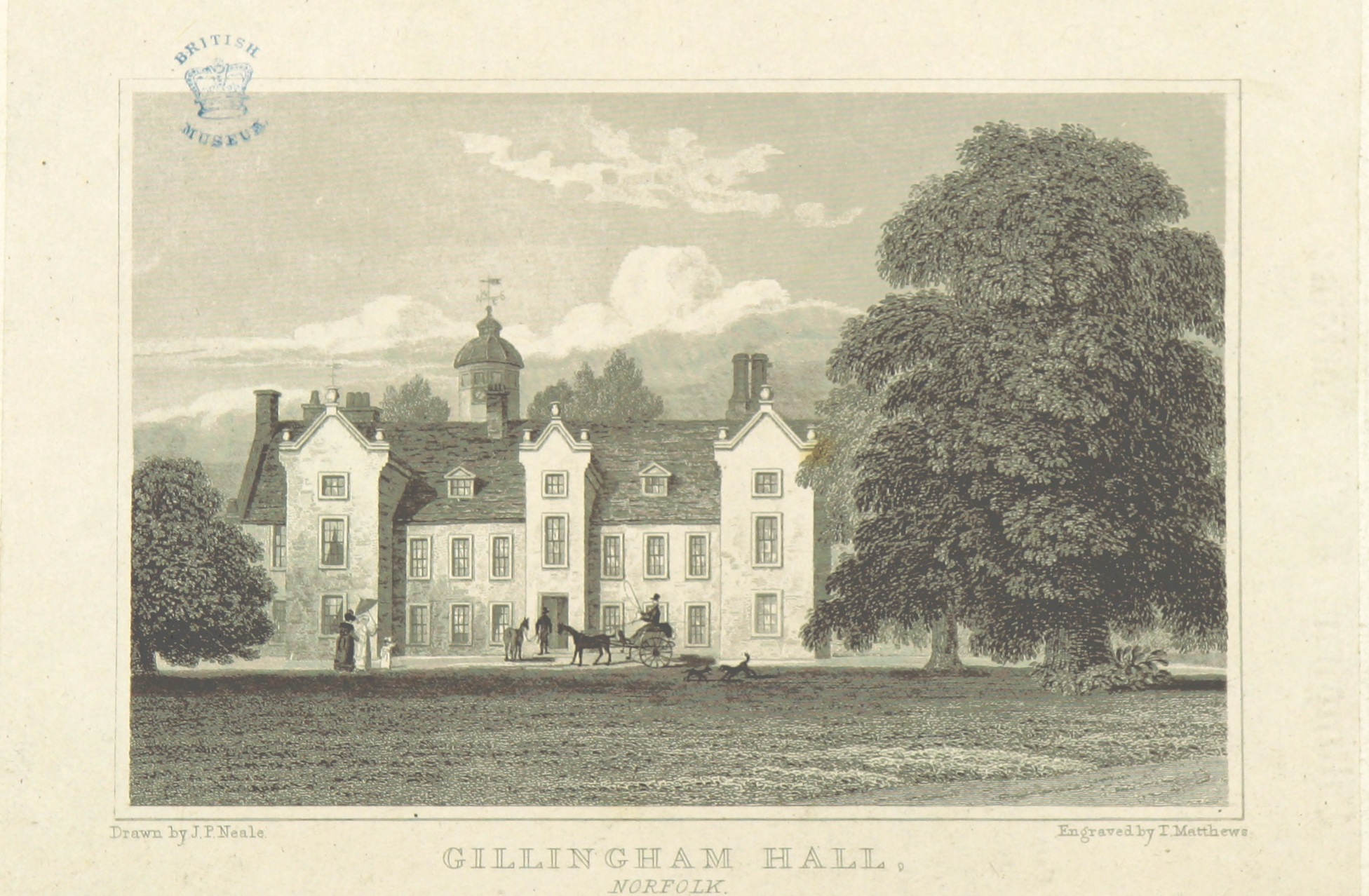
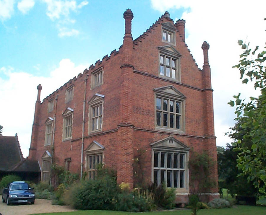
Gillingham Hall

Gillingham Hall is a Jacobean manor house in the village of Gillingham, Norfolk, England. It is a Grade II* Listed Building.The house has 10-bedrooms and...

Haughey Air AgustaWestland AW139 crash

On 13 March 2014, an AgustaWestland AW139 helicopter of Haughey Air crashed shortly after taking off at night in fog from Gillingham, Norfolk, United Kingdom...
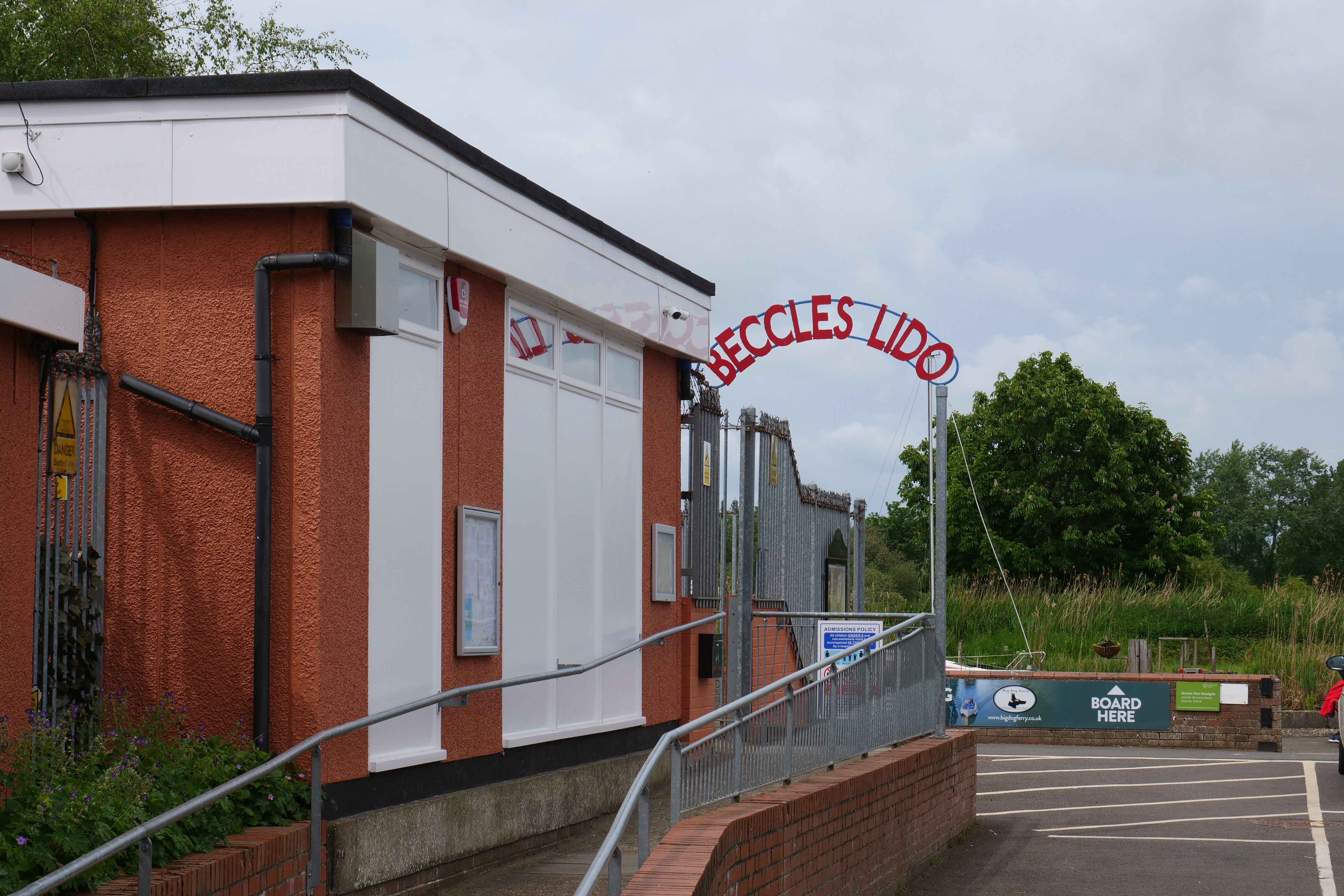
Beccles Lido

Beccles Lido is an open-air pool at Puddingmoor, Beccles, Suffolk, on the banks of the River Waveney. == Description == The lido is 30 x 16 metres with...
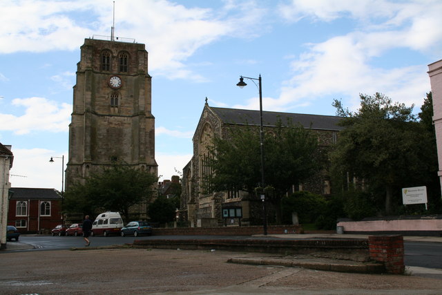
Beccles bell tower

Beccles bell tower is a free-standing Grade I listed edifice associated with the adjacent St. Michael's Church in the market town of Beccles, Suffolk,...
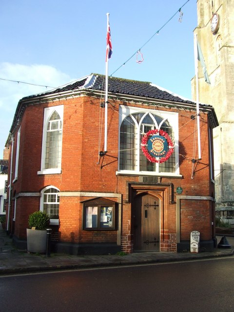
Beccles Town Hall

Beccles Town Hall is a municipal structure in New Market, Beccles, Suffolk, England. The structure, which accommodates the offices and meeting place of...

Beccles

Beccles ( BEK-əlz) is a market town and civil parish in the English county of Suffolk. The town is shown on the milestone as 109 miles (175 km) from London...

Roos Hall

Roos Hall (or sometimes Rose Hall) is a manor house and former manor ½ a mile (¾km) west of Beccles in Suffolk. It is a Grade I listed building.It is said...

Nearby Amenities

Located within 500m of 52.468914,1.549617
Bus Stop
Bus Shelter, adj
Bus: yes
Naptan AtcoCode: 2900G061
Naptan Bearing: S
Naptan BusStopType: CUS
Naptan CommonName: Bus Shelter
Naptan Indicator: adj
Naptan Locality: Gillingham
Naptan NaptanCode: nfoatajt
Naptan Street: The Street
Naptan Verified: no
Public Transport: platform
Source: naptan_import
Lat/Long: 52.4703462/1.5502861
Bus Stop
Emma's Hair Studio, opp
Bus: yes
Naptan AtcoCode: 2900G066
Naptan Bearing: E
Naptan CommonName: Emma's Hair Studio
Naptan Indicator: opp
Naptan Locality: Gillingham
Naptan NaptanCode: nfoatamd
Naptan Street: The Street
Naptan Verified: no
Public Transport: platform
Source: naptan_import
Lat/Long: 52.4703406/1.5489748
Bus Stop
Emma's Hair Studio, adj
Bus: yes
Naptan AtcoCode: 2900G067
Naptan Bearing: W
Naptan CommonName: Emma's Hair Studio
Naptan Indicator: adj
Naptan Locality: Gillingham
Naptan NaptanCode: nfoatamg
Naptan Street: The Street
Naptan Verified: no
Public Transport: platform
Source: naptan_import
Lat/Long: 52.4701514/1.5494431
Bus Stop
village hall, opp
Bus: yes
Naptan AtcoCode: 2900G068
Naptan Bearing: N
Naptan CommonName: village hall
Naptan Indicator: opp
Naptan Landmark: village hall
Naptan Locality: Gillingham
Naptan NaptanCode: nfoatamj
Naptan Street: Loddon Road
Naptan Verified: no
Public Transport: platform
Source: naptan_import
Lat/Long: 52.4705677/1.5500977
Bus Stop
Hamment Way, opp
Bus: yes
Naptan AtcoCode: 2900G069
Naptan Bearing: E
Naptan CommonName: Hamment Way
Naptan Indicator: opp
Naptan Landmark: Hamment Way
Naptan Locality: Gillingham
Naptan NaptanCode: nfogmwmt
Naptan ShortCommonName: Hamment Way
Naptan Street: The Street
Naptan Verified: no
Public Transport: platform
Source: naptan_import
Lat/Long: 52.4704599/1.5470991
Crossing
Crossing: unmarked
Lat/Long: 52.4706089/1.5471532
Noexit: yes
Lat/Long: 52.4708136/1.5487851
Noexit: yes
Lat/Long: 52.4708776/1.5488985
Crossing
Crossing: unmarked
Lat/Long: 52.4709274/1.5480075
Noexit: yes
Lat/Long: 52.4714841/1.5486711
Crossing
Crossing: unmarked
Lat/Long: 52.4715812/1.5480035
Noexit: yes
Lat/Long: 52.4716253/1.5486743
Noexit: yes
Lat/Long: 52.4722351/1.5484561
Noexit: yes
Lat/Long: 52.4723709/1.5484029
Gillingham
Place: village
Postal Code: NR34
Wikidata: Q2119963
Wikipedia: en:Gillingham, Norfolk
Lat/Long: 52.470771/1.5465927
Power: pole
Lat/Long: 52.4699858/1.5438379
Power: pole
Lat/Long: 52.4705414/1.5437883
Power: pole
Lat/Long: 52.4715185/1.5437185
Power: pole
Lat/Long: 52.4691485/1.551387
Power: pole
Lat/Long: 52.4690856/1.547007
Power: pole
Lat/Long: 52.4705161/1.5437695
Gillingham
Colour: white
Inscription: This sign was unveiled on 2nd May 1994 by Mrs M.A.M.Bramley in memory of Mr E.A. Bramley (“BRAM”) / Parish Councillor between 1953-1989
Man Made: village_sign
Material: metal
Lat/Long: 52.4716558/1.5500982
Give Way
Lat/Long: 52.4701027/1.5502592
Power: pole
Lat/Long: 52.4716713/1.5513012
Location Transition: yes
Power: pole
Transformer: distribution
Lat/Long: 52.4705275/1.5511966
Material: wood
Power: pole
Lat/Long: 52.4710912/1.5512529
Speed Display
Direction: 135
Lat/Long: 52.469068/1.5510122
Traffic Calming: island
Lat/Long: 52.4718342/1.5503117
Leisure: playground
Lat/Long: 52.4689745/1.5496261
Leisure: playground
Lat/Long: 52.4693821/1.549606
Defibrillator
Defibrillator Location: On exterior wall of village hall, facing car park.
Emergency: defibrillator
Ref GB The Circuit: 8BFFAF9D-8A6C-4D8F-8601-AD400102200F
Lat/Long: 52.4705086/1.5503622
Give Way
Lat/Long: 52.47193/1.5464217
Give Way
Lat/Long: 52.4709091/1.5472176
Give Way
Lat/Long: 52.4705287/1.5471357
Give Way
Lat/Long: 52.4702363/1.548798
Give Way
Direction: backward
Lat/Long: 52.4718649/1.5503911
The data included in this document is from www.openstreetmap.org. The data is made available under ODbL.

Have you been to Gillingham?

Leave your review of Gillingham below (or comments, questions and feedback).