Lower Stone
Settlement in Gloucestershire Stroud
England
Lower Stone
Lower Stone is a small village located in the county of Gloucestershire, England. It is situated within the Cotswolds Area of Outstanding Natural Beauty, surrounded by rolling hills and picturesque countryside. The village is part of the civil parish of Stonehouse and falls under the Stroud district.
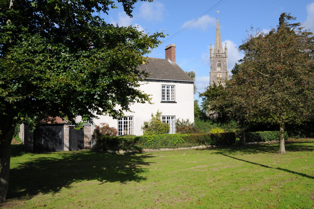
Lower Stone is known for its quaint and charming atmosphere, with traditional stone cottages lining the streets. The village has a close-knit community and offers a peaceful and tranquil setting for residents and visitors alike. The surrounding countryside provides ample opportunities for outdoor activities such as hiking, cycling, and horseback riding.
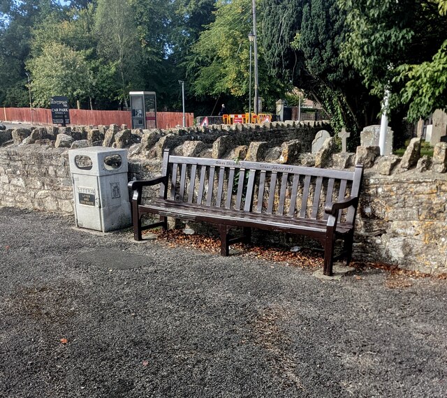
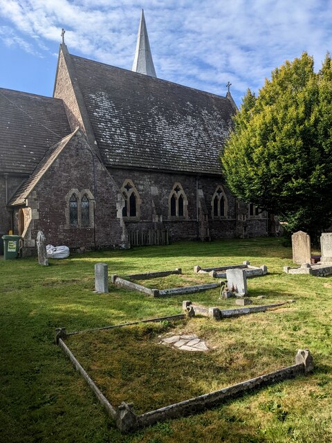
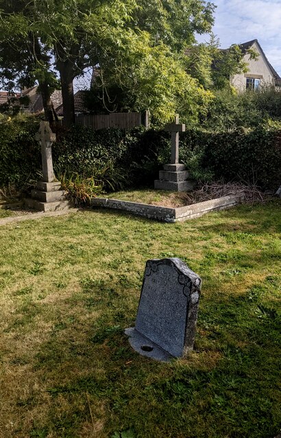
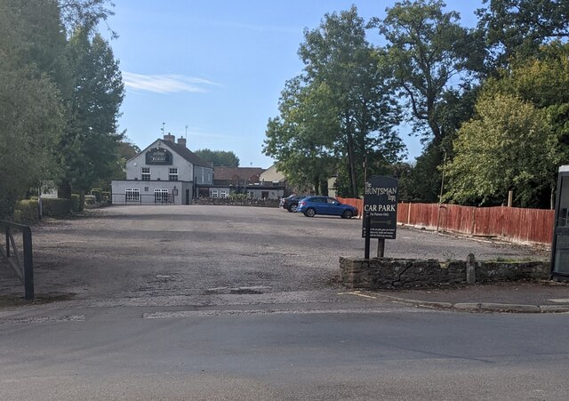
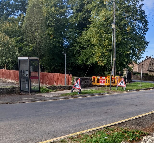
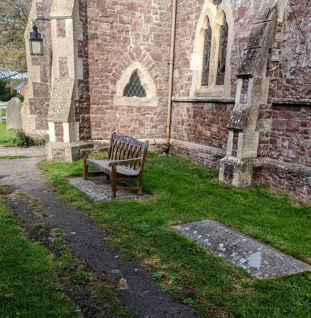
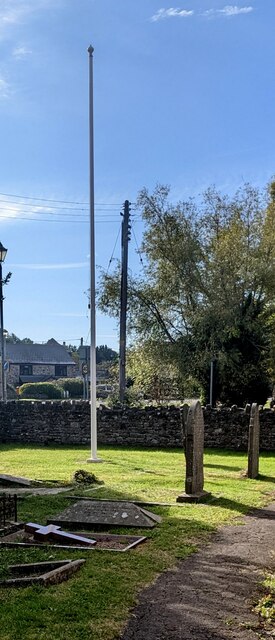
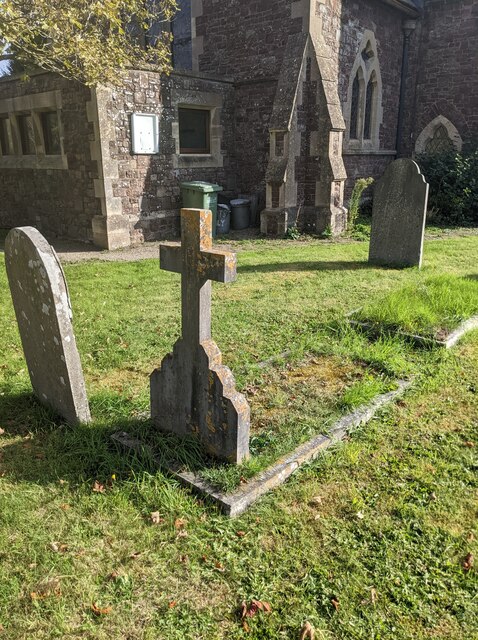
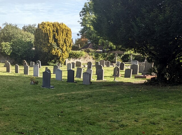
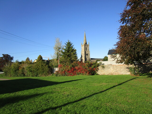
Despite its small size, Lower Stone has a few amenities to cater to the needs of its residents. There is a local pub that serves as a social hub for the community, offering a place to relax and enjoy a meal or a drink. The village also has a small church, adding to its historic character.
For those seeking a wider range of amenities, the nearby town of Stonehouse is only a short distance away. Stonehouse provides access to a variety of shops, supermarkets, schools, and medical facilities, ensuring that residents have everything they need within a convenient distance.
Overall, Lower Stone offers a peaceful and idyllic English village experience, with stunning natural surroundings and a friendly community. It is a place where residents can enjoy a slower pace of life while still having access to essential amenities in the nearby town.
If you have any feedback on the listing, please let us know in the comments section below.
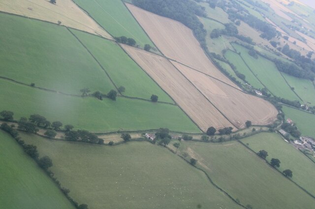
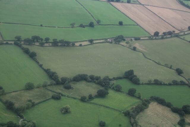
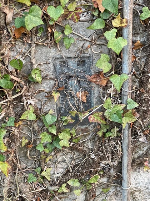
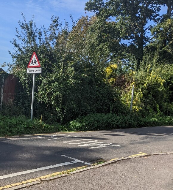
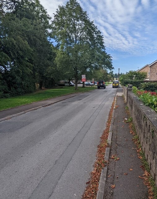
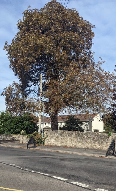
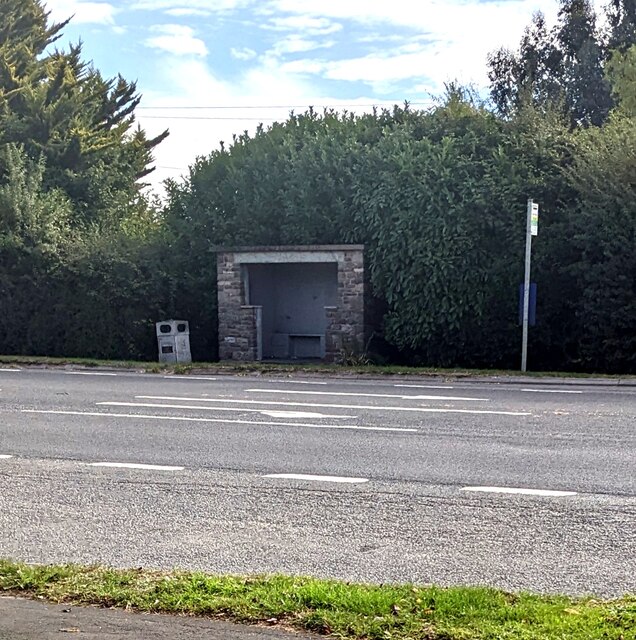
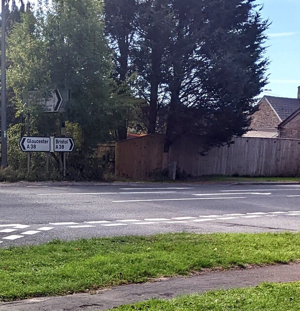
Lower Stone Images
Images are sourced within 2km of 51.649634/-2.475501 or Grid Reference ST6794. Thanks to Geograph Open Source API. All images are credited.
Lower Stone is located at Grid Ref: ST6794 (Lat: 51.649634, Lng: -2.475501)
Administrative County: Gloucestershire
District: Stroud
Police Authority: Gloucestershire
What 3 Words
///library.seated.crunched. Near Falfield, Gloucestershire
Nearby Locations
Related Wikis
Stone, Gloucestershire
Stone is a small village in the parish of Ham and Stone, Gloucestershire, England. It stands on the A38 road, just south-west of its crossing of the Little...
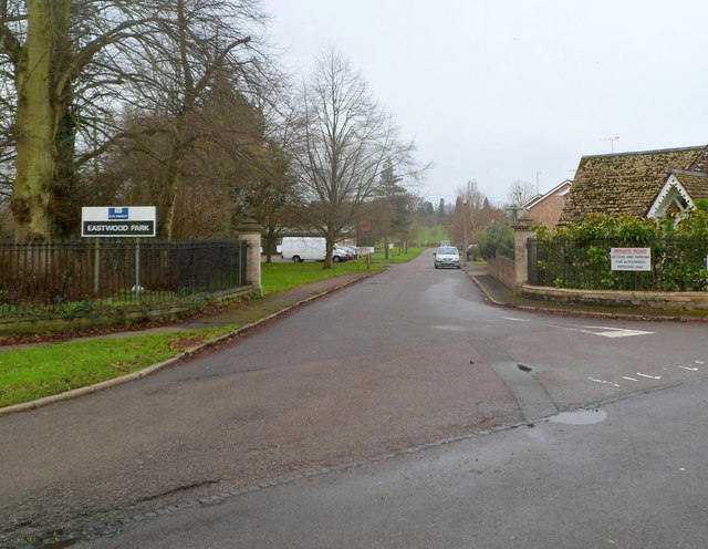
HM Prison Eastwood Park
HM Prison Eastwood Park is a women's closed category prison, located in the village of Falfield in South Gloucestershire, England. The prison is operated...

Falfield
Falfield is a village, located near the northern border of the South Gloucestershire district of Gloucestershire, England on the southern edge of the Berkeley...

Hill, Gloucestershire
Hill is a village and civil parish in South Gloucestershire, England, midway between the towns of Thornbury in South Gloucestershire and Berkeley in Gloucestershire...
Nearby Amenities
Located within 500m of 51.649634,-2.475501Have you been to Lower Stone?
Leave your review of Lower Stone below (or comments, questions and feedback).