Stondon, Lower

Settlement in Bedfordshire

England

Stondon, Lower

Track, Bridleway and Footpath between arable fields near Mayfield farm Looking south-eastward.
Track, Bridleway and Footpath between arable fields near Mayfield farm Credit: Peter Wood

Stondon, Lower is a small village located in Bedfordshire, England. Situated approximately 50 miles north of London, Stondon is nestled in the picturesque countryside, offering a peaceful and idyllic setting for its residents.

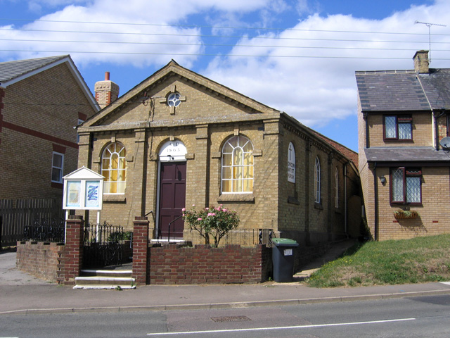
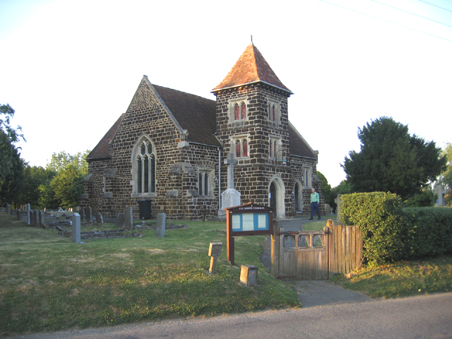
The village is known for its rich history, with evidence of human settlement dating back to Roman times. Stondon's charm lies in its traditional architecture, with many historic buildings still standing, including the 13th-century All Saints Church. The village is also home to several well-preserved thatched cottages, adding to its old-world charm.

Despite its small size, Stondon boasts a strong sense of community. The village is served by a local primary school, providing education for the younger residents. Additionally, there are a few shops, including a convenience store and a post office, catering to the daily needs of the villagers.

Stondon offers ample opportunities for outdoor activities and exploration. The surrounding countryside is dotted with walking trails, allowing residents to immerse themselves in the natural beauty of the area. The village is also close to several larger towns, such as Bedford and Luton, providing access to a wider range of amenities and services.

Overall, Stondon, Lower is a charming and historic village that offers a tranquil and close-knit community for its residents. With its picturesque scenery and convenient location, it provides an ideal escape from the hustle and bustle of city life.

If you have any feedback on the listing, please let us know in the comments section below.

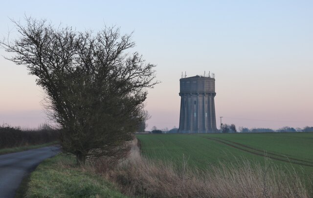
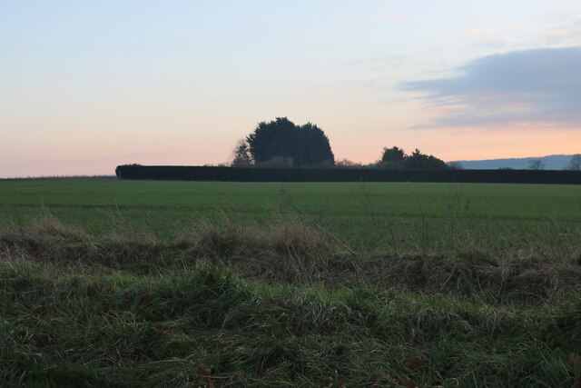
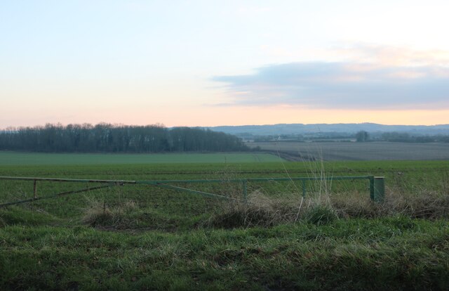
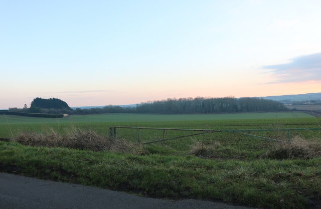
Stondon, Lower Images

Images are sourced within 2km of 52.001403/-0.319623 or Grid Reference TL1535. Thanks to Geograph Open Source API. All images are credited.

Track, Bridleway and Footpath between arable fields near Mayfield farm Looking south-eastward.
Track, Bridleway and Footpath between arable fields near Mayfield farm
Looking south-eastward.
Brittains Rise, Lower Stondon Looking south-westward.
Brittains Rise, Lower Stondon
Looking south-westward.
The Pastures, Lower Stondon Looking north-eastward.
The Pastures, Lower Stondon
Looking north-eastward.
Hitchin Road (B659) at Henlow Camp Looking north-eastward.
Hitchin Road (B659) at Henlow Camp
Looking north-eastward.
Shops on Station Road, Lower Stondon
Station Road, Lower Stondon
Mayfield Crescent, Lower Stondon
Meppershall water tower
Field by Stondon Road, Meppershall
Meppershall water tower
Bends on Meppershall Road, Upper Stondon
Mayfield Crescent at the junction of Station Road
View from Stondon Road, Meppershall
Field by Stondon Road, Meppershall Looking towards The Spinney
Field by Stondon Road, Meppershall
Looking towards The Spinney
View from Meppershall Road, Upper Stondon
Hillside Road, Lower Stondon
Show me another place!

Stondon, Lower is located at Grid Ref: TL1535 (Lat: 52.001403, Lng: -0.319623)

Unitary Authority: Central Bedfordshire

Police Authority: Bedfordshire

What 3 Words

///highlight.houseboat.polices. Near Stondon, Bedfordshire

Related Wikis

Stondon

Stondon is a civil parish located in the Central Bedfordshire district of Bedfordshire, England. The parish includes the settlements of Lower Stondon and...

Lower Stondon

Lower Stondon is a small village in the Central Bedfordshire district of Bedfordshire, England. It is located close to the border with Hertfordshire, around...

Upper Stondon

Upper Stondon is a village in Bedfordshire, England, part of the wider Stondon civil parish. Upper Stondon is a very small settlement with few amenities...

Henlow Stadium

Henlow Stadium is a greyhound track located at Stondon, in the English county of Bedfordshire, slightly to the north of Hitchin. The stadium has a restaurant...

Nearby Amenities

Located within 500m of 52.001403,-0.319623
Lower Stondon
Created By: Potlatch 0.4a
Place: village
Source: local_knowledge
Wikidata: Q1520746
Lat/Long: 52.001257/-0.3205738
Mini Roundabout
Direction: clockwise
Lat/Long: 52.0013611/-0.319393
Turning Circle
Turning Circle: knuckle
Lat/Long: 52.0003884/-0.3180852
Turning Circle
Turning Circle: knuckle
Lat/Long: 51.9996439/-0.3183407
Turning Circle
Turning Circle: knuckle
Lat/Long: 52.0009542/-0.3192045
Turning Circle
Turning Circle: knuckle
Lat/Long: 52.0032066/-0.3166754
Barrier: kissing_gate
Foot: yes
Lat/Long: 51.9988852/-0.3188126
Place Of Worship
Stondon Baptist Church
Created By: Potlatch 0.10f
Denomination: baptist
Religion: christian
Lat/Long: 52.0032314/-0.317939
Post Box
Post Box Type: pillar
Royal Cypher: EIIR
Royal Cypher Wikidata: Q33102113
Lat/Long: 52.0008367/-0.3205209
Traffic Calming: bump
Lat/Long: 51.9993906/-0.3202817
Post Office
Stondon Local
Addr City: Henlow
Addr Country: GB
Addr Housenumber: 14
Addr Postcode: SG16 6JT
Addr Street: Brittains Rise
Addr Suburb: Lower Stondon
Fhrs Authority: Central Bedfordshire
Fhrs Id: 736022
Fhrs Local Authority Id: 153252
Shop: convenience
Lat/Long: 52.0009215/-0.320839
Barrier: kissing_gate
Foot: yes
Lat/Long: 52.0037066/-0.3232018
Traffic Calming: bump
Lat/Long: 51.9990302/-0.3193439
Back in Style
Shop: hairdresser
Lat/Long: 52.0009752/-0.3207733
Restaurant
Bamboo Tree
Addr City: Henlow
Addr Country: GB
Addr Housenumber: 27
Addr Postcode: SG16 6JY
Addr Street: Fakeswell Lane
Addr Suburb: Lower Stondon
Fhrs Authority: Central Bedfordshire
Fhrs Id: 1035259
Fhrs Local Authority Id: 166542
Lat/Long: 51.9989818/-0.3204677
Kindergarten
Stondon Stompers Pre-School
Addr City: Henlow
Addr Country: GB
Addr Housename: Village Hall
Addr Postcode: SG16 6LQ
Addr Street: Hillside Road
Addr Suburb: Lower Stondon
Fhrs Authority: Central Bedfordshire
Fhrs Id: 1173492
Fhrs Local Authority Id: 82023
Lat/Long: 52.0021044/-0.3203952
Restaurant
Mount Pleasant Golf Club
Addr City: Henlow
Addr Country: GB
Addr Housename: Mount Pleasant Golf Course
Addr Postcode: SG16 6JL
Addr Street: Station Road
Addr Suburb: Lower Stondon
Fhrs Authority: Central Bedfordshire
Fhrs Id: 862673
Fhrs Local Authority Id: 142091
Lat/Long: 52.0023603/-0.3170639
Turning Circle
Turning Circle: knuckle
Lat/Long: 51.9975421/-0.3191355
Turning Circle
Turning Circle: knuckle
Lat/Long: 51.9983881/-0.3185287
Crossing
Lat/Long: 51.9980742/-0.3184527
Parking
Lat/Long: 51.9991728/-0.3203989
Traffic Calming: bump
Lat/Long: 51.9996036/-0.3208259
Traffic Calming: bump
Lat/Long: 51.9992099/-0.3197854
Direction: 215
Fixme: extra panels - thermal?
Generator Method: photovoltaic
Generator Output Electricity: yes
Generator Solar Modules: 12
Generator Source: solar
Generator Type: solar_photovoltaic_panel
Location: roof
Power: generator
Lat/Long: 52.0008424/-0.3179711
Direction: 235
Generator Method: photovoltaic
Generator Output Electricity: yes
Generator Solar Modules: 9
Generator Source: solar
Generator Type: solar_photovoltaic_panel
Location: roof
Power: generator
Lat/Long: 52.0025862/-0.321064
Direction: 235
Generator Method: photovoltaic
Generator Output Electricity: yes
Generator Solar Modules: 9
Generator Source: solar
Generator Type: solar_photovoltaic_panel
Location: roof
Power: generator
Lat/Long: 52.0026475/-0.3211371
The data included in this document is from www.openstreetmap.org. The data is made available under ODbL.

Have you been to Stondon, Lower?

Leave your review of Stondon, Lower below (or comments, questions and feedback).