Lowerstone Wood
Wood, Forest in Gloucestershire Stroud
England
Lowerstone Wood
Lowerstone Wood is a picturesque forest located in Gloucestershire, England. Covering an area of approximately 200 acres, it is a popular destination for nature lovers, hikers, and wildlife enthusiasts. The wood is situated just a few miles outside the charming village of Lowerstone, adding to its accessibility and appeal.
The wood is predominantly composed of deciduous trees such as oak, beech, and ash, creating a vibrant and diverse ecosystem. The foliage provides a colorful display during the autumn months, attracting visitors from far and wide. The forest floor is carpeted with a rich layer of moss, ferns, and wildflowers, adding to the beauty of the surroundings.
Lowerstone Wood is home to a variety of wildlife species. Visitors may spot squirrels darting between the trees, while birdwatchers can observe species such as woodpeckers, thrushes, and owls. The wood also supports a thriving population of deer, which can occasionally be seen grazing in the early morning or evening hours.
The wood offers numerous walking trails and paths, allowing visitors to explore its natural wonders at their own pace. These trails vary in length and difficulty, catering to both casual strollers and avid hikers. Along the way, benches and picnic spots can be found, providing opportunities for relaxation and appreciation of the tranquil atmosphere.
Lowerstone Wood is managed by a local conservation organization, ensuring the preservation of its natural beauty and the protection of its wildlife. It is an enchanting destination that offers a peaceful retreat from the hustle and bustle of everyday life, inviting visitors to immerse themselves in the wonders of nature.
If you have any feedback on the listing, please let us know in the comments section below.
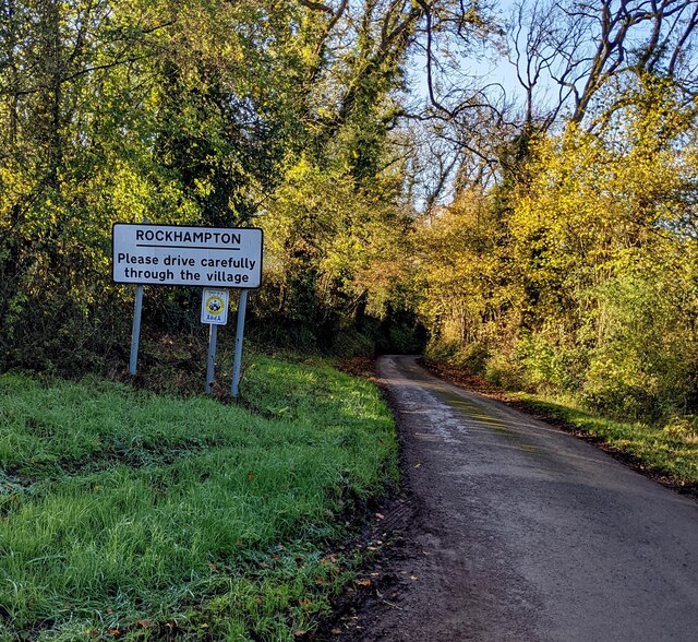
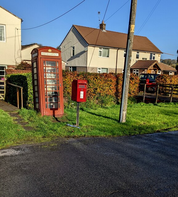
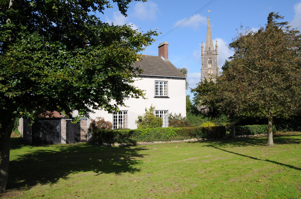
Lowerstone Wood Images
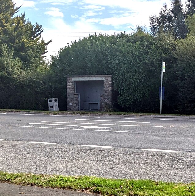
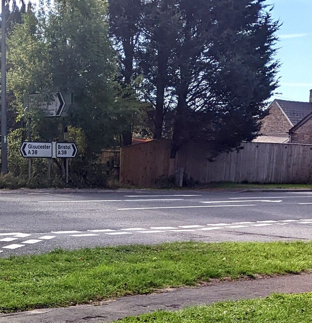
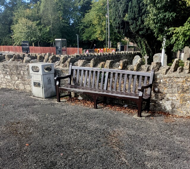
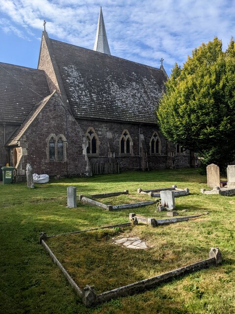
Images are sourced within 2km of 51.648983/-2.4743261 or Grid Reference ST6794. Thanks to Geograph Open Source API. All images are credited.
Lowerstone Wood is located at Grid Ref: ST6794 (Lat: 51.648983, Lng: -2.4743261)
Administrative County: Gloucestershire
District: Stroud
Police Authority: Gloucestershire
What 3 Words
///applauded.undulation.boss. Near Falfield, Gloucestershire
Nearby Locations
Related Wikis
Stone, Gloucestershire
Stone is a small village in the parish of Ham and Stone, Gloucestershire, England. It stands on the A38 road, just south-west of its crossing of the Little...
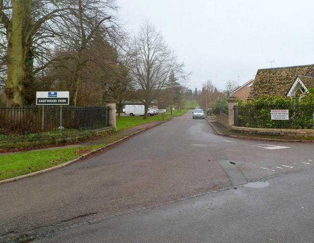
HM Prison Eastwood Park
HM Prison Eastwood Park is a women's closed category prison, located in the village of Falfield in South Gloucestershire, England. The prison is operated...

Falfield
Falfield is a village, located near the northern border of the South Gloucestershire district of Gloucestershire, England on the southern edge of the Berkeley...

Hill, Gloucestershire
Hill is a village and civil parish in South Gloucestershire, England, midway between the towns of Thornbury in South Gloucestershire and Berkeley in Gloucestershire...
Nearby Amenities
Located within 500m of 51.648983,-2.4743261Have you been to Lowerstone Wood?
Leave your review of Lowerstone Wood below (or comments, questions and feedback).