Moorslade
Settlement in Gloucestershire
England
Moorslade
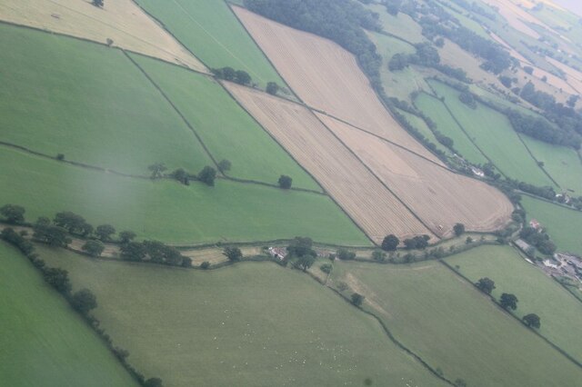
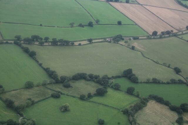
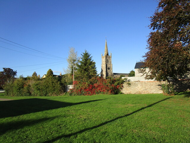
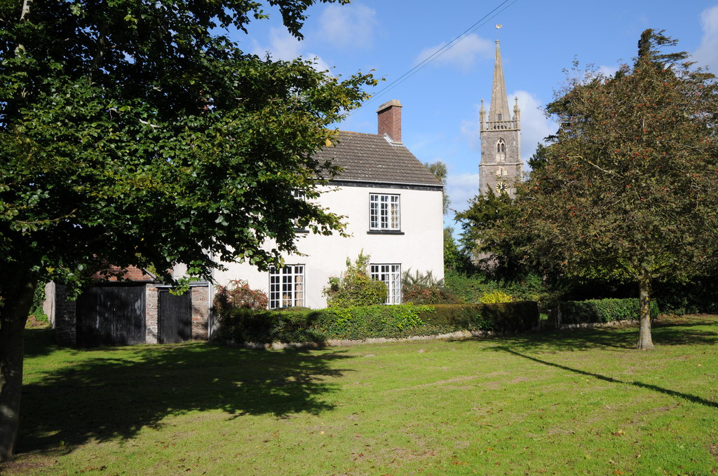
Moorslade is a small village located in the county of Gloucestershire, England. Nestled amidst the picturesque Cotswold Hills, the village is known for its idyllic charm and rural beauty. With a population of around 300 residents, Moorslade offers a peaceful and close-knit community.
The village is characterized by its traditional Cotswold stone houses, which add to its quintessential English countryside appeal. The surrounding landscape is dominated by rolling hills, lush green fields, and meandering streams, making it a haven for nature lovers and outdoor enthusiasts. Walking and hiking trails in the area provide ample opportunities to explore the breathtaking scenery.
Despite its small size, Moorslade boasts a strong sense of community spirit. The village has a local pub, The Moor's Rest, where residents often gather to socialize and enjoy a pint. The pub also serves as a venue for community events, such as quiz nights and live music performances.
Moorslade is conveniently located near the larger towns of Cheltenham and Gloucester, which provide access to a wider range of amenities, including shopping centers, schools, and healthcare facilities. The village itself has a small primary school, St. Mary's, which caters to the educational needs of local children.
Overall, Moorslade offers a tranquil and picturesque setting, making it an appealing place to live for those seeking a quiet rural lifestyle amidst the natural beauty of the Cotswolds.
If you have any feedback on the listing, please let us know in the comments section below.
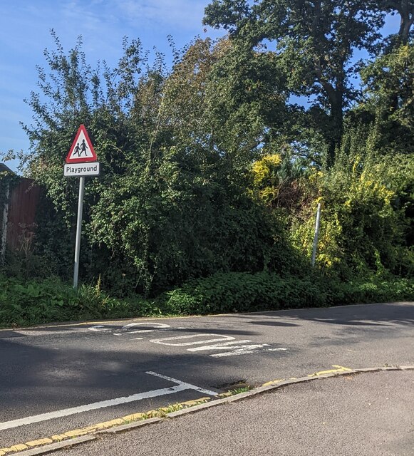
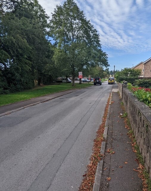
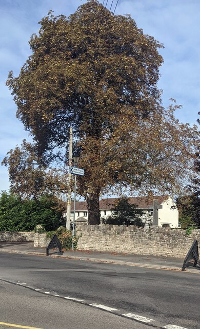
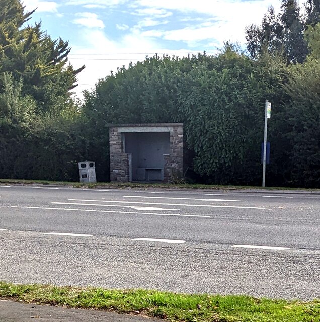
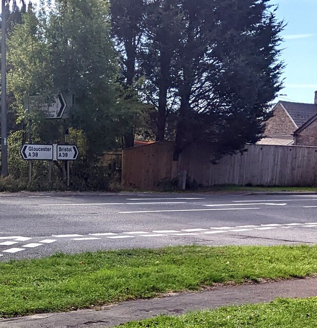
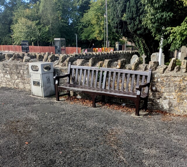
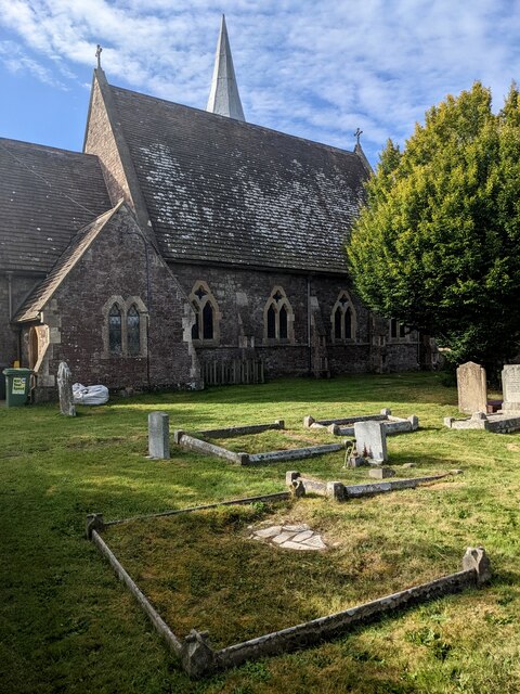
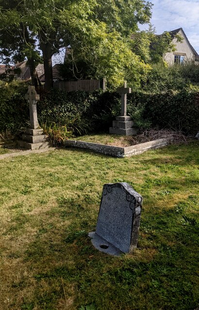
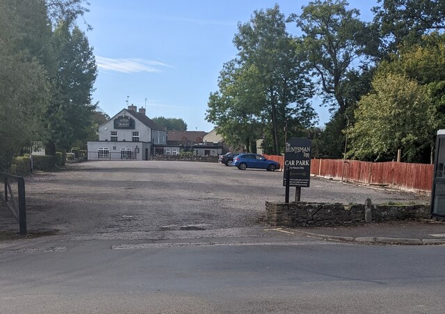
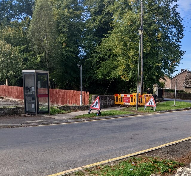
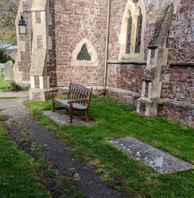
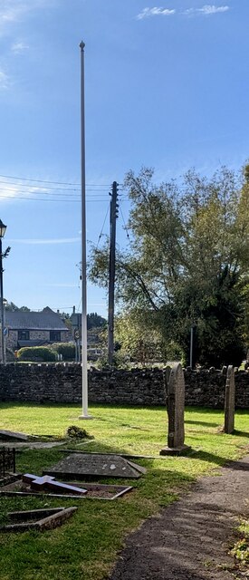
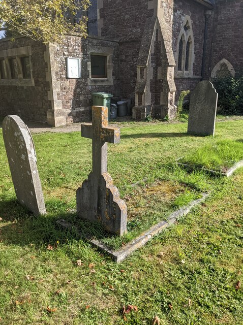
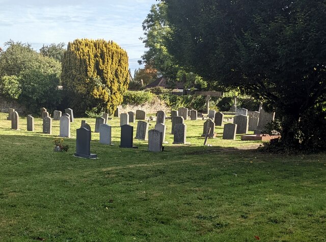
Moorslade Images
Images are sourced within 2km of 51.645471/-2.4665574 or Grid Reference ST6794. Thanks to Geograph Open Source API. All images are credited.
Moorslade is located at Grid Ref: ST6794 (Lat: 51.645471, Lng: -2.4665574)
Unitary Authority: South Gloucestershire
Police Authority: Avon and Somerset
What 3 Words
///painter.doted.firepower. Near Falfield, Gloucestershire
Nearby Locations
Related Wikis

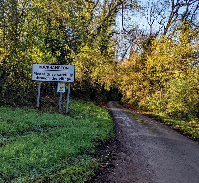
Falfield
Falfield is a village, located near the northern border of the South Gloucestershire district of Gloucestershire, England on the southern edge of the Berkeley...
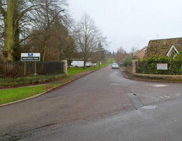
HM Prison Eastwood Park
HM Prison Eastwood Park is a women's closed category prison, located in the village of Falfield in South Gloucestershire, England. The prison is operated...
Stone, Gloucestershire
Stone is a small village in the parish of Ham and Stone, Gloucestershire, England. It stands on the A38 road, just south-west of its crossing of the Little...

Tortworth Court
Tortworth Court is a Victorian mansion in Tortworth near Thornbury, South Gloucestershire. England. It was built in Tudor style for the 2nd Earl of Ducie...
Nearby Amenities
Located within 500m of 51.645471,-2.4665574Have you been to Moorslade?
Leave your review of Moorslade below (or comments, questions and feedback).