Simpool Head
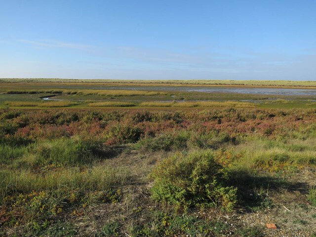
Coastal Marsh, Saltings in Norfolk North Norfolk
England
Simpool Head
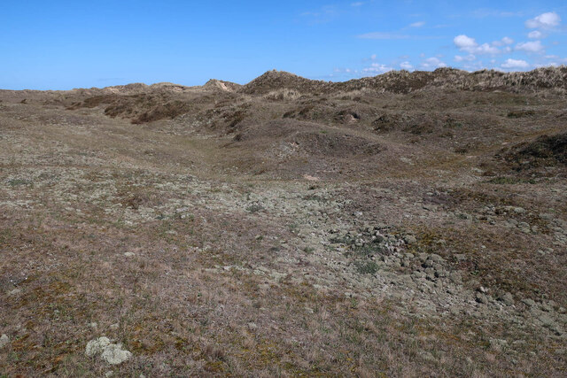
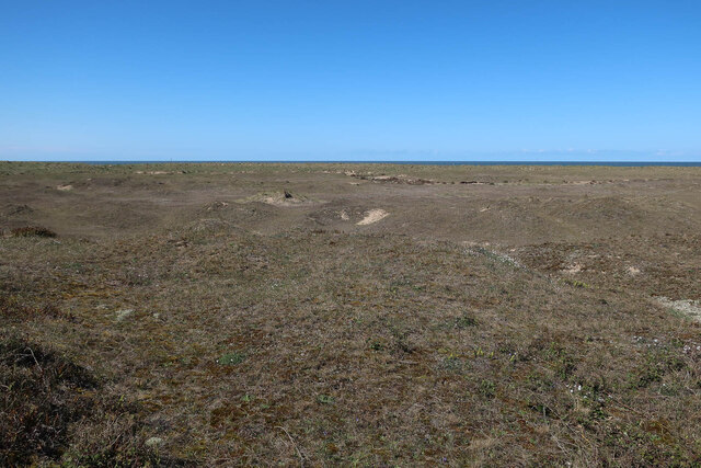
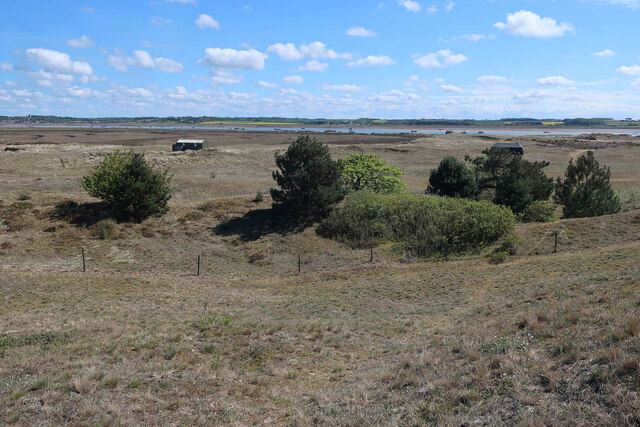
Simpool Head is a coastal marsh area located in Norfolk, England. Situated within the larger Norfolk Coast Area of Outstanding Natural Beauty, it is known for its stunning natural landscapes and diverse wildlife.
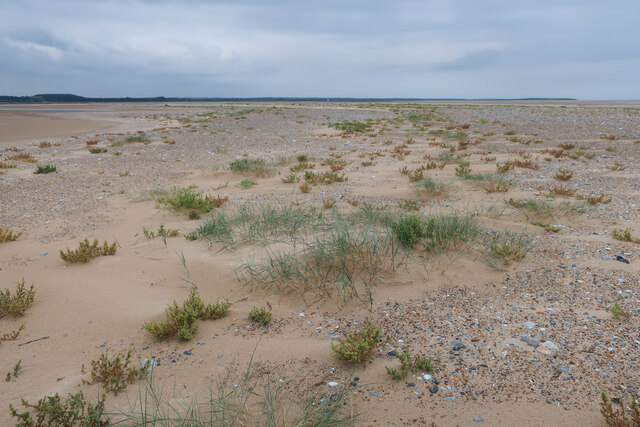
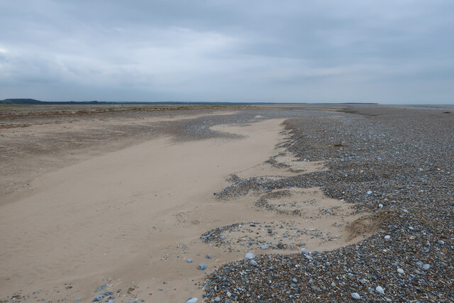
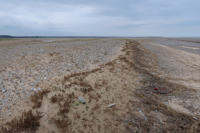
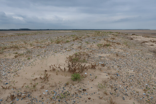
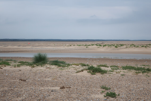
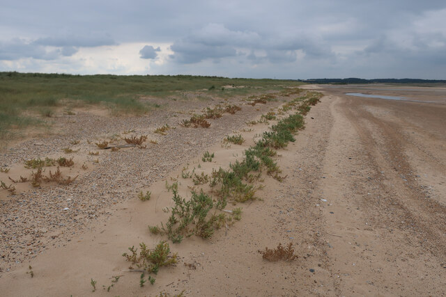
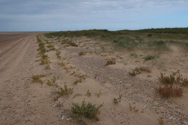
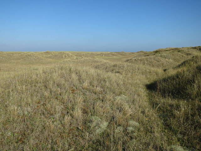
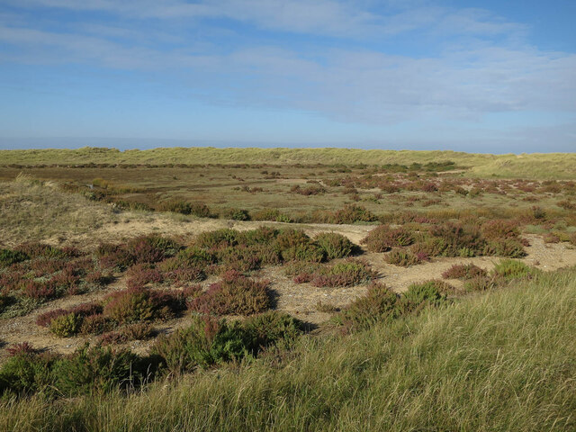
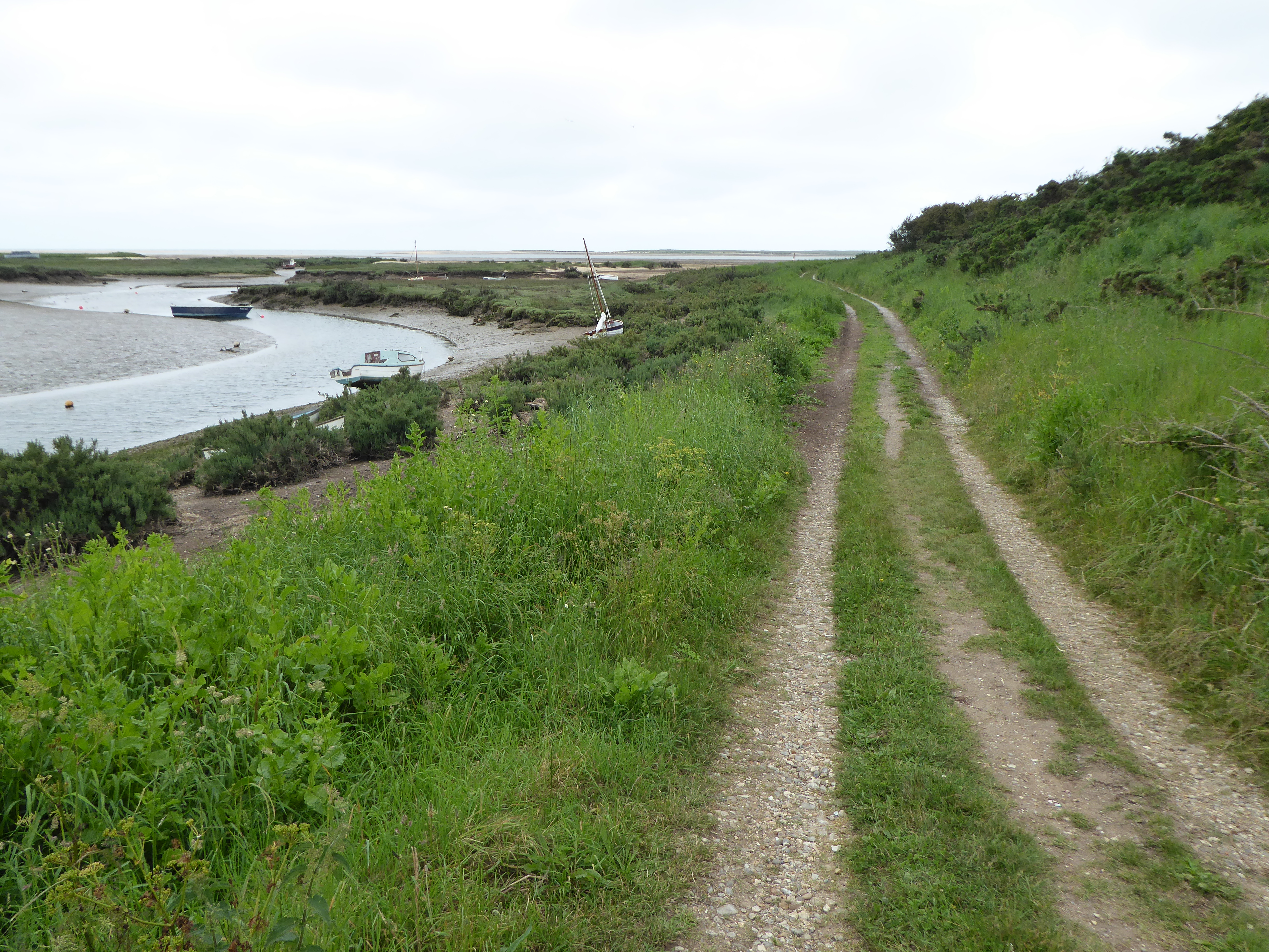
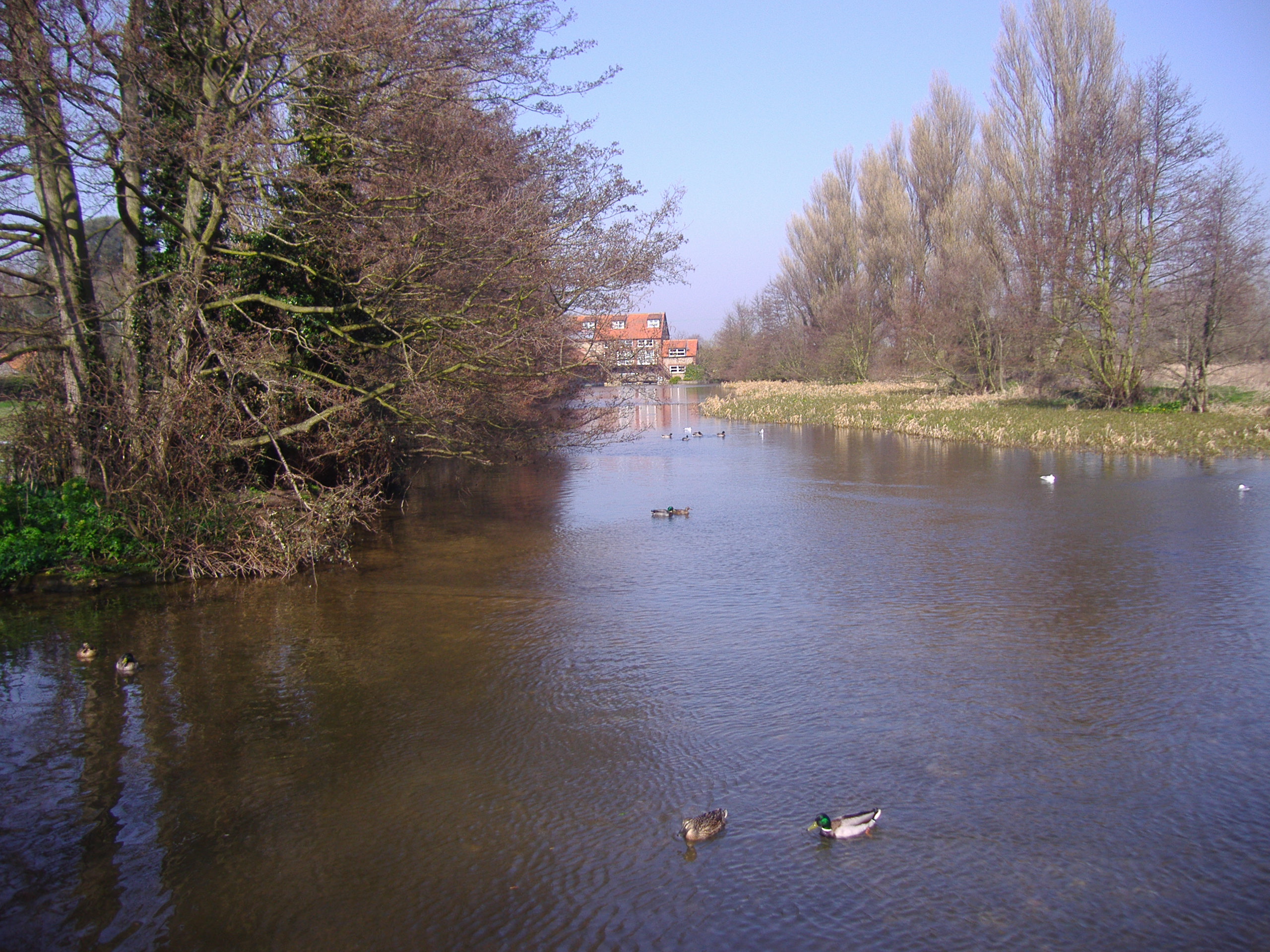
Covering an area of approximately 2 square kilometers, Simpool Head is characterized by its vast expanse of salt marshes and saltings. These marshes are formed by the deposition of sediments carried by tidal currents, creating a unique and dynamic environment. The area is influenced by the regular ebb and flow of the tides, which shape the contours of the marshland and allow for the growth of specialized vegetation.
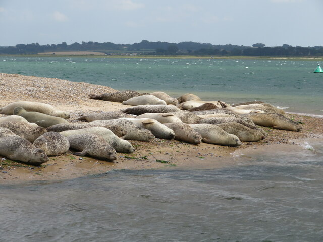
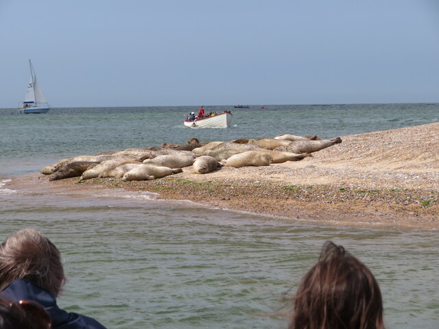
The marshes of Simpool Head provide a vital habitat for a variety of plant and animal species. The salt-tolerant vegetation, such as samphire and sea lavender, thrives in the brackish water and muddy soils, creating a vibrant and colorful landscape during the summer months. The marshes also support a rich array of birdlife, including wading birds like oystercatchers, redshanks, and curlews, as well as migratory species like dunlins and sandpipers.
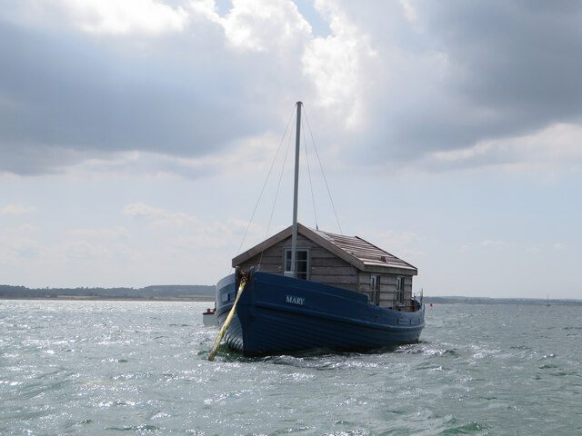
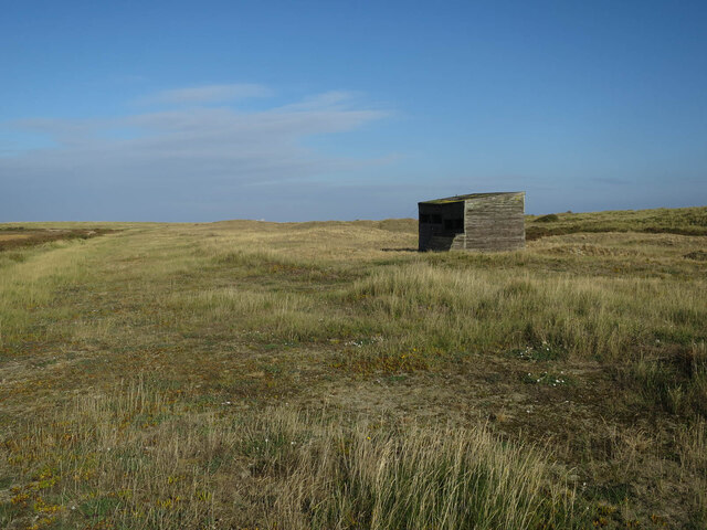
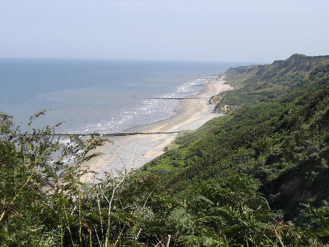
In addition to its ecological importance, Simpool Head offers visitors the opportunity to engage in recreational activities such as birdwatching, walking, and photography. The area is home to several footpaths and trails that allow visitors to explore the marshes and enjoy the breathtaking coastal views. The nearby villages of Brancaster and Burnham Deepdale provide amenities and accommodation options for those wishing to stay in the area.
Simpool Head, with its picturesque salt marshes and abundant wildlife, is a must-visit destination for nature enthusiasts and those seeking a tranquil coastal experience in Norfolk.
If you have any feedback on the listing, please let us know in the comments section below.
Simpool Head Images
Images are sourced within 2km of 52.969423/0.96499162 or Grid Reference TF9945. Thanks to Geograph Open Source API. All images are credited.

Simpool Head is located at Grid Ref: TF9945 (Lat: 52.969423, Lng: 0.96499162)
Administrative County: Norfolk
District: North Norfolk
Police Authority: Norfolk
What 3 Words
///braved.pile.reflected. Near Wells-next-the-Sea, Norfolk
Nearby Locations
Related Wikis
Norfolk Coast AONB
The Norfolk Coast Area of Outstanding Natural Beauty is a protected landscape in Norfolk, England. It covers over 450 km2 of coastal and agricultural...
Blakeney Point
Blakeney Point (designated as Blakeney National Nature Reserve) is a national nature reserve situated near to the villages of Blakeney, Morston and Cley...

River Stiffkey
The River Stiffkey is a chalk stream running through an area of north Norfolk, England from its source near Swanton Novers to flow out into the North Sea...
Morston Cliff
Morston Cliff is a 1-hectare (2.5-acre) geological Site of Special Scientific Interest east of Wells-next-the-Sea in Norfolk. It is a Geological Conservation...

Stiffkey Valley
Stiffkey Valley is a 44.4-hectare (110-acre) biological Site of Special Scientific Interest east of Wells-next-the-Sea in Norfolk. It is in the Norfolk...

Morston
Morston is a village and civil parish in the English county of Norfolk. It covers an area of 8.68 km2 (3.35 sq mi) and had a population of 86 in 42 households...

Cockthorpe Common, Stiffkey
Cockthorpe Common, Stiffkey is a 7.1-hectare (18-acre) biological Site of Special Scientific Interest east of Wells-next-the-Sea in Norfolk. It is in the...
River Glaven
The River Glaven in the eastern English county of Norfolk is 10.5 mi (16.9 km) long and flows through picturesque North Norfolk countryside to the North...
Related Videos

Blakeney Point, Norfolk, UK by cris-travel.com
Blakeney Point, Norfolk, UK by cris-travel.com You'll find us on https://cris-travel.com; Facebook Page CrisTravel&Estate; ...

The Watch House - off-grid and away from it all on Blakeney Point, North Norfolk coast.
The Watch House on Blakeney Point, North Norfolk provides basic accommodation for up to 3 days at a time for people lucky ...

Fun things to do in Norfolk - boat trip to Blakeney Point seal colony - December 2020
Our visit to Blakeney Point seal colony in Norfolk, England in December 2020. www.sealtrips.co.uk ...

North Norfolk Photography Road Trip | Blakeney
The North Norfolk coastline is a little different to your typical coastal photography location. Towering cliffs are hard to come by and ...
Nearby Amenities
Located within 500m of 52.969423,0.96499162Have you been to Simpool Head?
Leave your review of Simpool Head below (or comments, questions and feedback).