Hopton Fen
Coastal Marsh, Saltings in Suffolk West Suffolk
England
Hopton Fen
Hopton Fen is a coastal marsh located in Suffolk, England. Situated along the eastern coastline, it is a part of the larger Suffolk Coast and Heaths Area of Outstanding Natural Beauty. The fen is characterized by its unique combination of marshland and saltings, creating a diverse and rich ecosystem.
Covering an area of approximately 150 hectares, Hopton Fen is an important habitat for a wide range of plant and animal species. The marshland is home to various grasses, reeds, and rushes, which thrive in the nutrient-rich soil. These plants provide shelter and food for numerous bird species, including wading birds, such as redshanks and curlews, as well as ducks and geese.
The saltings, or salt marshes, are formed by the tidal fluctuations of the nearby North Sea. They are characterized by their unique vegetation, including samphire and sea lavender, which are adapted to the high salt content of the soil. These marshes provide vital nesting and feeding grounds for many bird species, including avocets and terns.
Hopton Fen is also home to several rare and protected species, such as the fen orchid and the natterjack toad. These species rely on the diverse habitats provided by the fen for their survival.
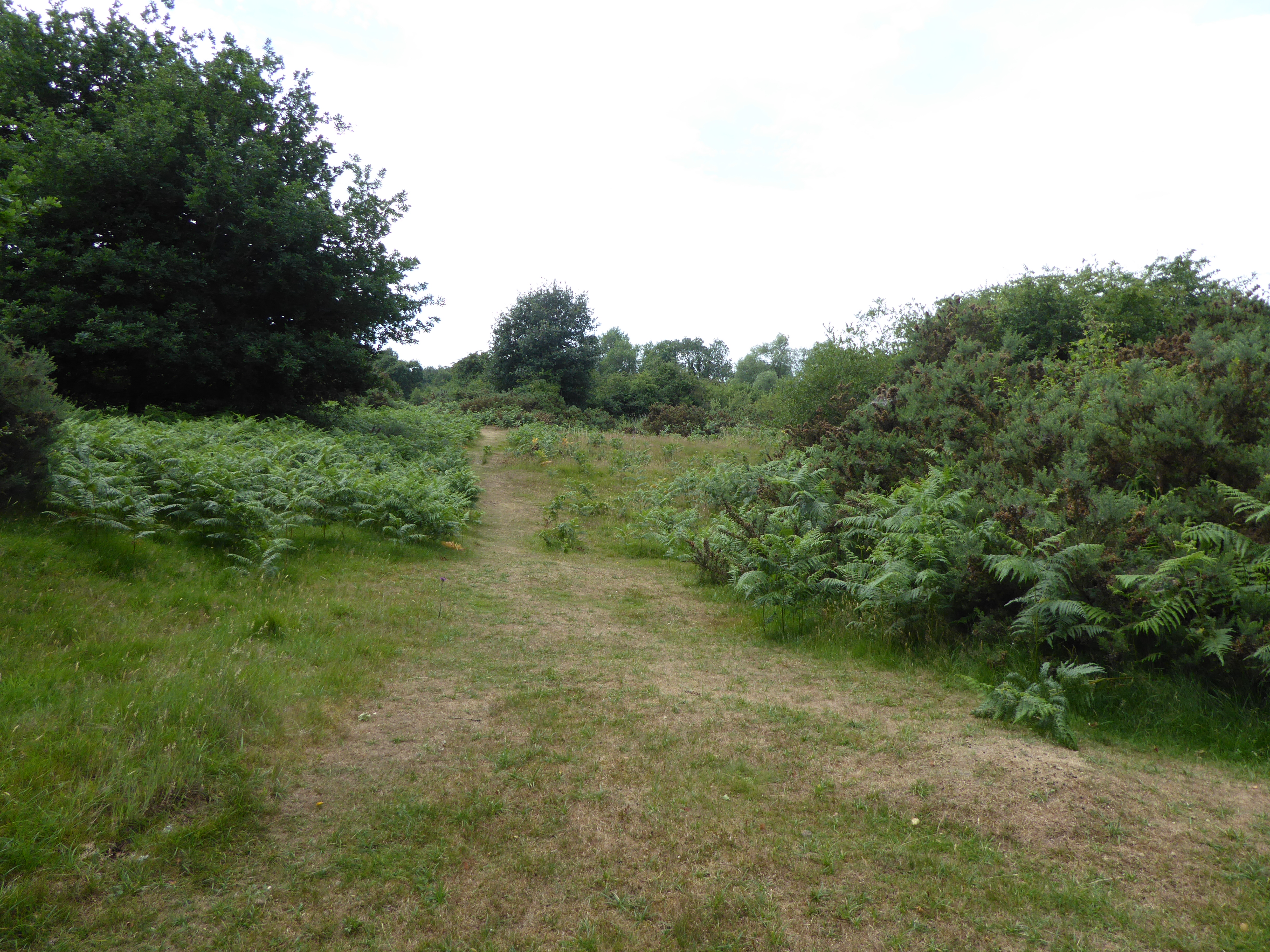
The fen is a popular destination for nature enthusiasts and birdwatchers, who can explore the area via well-maintained footpaths and observation hides. The unique combination of marshland and saltings, along with its diverse wildlife, make Hopton Fen a fascinating and important ecological site in Suffolk.
If you have any feedback on the listing, please let us know in the comments section below.
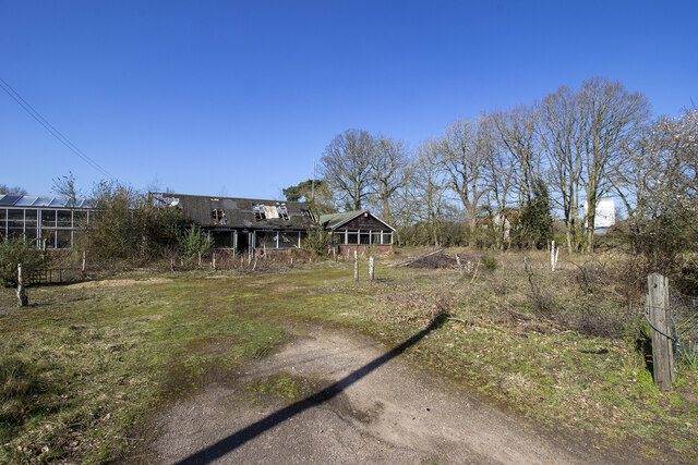
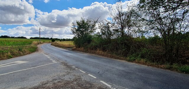
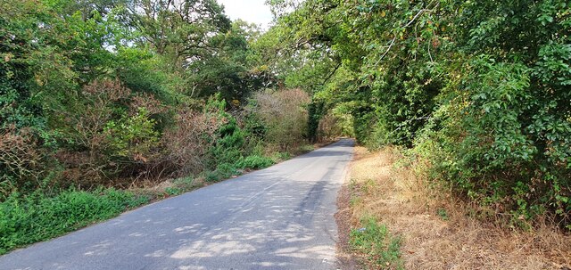
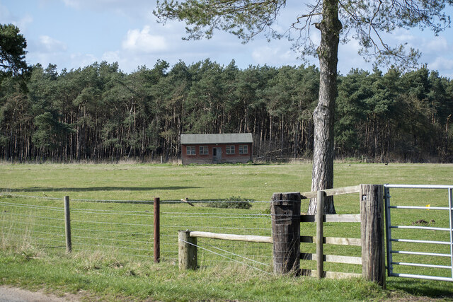
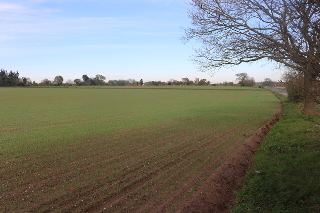
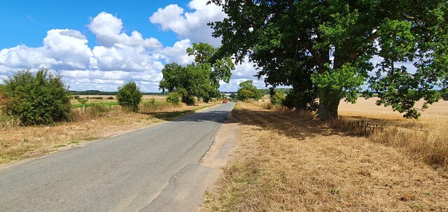
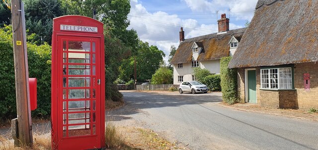
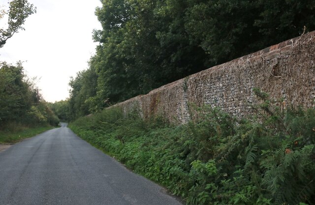
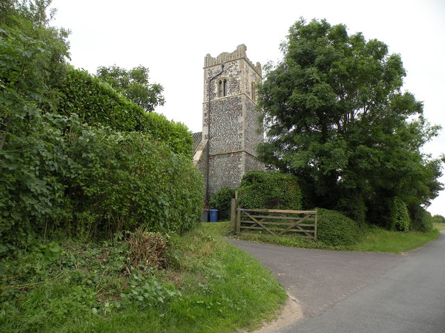
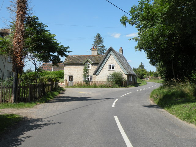
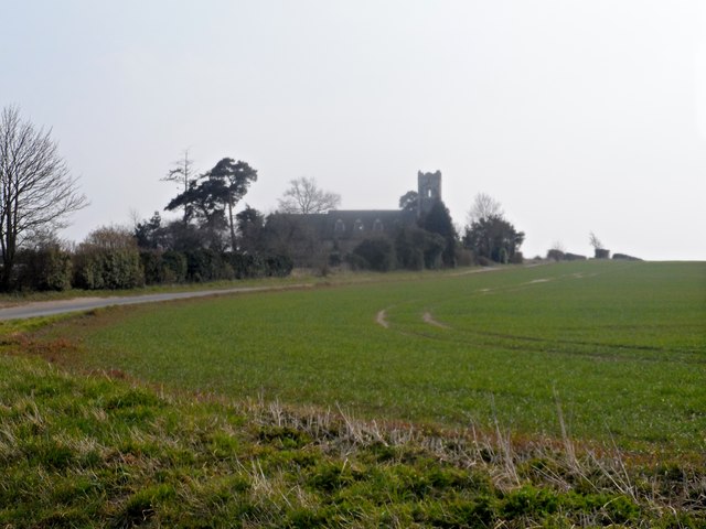
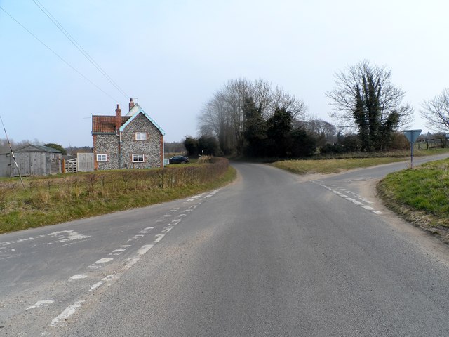
Hopton Fen Images
Images are sourced within 2km of 52.381454/0.92344979 or Grid Reference TL9979. Thanks to Geograph Open Source API. All images are credited.
Hopton Fen is located at Grid Ref: TL9979 (Lat: 52.381454, Lng: 0.92344979)
Administrative County: Suffolk
District: West Suffolk
Police Authority: Suffolk
What 3 Words
///shows.fluid.tastes. Near East Harling, Norfolk
Nearby Locations
Related Wikis

Hopton Fen
Hopton Fen is a 15.3-hectare (38-acre) biological Site of Special Scientific Interest north of Hopton in Suffolk. It is managed by the Suffolk Wildlife...
Hopton, Suffolk
Hopton is a village and civil parish in the West Suffolk district of Suffolk in eastern England. Located just south of the Norfolk border on the B1111...
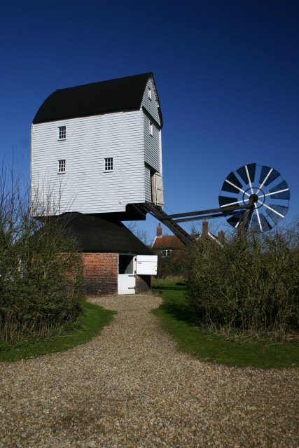
Garboldisham Windmill
Garboldisham Mill is a Grade II* listed post mill at Garboldisham, Norfolk, that has been restored. == History == Although millers were recorded in Garboldisham...
Weston Fen, Suffolk
Weston Fen is a 49.7-hectare (123-acre) biological Site of Special Scientific Interest in Hopton in Suffolk. It is part of the Waveney and Little Ouse...

Knettishall
Knettishall is a village and civil parish in the West Suffolk district of Suffolk in eastern England. Located on the south bank of the River Little Ouse...

Bugg's Hole Fen, Thelnetham
Bugg's Hole Fen is a 3.7-hectare (9.1-acre) biological Site of Special Scientific Interest north-west of Thelnetham in Suffolk.This calcareous fen in the...
Garboldisham
Garboldisham () is a village and civil parish in the English county of Norfolk. The village is located 7.1 miles (11.4 km) north-west of Diss and 22 miles...

RAF Knettishall
RAF Knettishall is a former World War II airfield in Suffolk. During the conflict, it was numbered as Station 136 by the United States Army Air Forces...
Nearby Amenities
Located within 500m of 52.381454,0.92344979Have you been to Hopton Fen?
Leave your review of Hopton Fen below (or comments, questions and feedback).