Blakeney Pit
Sea, Estuary, Creek in Norfolk North Norfolk
England
Blakeney Pit
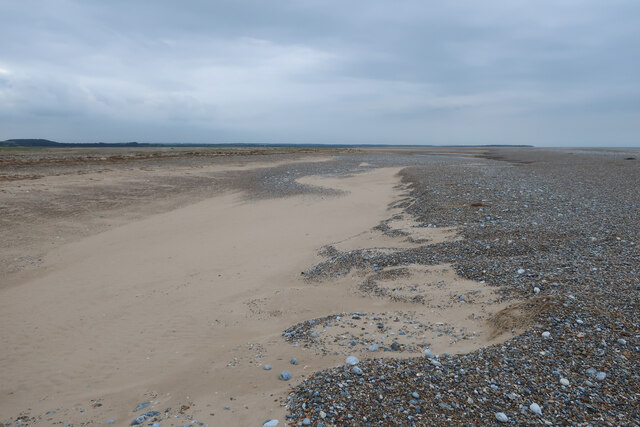
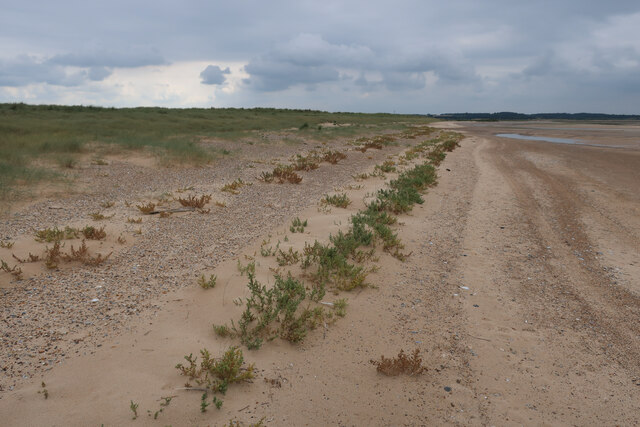
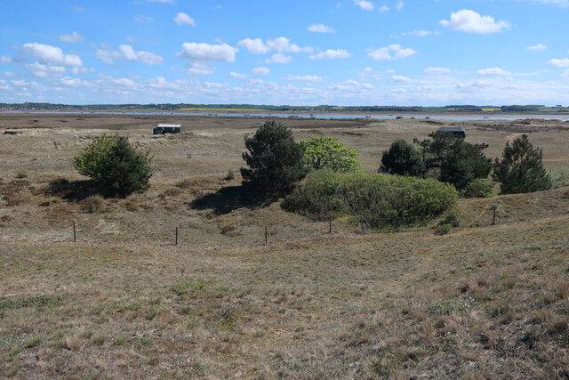
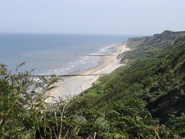
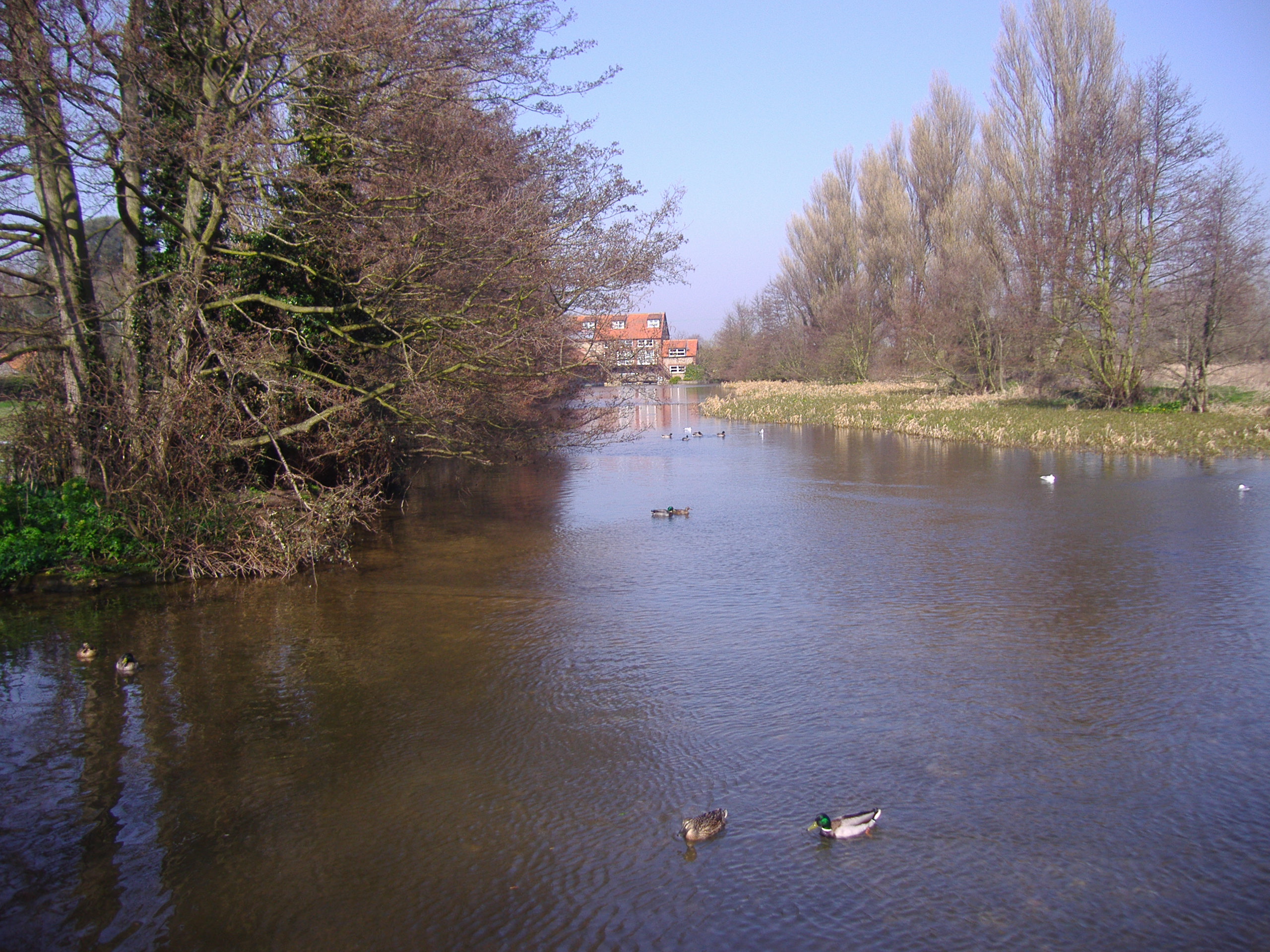
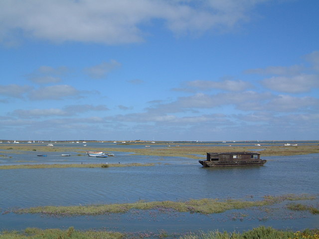
Blakeney Pit is a natural feature located in the county of Norfolk, England. It is situated along the coast of the North Sea, near the village of Blakeney. This unique geographical formation is a combination of a sea, estuary, and creek, making it a diverse and important ecosystem.
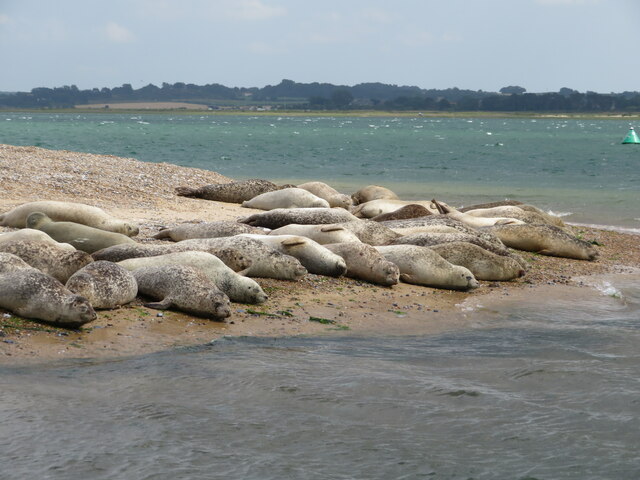
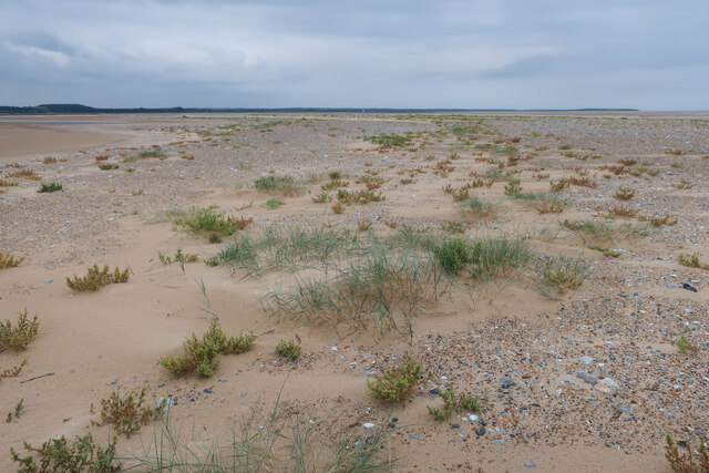
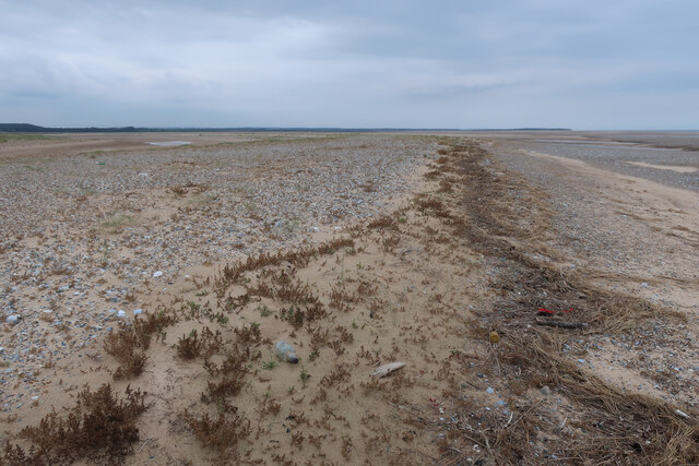
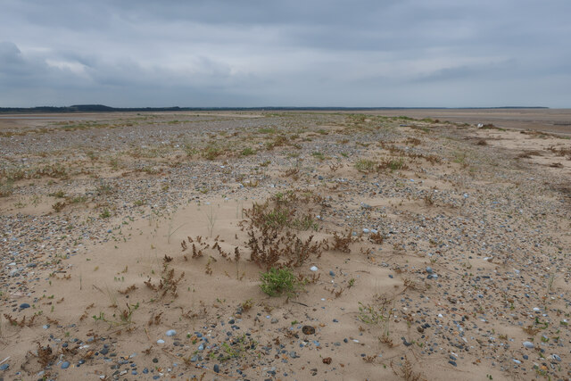
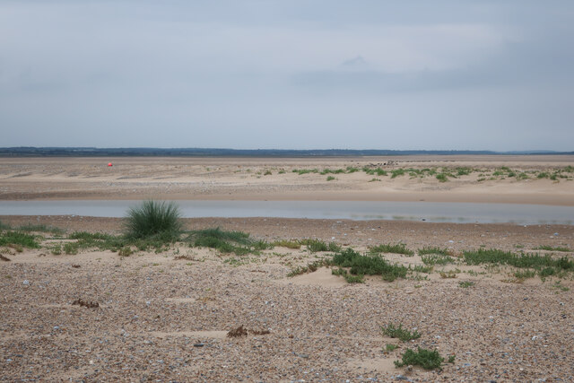
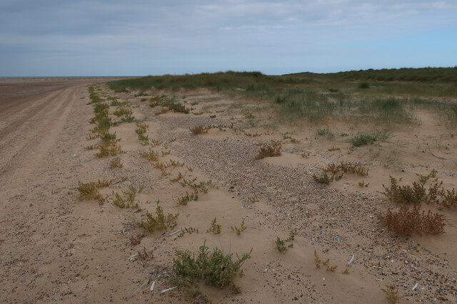
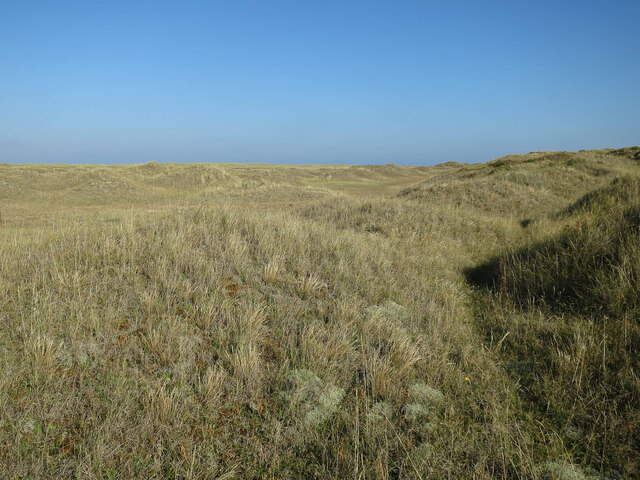
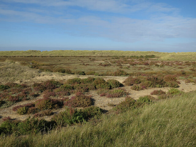
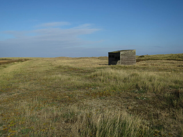
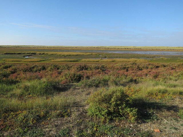
Blakeney Pit is primarily characterized by its shallow waters and muddy banks, which are exposed during low tide. This makes it a significant area for various species of water birds, especially during the winter months when migratory birds flock to the area. The pit provides an essential habitat for birds such as curlews, redshanks, and avocets, which rely on the mudflats for feeding on invertebrates.
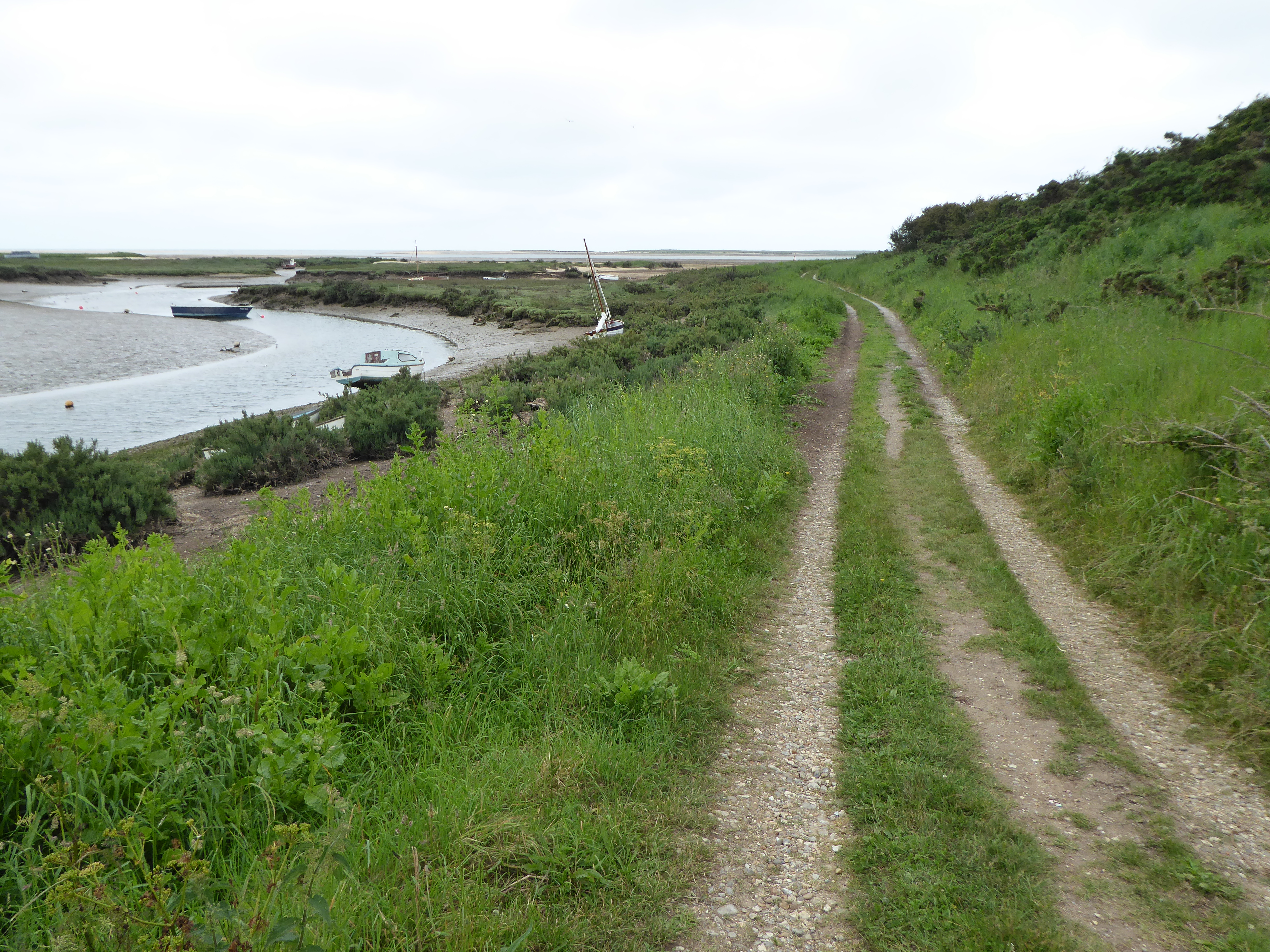
The estuary aspect of Blakeney Pit is formed by the River Glaven, which flows into the North Sea at this location. The river brings a constant supply of fresh water, mixing with the saltwater from the sea, creating a brackish environment. This unique blend of water types supports a rich diversity of marine life, including fish, crabs, and various species of shellfish.
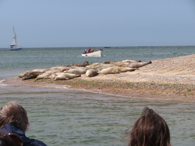
Additionally, Blakeney Pit is also home to a small creek, which winds its way through the surrounding marshland. This creek serves as a vital channel for water flow, providing drainage for the surrounding area during high tides and heavy rainfall. It also creates a serene and picturesque landscape, attracting visitors who enjoy boating and observing the local flora and fauna.
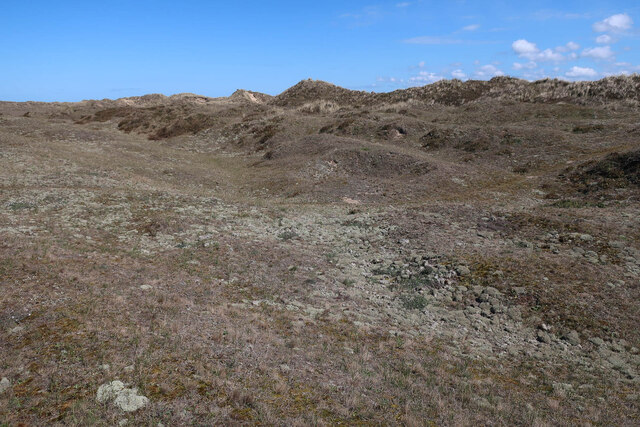
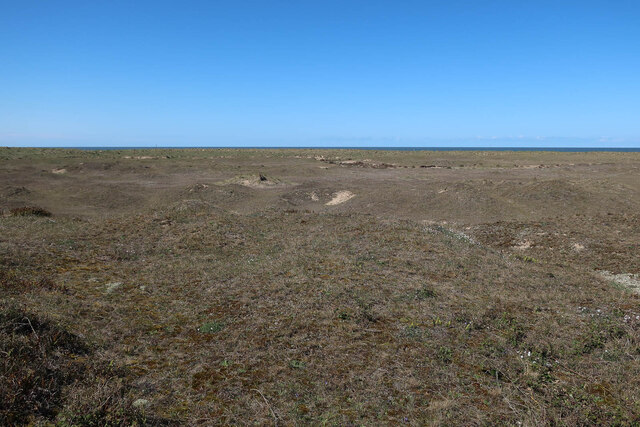
Overall, Blakeney Pit is an ecologically significant area, offering a diverse range of habitats for both marine and avian species. Its combination of a sea, estuary, and creek make it a unique and valuable natural feature within the Norfolk landscape.
If you have any feedback on the listing, please let us know in the comments section below.
Blakeney Pit Images
Images are sourced within 2km of 52.967517/0.97540654 or Grid Reference TF9945. Thanks to Geograph Open Source API. All images are credited.

Blakeney Pit is located at Grid Ref: TF9945 (Lat: 52.967517, Lng: 0.97540654)
Administrative County: Norfolk
District: North Norfolk
Police Authority: Norfolk
What 3 Words
///bedspread.reseller.bloomers. Near Wells-next-the-Sea, Norfolk
Nearby Locations
Related Wikis
Norfolk Coast AONB
The Norfolk Coast Area of Outstanding Natural Beauty is a protected landscape in Norfolk, England. It covers over 450 km2 of coastal and agricultural...
Blakeney Point
Blakeney Point (designated as Blakeney National Nature Reserve) is a national nature reserve situated near to the villages of Blakeney, Morston and Cley...

River Stiffkey
The River Stiffkey is a chalk stream running through an area of north Norfolk, England from its source near Swanton Novers to flow out into the North Sea...
Morston Cliff
Morston Cliff is a 1-hectare (2.5-acre) geological Site of Special Scientific Interest east of Wells-next-the-Sea in Norfolk. It is a Geological Conservation...

Morston
Morston is a village and civil parish in the English county of Norfolk. It covers an area of 8.68 km2 (3.35 sq mi) and had a population of 86 in 42 households...
River Glaven
The River Glaven in the eastern English county of Norfolk is 10.5 mi (16.9 km) long and flows through picturesque North Norfolk countryside to the North...

Stiffkey Valley
Stiffkey Valley is a 44.4-hectare (110-acre) biological Site of Special Scientific Interest east of Wells-next-the-Sea in Norfolk. It is in the Norfolk...
North Norfolk Coast Site of Special Scientific Interest
The North Norfolk Coast Site of Special Scientific Interest (SSSI) is an area of European importance for wildlife in Norfolk, England. It comprises 7,700...
Have you been to Blakeney Pit?
Leave your review of Blakeney Pit below (or comments, questions and feedback).