Mersea Fleet
Sea, Estuary, Creek in Essex Colchester
England
Mersea Fleet
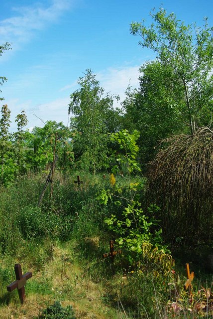
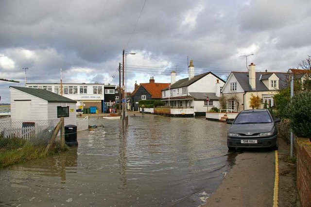
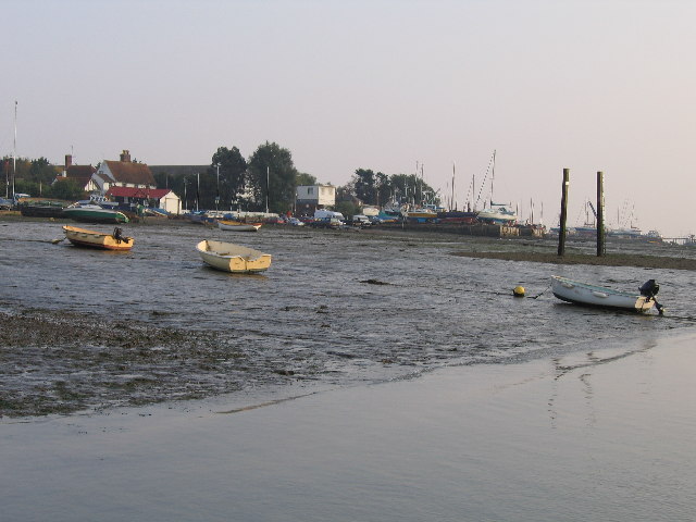
Mersea Fleet is a prominent feature of the coastal landscape in Essex, England. It is a complex network of sea, estuary, and creek that stretches across an area of approximately 1,200 hectares. The fleet is located on the eastern side of West Mersea Island, which is the larger of the two inhabited islands in the estuary of the River Blackwater.
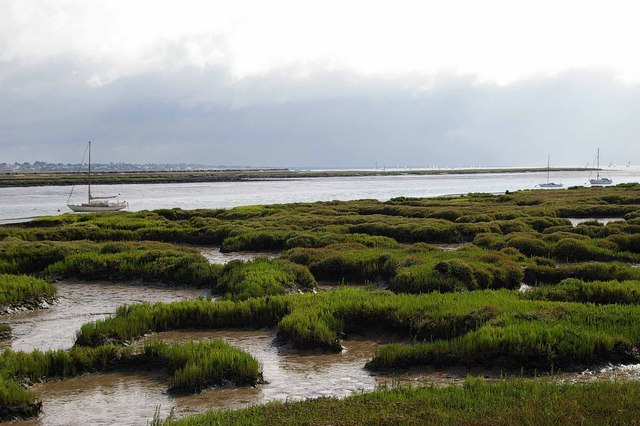
The fleet is characterized by its diverse ecosystem, supporting a wide range of plant and animal species. The shallow waters of the fleet provide an ideal habitat for various types of marine life, including fish, crabs, and mollusks. Additionally, the fleet is home to numerous bird species, making it a popular destination for birdwatching enthusiasts.
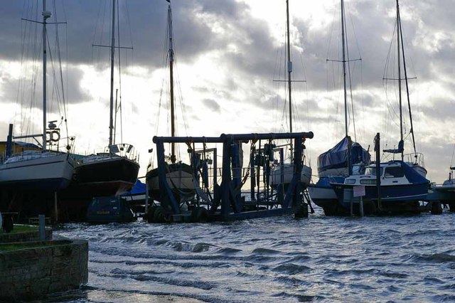
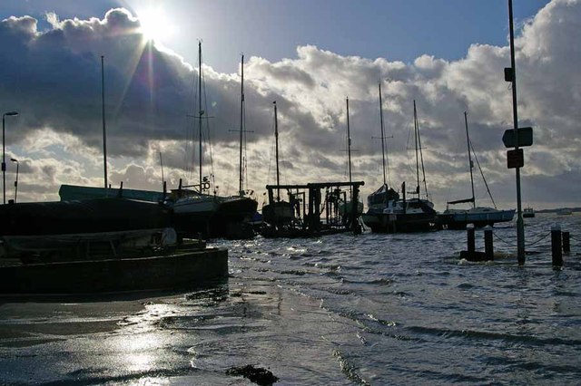
The fleet is influenced by the tidal movements of the North Sea, which create constantly changing patterns of water flow and sediment deposition. This dynamic environment makes the fleet an important site for research and study, as it offers valuable insights into the processes of coastal erosion and land formation.
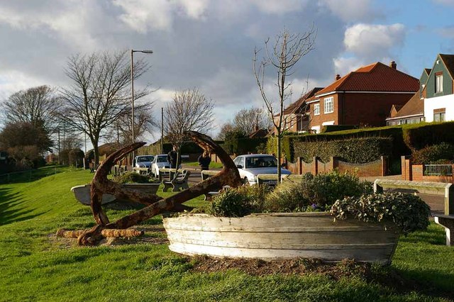
The fleet is also of historical significance, having played a crucial role in the maritime activities of the region. In the past, it served as a busy trading route, connecting the local communities with the wider world. Today, it continues to be utilized by fishermen and boaters, contributing to the vibrant coastal culture of the area.
Overall, Mersea Fleet is a captivating natural feature that offers a unique blend of ecological diversity, historical significance, and recreational opportunities. Its stunning scenery and rich biodiversity make it a cherished location for locals and visitors alike.
If you have any feedback on the listing, please let us know in the comments section below.
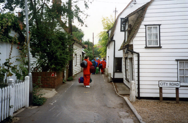
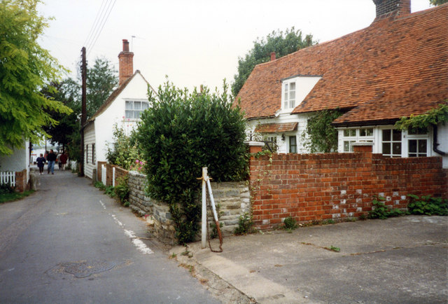
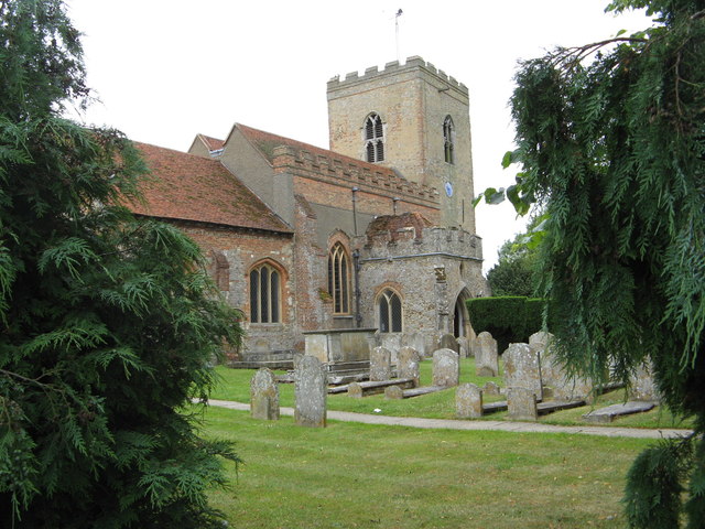
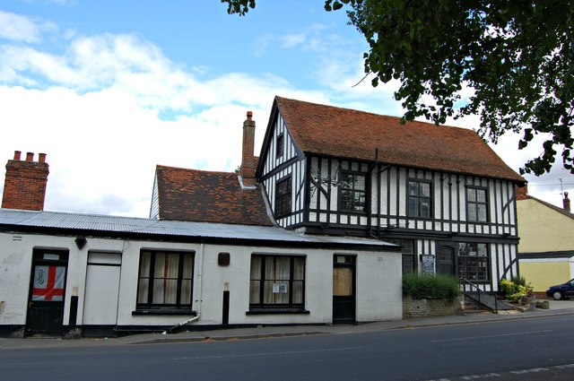
Mersea Fleet Images
Images are sourced within 2km of 51.771634/0.89630749 or Grid Reference TL9912. Thanks to Geograph Open Source API. All images are credited.

Mersea Fleet is located at Grid Ref: TL9912 (Lat: 51.771634, Lng: 0.89630749)
Administrative County: Essex
District: Colchester
Police Authority: Essex
What 3 Words
///kind.clays.inert. Near West Mersea, Essex
Nearby Locations
Related Wikis

West Mersea Yacht Club
West Mersea Yacht Club (WMYC) is a British yacht club that has its clubhouse in Coast Road, West Mersea, Mersea Island, Essex. It is on the estuary of...

West Mersea Priory
West Mersea Priory was a Benedictine priory in West Mersea, Essex, England. It was founded in 1046 and granted by Edward the Confessor to the Abbey of...
West Mersea
West Mersea is a town and electoral ward in Essex, England. It is the larger (in terms of population) of two settlements on Mersea Island, south of Colchester...
Great Cob Island
Great Cob island is a small island in the estuary of the River Blackwater in Essex, England, the United Kingdom. The island is an area of low-lying salt...
Barrow Hill, Essex
Barrow Hill is a hamlet in Essex, England. It is located on Mersea Island, approximately 2 km (1.2 mi) north-northeast of West Mersea near to where the...
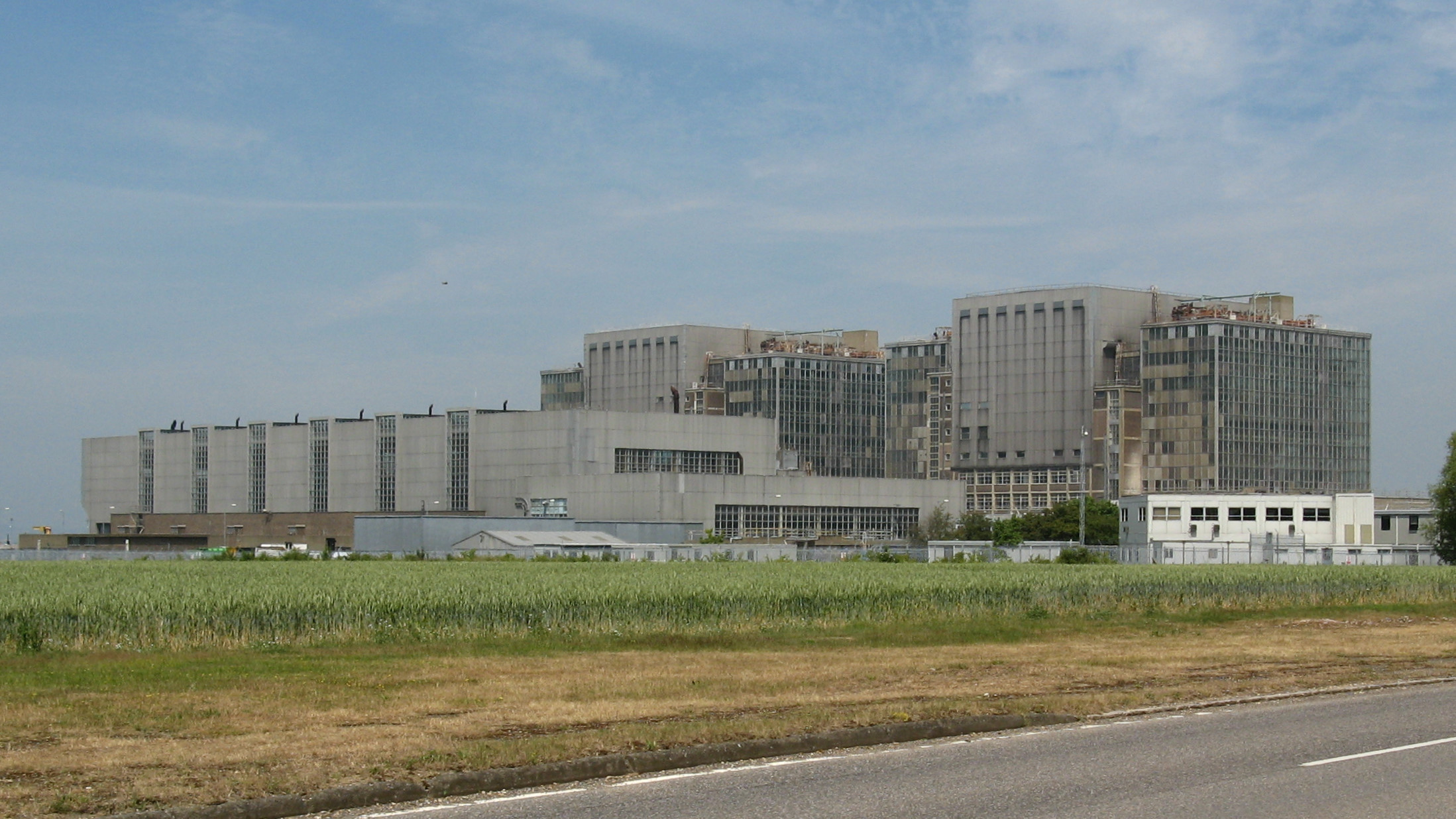
Bradwell nuclear power station
Bradwell nuclear power station is a Magnox-design nuclear power station that is undergoing decommissioning. It is located on the Dengie peninsula at the...
Bradwell B nuclear power station
Bradwell B is a proposed nuclear power station at Bradwell-on-Sea in Essex, put forward by China General Nuclear Power Group (CGN). If constructed, the...

Tollesbury Wick
Tollesbury Wick is a 242.8-hectare (600-acre) nature reserve east of Tollesbury in Essex. It is managed by the Essex Wildlife Trust.This is coastal freshwater...
Nearby Amenities
Located within 500m of 51.771634,0.89630749Have you been to Mersea Fleet?
Leave your review of Mersea Fleet below (or comments, questions and feedback).