Sunken Island
Island in Essex Colchester
England
Sunken Island
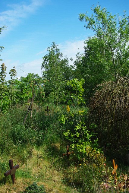
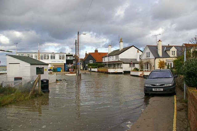
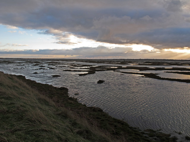
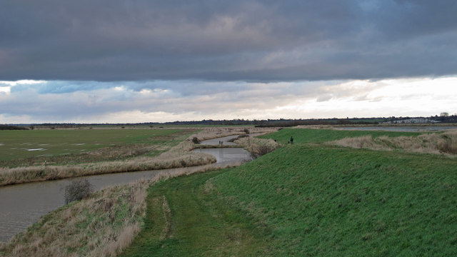
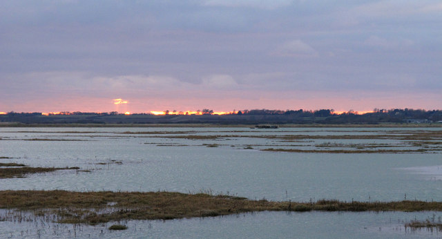
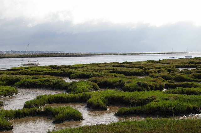
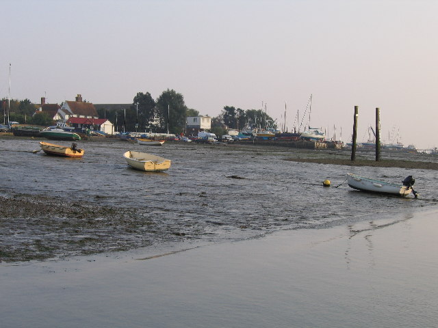
Sunken Island, also known as Foulness Island, is a small island located off the coast of Essex, England. Situated in the estuary of the River Thames, it is part of the Rochford district and covers an area of approximately 9 square miles. Despite its name, Sunken Island is not completely submerged; it is known as such due to its low-lying terrain and the risk of flooding.
The island is largely uninhabited, with a population of less than 200 people. The majority of the island is composed of marshland and farmland, providing fertile ground for agricultural activities. It is primarily used for grazing livestock and farming crops such as wheat and barley.
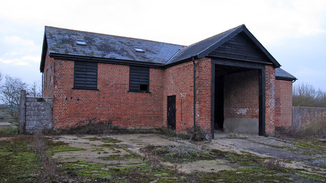
Access to Sunken Island is restricted due to its military and defense significance. The island has been used by the Ministry of Defence since World War I, and it continues to serve as a testing site for explosives and munitions. As a result, public access is limited, and visitors are only allowed during organized tours or with special permission.
The island is also home to a variety of wildlife, including numerous bird species. It has been designated as a Site of Special Scientific Interest (SSSI) and a Ramsar site, recognizing its importance for nature conservation and bird habitats.
In conclusion, Sunken Island is a small and sparsely populated island in Essex, characterized by its low-lying terrain, agricultural activities, military usage, and ecological significance.
If you have any feedback on the listing, please let us know in the comments section below.
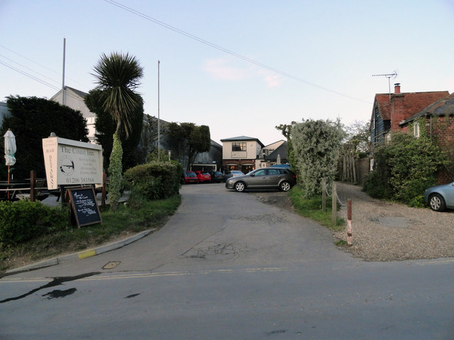
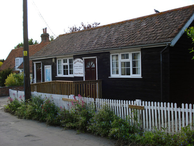
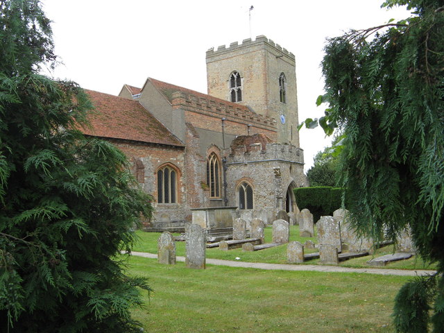
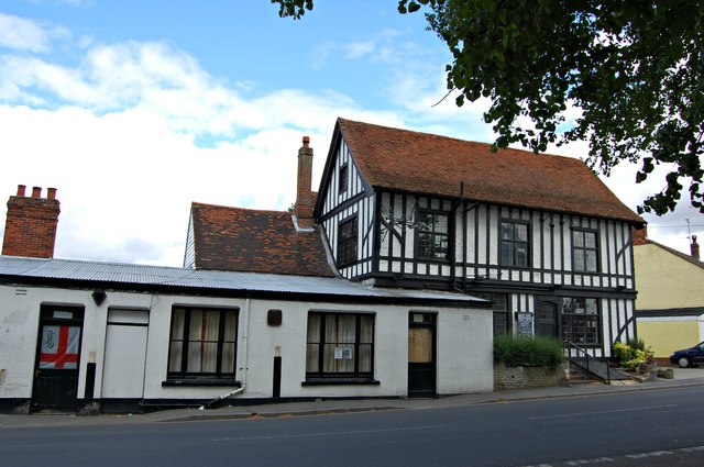
Sunken Island Images
Images are sourced within 2km of 51.776596/0.8891152 or Grid Reference TL9912. Thanks to Geograph Open Source API. All images are credited.
Sunken Island is located at Grid Ref: TL9912 (Lat: 51.776596, Lng: 0.8891152)
Administrative County: Essex
District: Colchester
Police Authority: Essex
What 3 Words
///shrug.comically.nesting. Near West Mersea, Essex
Nearby Locations
Related Wikis

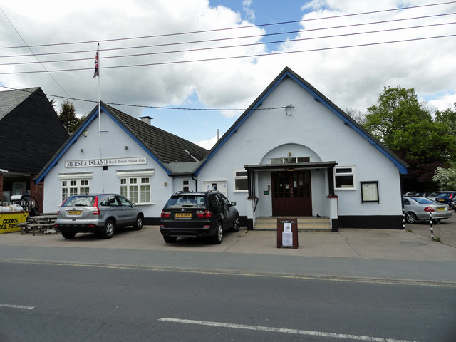
West Mersea Yacht Club
West Mersea Yacht Club (WMYC) is a British yacht club that has its clubhouse in Coast Road, West Mersea, Mersea Island, Essex. It is on the estuary of...

West Mersea Priory
West Mersea Priory was a Benedictine priory in West Mersea, Essex, England. It was founded in 1046 and granted by Edward the Confessor to the Abbey of...
Great Cob Island
Great Cob island is a small island in the estuary of the River Blackwater in Essex, England, the United Kingdom. The island is an area of low-lying salt...
West Mersea
West Mersea is a town and electoral ward in Essex, England. It is the larger (in terms of population) of two settlements on Mersea Island, south of Colchester...

Little Wigborough
Little Wigborough is a village and former civil parish, now in the parish of Great and Little Wigborough, in the Colchester borough of Essex, England and...

Ray Island
Ray Island, also known as the Ray, is a 40.5-hectare (100-acre) nature reserve west of Mersea Island in Essex. It is owned by the National Trust, who bought...
Barrow Hill, Essex
Barrow Hill is a hamlet in Essex, England. It is located on Mersea Island, approximately 2 km (1.2 mi) north-northeast of West Mersea near to where the...

Tollesbury Wick
Tollesbury Wick is a 242.8-hectare (600-acre) nature reserve east of Tollesbury in Essex. It is managed by the Essex Wildlife Trust.This is coastal freshwater...
Nearby Amenities
Located within 500m of 51.776596,0.8891152Have you been to Sunken Island?
Leave your review of Sunken Island below (or comments, questions and feedback).