Brankfleet Spit
Coastal Marsh, Saltings in Essex Rochford
England
Brankfleet Spit
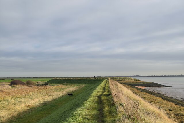
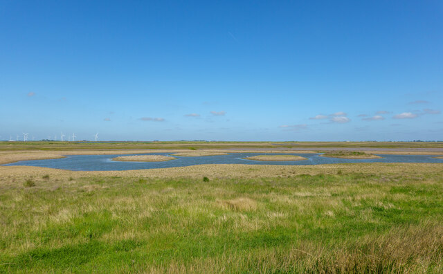
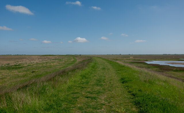
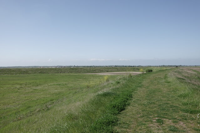
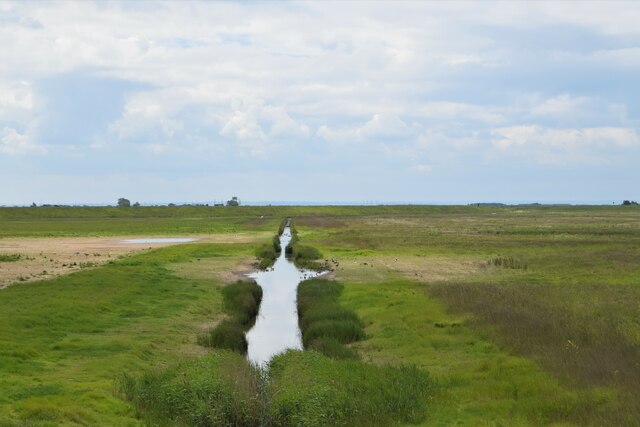
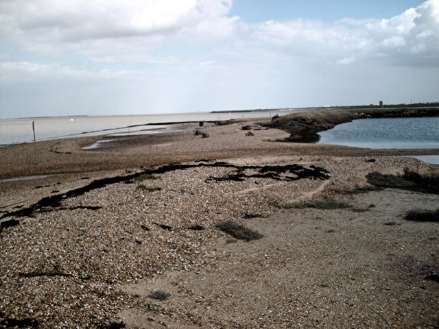
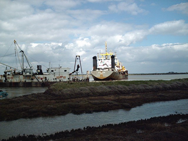
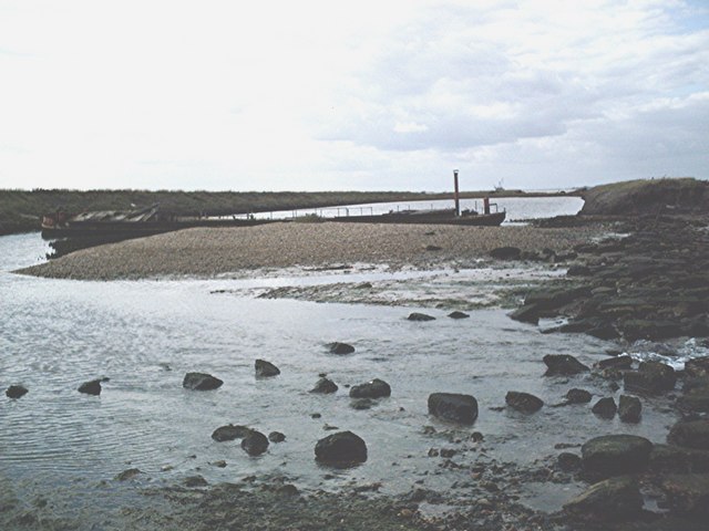
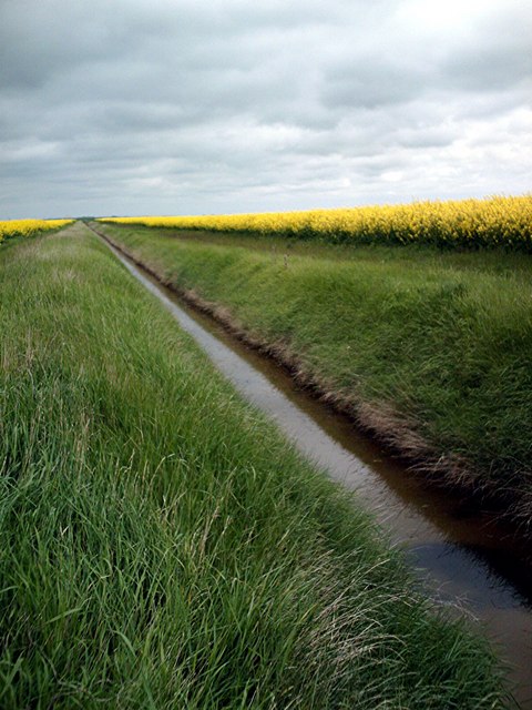
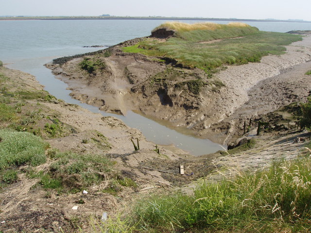
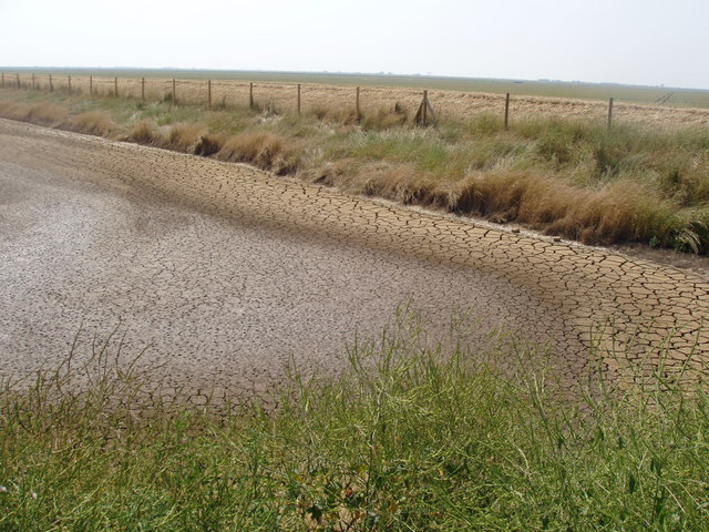
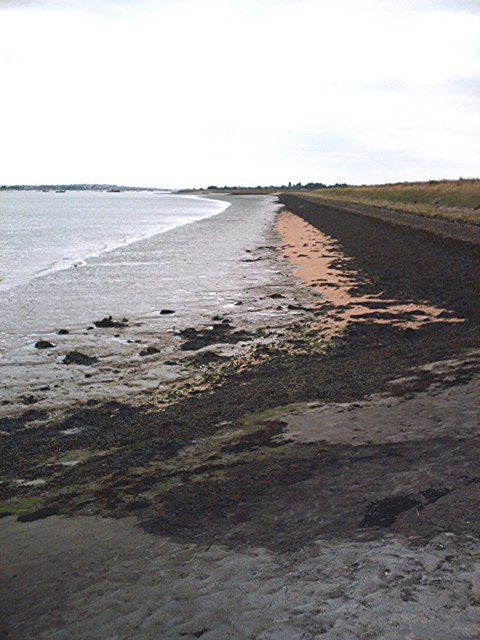
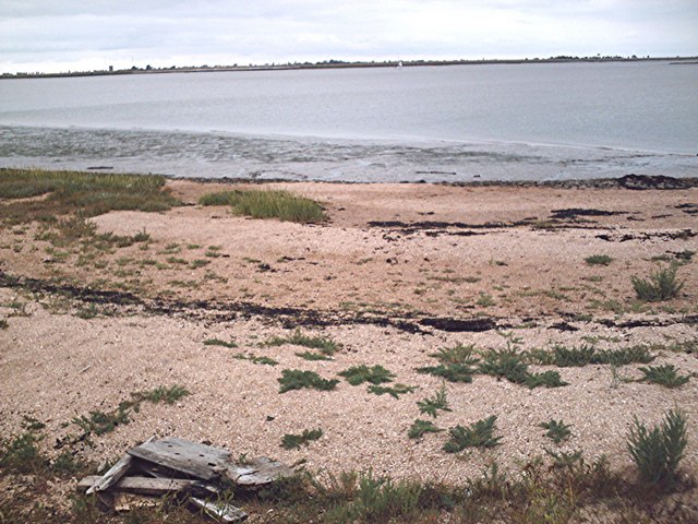
Brankfleet Spit is a coastal marsh located in Essex, England. Situated on the eastern coast, it is a prominent feature of the region's landscape. The spit is known for its vast expanse of marshland and saltings, creating a unique and diverse ecosystem.
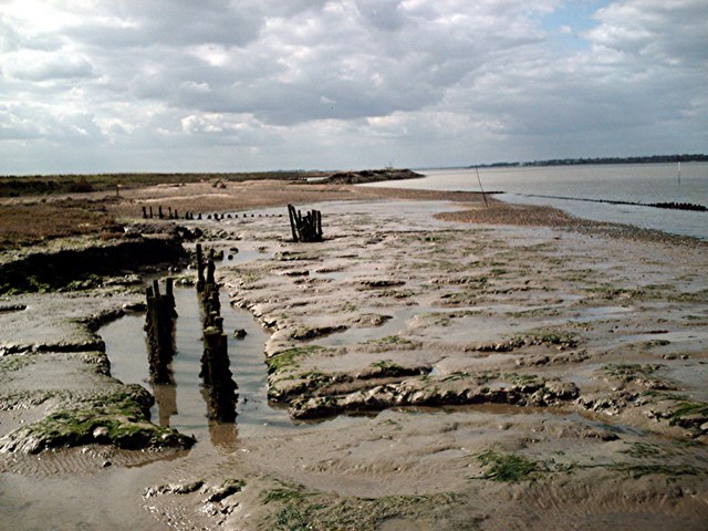
Covering an area of approximately [insert size], Brankfleet Spit is an important habitat for various species of flora and fauna. The marshland is characterized by its rich mudflats, saltmarshes, and reed beds, which provide crucial feeding and breeding grounds for a wide range of bird species. It is particularly renowned as a haven for migratory birds, attracting thousands of waders, wildfowl, and seabirds during their annual migrations.
The diverse vegetation found on Brankfleet Spit includes salt-tolerant grasses, samphire, sea lavender, and reeds. These plants play a vital role in stabilizing the marshland and providing shelter and food for various animal species. The spit is also home to several rare and protected species, such as the natterjack toad and the silver-studded blue butterfly.
Brankfleet Spit is not only valued for its ecological significance but also for its scenic beauty. The marshland offers breathtaking views of the surrounding coastline and estuary, making it a popular destination for nature enthusiasts and photographers.
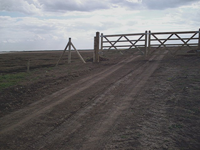
Efforts are made to preserve the delicate balance of this ecosystem, with designated nature reserves and protected areas in place. Visitors can explore the marshland through designated footpaths and enjoy the tranquility and natural beauty that Brankfleet Spit has to offer.
If you have any feedback on the listing, please let us know in the comments section below.
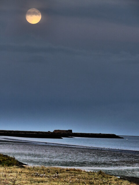
Brankfleet Spit Images
Images are sourced within 2km of 51.615533/0.86679257 or Grid Reference TQ9894. Thanks to Geograph Open Source API. All images are credited.
Brankfleet Spit is located at Grid Ref: TQ9894 (Lat: 51.615533, Lng: 0.86679257)
Administrative County: Essex
District: Rochford
Police Authority: Essex
What 3 Words
///afflicted.slack.devotion. Near Burnham-on-Crouch, Essex
Nearby Locations
Related Wikis
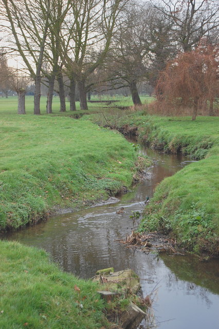
River Roach
The River Roach is a river that flows entirely through the English county of Essex. It is one of four main streams that originate in the Rayleigh Hills...

Wallasea Wetlands
Wallasea Wetlands is a reclaimed wetlands area located in Essex, England. It has been created as part of a government-funded wetlands scheme to halt the...

Saint Mary the Virgin, Foulness Island
Saint Mary the Virgin is a parish of the Church of England on Foulness Island, in Essex, England. Before the 15th century, the island of Foulness was divided...

Foulness Island
Foulness Island () is a closed island on the east coast of Essex in England, which is separated from the mainland by narrow creeks. In the 2001 census...

Wallasea Island
Wallasea Island lies in Essex, England. It is bounded to the north by the River Crouch, to the south east by the River Roach, and to the west by Paglesham...

Royal Corinthian Yacht Club
The Royal Corinthian Yacht Club is a watersports organisation based at Burnham-on-Crouch, Essex. == History == === Early history === The club was founded...

Rio Cinema (Burnham on Crouch)
The Rio Cinema is a purpose-built, two-screen, 280-seat cinema in Burnham on Crouch, Essex in the United Kingdom. The building dates from 1931. The Burnham...
Burnham-on-Crouch & District Museum
The Burnham-on-Crouch and District Museum, located in Burnham-on-Crouch, Essex, is a registered charity run by members of the Burnham History Society,...
Nearby Amenities
Located within 500m of 51.615533,0.86679257Have you been to Brankfleet Spit?
Leave your review of Brankfleet Spit below (or comments, questions and feedback).