Spitend Point
Coastal Marsh, Saltings in Kent Swale
England
Spitend Point
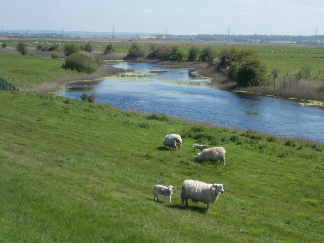
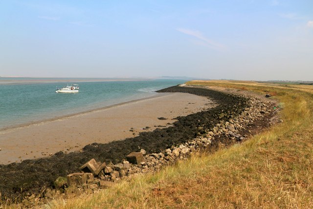
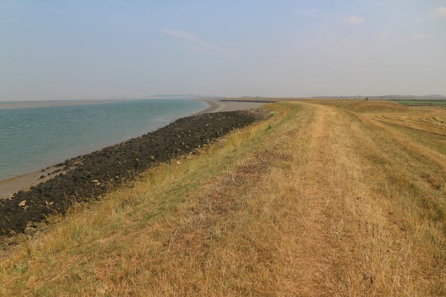
Spitend Point is a stunning coastal marsh located in Kent, England. It is a part of the larger coastal marshes and saltings area that stretches along the southeastern coast of the country. The area is known for its exceptional natural beauty and diverse range of wildlife.
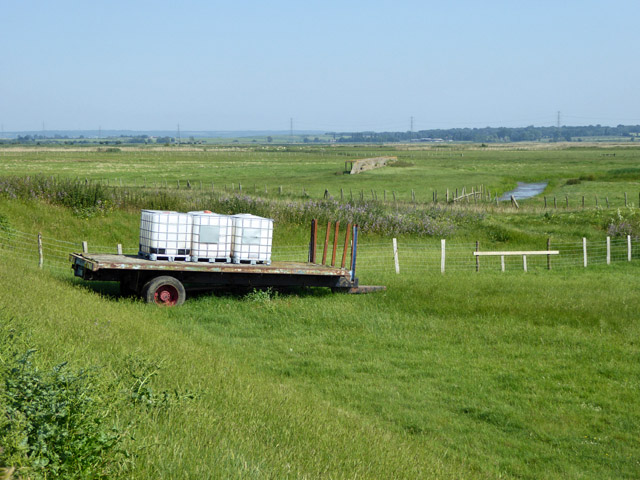
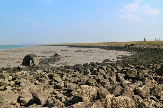
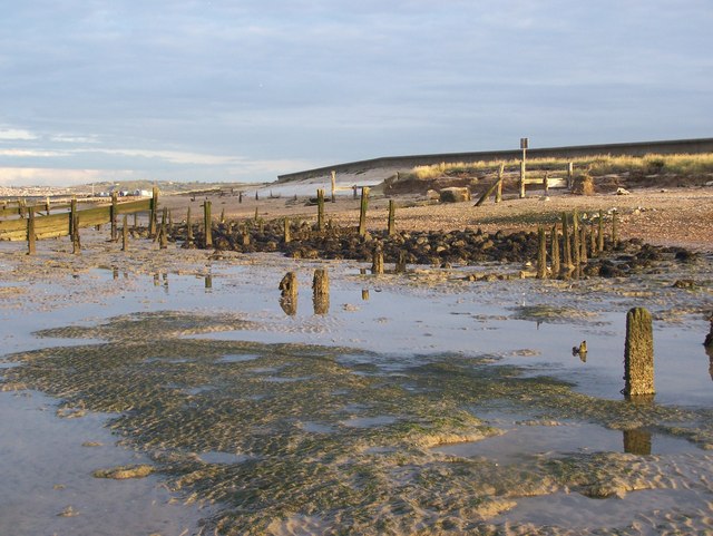
The marshland at Spitend Point is characterized by its flat, low-lying terrain and its proximity to the sea. It is a prime example of a salt marsh, with large areas of marsh grasses, mudflats, and tidal creeks. These marshes are formed by the deposition of sediments carried by the tides and are an essential habitat for various plant and animal species.
The vegetation in the area is diverse, with salt-tolerant plants such as samphire, sea lavender, and sea purslane dominating the landscape. These plants not only provide food and shelter for a multitude of bird species but also contribute to the stabilization of the marshland.
Spitend Point is a haven for birdwatchers and nature enthusiasts, as it supports a significant population of migratory and resident bird species. Visitors may spot wading birds like curlews, redshanks, and dunlins, as well as raptors such as marsh harriers and peregrine falcons. The marshes also attract waterfowl like teal, wigeons, and shelducks.
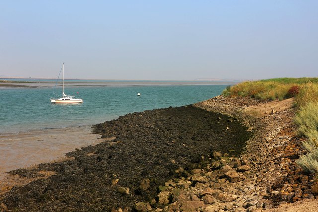
Aside from its ecological importance, Spitend Point offers breathtaking views of the surrounding coastline and the vast expanse of the sea. The area is a designated Site of Special Scientific Interest (SSSI) and is managed by conservation organizations to preserve its delicate ecosystem and ensure its long-term sustainability.
If you have any feedback on the listing, please let us know in the comments section below.
Spitend Point Images
Images are sourced within 2km of 51.364096/0.85099775 or Grid Reference TQ9866. Thanks to Geograph Open Source API. All images are credited.


Spitend Point is located at Grid Ref: TQ9866 (Lat: 51.364096, Lng: 0.85099775)
Administrative County: Kent
District: Swale
Police Authority: Kent
What 3 Words
///snips.maker.lifeboats. Near Eastchurch, Kent
Nearby Locations
Related Wikis
The Swale
The Swale is a tidal channel of the Thames estuary that separates the Isle of Sheppey from the rest of Kent. On its banks is a 6,509.4-hectare (16,085...

Uplees
Uplees is a remote hamlet north of Faversham, Kent in southeast England. It was a key part of the Faversham explosives industry during World War I, with...
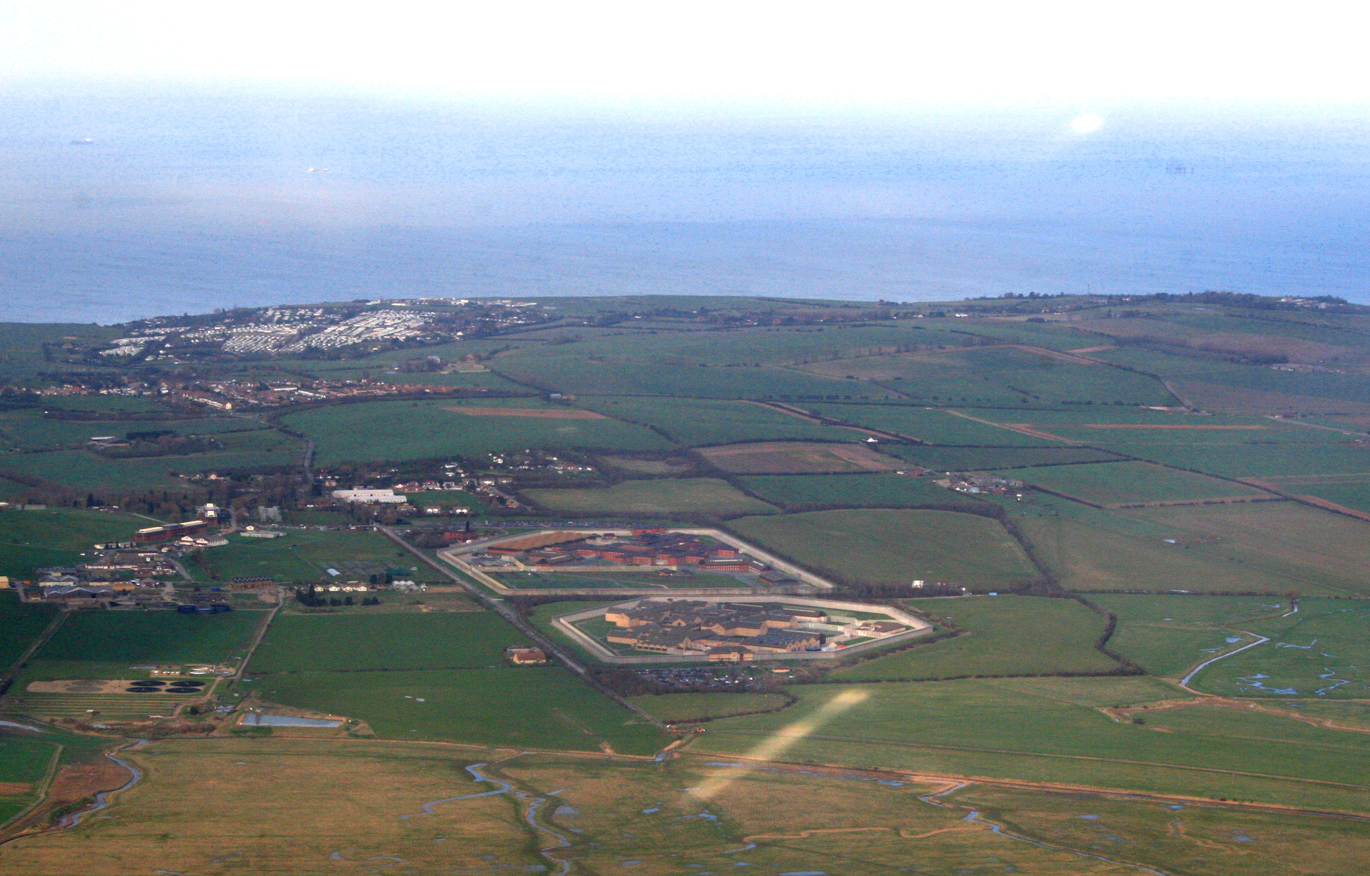
HM Prison Elmley
HM Prison Elmley is a local Category B/C men's prison, located close to the village of Eastchurch on the Isle of Sheppey, Kent. The term 'local' means...

Harty
Harty is a small hamlet on the Isle of Sheppey in Kent consisting of a few cottages, a church and a public house, the Ferry Inn (a Grade II listed building...
Nearby Amenities
Located within 500m of 51.364096,0.85099775Have you been to Spitend Point?
Leave your review of Spitend Point below (or comments, questions and feedback).