Admiral's Marsh
Coastal Marsh, Saltings in Norfolk King's Lynn and West Norfolk
England
Admiral's Marsh
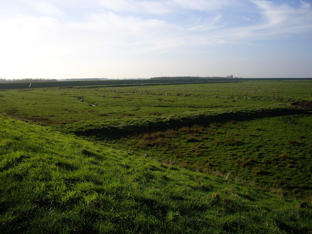
Admiral's Marsh, located in Norfolk, England, is a coastal marsh and saltings area of significant ecological importance. Situated near the village of Holme-next-the-Sea, it forms part of the larger Holme Dunes National Nature Reserve.
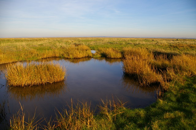
Covering an approximate area of 150 hectares, Admiral's Marsh consists of a diverse range of habitats, including salt marshes, mud flats, sand dunes, and freshwater pools. These habitats provide a crucial environment for a wide variety of plant and animal species, many of which are rare and protected.
The salt marshes and mud flats are characterized by their salt-tolerant vegetation, such as samphire and sea lavender, which thrive in the brackish conditions created by the mixing of saltwater and freshwater. These areas are also important feeding grounds for various wading birds, including redshanks, avocets, and oystercatchers.
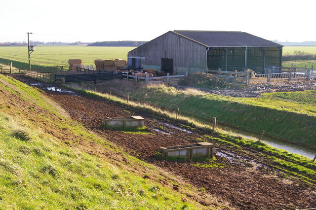
The sand dunes of Admiral's Marsh are another vital habitat, providing a natural barrier against coastal erosion and acting as a haven for a range of plant species, including orchids and rare fungi. The dunes also support a diverse insect population, attracting various bird species that rely on them for nesting and foraging.
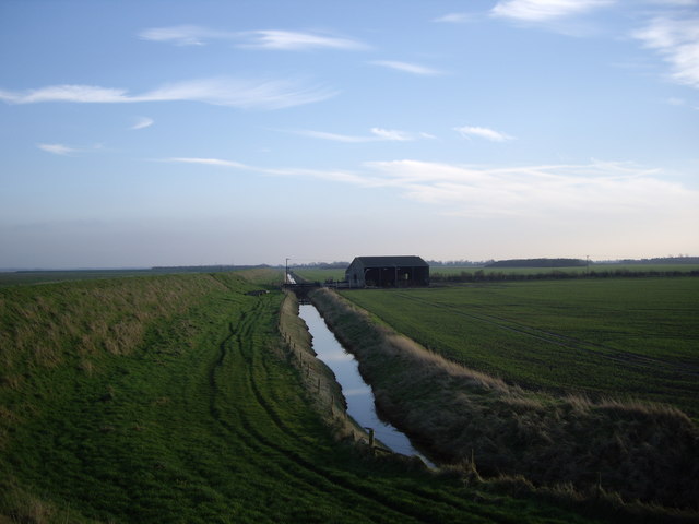
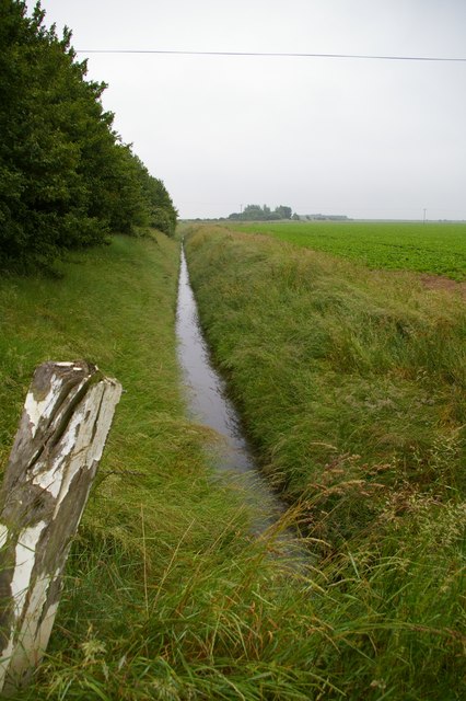
The freshwater pools scattered throughout the marsh are home to a variety of aquatic plants and invertebrates, attracting amphibians, such as frogs and newts. These pools also act as a valuable water source for a wide array of bird species, including ducks, geese, and swans.
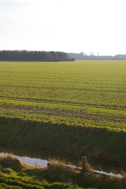
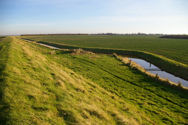
Admiral's Marsh is not only significant for its biodiversity but also for its role in flood protection. The marsh acts as a natural buffer, absorbing excess water during high tides and storm surges, reducing the risk of coastal flooding to nearby areas.
Due to its ecological importance, Admiral's Marsh is protected and managed by various conservation organizations, ensuring the preservation of this vital coastal marsh and saltings area for future generations to enjoy and study.
If you have any feedback on the listing, please let us know in the comments section below.
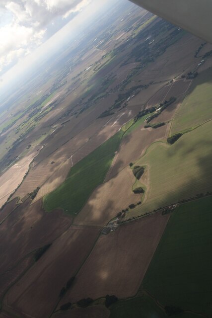
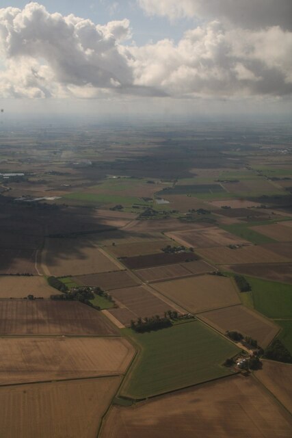
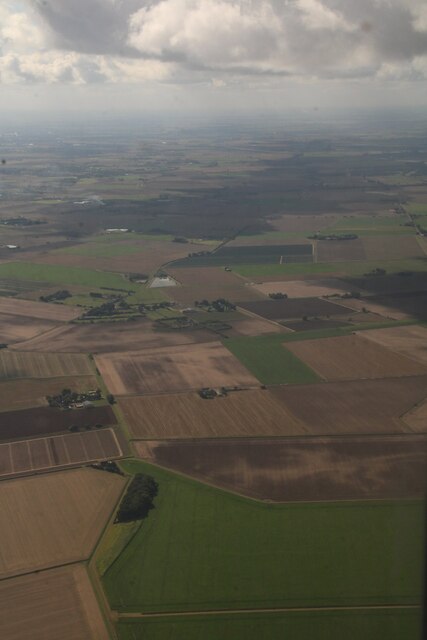
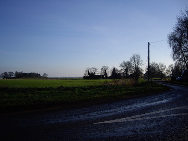
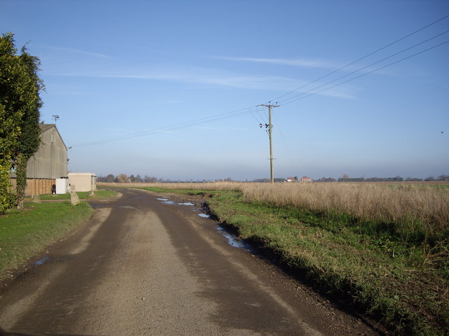
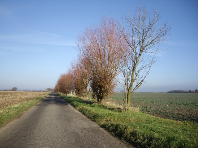
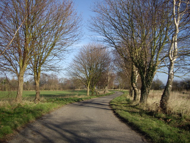
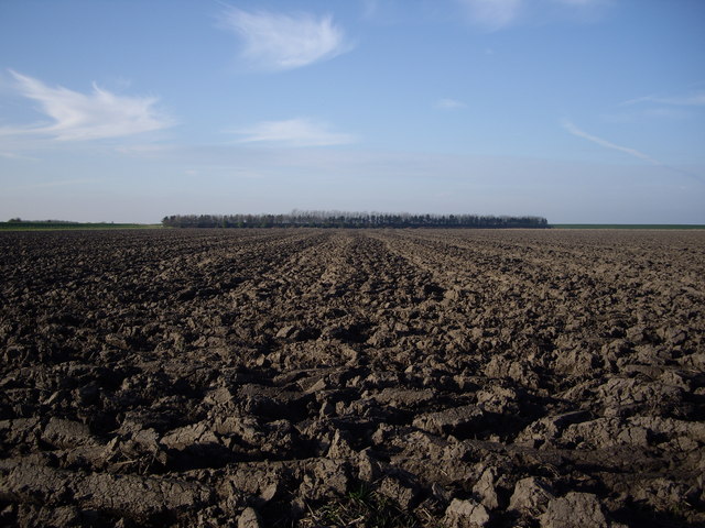
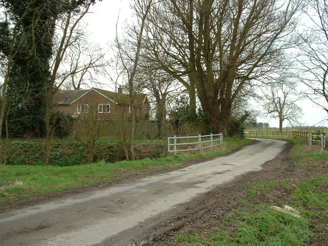
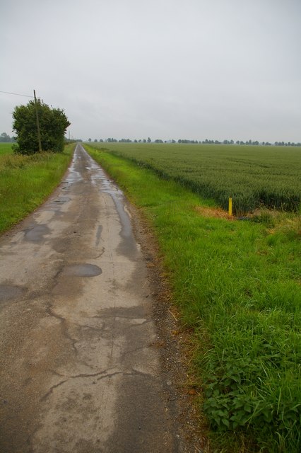
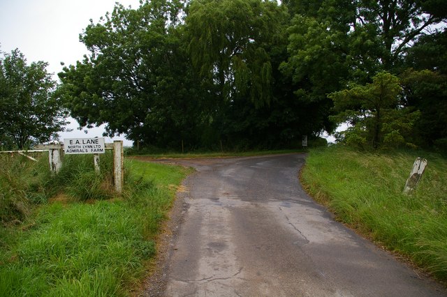
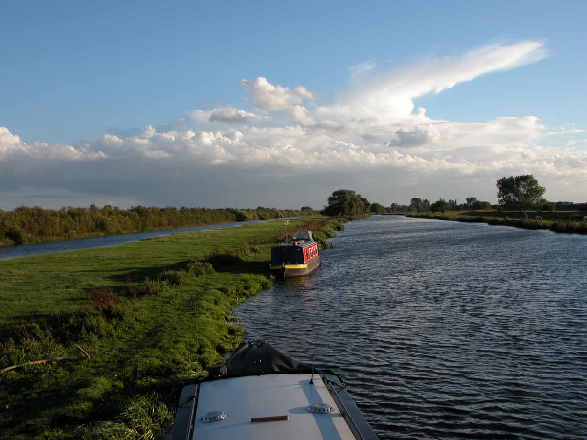
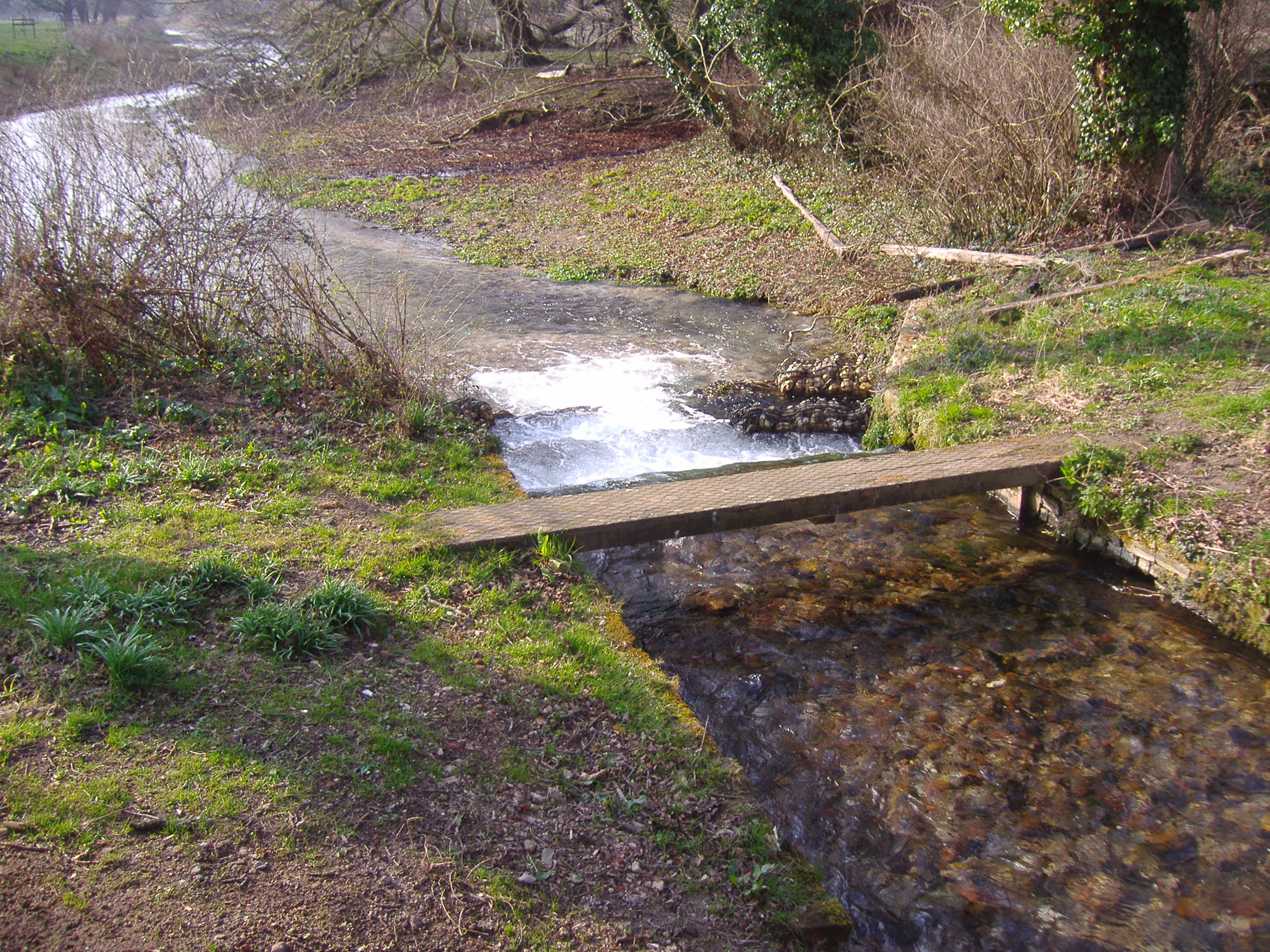
Admiral's Marsh Images
Images are sourced within 2km of 52.794918/0.31700178 or Grid Reference TF5624. Thanks to Geograph Open Source API. All images are credited.
Admiral's Marsh is located at Grid Ref: TF5624 (Lat: 52.794918, Lng: 0.31700178)
Administrative County: Norfolk
District: King's Lynn and West Norfolk
Police Authority: Norfolk
What 3 Words
///curry.conducted.purple. Near Terrington St Clement, Norfolk
Nearby Locations
Related Wikis
River Great Ouse
The River Great Ouse () is a river in England, the longest of several British rivers called "Ouse". From Syresham in Northamptonshire, the Great Ouse flows...

St Clement's High School
St Clement's High School is a coeducational secondary school with academy status, located in the village of Terrington St Clement, in the English county...
River Babingley
The Babingley is a minor river in the northwest of the county Norfolk in England. It runs 12.2 miles (19.6 km) from its source at the village of Flitcham...
Bellmount
Bellmount is a village in Norfolk, England.

Terrington St Clement
Terrington St Clement is a village and civil parish in King's Lynn and West Norfolk borough and district in Norfolk, England. It is in the drained marshlands...

Clenchwarton
Clenchwarton is a village, civil parish and electoral ward in the English county of Norfolk. It is located about 1+1⁄4 miles (2 km) west of the River Great...
Clenchwarton railway station
Clenchwarton Railway Station is a former train station in Clenchwarton, Norfolk. It was part of the Midland and Great Northern Joint Railway line from...
Terrington railway station
Terrington railway station is a former station in Terrington St Clement, Norfolk. It opened in 1866 and was closed in 1959. It was on the Midland and Great...
Nearby Amenities
Located within 500m of 52.794918,0.31700178Have you been to Admiral's Marsh?
Leave your review of Admiral's Marsh below (or comments, questions and feedback).